New Mexico campgrounds and permits
172 facilities, 49 of which we can watch for cancellations.
- 5 Points VistaFacility · not watchable
Located in the far SW portion of the Guadalupe Ranger District, this viewing area (vista) offers spectacular views of the 'Rim' and the Guadalupe Mountains.
- 74 Mountain #153 TrailheadFacility · not watchable
Trailhead for Mogollon Trail #153 and access into the southwestern portion of the Gila Wilderness.
- Aguirre Spring Recreation Area and CampgroundCampground · not watchable
The high wall, needle-like spires of the Organ Mountains curve dramatically around a semicircle of Chihuahuan Desert habitat at the Aguirre Spring Campground.
- Alamo LookoutFacility · not watchable
Alamo Lookout was an Aermotor LX-25 type 7’ X 7’ cab sitting on a 35 foot high tower.
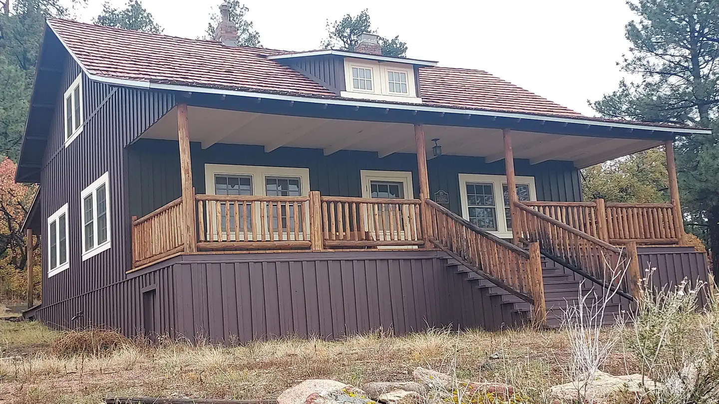 Aldo Leopold HouseCampground · 1 sites
Overview On February 2, 1912, Aldo Leopold (1887–1948) wrote to his fiancée, Estella Bergère, in Santa Fe that the Forest Service had appropriated $650 to…
- Alleged UFO Skip SiteFacility · not watchable
The alleged UFO Skip Site is the place where some people believe an unidentified flying object containing aliens crashed near Corona, N.M., in July 1947.
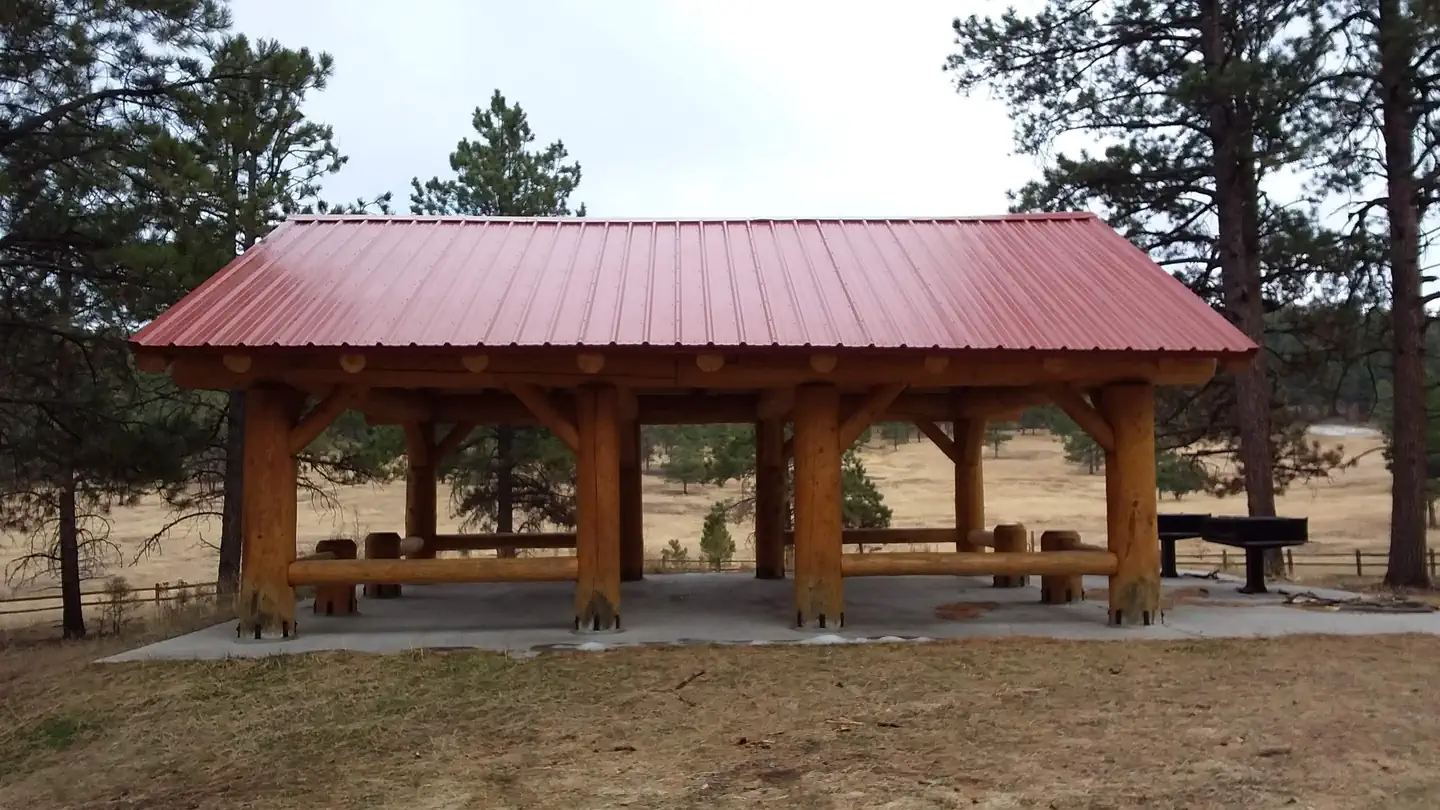 Amole Canyon Group ShelterCampground · 1 sites
Overview The Amole Group Shelter is located immediately adjacent to the popular wooded Amole Canyon Day Use Area at 8,400 feet in elevation.
- Apache Creek CampgroundFacility · not watchable
This is a nice quiet undeveloped campground amongst ponderosa pines and abundant wildlife. Apache Creek Campground is in the northwest region of the forest.
- Arrastra Interpretive SiteFacility · not watchable
Arrastra Interpretive Site, on the Silver City RD, is located adjacent to NM Hwy 15.
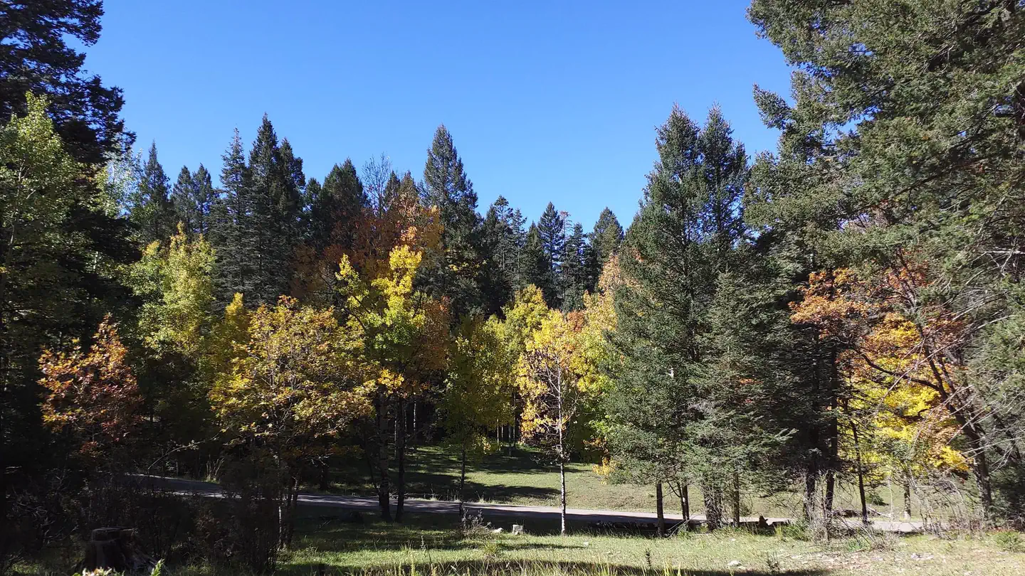 Aspen Group Area (Lincoln National Forest, NM)Campground · 1 sites
Overview At an elevation of almost 9,000 ft., campers at the Aspen Group Area can expect cool, crisp, mountain breezes coming off the steep Sacramento…
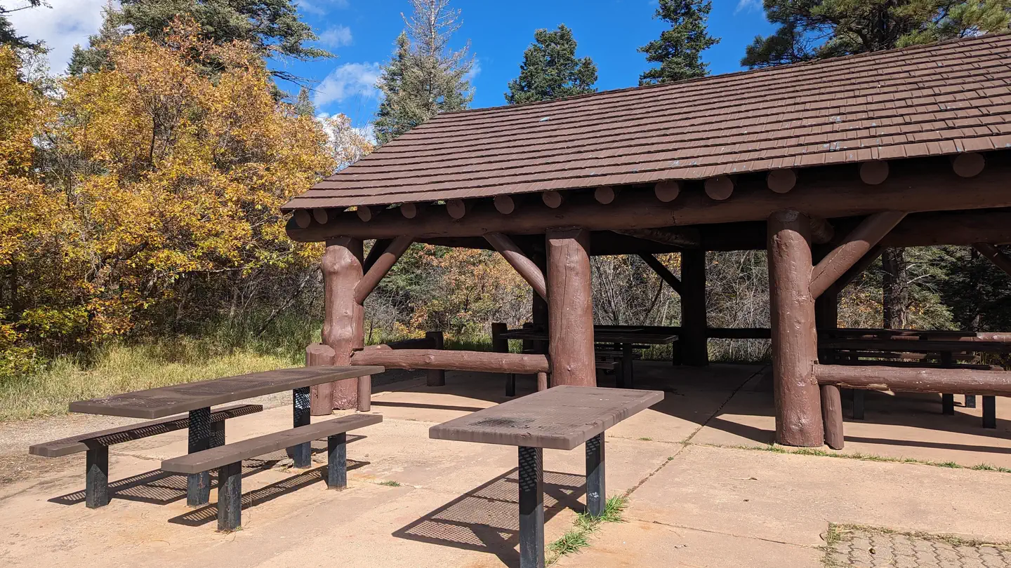 Balsam Glade Picnic SiteCampground · 1 sites
Overview Balsam Glade Picnic Site was named by an early American settler who mistook the white fir that grows here for balsam fir, as they are similar in…
- Battleship Rock Picnic SiteFacility · not watchable
This popular day use only picnic area is located where the San Antonio and East Fork-Jemez Rivers meet.
- Battleship Rock TrailheadFacility · not watchable
Trailhead parking for the East Fork Trail (Forest Trail 137) is located north of Battleship Rock Picnic Area, off NM State Highway 4, about five miles north of…
- Big Tree #755 TrailheadFacility · not watchable
Trailhead for Big Tree Trail #755. The Big Tree is a popular destination point for many local and out of town visitors to the historic Fort Bayard Military…
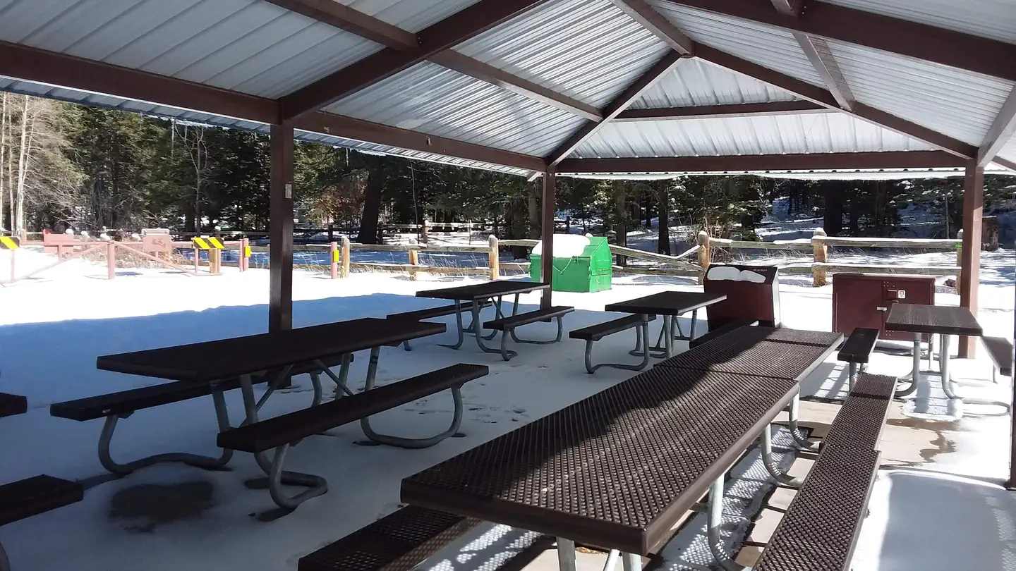 Black Bear Group AreaCampground · 1 sites
Overview Black Bear is perched atop the scenic Sacramento Mountains of south-central New Mexico, near Alamogordo and Cloudcroft.
 Black Canyon Campground (Santa Fe National Forest, NM)Campground · 36 sites
Overview At 8475 feet in elevation, Black Canyon Campground is in a great location to experience some of the finest mountain scenery the Southwest has to…
- Black Canyon Campground - LowerCampground · not watchable
This is a beautiful remote camping area. Trail #94 begins at the rear of the campground.
- Black Canyon Campground - UpperCampground · not watchable
Black Canyon Campground offers a great remote camping experience. Located in a remote area of the forest approximately 30 miles from the Wilderness Ranger…
- Bluewater LookoutFacility · not watchable
Located on the Sacramento Ranger District, the Bluewater Lookout may be the oldest lookout on the Lincoln National Forest.
- Bluffs Fishing SiteFacility · not watchable
NOTE: This fishing facility remains closed due to reduced resouce amenity constraints. Please park outside the gate and access fishing stream through the site.
- Borrego TrailheadFacility · not watchable
The Borrego Trailhead is more traditionally thought of as the trailhead from Borrego Mesa.
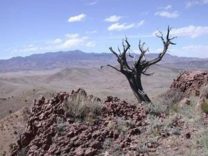 Bosque del Apache WildernessFacility · not watchable
The Bosque del Apache Wilderness now contains a total of 30,427 acres and is managed by the U.S.
- Brannon Park #700 TrailheadFacility · not watchable
Trailhead for Brannon Park Trail #700 located at Rocky Canyon Campground. This trail was logged summer 2017.
- CDNST/Mimbres Access #741 TrailheadFacility · not watchable
Trailhead for the 4 mile long Continental Divide National Scenic Trail - Mimbres Access Trail #153 providing access to the Mimbres Trail #77 (roughly 0.6 miles…
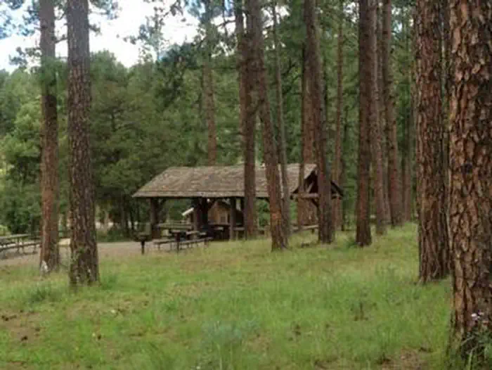 CEDAR CREEK (Sam Tobias)Campground · 4 sites
Overview Located on the outskirts of Ruidoso, Cedar Creek provides a wonderful space for groups visiting for the day or staying overnight.
- Camino Real RDFacility · not watchable
The Camino Real Ranger District is managed for many multi-use purposes; hunting, fishing, hiking, biking, skiing, snowmobiling, camping and personal firewood…
- Canjilon RDFacility · not watchable
The Canjilon Ranger District is located in the beautiful mountains of Northern New Mexico. The elevation ranges from a low of 6,500 feet up to almost 11,000…
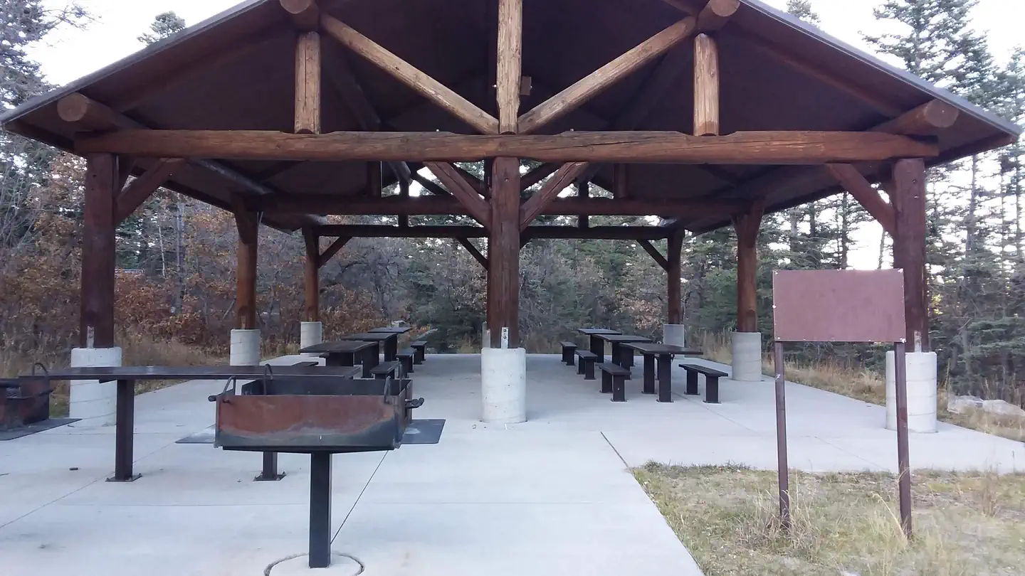 Capulin Spring Picnic SiteCampground · 1 sites
Overview Capulin Spring is a well-loved recreation spot. It accommodates fifty people.
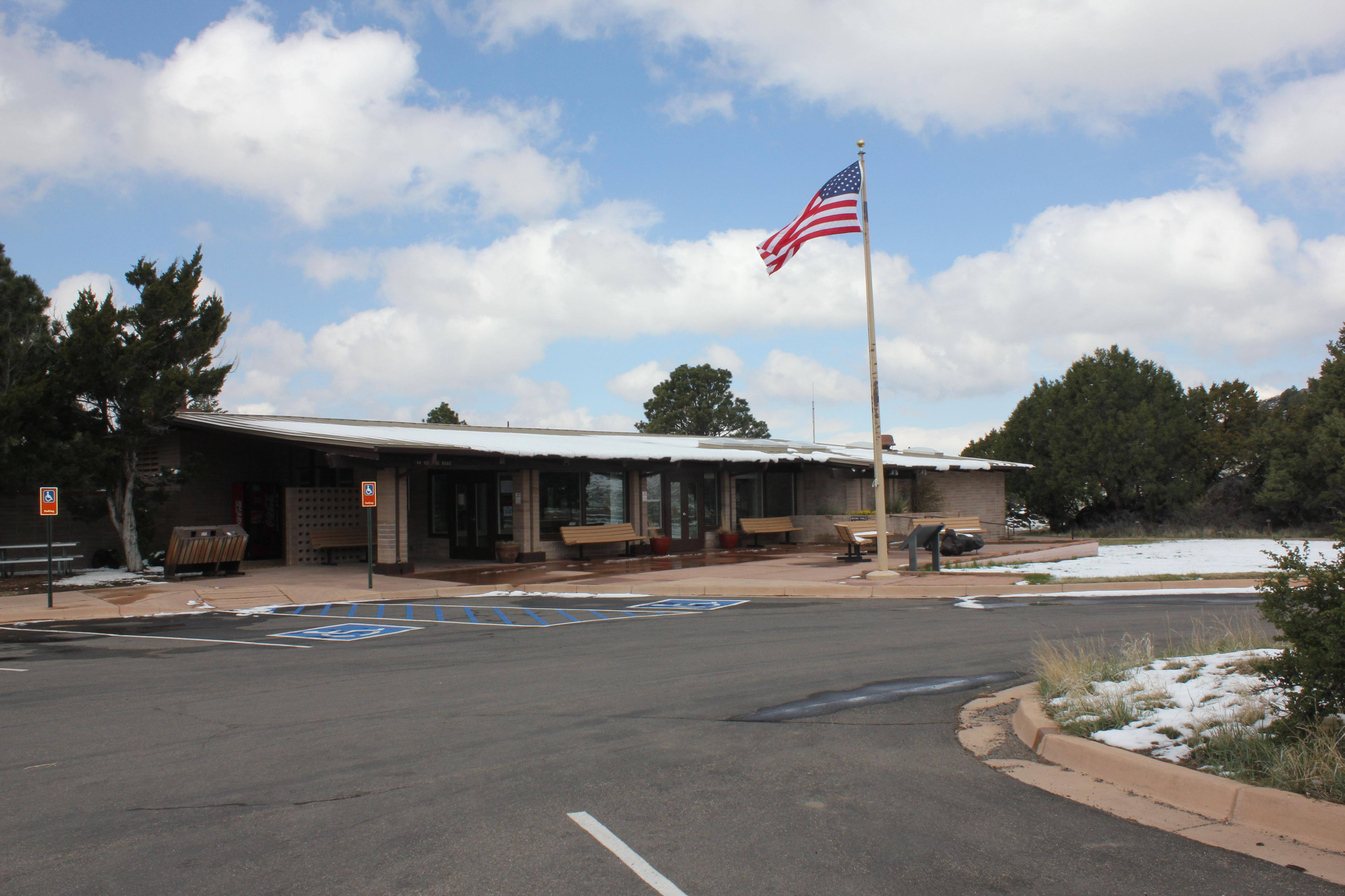 Capulin Volcano Visitor CenterVisitor Center · not watchable
The Visitor Center is at the base of Capulin Volcano and includes a fee and information station, exhibits, theater for the park film, restrooms, and a park…
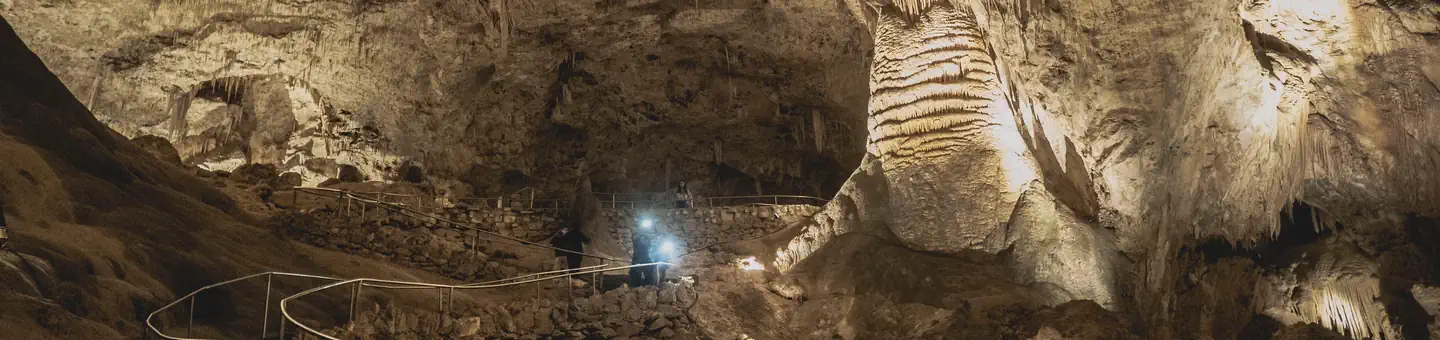 Carlsbad Caverns National Park ToursTickets
Overview: Tucked beneath the scenic and rugged Chihuahuan Desert, in the rocky slopes and deep canyons of Guadalupe Mountain range you will find Carlsbad…
- Carrissa LookoutFacility · not watchable
The Carrisa Lookout complex contains the lookout, Observer’s cabin, shed and outhouse.
- Cedar Creek Picnic ShelterFacility · not watchable
The Picnic Shelter at Cedar Creek may be reserved for group use for up to 40 people. Day-use only.
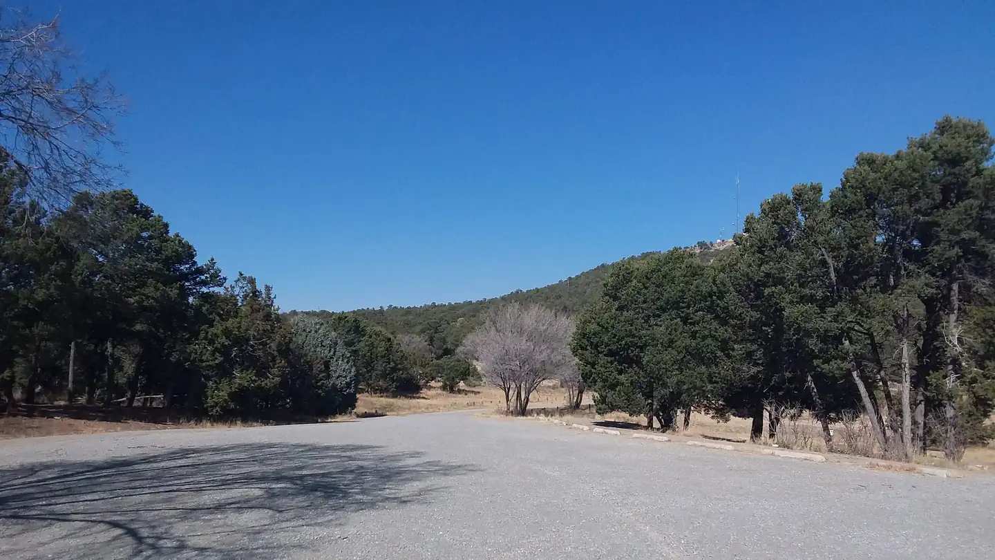 Cedro Peak Camping Sites - Robin and JayCampground · 2 sites
Overview Cedro Peak Camping Sites is a favorite area in the southern portion of the Sandia Ranger District.
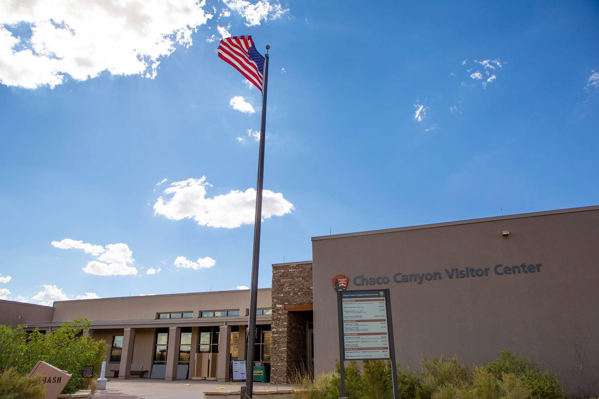 Chaco Culture National Historical Park Visitor CenterFacility · not watchable
This is Chaco Culture's only visitor center. The hours of operation are 9:00am-5:00pm every day. Please stop in before heading into the park.
- Chosa CampgroundFacility · not watchable
Chosa Campground consists of a 3.5-acre, pipe-rail fenced pad that offers a trash container and a safe parking space for your Recreational Vehicle plus a…
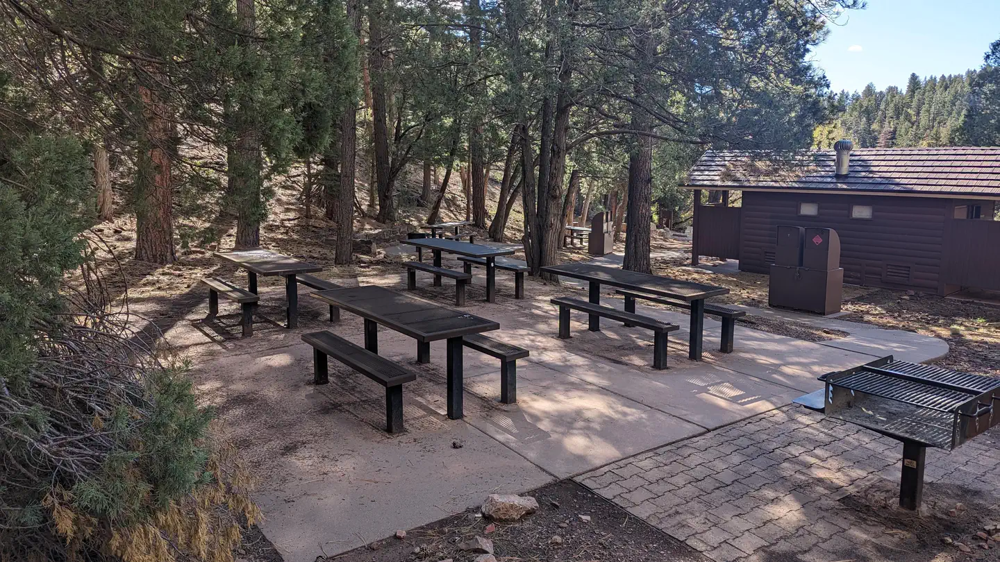 Cienega Picnic SiteCampground · 1 sites
Overview Beautiful, shady, cool and green are just a few words that recreationists have used to describe the Cienega Group Picnic site.
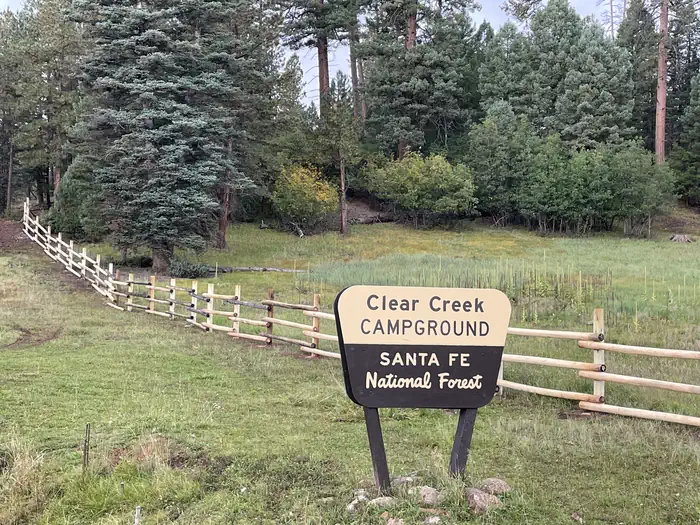
 Clear Creek Campground (NM)Campground · 12 sites
Overview Less than two hours from the city of Albuquerque, Clear Creek Campground is nestled away in the Jemez Mountains.
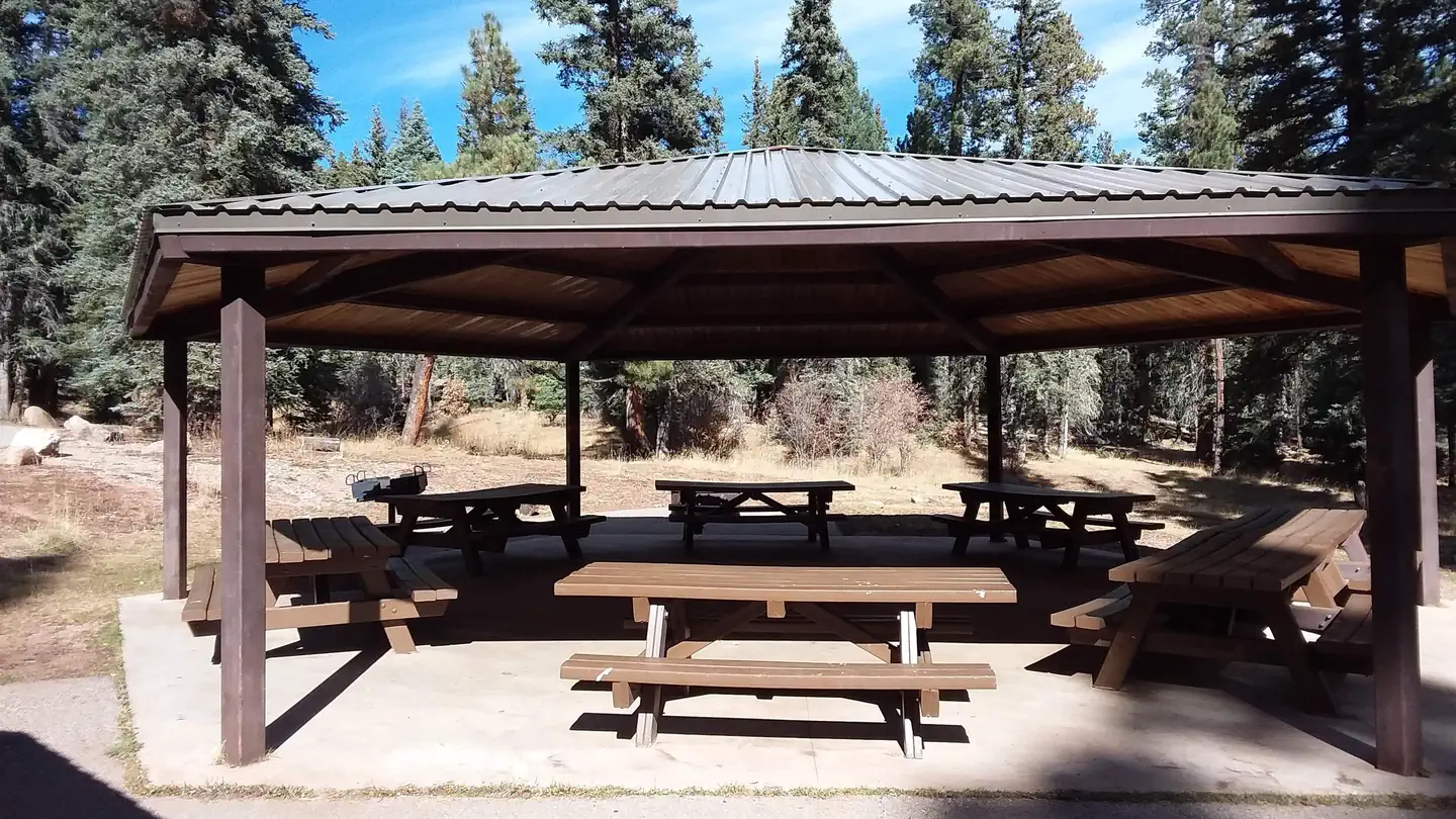
 Clear Creek Group Campground (NM)Campground · 1 sites
Overview Clear Creek Group Campground is less than a two hourdrive from the Albuquerque area, and provides relief from the New Mexico heat with the cool shade…
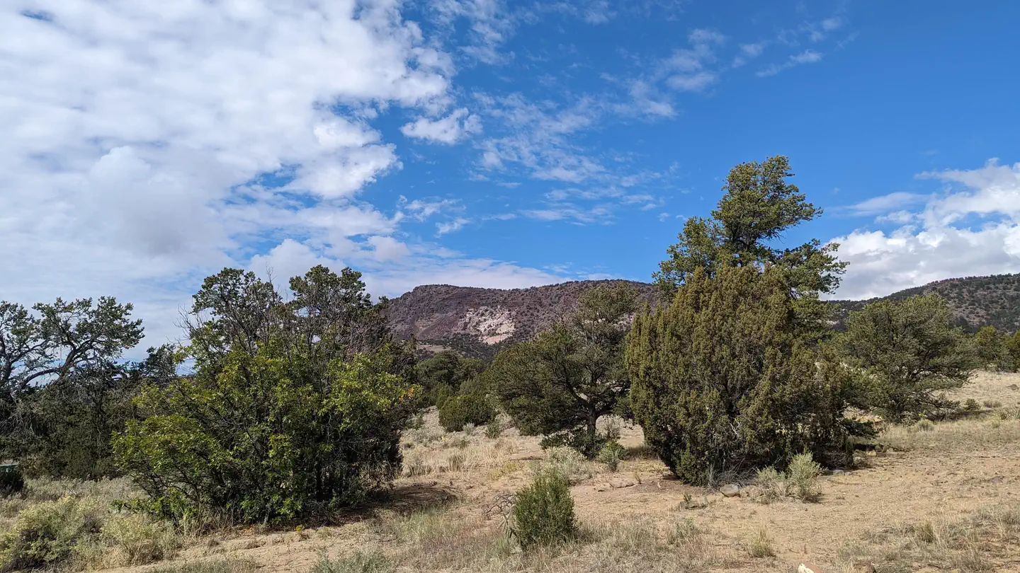 Coal MineCampground · 15 sites
Overview Coal Mine Campground is situated in the upper portion of the Cibola National Forest in west-central New Mexico.
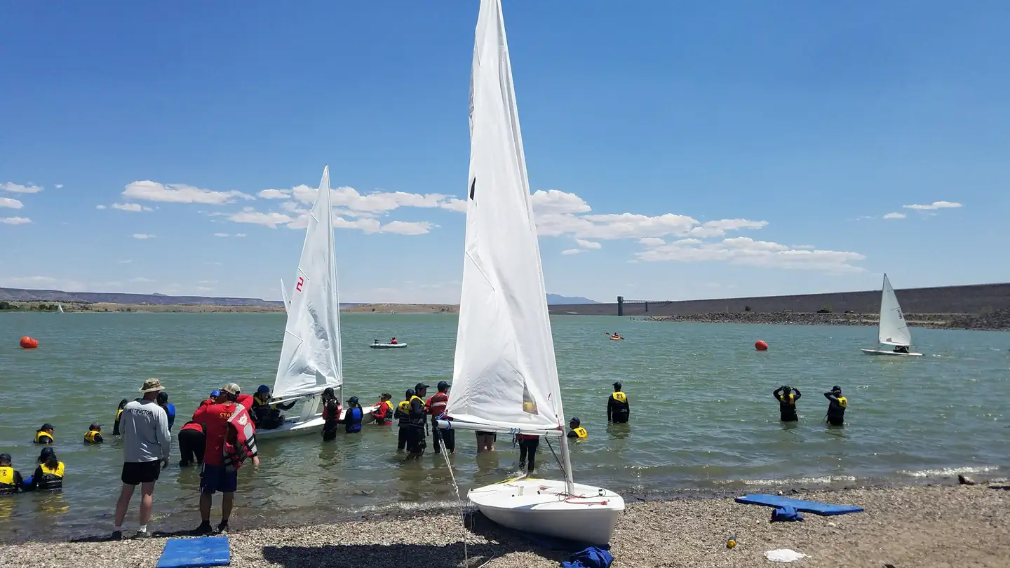 Cochiti CampgroundCampground · 80 sites
Overview Cochiti Recreation Area is located in Sandoval County, New Mexico, within the boundaries of the Pueblo de Cochiti Indian Reservation.
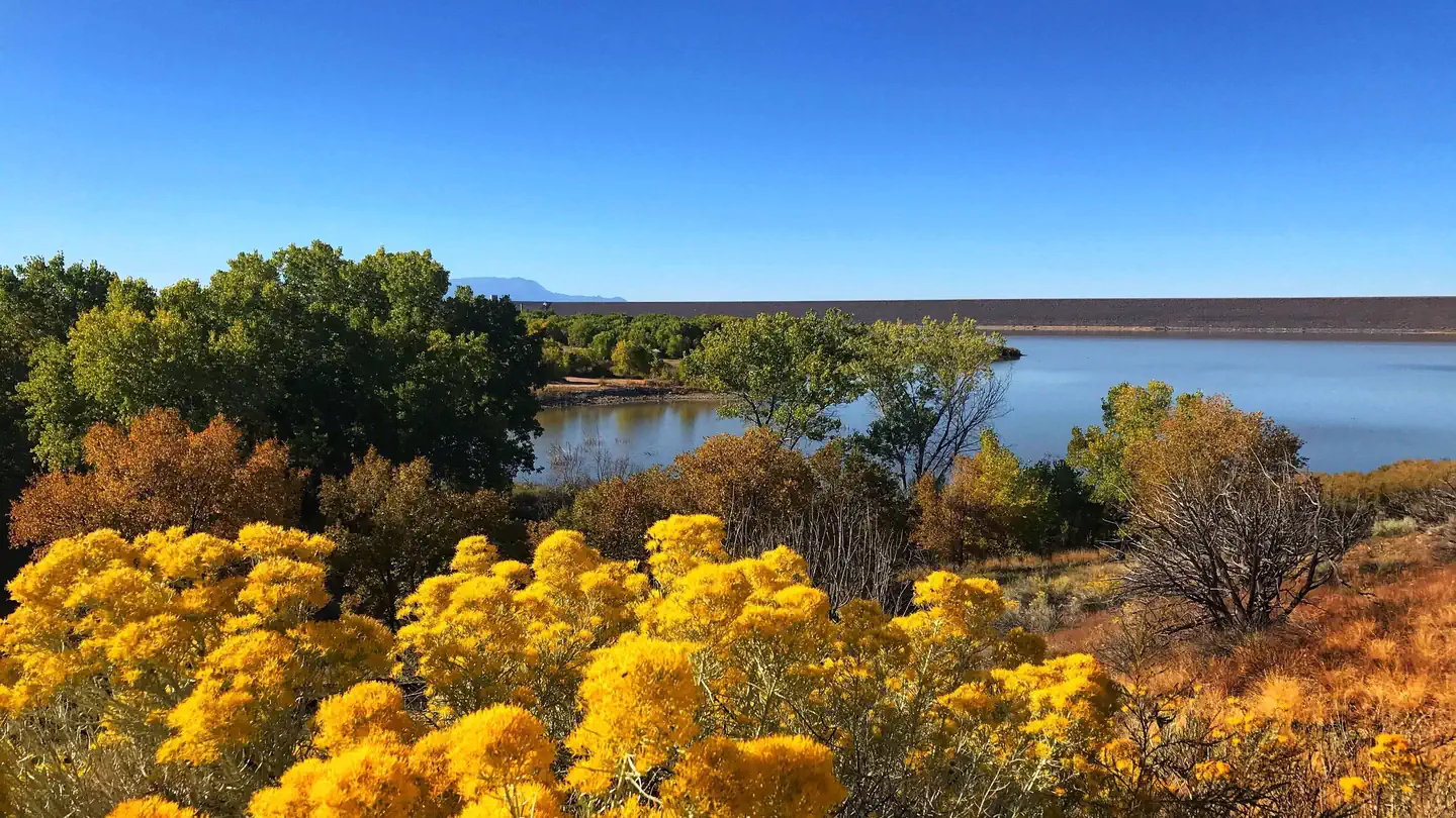 Cochiti Day Use Area TicketsTimed entry
In marked contrast to a city geared to entertainment and gaming, Red Rock Canyon National Conservation Area (RRCNCA) is known as the premier outdoor recreation…
- Coyote Ranger DistrictFacility · not watchable
The Coyote Ranger District Office is located along NM State Highway 96 approximately 21 miles from the Junction of SH 84 & SH 96. The Coyote Ranger District…
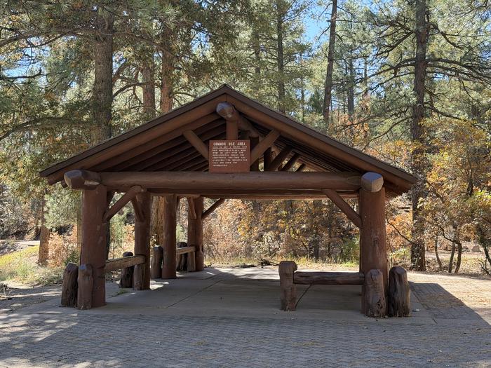 DOC LONG PICNIC SITES - A and BCampground · 2 sites
Overview Doc Long Picnic Sites are named for Dr. William Henry Long. He was one of three forest pathologists in the USA who conducted pioneering research of…
- Dark Canyon Fishing SiteFacility · not watchable
This fishing site provides access to the San Antonio River in San Diego Canyon. A restroom is available at this site.
- Dark Canyon Lookout Observation SiteFacility · not watchable
Dark Canyon, the only lookout located on the Guadalupe Ranger District, is an Aermotor MC-99 type 7’ X 7’ cab sitting on a 48 foot high steel tower.
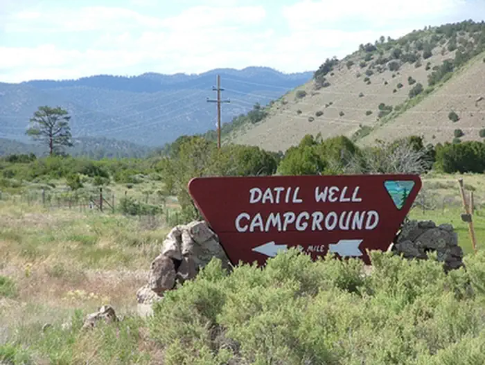 Datil Well Recreation Area CampgroundCampground · not watchable
Datil Well Recreation Area Campground includes one of 15 water wells along the old Magdalena Livestock Driveway.
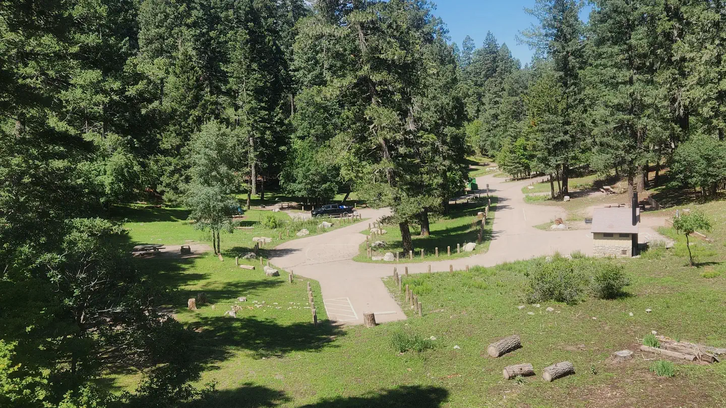 Deerhead CampgroundCampground · 19 sites
Overview Deerhead Campground is located in the Lincoln National Forest in Cloudcroft, New Mexico at an elevation of 8700 feet.
 E. E. Fogelson Visitor CenterFacility · not watchable
Begin at the Visitor Center, where you can view an excellent museum that covers the region's history, archeology, and contemporary connections.
- East Fork Trailhead #137Facility · not watchable
The East Fork Trailhead is located on NM State Highway 4, midway along the East Fork Trail (Forest Trail 137), approximately one mile east of the Jemez Falls…
- Echo Amphitheater Picnic SiteFacility · not watchable
Echo Amphitheater is a natural amphitheater located on the Carson National Forest in Rio Arriba County, in northern New Mexico.
- El Caso I-IV CampgroundCampground · not watchable
This are partially developed, shady campgrounds within hiking distance of the lake.
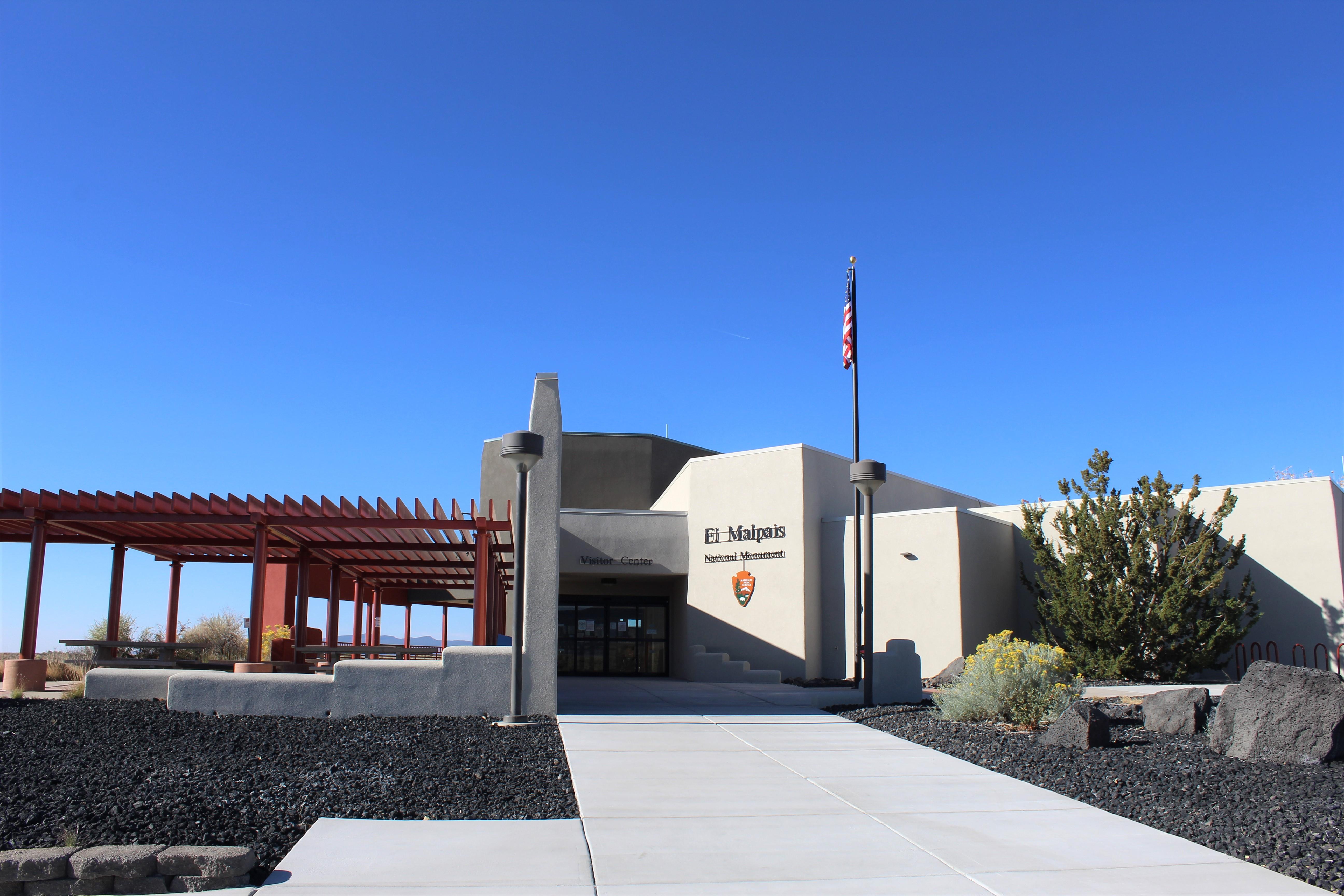 El Malpais Visitor CenterFacility · not watchable
Located on exit 85 off I-40 in Grants, NM, the El Malpais Visitor Center is staffed by park rangers from the National Park Service.
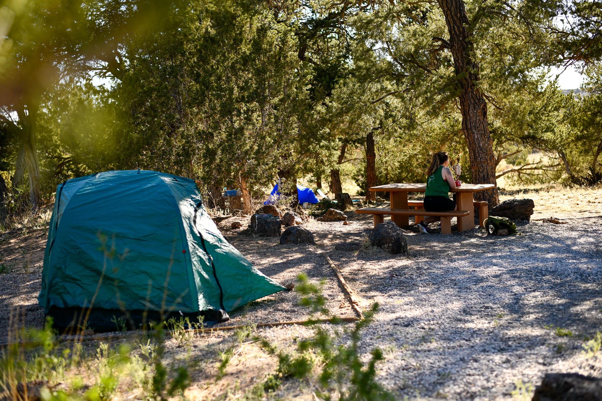 El Morro CampgroundCampground · not watchable
El Morro operates a nine-site campground 7 days/week, year-round. First come-first served.
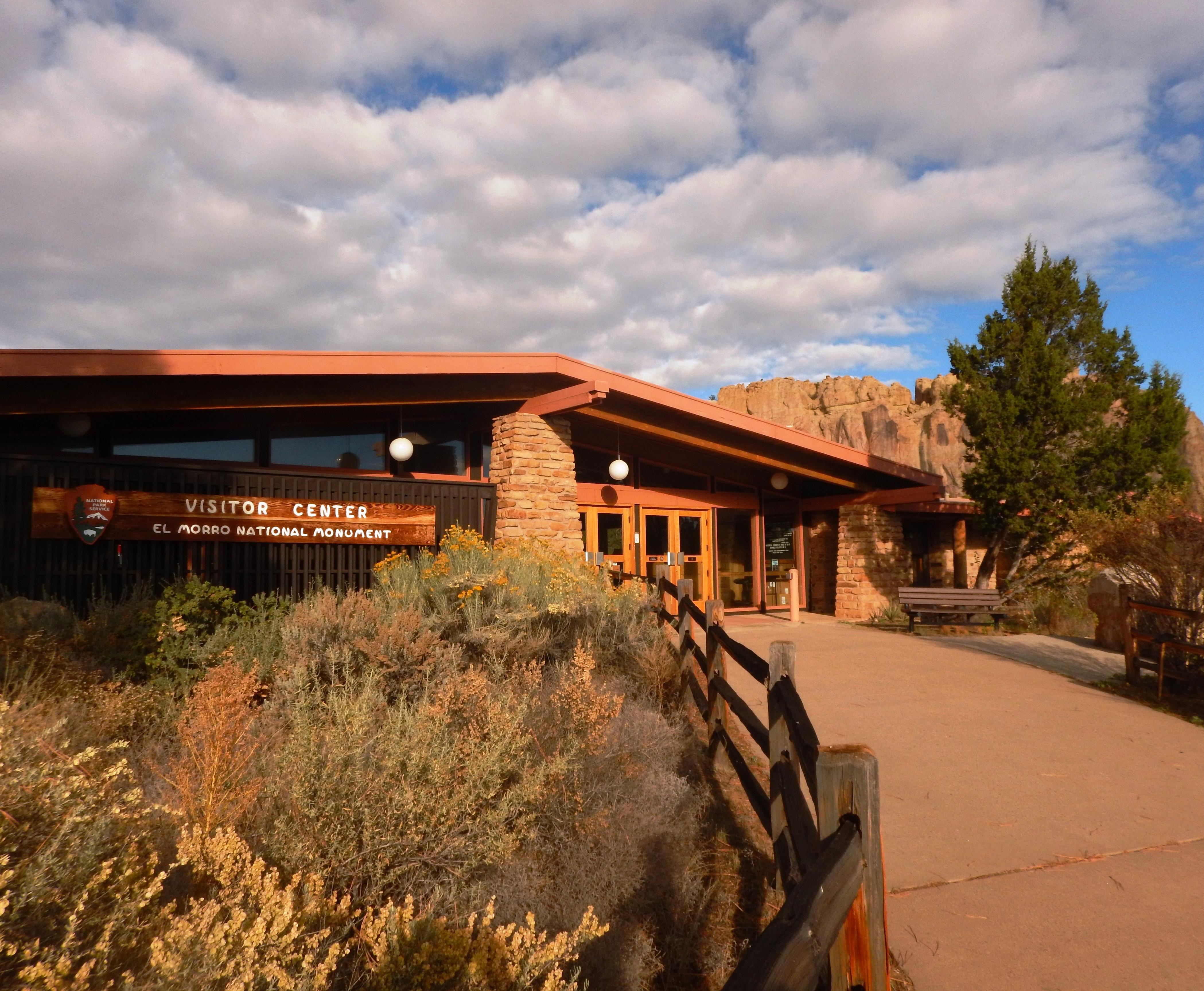 El Morro Visitor CenterFacility · not watchable
Your visit to El Morro National Monument begins here. Park rangers and volunteers are available to answer your questions and orient you to the facilities and…
- El Rito Creek FishingFacility · not watchable
The El Rito Creek can be accessed via Forest Road 559, North of the El Rito Ranger station.
- Emory Pass Observation SiteFacility · not watchable
Observation point at Emory Pass on the north side of New Mexico Highway 52, between mile markers 31 and 32. The observation site also serves as a parking…
- Espanola Ranger DistrictFacility · not watchable
Recreation opportunities within the Espanola Ranger District range from the high alpine trails in the Pecos Wilderness to the lower elevation areas in the…
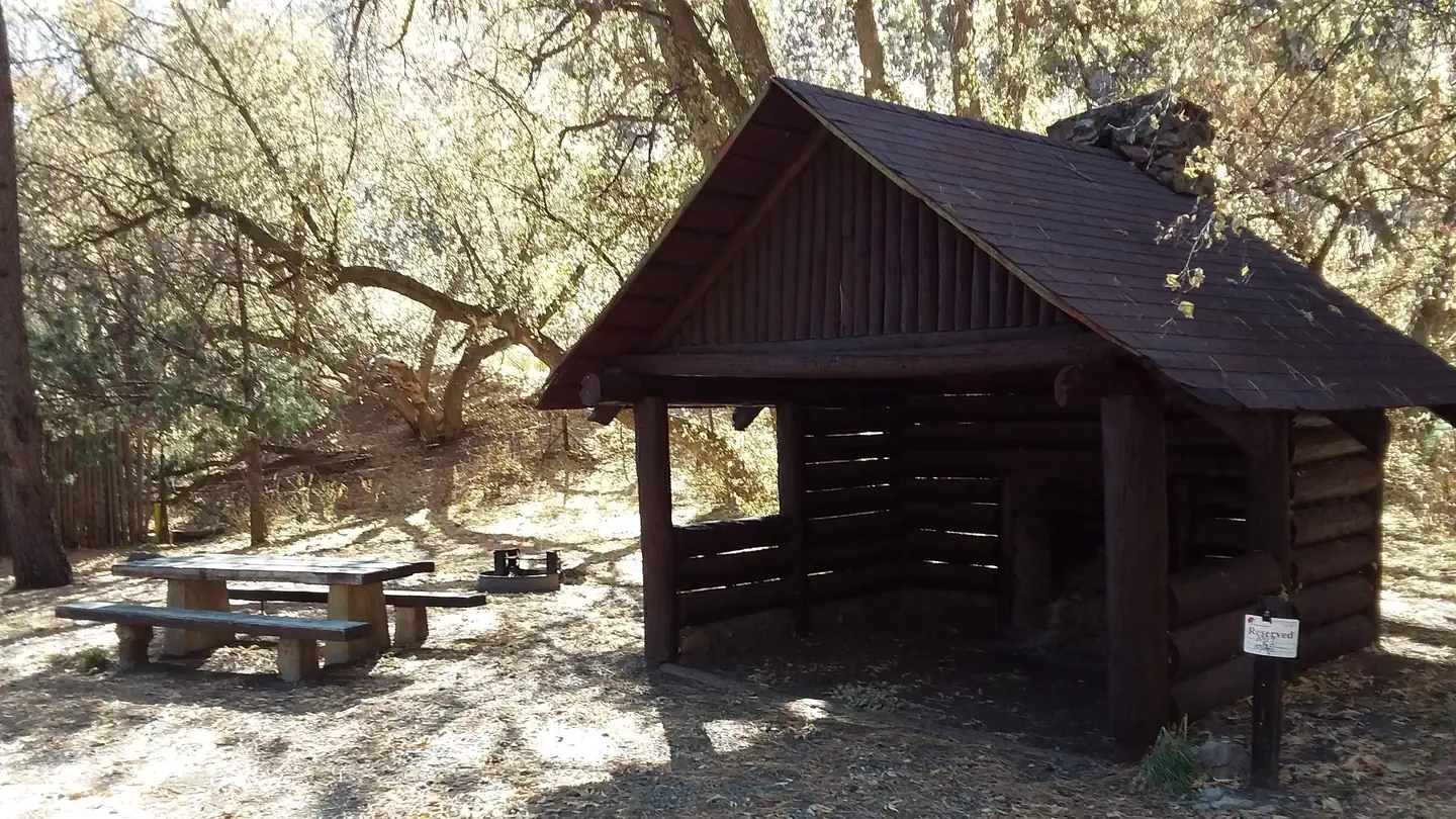 Field Tract CampgroundCampground · 15 sites
Overview Please note that Field Tract Campground is currently closed until further notice due to necessary repairs on the shelters.
- Forks CampgroundCampground · not watchable
This campground features beautiful cliffs along the West Fork of the Gila River. This campground is a great place to stop on the way to the Gila Cliff…
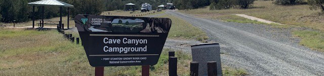 Fort Stanton Cave CampgroundFacility · not watchable
Surrounding the Fort Stanton Cave Campground is the Fort Stanton Snowy River Cave National Conservation Area (NCA).
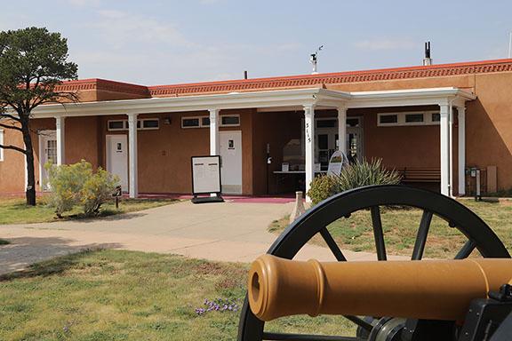 Fort Union National Monument Visitor CenterFacility · not watchable
The Visitor Center is currently open 8 a.m. to 4 p.m. Handicapped parking spaces for standard sized vehicles are available in the Visitor Center parking area.
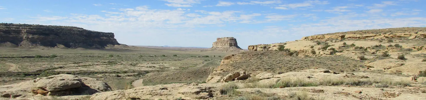 Gallo CampgroundCampground · 28 sites
Overview Gallo Campground is located within Chaco Culture National Historical Park.
- Gila CenterFacility · not watchable
Interagency visitor center managed by the National Park Service and Gila National Forest providing information regarding the Cliff Dwellings National Monument…
- Gold Dust #41 TrailheadFacility · not watchable
Trailhead for Gold Dust - Trail #41. Hwy 180 to Bursum Road (NM Hwy 159). There is a trail sign on your left and a pull-out at the trailhead on the right.
- Gomez Peak Large Group AreaFacility · not watchable
For reservations, please contact the Silver City RD in person at 3005 E Camino del Bosque.
- Gomez Peak TrailheadFacility · not watchable
Trailhead providing access to the Gomez Peak Trail System is a popular non-motorized use area for hikers or mountain bikers as a day use site.
- Guadalupe RDFacility · not watchable
The Guadalupe Ranger District offers many recreation opportunities for you to enjoy.
- Haynes Canyon Vista Observation SiteFacility · not watchable
Located along the Sunspot Scenic By-way (NM6563) just about 1mile south of the beginning of the road, this Vista (view) offers stunning views of Hayne's Canyon…
 Holy Ghost Group AreaCampground · 1 sites
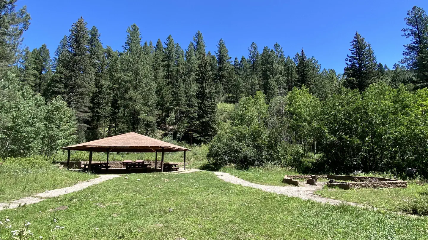
Overview Holy Ghost Campground is tucked away in the Santa Fe National Forest, on the cusp of the breathtaking Pecos Wilderness in Holy Ghost Canyon.
- Holy Ghost TrailheadFacility · not watchable
Uses: hiking, backpacking, fishing. Facilities: vauled toilet at Holy Ghost Campground, parking, and information kiosk.
- Iron Creek CampgroundCampground · not watchable
Iron Creek Campground is easily accessible for campers and provides good facilities Located in the Black Range Mountains off NM State Highway 152, starting at…
- Iron Gate TrailheadFacility · not watchable
Update April 25, 2016: Potable water is unavailable at this and all other campgrounds on the Pecos/Las Vegas Ranger District.
 Jacks Creek Group AreaCampground · 2 sites
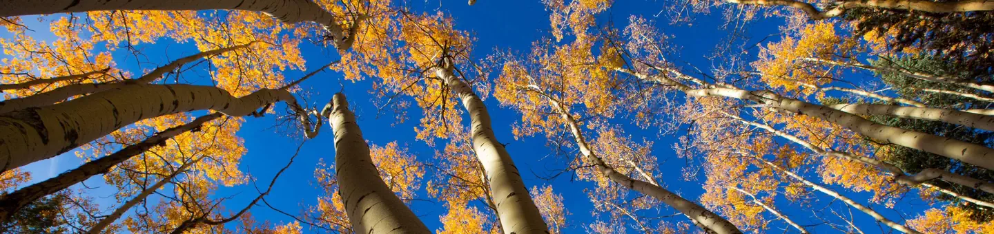
Overview Jack's Creek Group Area is a picturesque, high-elevation campground situated just 50 miles from Santa Fe.
- Jacks Creek Horse CampFacility · not watchable
Beautifully located among aspens and mixied conifer, you will definitely get the mountain experience at Jack's Creek. Uses: camping, hiking, horseback riding.
- Jacks Creek TrailheadFacility · not watchable
The Jacks Creek Trailhead is located 21 miles on NM 63. Uses: Trailhead parking and access for hiking, backpacking, horseback riding.
- James Ridge LookoutFacility · not watchable
Located on the Sacramento Ranger District, James Ridge Lookout (formerly Mayhill Lookout), is a 7’ X 7’ steel cab sitting on a 62 foot high steel tower.
 Jemez Falls (NM) Picnic AreaCampground · 1 sites
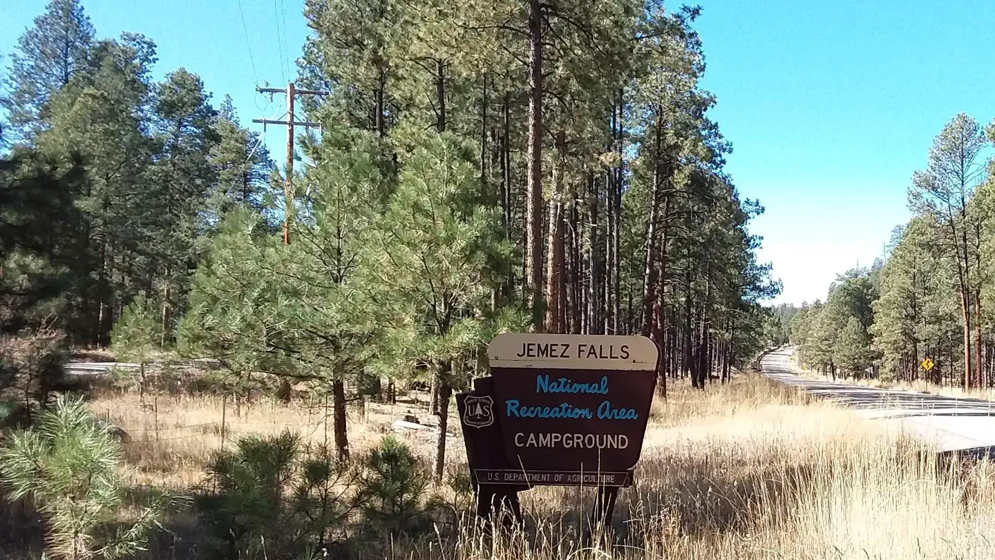
Overview Jemez Falls Picnic Area is great place to spend the day, especially when planning a day hike to nearby Jemez Falls on the Jemez District of the Santa…
 Jemez Falls CampgroundCampground · 50 sites
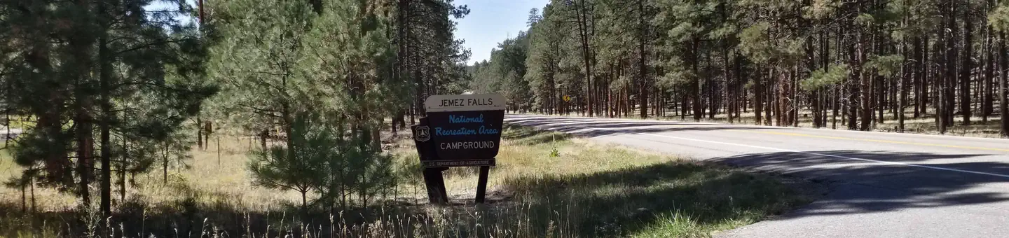
Overview Jemez Falls Campground is located in a stunning Ponderosa Pine and forest meadow environment. The campground elevation is 7,880 feet above sea level.
- Jemez Falls Group Picnic SiteFacility · not watchable
Popular for weddings and extended family reunions, the group use site is located in a stunning Ponderosa Pine and forest meadow environment, adjacent to the…
- Jemez Falls TrailheadFacility · not watchable
The Jemez Falls Trailhead is located adjacent to the Jemez Falls Group Area. To get to the trailhead use the Jemez Falls Camground turnoff and follow the road…
- Junebug CampgroundCampground · not watchable
Recently refurbished roadside campground sits near historic Red River mining area and downhill ski resort. Can be very crowded during summer weekends.
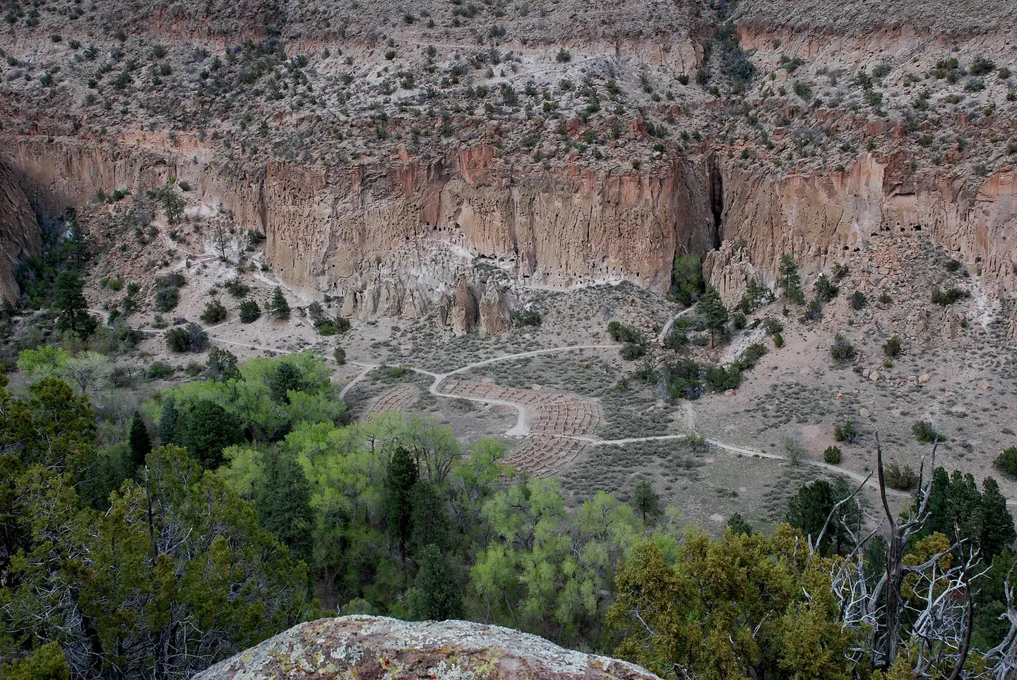 Juniper Campground (NM)Campground · 50 sites
Overview Juniper Family Campground is the ideal place to camp on the Pajarito Plateau.
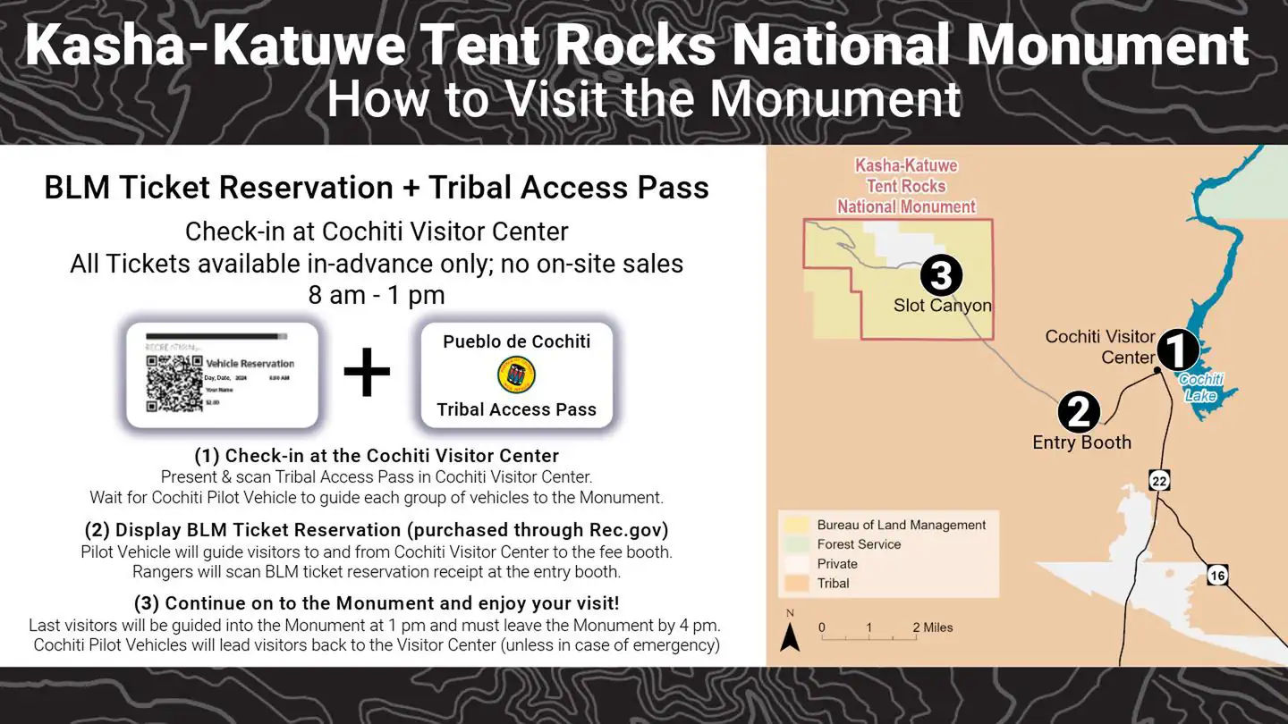 Kasha Katuwe Tent Rocks National Monument Ticketed EntryTickets
Kasha-Katuwe Tent Rocks National Monument remains closed. The Bureau of Land Management (BLM) would like to thank the public for their continued patience with…
- La Cueva Picnic SiteFacility · not watchable
Located along the San Antonio River in the community of La Cueva, this popular picnicking and fishing site is a favorite with families and fishermen.
- La Junta Fishing SiteFacility · not watchable
ALERT: This fishing access is closed due to resource amenity constraints. Please call the Jemez Ranger District (Ph: 575.829.3535) for current conditions.
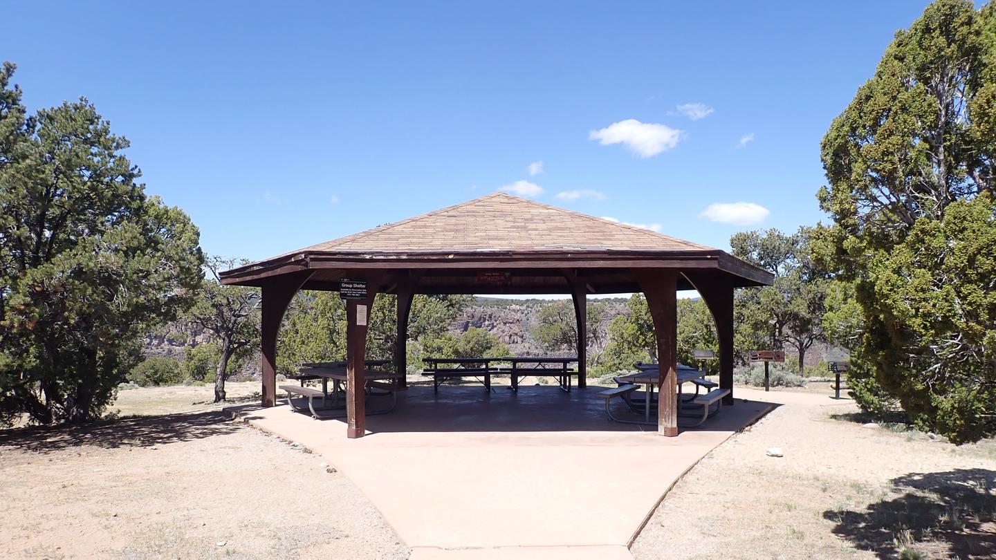 La Junta Group ShelterCampground · 1 sites
Overview La Junta Group Shelter is located at the La Junta Overlook, looking down on the joining of the Rio Grande and the Red River.
- Las Casitas Fishing SiteFacility · not watchable
ALERT: This fishing access is closed due to resource amenity constraints. Please call the Jemez Ranger District (Ph: 575.829.3535) for current conditions.
- Las Conchas Day Use SiteFacility · not watchable
Located adjacent to the East Fork Jemez River the Las Conchas Day Use Site offers fishing access and picnic facilities.
- Las Conchas TrailheadFacility · not watchable
Located on NM State Highway 4 appoximately 3/4 mile south of the Las Conchas Picnic Area, the Las Conchas Trailhead provides access to the eastern most…
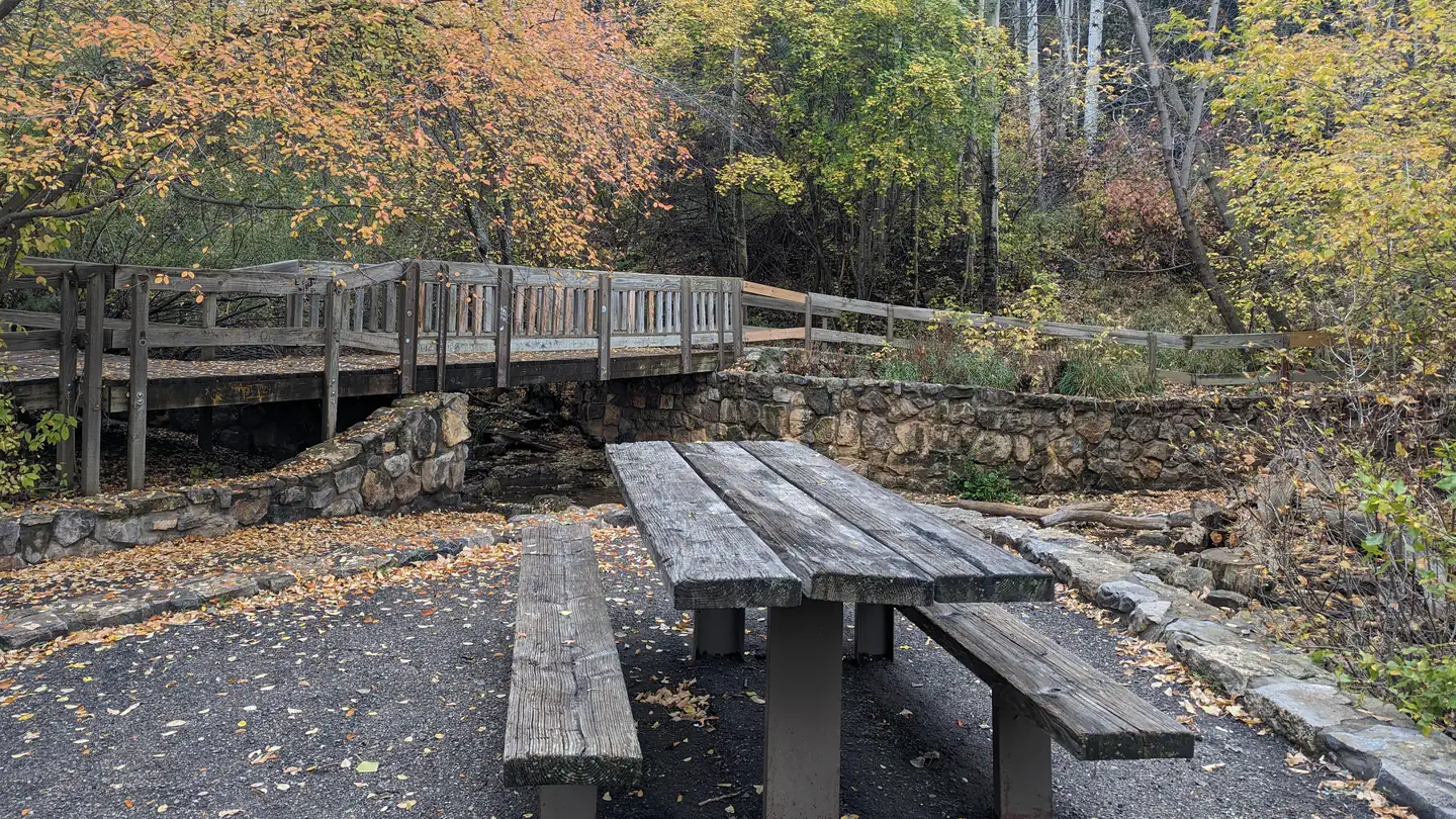 Las Huertas Picnic SiteCampground · 1 sites
Overview Las Huertas was built by the Civilian Conservation Corps. It is located at the northeast end of the Sandia Ranger District.
- Links Tract CampgroundCampground · not watchable
Primitive dispersed camping, 16 miles north of Pecos on NM 63, then 1 mile on FR 646. Uses: Camping. Facilities: Pit toilet, tables, and few fire pits.
- Little Walnut East Group AreaFacility · not watchable
Please NOTE: Water is not currently available at the group or family picnic areas at Little Walnut.
- Little Walnut Individual Picnic AreaFacility · not watchable
Please NOTE: Water is not available at the group or family picnic areas at Little Walnut.
- Little Walnut West Group AreaFacility · not watchable
Please NOTE: Water is not available at the group or family picnic areas at Little Walnut.
- Little Walnut-Gomez Peak Day Use AreaFacility · not watchable
Located just outside Silver City, the Little Walnut-Gomez Peak picnic grounds provide a pleasant day use area for small or large groups and…
- Lost CaveFacility · not watchable
Lost Cave is a limestone cave near the city of Carlsbad. It was the site of an isolation study in 1989 and contains two main rooms, filled with breakdown, and…
- Lower Dalton Picnic SiteFacility · not watchable
Located 6 miles north of Pecos on NM 63. Uses: Picnicking, fishing. Facilities: 6 units, tables, grills and fire pits, 16 parking spaces, vaulted toilet.
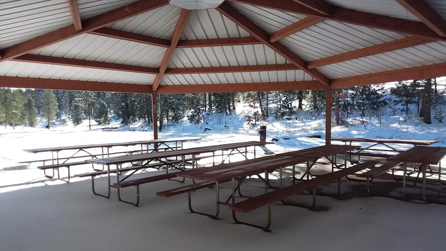 Lower Fir Group AreaCampground · 1 sites
Overview Lower Fir Group Area is a high-energy and highly popular group campground in the Sacramento Mountain area.
- Mayhill LookoutFacility · not watchable
The Mayhill Lookout was moved in 1967 to James Ridge, and is now known as the James Ridge Lookout.
- McCrystal CampgroundCampground · not watchable
These 55 sites in Valle Vidal elk/bear country are a great hunting, hiking, fishing destination.
- Monjeau LookoutFacility · not watchable
Monjeau Lookout is a famous landmark on the Smokey Bear Ranger District built originally in 1936 and then reconstructed in 1940 as part of a Civilian…
- Mora National Fish Hatchery and Technology CenterFacility · not watchable
Mora National Fish Hatchery was created in 1994 and was operational by 1998. Mora National Fish Hatchery is dedicated to the restoration and recovery of the…
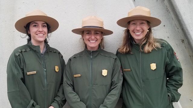 National Trails Office Regions 6, 7, & 8Visitor Center · not watchable
The National Trails Office Regions 6, 7, & 8 administers the Butterfield Overland National Historic Trail and is located at the Old Santa Fe Trail Building in…
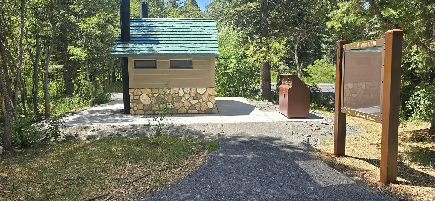 Nine Mile Picnic SiteCampground · 1 sites
Overview Situated along the Sandia Crest Scenic Byway 536, at a cool 9,200 ft of elevation, is the large and often shaded Nine Mile Picnic Ground.
- Oak Flats Picnic SiteFacility · not watchable
15 miles from historic Las Vegas on NM 65 and FR 263. Uses: Picnicking, fishing. Facilities: 7 picnicking units, vaulted toilets, tables and fire pits.
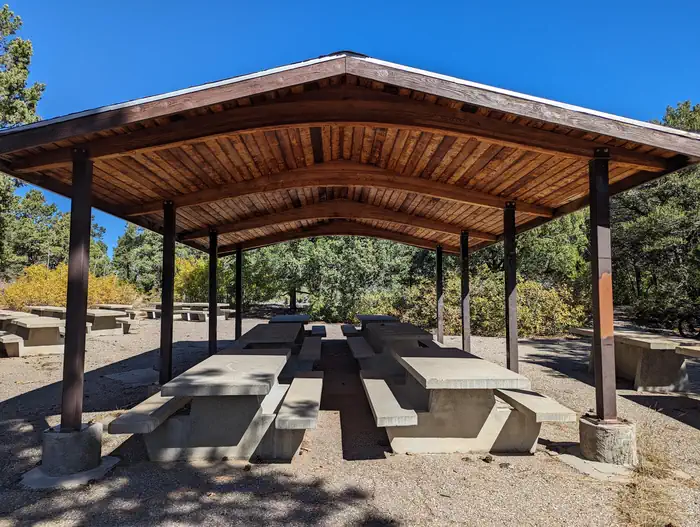 Oak Yucca and Locust Group Picnic SitesCampground · 3 sites
Overview The Oak Flat Group picnic site includes a combination of three different picnic sites and a trailhead, that border four communal playing fields…
- Ojo Redondo CampgroundFacility · not watchable
This campground is located southwest of Mt. Sedgwick, the highest peak in the Zuni Mountains. It is situated in ponderosa pine, douglas fir, and aspen trees,…
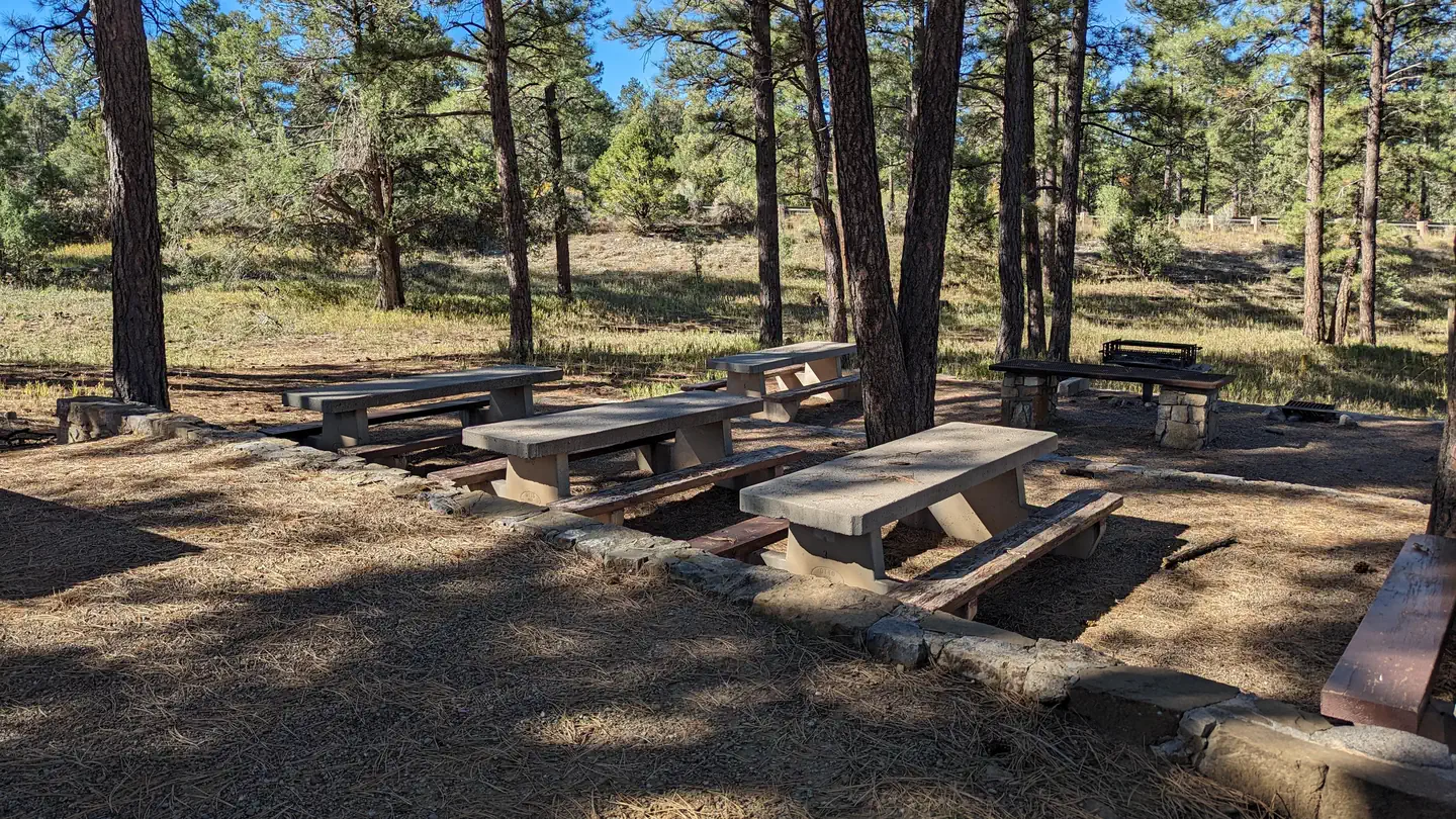 PINE FLAT PICNIC SITES - A and BCampground · 2 sites
Overview Pine Flat picnic sites A & B are accessible picnic areas. They are located on State Highway 337 (James McGrane Memorial Highway or Old South 14)…
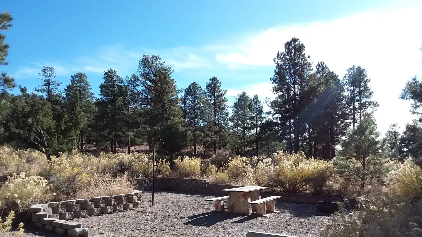 PalizaCampground · 30 sites
Overview Paliza Campground sits beneath sandstone cliffs on the Jemez Ranger District of the Santa Fe National Forest.
- Panchuela TrailheadFacility · not watchable
Panchuela Trailhead is located at the end of Forest Road 305 accessed by NM 63 approximately 22 miles north of Pecos.
- Parks Ranch CaveFacility · not watchable
A gypsum cave with over four miles of mapped passage and twenty different entrances, it is the longest gypsum cave on public land in the United States.
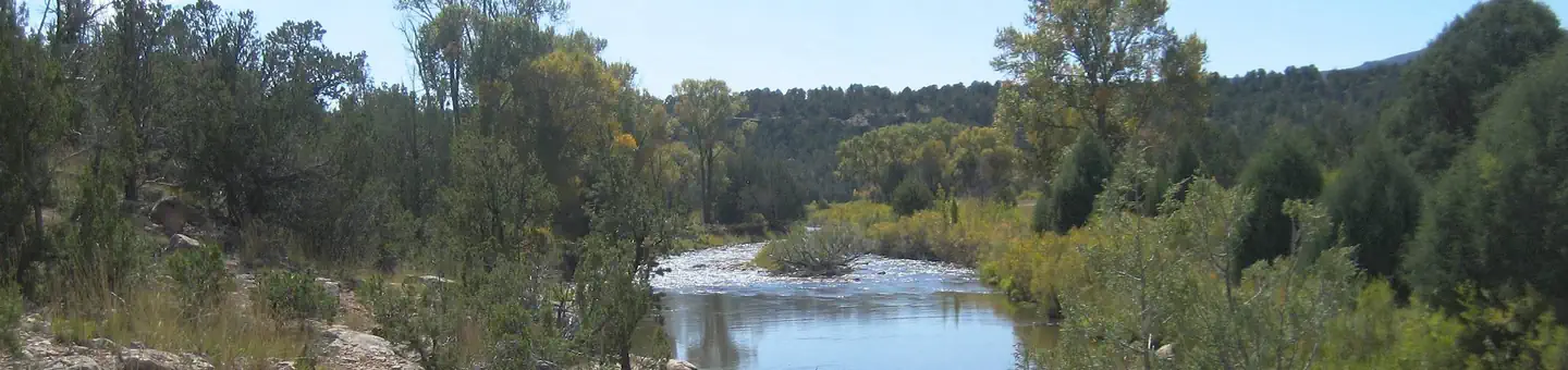 Pecos National Historical Park Fishing ReservationsTickets
Overview: In the midst of pinon, juniper, and ponderosa pine woodlands of the Sangre de Cristo Mountains not far from Santa Fe, the remains of Indian pueblos…
- Penas Negras #32Facility · not watchable
The elevation at the trailhead is about 9,300 ft. The trail has a gradual slope throughout and is the longest trail in the Cuba Ranger District. Destination…
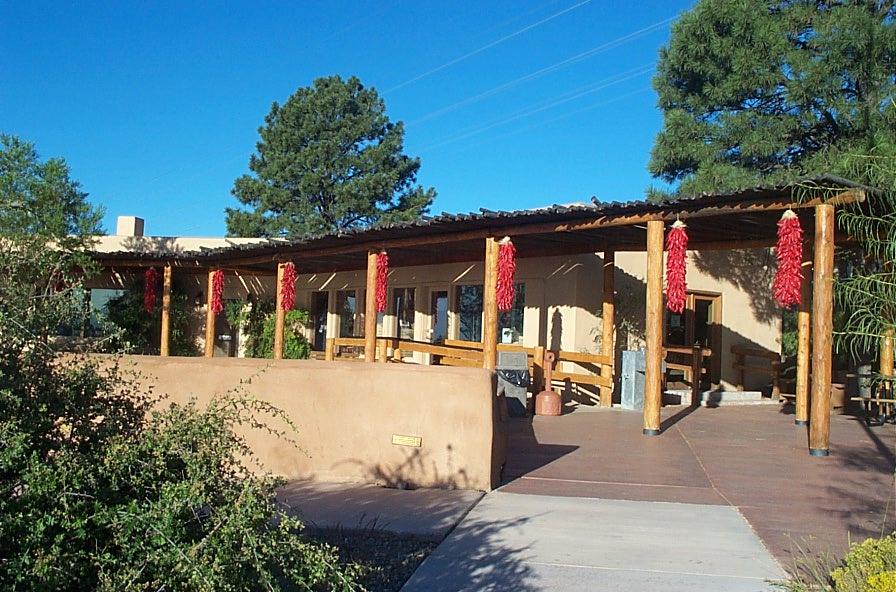 Petroglyph Information CenterFacility · not watchable
Park information only. There are no hiking trails at the visitor information center. The Information Center is open 8:30 am to 4:30 pm daily.
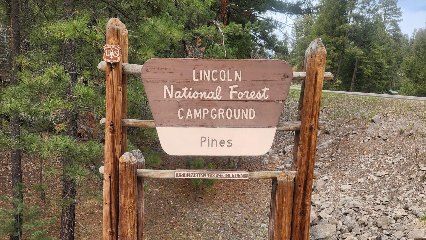 Pines CampgroundCampground · 23 sites
Overview Pines Campground is located in the Lincoln National Forest in Cloudcroft, New Mexico at an elevation of 8700 feet.
- Piñon CampgroundCampground · not watchable
This is a nice, quiet and clean campground nestled among piñon and juniper trees. The camp sites are nestled among mature piñon and juniper trees.
- Po-shu-oinge' Interpretive Site (minor)Facility · not watchable
Po-shu-oinge' interpretive site is near the turn off to Abiquiu. A short trail takes the visitor above the valley to look over a cultural site where the…
- Point of RocksFacility · not watchable
The large basalt outcropping known as Point of Rocks is among the landmarks that travelers depended on to keep their bearings as they made their way through…
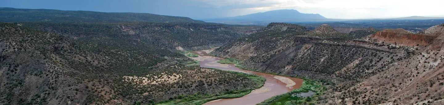 Ponderosa Group Campground (NM)Campground · 2 sites
Overview Ponderosa Group Campground is located 6 miles (9.7 km) from the park's main entrance and is an ideal place to stay for large groups visiting Bandelier…
- Pretty Canyon #121 TrailheadFacility · not watchable
Trailhead for Pretty Canyon Trail #121. This trailhead is a small pullout parking spot along Forest Road 152 (McKnight Rd.) across from the start of the…
- Quemado Lake Recreation AreaFacility · not watchable
Quemado Lake is located 16 miles south of Quemado, NM. From Quemado, take NM 32 south 14.2 miles to the Quemado Lake/NM 103 sign.
- Red Bluff ReservoirFacility · not watchable
Right on the Texas Border, the Red Bluff Reservoir provides access to the Pecos River and boat access to the reservoir created by the Red Bluff Dam.
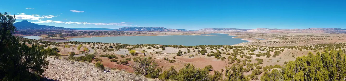 Riana - Abiquiu LakeCampground · 59 sites
Overview Riana Campground is located on a 150 ft. bluff overlooking the scenic Abiquiu Lake in northern New Mexico, just one hour northwest of charming Santa…
- Rincon Fishing SiteFacility · not watchable
The Rincon Fishing Site offers parking and access to the San Antonio River. Located on NM HWY 4 approximately six miles north of Jemez Springs. Uses: Fishing.
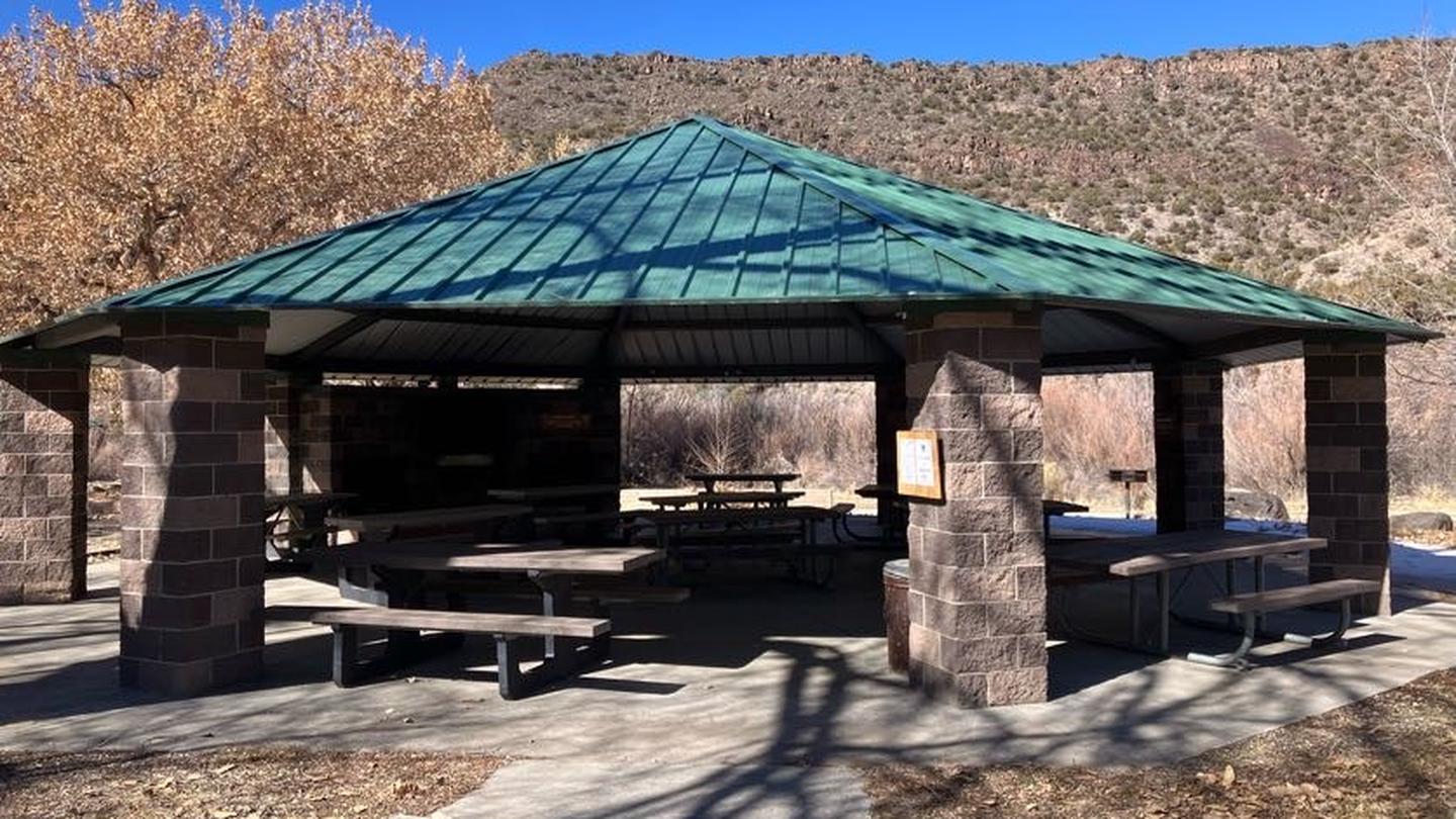 Rio Bravo Group ShelterCampground · 1 sites
Overview Rio Bravo Group Shelter is located in the Orilla Verde Recreation Area of Rio Grande del Norte National Monument.
- Rio Chama FishingFacility · not watchable
An excellent fishing stream that consistently produces trophy size brown trout. Access at El Vado lake and near Ghost Ranch.
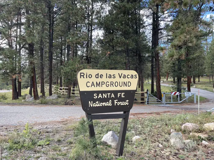 Rio De Las Vacas CampgroundCampground · 15 sites
Overview Less than two hours from the city of Albuquerque, Rio de las Vacas Campground offers a cool oasis from the New Mexico heat.
- Rio Grande FishingFacility · not watchable
Trails lead down the side of 800 ft. gorge from Cebolla Mesa Campground and from the Bureau of Land Management Wild River recreation area.
- River's Bend Fishing SiteFacility · not watchable
The River's Bend Fishing Site offers parking and access to the Lower Jemez River. Located on NM HWY 4 approximately seven miles south of Jemez Springs.
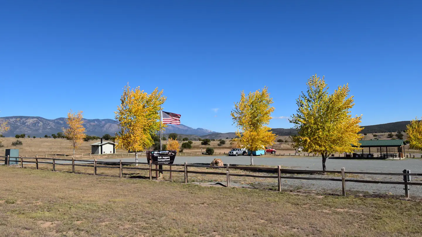 Rob Jagger's CampgroundCampground · 28 sites
Overview Rob Jaggers Camping Area: This site consists of 2 large day use parking areas, 2 vault toilets, and facilities for staging horseback riding.
- Rocky Point CDNST TrailheadFacility · not watchable
Trailhead located along Forest Road 150 (North Star Rd.) roughly 2.5 miles north of Rocky Canyon Campground to access the Continental Divide National Scenic…
- Ruidoso LookoutFacility · not watchable
This lookout, a 30 foot high steel tower with a wooden cab 14 feet square, is an Aermotor MI-25 type.
- Sacramento LookoutFacility · not watchable
Sacramento Lookout, a CL-100 series built in 1968 for the US Forest Service, is located on the Sacramento Ranger District.
- Sacramento RDFacility · not watchable
The Sacramento Ranger District offers many different recreation opportunities for all seasons.
 Salt Creek WildernessFacility · not watchable
The Salt Creek Wilderness now contains a total of 9,621 acres and is managed by the Fish & Wildlife Service's Bitter Lake National Wildlife Refuge.
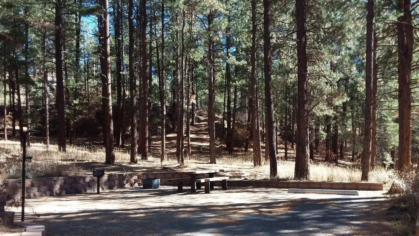 San Antonio CampgroundCampground · 30 sites
Overview San Antonio Campground is adjacent to the San Antonio River, tucked into a forest of ponderosa pine at 7,600 feet above sea level.
- San Diego Canyon Overlook Overlook SiteFacility · not watchable
San Diego Overlook Site offers magnificant views of San Diego Canyon. Located on Jemez Mountain Trail National Scenic Byway(NM HWY 4), the site provides…
- San Diego Fishing SiteFacility · not watchable
ALERT: This fishing access is closed due to resource amenity constraints. Please call the Jemez Ranger District (Ph: 575.829.3535) for current conditions.
- Seven Springs Picnic SiteFacility · not watchable
Seven Springs Picnic Area is located in proximity to the State Fish Hatchery at Seven Springs.
- Sheep Corral #231 TrailheadFacility · not watchable
Trailhead for access to Sheep Corral Canyon - Trail #231, heading north towards the Gila River and Wilderness, and Tadpole Ridge - Trail #232, heading south…
- Signal Peak #742 TrailheadFacility · not watchable
Trailhead on the west side of New Mexico Highway 15, between mile markers 14 and 15, for Signal Peak Trail #742 (across the road from the trailhead) and for…
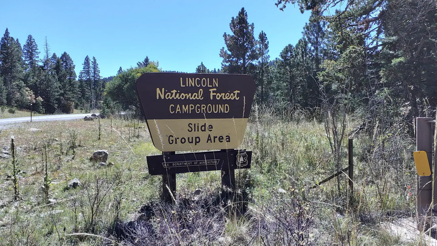 Slide Group AreaCampground · 1 sites
Overview Just two miles from the village of Cloudcroft is this idyllic campground accommodating groups up to 90 visitors.
- Smokey Bear RDFacility · not watchable
The Smokey Bear Ranger District offers many different recreation opportunities for all seasons.
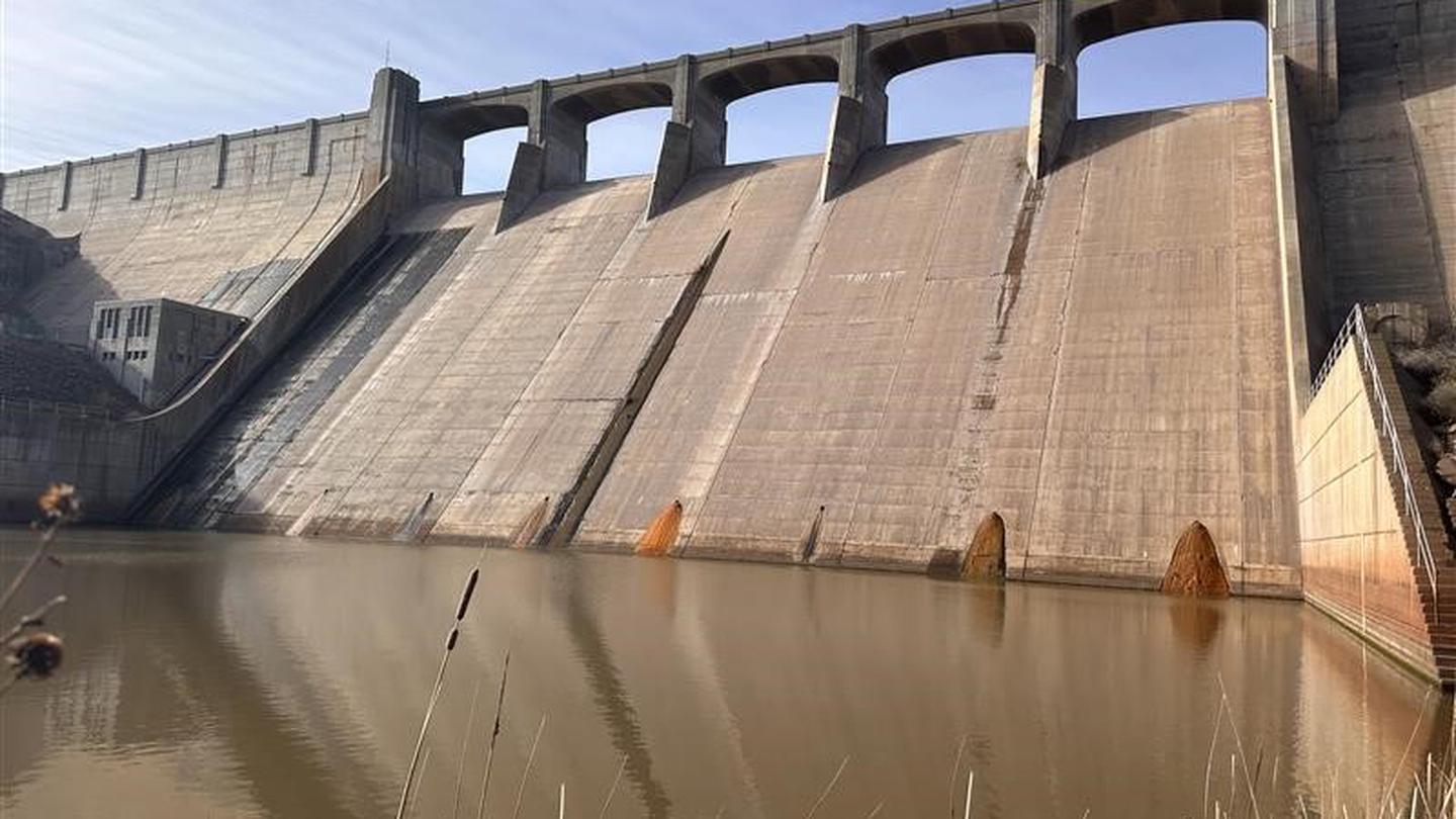 South Area CampgroundCampground · 20 sites
Overview The U.S. Army Corps of Engineers invites you to explore and enjoy the many recreational opportunities that Conchas Lake has to offer.
- South Diamond #68 TrailheadFacility · not watchable
Trailhead for South Diamond Trail #68 and access to the western portion of the Aldo Leopold Wilderness. 12 miles of the trail was logged summer 2017.
- Southwestern Native Aquatic Resources & Recovery CenterFacility · not watchable
The Southwestern Native Aquatic Resources & Recovery Center (formerly the Dexter National Fish Hatchery & Technology Center) is located in the heart of the…
- Spanish Queen Picnic SiteFacility · not watchable
This popular picnic area is located in the scenic San Diego Canyon, with spectacular red rock canyon and mesa views.
- Spence Hot Spring TrailheadFacility · not watchable
Spence Hot Spring is reached from a short hike from the parking area. Located five (5) miles north of Jemez Ranger District Office.
- Sunset Reef CampgroundFacility · not watchable
Sunset Reef Campground is a reclaimed well pad with 11 developed campsites; five RV spaces and six tent sites.
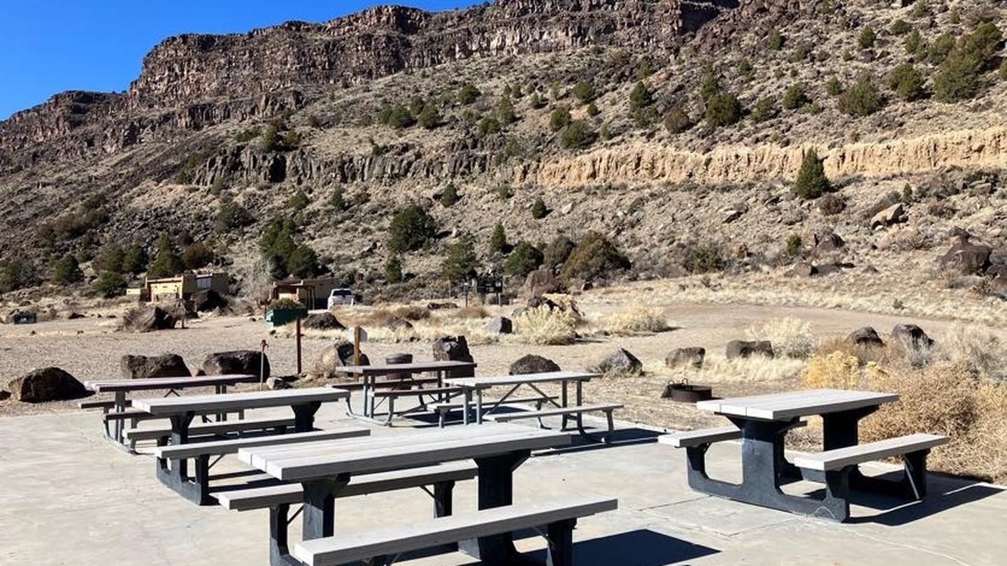 Taos Junction Group ShelterCampground · 1 sites
Overview Taos Junction group area is located in the Orilla Verde Recreation Area of Rio Grande del Norte National Monument.
- Taos Ski ValleyFacility · not watchable
Taos Ski Valley Phone: (575) 776-2291 P.O. Box 90, Taos Ski Valley, NM 87525 Snow Report: (575) 776-2916 (updated daily) Open: 9 am-4 pm Peak Elevation:…
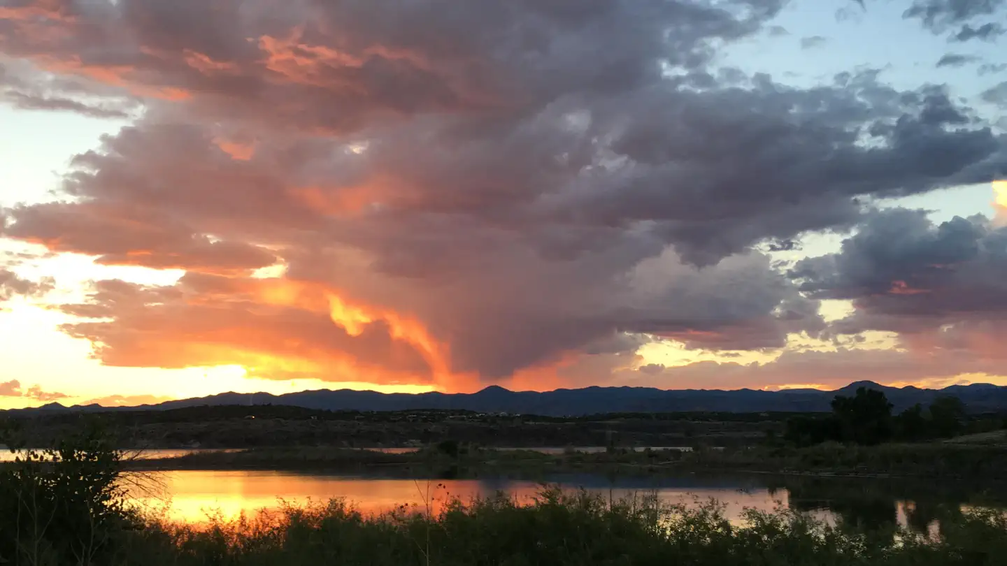 Tetilla PeakCampground · 45 sites
Overview Tetilla Peak Recreation Area is located in Sandoval County, New Mexico, within the boundaries of the Pueblo de Cochiti Indian Reservation.
 The Hubbard Museum of the American WestFacility · not watchable
R.D. and Joan Dale Hubbard founded the Hubbard Museum of the American West in 1992. It has grown from its original incredible collection of Anne C.
- Tom Moore #708 TrailheadFacility · not watchable
Trailhead for Tom Moore Trail #708. Six (6) miles of this trail, from FR 150 to the junction with Trail #716 and #713, was logged summer 2017.
- Trestle Vista Observation Site - southFacility · not watchable
From 1899-1947, the steam engines of old used to climb the railroad line from Alamogordo to Cloudcroft and beyond.
- Turkey Run #42 TrailheadFacility · not watchable
Trailhead for Caledonia Trail #42 and access to the northern portion of the Aldo Leopold Wilderness. .75 miles of this trail was logged in the summer of 2017.
 Upper Fir Group AreaCampground · 1 sites
Overview Upper Fir Group Area is one of the most popular campsites in the Sacramento Mountain area.
 Valley of Fires Recreation AreaCampground · 27 sites
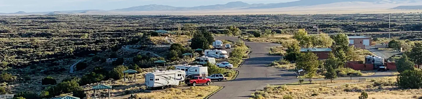
Overview Valley of Fires recreation area is located immediately adjacent to the Malpais Lava Flow.
 Visitor CenterFacility · not watchable
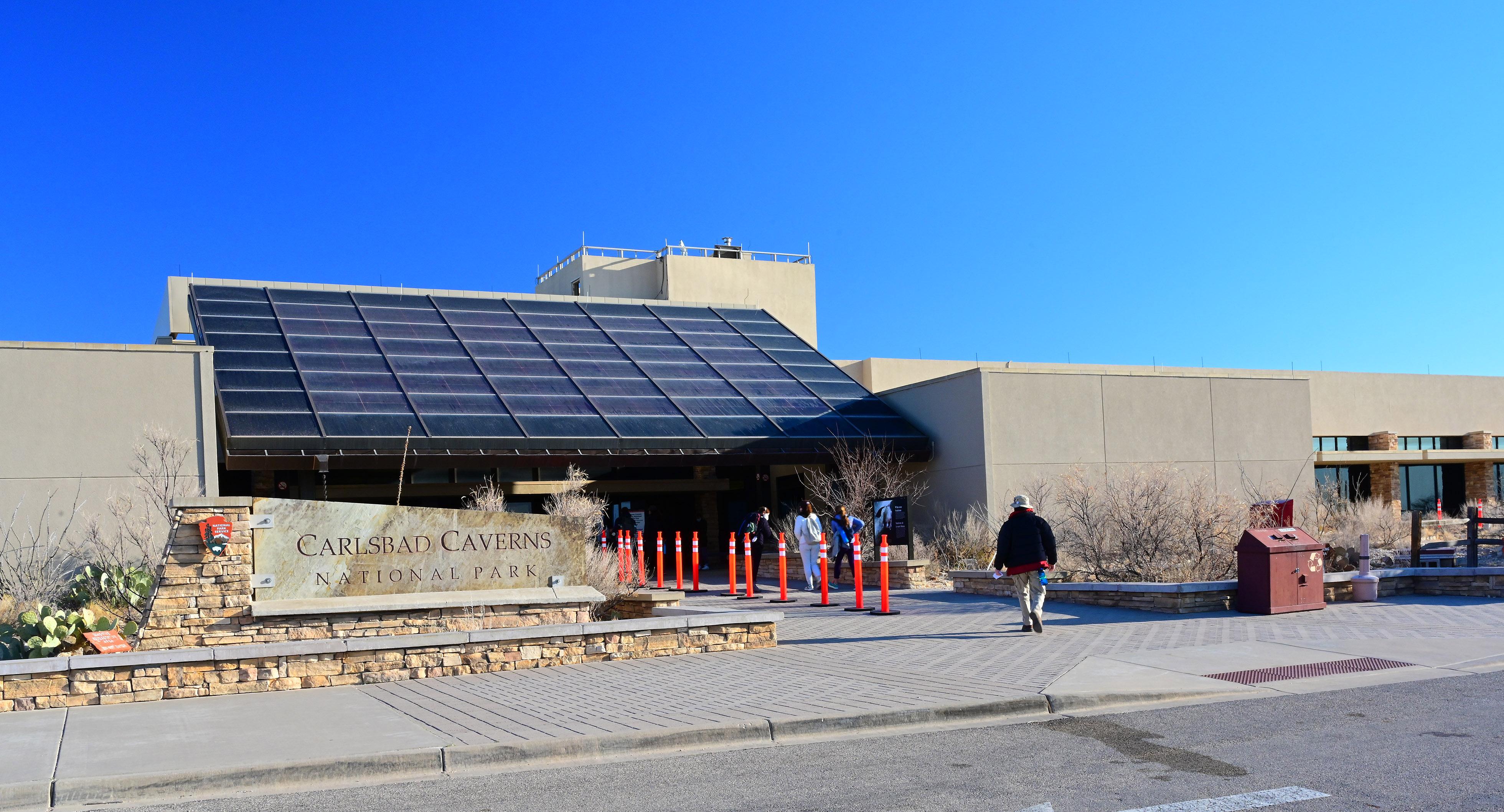
>> RESERVATIONS REQUIRED to enter cavern and must be purchased at recreation.gov or by calling 877-444-6777.
 WNPA Trailhead BookstoreFacility · not watchable
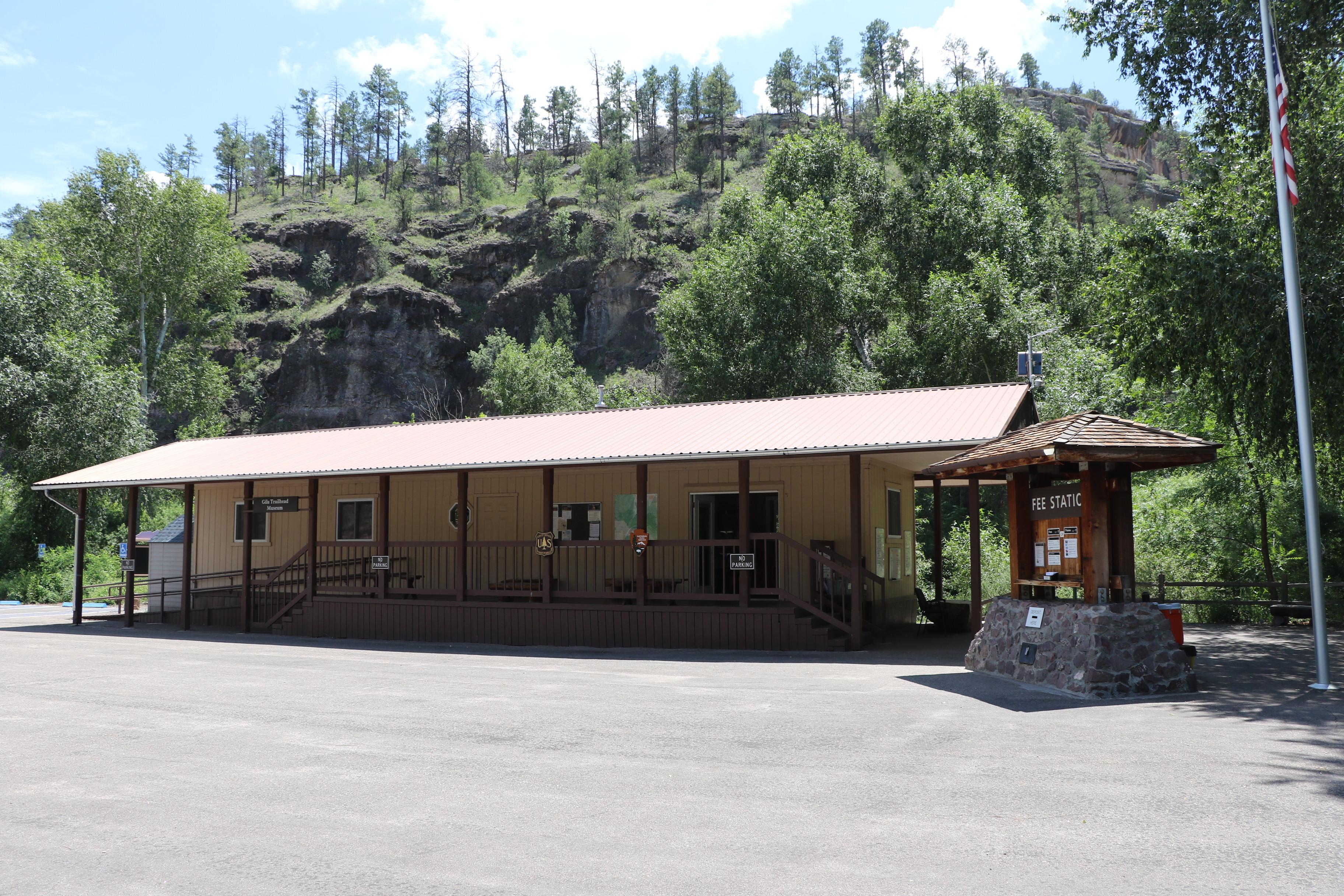
At the Trailhead Bookstore, you will find our park store operated by the Western National Parks Association.
- Weed LookoutFacility · not watchable
This early version Aermotor LX-24 lookout, is located on the Sacramento Ranger District, and is the oldest surviving lookout on the Lincoln National Forest.
 White Sands National Park ToursTickets
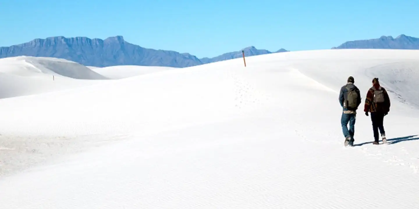
Overview: Rising from the heart of the Tularosa Basin is one of the world's great natural wonders, the glistening white sands of New Mexico.
 White Sands Visitor CenterFacility · not watchable
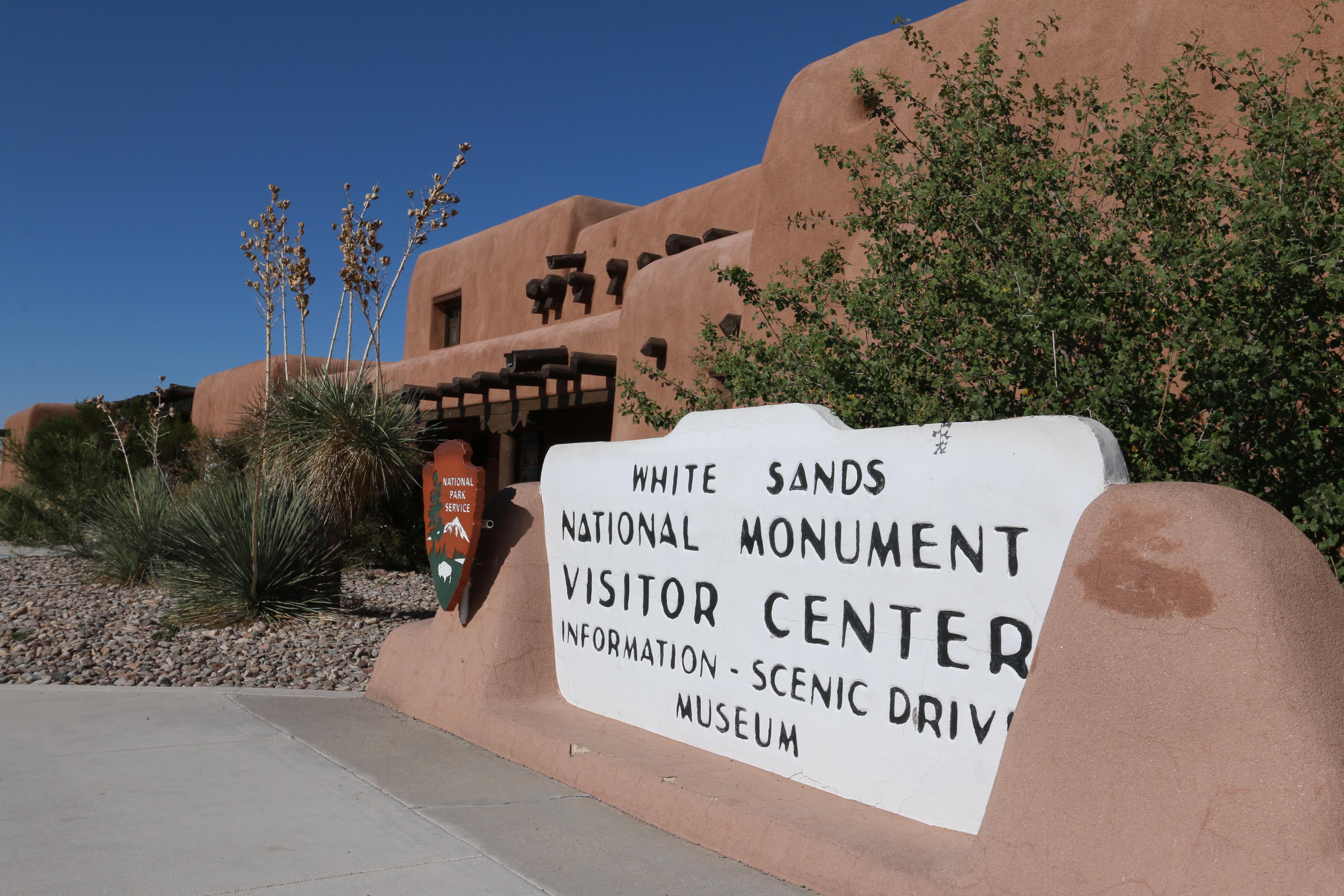
The visitor center was built in 1936 and is part of the historic district at White Sands.
- Wild Rivers Recreation AreaFacility · not watchable
The Wild Rivers Recreation Area is located within the Rio Grande Del Norte National Monument and along the Rio Grande Wild and Scenic River and Red River Wild…
- Windy Bridge Picnic SiteFacility · not watchable
Windy Bridge picnic site is located 12 miles north of Pecos on NM 63. Uses: Picnicking, fishing in the Pecos River.
- Windy Point VistaFacility · not watchable
Soaring to nearly 10,000' high, the Windy Point Vista is a spectacular vantage point of the entire Lincoln National Forest and Tularosa Basin.
- Winsor Creek Fishing Area and TrailheadFacility · not watchable
Located 20 miles north of Pecos on NM 63, one and a half miles on FR 121. Uses: Fishing, Hiking, Backpacking. Facilities: Vaulted toilet.
- Winsor Ridge TrailheadFacility · not watchable
Winsor Ridge Trailhead is access point for Winsor Ridge Trail #271 and trail to Panchuela Campground and Trailhead. Located 20 miles north of Pecos on NM 63.
- Wofford LookoutFacility · not watchable
Wofford lookout has a seven foot square Aermotor MC-39 steel cab that sits on an eighty foot high tower.
- Wolf Hollow #773 TrailheadFacility · not watchable
Trailhead at Wolf Hollow Campground for Wolf Hollow Trail #773 to Black Mountain. Five (5) miles of Wolf Hollow Trail #773 was logged, from FR 141 to Black…
- Yost DrawFacility · not watchable
Take a walk in 1598 with Don Juan de Oсate and those who traveled on El Camino Real. This 3 mile-long trail leads up to the historic Camino Real.
Facility information and photographs from Recreation.gov (RIDB). SpotOpened is not affiliated with Recreation.gov or any federal agency.