Cienega Picnic Site
Campground · New Mexico · 1 bookable site ·
Managed by the USDA Forest Service
Cibola National Forest (NF) · Open Access
- 1
- Bookable site
- up to 50
- People per site
- 1
- Accessible site
- 7,500 ft
- Elevation
Overview
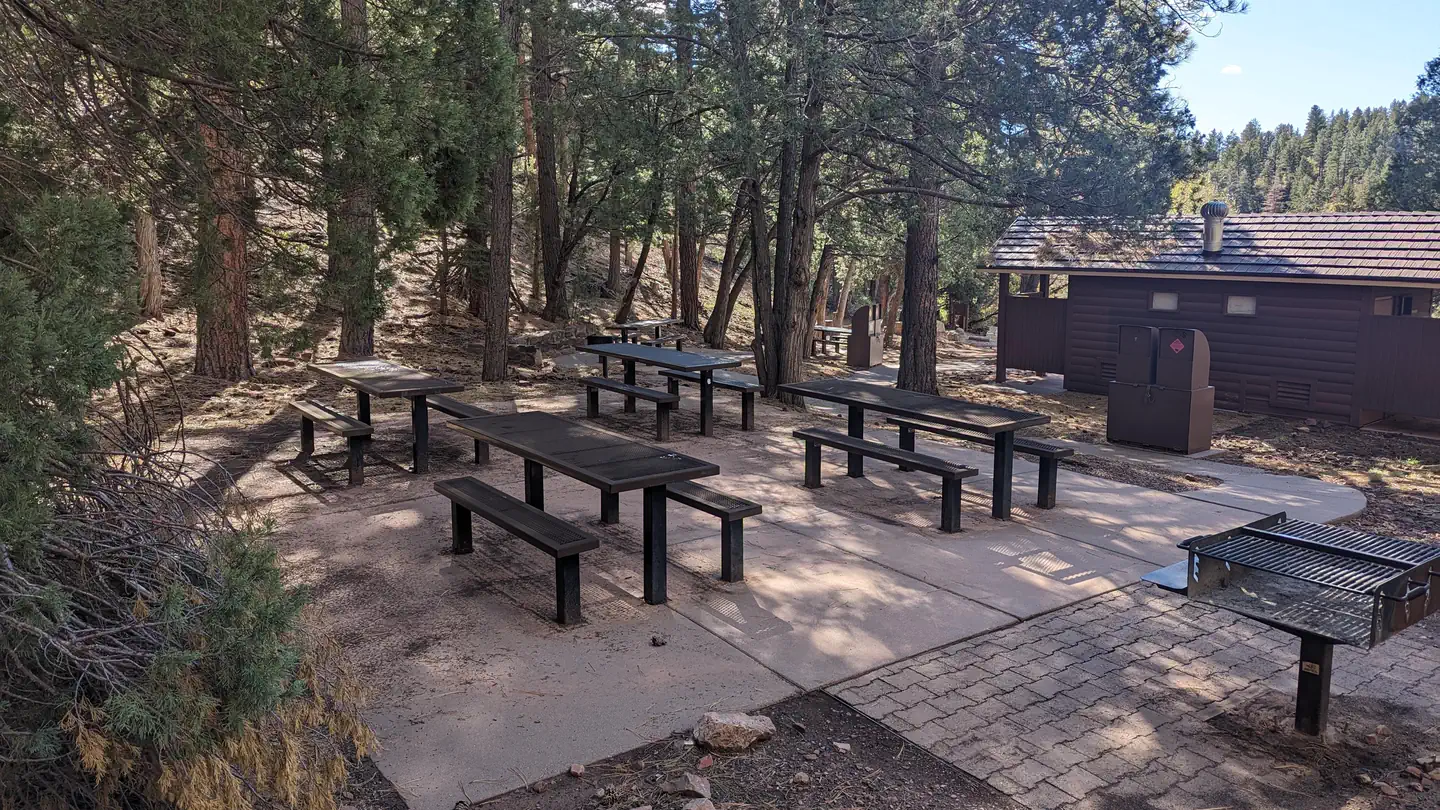
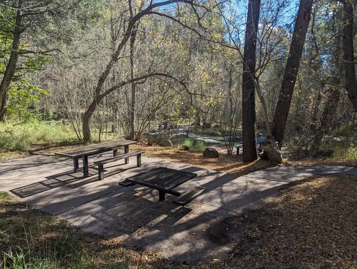
Beautiful, shady, cool and green are just a few words that recreationists have used to describe the Cienega Group Picnic site. It is fairly flat, accessible, semi-private and accommodates up to fifty people. There are grills, bear proof trash containers and vault toilets provided and no shelter other than the surrounding shade trees. A stream, which draws birds and other wildlife, runs through the area. There is no overnight camping at Cienega. Cienega's accessible interpretive trail/sidewalk winds around the picnic site and provides a great learning experience for those who take the time to check it out. There is an accessible patio near the beginning of the interpretive trail that is suitable for a picnic. The larger Cienega Picnic Area provides additional dispersed picnicking opportunities and access to a number of trail systems. This is a popular area for horse riders and mountain bikers.
Recreation
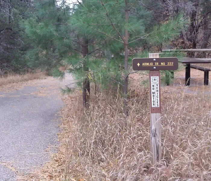
A variety of biking, hiking, and horseback riding trails are available from within the picnic area, including one leading to the mountain crest. The nearly 10-mile round-trip trail winds through a fir forest, abundant with wildflowers. Much of the hike is in the shade, although the terrain can be rough. Day hikes are available along the route. In non-drought times, the trails follow a mountain stream with a beautiful travertine waterfall. Make sure to bring a detailed trail map such as the Sandia Mountain Wilderness map, or the Sandia Mountain Trails Guide. An accessible interpretive trail leads along the nearby stream and meadow, called "La Cienega" which means wet meadow. This unique trail was cooperatively built, by the New Mexico Association for the Blind and the Forest Service, for persons with a disability or otherwise limited physical mobility.
Facilities
The picnic site offers a semi-private space that can accommodate up to 50 people. There is no shelter, however, the trees provide plenty of shade.Water and electricity, firewood/charcoal are not available at the site. Picnic tables, grills, accessible vault toilets and bear proof trash receptacles are provided. Bears frequent the area; please use appropriate containers for food and garbage. Food Storage Keeping You and Bears Safe
Natural Features
Located approximately a half mile off the 536 Scenic Byway, the Cienega Picnic site is fairly flat. There is a stream that runs through it, that has created a wet meadow. It is encircled by trees and an interpretive trail/sidewalk.Nearby Attractions
There are privately owned businesses and restaurants all along NM State Road 14 and a museum on your way up the 536 Scenic Byway as you head toward Cienega Group Picnic area. The Sandia Crest 536 Scenic Byway is a popular route to explore with access to many hiking, biking, and horse riding trails along the way. The Sandia Mountain Wilderness is accessed from a number of the nearby trails.
The facts
- 1 bookable site
- 1 site for day use only
- 1 accessible site
- Up to 50 people per site
- Loops: CIENEGA
Site types
- 1 Group Picnic Area
1 campsite at Cienega Picnic Site
Check-in 11:00 AM · Check-out 10:00 PM
| Site | Loop | Type | Entry | Surface | Max rig | People | |
|---|---|---|---|---|---|---|---|
| 001 | CIENEGA | Group Picnic Area | — | Paved | — | 50 | ♿ |
Getting there
35.16972, -106.38417 · 35°10'11.0"N 106°23'3.0"W
Typical weather
Typically 83°F in Jul, down to 43°F in Dec.
| Jan | Feb | Mar | Apr | May | Jun | Jul | Aug | Sep | Oct | Nov | Dec | |
|---|---|---|---|---|---|---|---|---|---|---|---|---|
| High °F | 44 | 48 | 55 | 63 | 73 | 83 | 83 | 80 | 77 | 65 | 54 | 43 |
| Low °F | 19 | 22 | 26 | 34 | 41 | 49 | 53 | 52 | 46 | 36 | 24 | 18 |
| Precip in | — | — | — | — | — | — | — | — | — | — | — | — |
1991–2020 averages from the nearest NOAA station, 3 mi away — not measured at the facility itself, and elevation can make a real difference over that distance.
Map
Fees and stay limits
Contact recreation.gov or 877-444-6777
From Recreation.gov, which is not always current. The operator's own page is the authority on what you will be charged.
More photos
Member photos
Common questions about Cienega Picnic Site
- Can you reserve a site at Cienega Picnic Site?
- Yes, Cienega Picnic Site is reservable through Recreation.gov.
- How many campsites does Cienega Picnic Site have?
- 1 site.
Camping near Cienega Picnic Site
- DOC LONG PICNIC SITES - A and B 0.6 mi · Campground · we watch it
- Balsam Glade Picnic Site 3.3 mi · Campground · we watch it
- Capulin Spring Picnic Site 3.7 mi · Campground · we watch it
- Nine Mile Picnic Site 3.8 mi · Campground · we watch it
- Las Huertas Picnic Site 4.7 mi · Campground · we watch it
- Cedro Peak Camping Sites - Robin and Jay 9.6 mi · Campground · we watch it
- PINE FLAT PICNIC SITES - A and B 11.1 mi · Campground · we watch it
- Oak Yucca and Locust Group Picnic Sites 12.3 mi · Campground · we watch it
- Cedro Peak Camping Sites - Robin and Jay 8.7 mi · Campground
- Enchantment Pass- Cibola NF & NG 12.6 mi · Activity pass
- Petroglyph Information Center 18.6 mi · Facility
- Tajique Campground 27.4 mi · Campground
Contact
- Phone 505-281-3304
- Book Recreation.gov
Recreation.gov last updated this record on 2026-06-02.
Facility information and photographs from Recreation.gov (RIDB). SpotOpened is not affiliated with Recreation.gov or any federal agency.
Comments