Jemez Falls (NM) Picnic Area
Campground · New Mexico · 1 bookable site ·
Managed by the USDA Forest Service
Jemez National Recreation Area (National Recreation Area) · Open Access
- 1
- Bookable site
- up to 75
- People per site
- 1
- Accessible site
- 7,941 ft
- Elevation
Overview
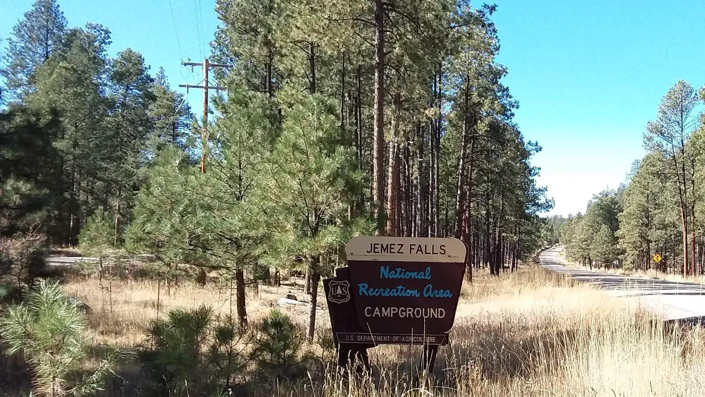
Jemez Falls Picnic Area is great place to spend the day, especially when planning a day hike to nearby Jemez Falls on the Jemez District of the Santa Fe National Forest. The lands are known for immense cultural heritage of the Jemez people, as well as a therapeutic natural warm springs.Recreation
A trailhead to Jemez Falls is located within the day-use area. It leads to both Jemez Falls and McCauley Warm Springs. Visitors can also enjoy fishing the Jemez River, a small trout stream stocked with catchable trout.
Facilities
The accessible picnic area is equipped with a shelter, tables and large grills. Accessible vault toilets and trash collection are provided. The site can accommodate up to 50 people. A large parking area is on-site.
Natural Features
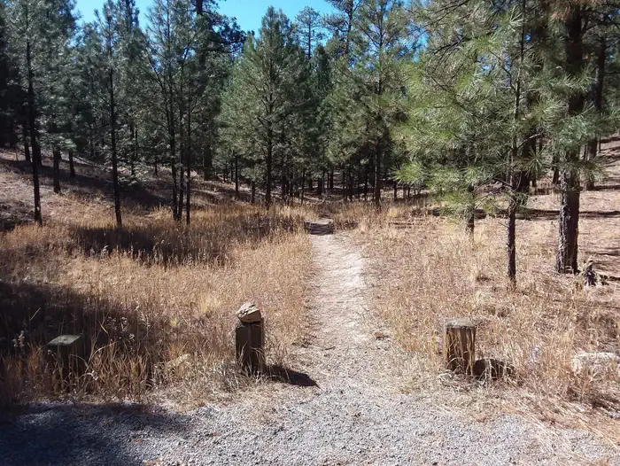
The picnic area is situated in a forested area at an elevation of 7,880 feet. Nearby Jemez Falls cascades 70 feet over a rocky cliff surrounded by boulders and pines.Nearby Attractions
The picnic area is located 15 miles northeast of Jemez Springs, New Mexico. San Diego Canyon overlook is located nearby and provides a stunning view of the canyon. Nearby Valles Caldera and Bandelier National Monument provide plenty of scenic views and geographic history.
The facts
- 1 bookable site
- 1 site for day use only
- 1 accessible site
- Up to 75 people per site
- Loops: JEME
Site types
- 1 Group Shelter Nonelectric
Amenities
- Shade
Not recorded upstream: electric hookups, water hookups, sewer hookups, campfires allowed, fire pits, picnic tables, grills, pets allowed.
1 campsite at Jemez Falls (NM) Picnic Area
Check-in 8:00 AM · Check-out 9:00 PM
| Site | Loop | Type | Entry | Surface | Max rig | People | |
|---|---|---|---|---|---|---|---|
| Group Picnic Site | JEME | Group Shelter Nonelectric | — | Gravel | — | 75 | ♿ |
Getting there
35.81694, -106.60611 · 35°49'1.0"N 106°36'22.0"W
Typical weather
Typically 89°F in Jul, down to 47°F in Dec.
| Jan | Feb | Mar | Apr | May | Jun | Jul | Aug | Sep | Oct | Nov | Dec | |
|---|---|---|---|---|---|---|---|---|---|---|---|---|
| High °F | 48 | 52 | 60 | 68 | 76 | 87 | 89 | 86 | 80 | 70 | 56 | 47 |
| Low °F | 19 | 22 | 28 | 33 | 41 | 50 | 55 | 54 | 47 | 36 | 26 | 19 |
| Precip in | 1.0 | 0.8 | 1.0 | 0.9 | 0.8 | 0.7 | 2.6 | 2.6 | 1.6 | 1.4 | 0.9 | 0.9 |
1991–2020 averages from the nearest NOAA station, 5.3 mi away — not measured at the facility itself, and elevation can make a real difference over that distance.
Map
More photos

Member photos
Common questions about Jemez Falls (NM) Picnic Area
- Can you reserve a site at Jemez Falls (NM) Picnic Area?
- Yes, Jemez Falls (NM) Picnic Area is reservable through Recreation.gov.
- How many campsites does Jemez Falls (NM) Picnic Area have?
- 1 site.
Camping near Jemez Falls (NM) Picnic Area
- Jemez Falls Campground less than 0.1 mi · Campground · we watch it
- Redondo Campground 3.3 mi · Campground · we watch it
- Jemez Falls Group Picnic Site 0.1 mi · Facility
- Jemez Falls Trailhead 0.1 mi · Facility
- East Fork Trailhead #137 0.9 mi · Facility
- Battleship Rock Trailhead 2.2 mi · Facility
- Battleship Rock Picnic Site 2.3 mi · Facility
- Rincon Fishing Site 2.5 mi · Facility
- Spence Hot Spring Trailhead 2.6 mi · Facility
- Dark Canyon Fishing Site 2.8 mi · Facility
- San Diego Canyon Overlook Overlook Site 3.2 mi · Facility
- La Cueva Picnic Site 3.7 mi · Facility
Contact
- Phone (575) 829-3535
- Book Recreation.gov
Recreation.gov last updated this record on 2026-02-25.
Facility information and photographs from Recreation.gov (RIDB). SpotOpened is not affiliated with Recreation.gov or any federal agency.
Comments