Longmire Wilderness Information Center
Visitor Center · Washington ·
Managed by the National Park Service
Mount Rainier National Park (National Park) · Open Access
- 2,756 ft
- Elevation
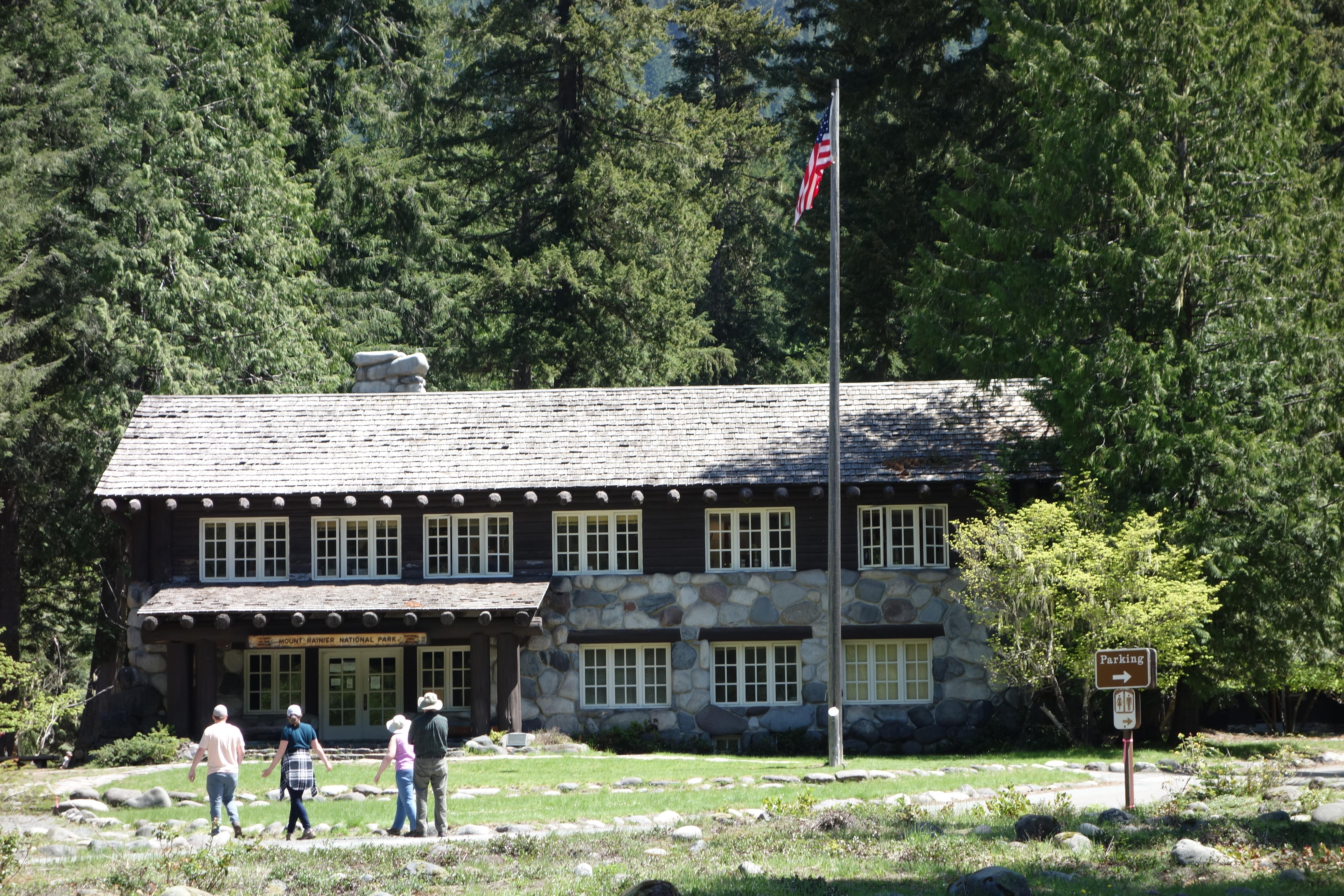
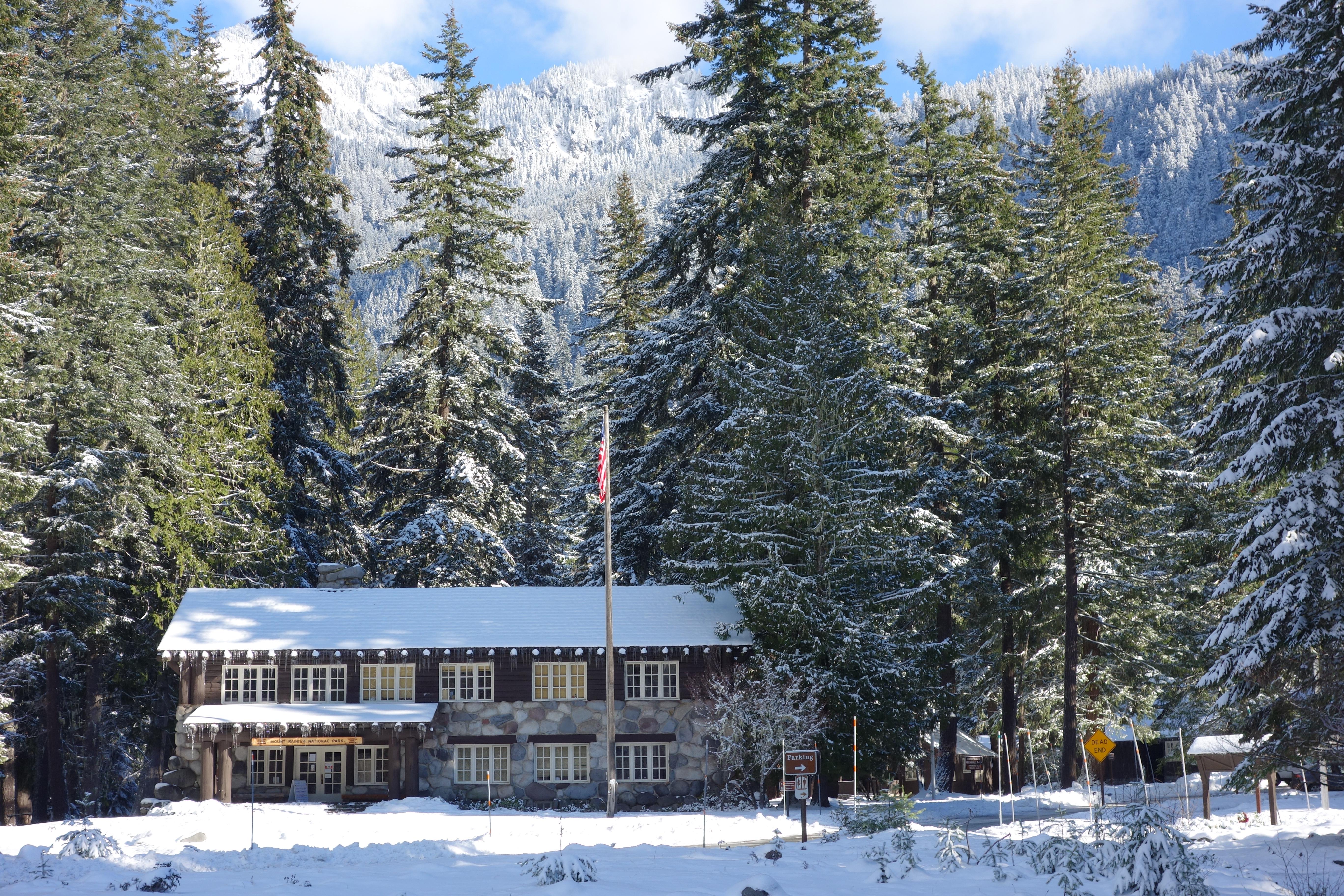
Open during the summer, the Longmire Wilderness Information Center (WIC) is located in the lobby of the historic Longmire Administration Building, a picturesque example of National Park Service rustic architecture in Longmire. The WIC features a 3D model map of Mount Rainier National Park and has an information desk staffed by wilderness rangers. Rangers at the WIC assist with wilderness permits, trip planning, and providing maps and trail condition updates.
Getting there
The Longmire WIC has no physical address. It is in Longmire, on the south side of the mountain, about 9 miles east of the town of Ashford on State Route 706.
46.75014, -121.81168 · 46°45'0.5"N 121°48'42.0"W
Typical weather
Typically 76°F in Aug, down to 36°F in Dec.
| Jan | Feb | Mar | Apr | May | Jun | Jul | Aug | Sep | Oct | Nov | Dec | |
|---|---|---|---|---|---|---|---|---|---|---|---|---|
| High °F | 37 | 40 | 45 | 51 | 60 | 66 | 75 | 76 | 69 | 55 | 43 | 36 |
| Low °F | 26 | 26 | 28 | 31 | 37 | 42 | 46 | 46 | 42 | 35 | 29 | 25 |
| Precip in | 11.4 | 8.6 | 7.5 | 5.9 | 4.8 | 3.7 | 1.2 | 1.5 | 3.5 | 9.0 | 13.0 | 12.4 |
1991–2020 averages from the nearest NOAA station, 0.1 mi away — not measured at the facility itself, and elevation can make a real difference over that distance.
Map
More photos
Member photos
Common questions about Longmire Wilderness Information Center
- Can you reserve a site at Longmire Wilderness Information Center?
- No. Longmire Wilderness Information Center is not reservable through Recreation.gov, so sites are first-come, first-served or booked elsewhere.
Camping near Longmire Wilderness Information Center
- Cougar Rock Campground 1.4 mi · Campground · we watch it
- Cougar Rock Group Campground 1.4 mi · Campground · we watch it
- Big Creek (Gifford Pinchot National Forest, WA) 7.6 mi · Campground · we watch it
- Ohanapecosh Campground 11.5 mi · Campground · we watch it
- Ohanapecosh Group Campground 11.5 mi · Campground · we watch it
- La Wis Wis Campground 11.8 mi · Campground · we watch it
- Longmire Museum less than 0.1 mi · Facility
- Henry M Jackson Memorial Visitor Center 4.3 mi · Facility
- Paradise Wilderness Information Center 4.4 mi · Visitor Center
- Campground: Big Creek 7.6 mi · Campground
- Ohanapecosh Visitor Center 11.7 mi · Facility
- Campground: Coho Group Camp 12.2 mi · Campground
Contact
- Phone (360) 569-6650
- Email morainfo@nps.gov
- Info Recreation.gov
Recreation.gov last updated this record on 2026-02-25.
Facility information and photographs from Recreation.gov (RIDB). SpotOpened is not affiliated with Recreation.gov or any federal agency.
Comments