Cottonwood Campground - Naches River (WA)
Campground · Washington · 15 bookable sites ·
Managed by the USDA Forest Service
Mather Memorial Parkway Memorial Area (Administrative) (Memorial Area (Administrative)) · Restricted Access
- 15
- Bookable sites
- 40 ft
- Max rig length
- up to 8
- People per site
- 2,273 ft
- Elevation
Overview
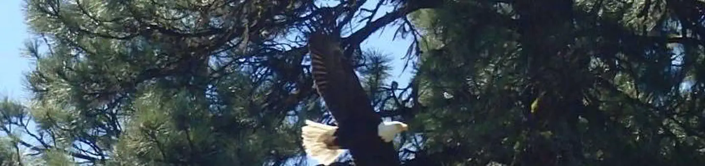
Cottonwood Campground is located along the Naches River in the Northern Cascade Range of Washington. Craggy peaks, mountain meadows and old-growth forests provide visitors with unique landscapes within the Okanogan National Forest.Warm summer days and access to a multitude of recreational activities make it an ideal setting for both individual and family camping excursions.
Recreation
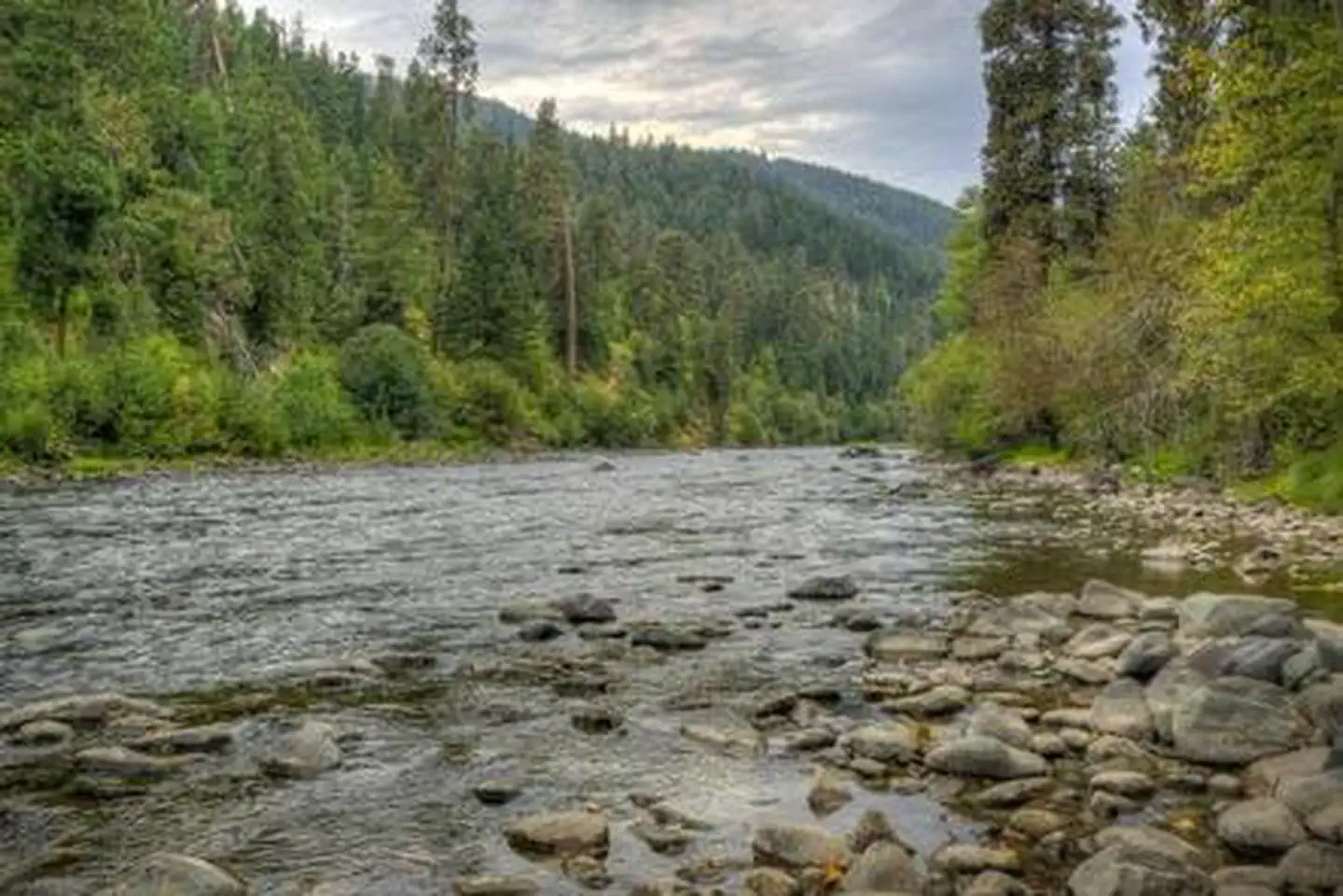
Visitors enjoy whitewater rafting on the nearby American River or splashing around in Naches River, which can be accessed from the campground.
Cottonwood Campground offers outdoor enthusiasts the opportunity to fish, swim, hike and enjoy a multitude of recreational activities throughout the year. Numerous hiking trails can be accessed near the campground and in the surrounding area. Nearby American Ridge Trail, open to hikers, backpackers and horseback riders, extends over 26 miles from Bumping River to the notable Pacific Crest Trail.
Facilities
Cottonwood Campground offers standard sites and tent-only sites. Vault toilets and drinking water are available; however, electric hookups are not available.Natural Features
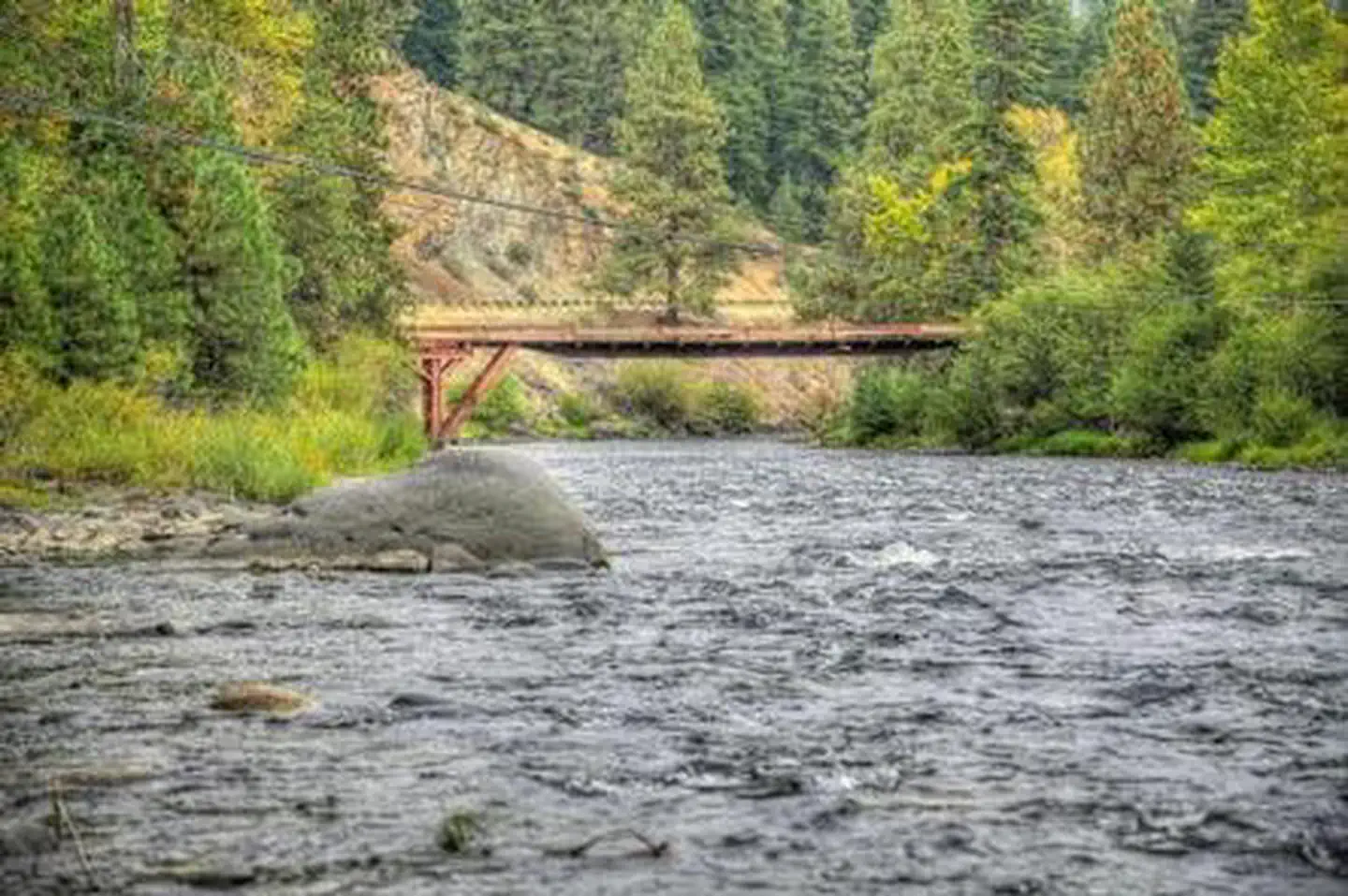
The Okanogan-Wenatchee National Forest's high, glaciated alpine peaks tower along the Cascade Crest. Lush valleys of old-growth forest define its western boundary, and at its eastern edge, rugged shrub-steppe country comprises a more arid region. Elevations range from below 1,000 feet to over 9,000 feet.The Naches River, adjacent to Cottonwood Campground, is a tributary of the Yakima River in central Washington. In its upper reaches, the Naches River flows through rugged terrain and areas of pristine wilderness.
The river was used by Native Americans and settlers throughout history. It has served as a natural corridor between the east and west sides of the Cascades via Naches Pass.
Nearby Attractions
Boulder Cave National Recreation Trail is one of the most popular places in the Naches District. Visitors can walk the accessible trail along the river or explore Boulder Cave. Interpretive signs along the trail explain the geology, plants, animals and fire history of the area.In the fall, thousands of people come to experience whitewater rafting on both the Tieton and American Rivers.
Contact Info
This location has limited staffing. Please call (661) 702-1420 for general information.Charges & Cancellations
Cancellations
Individual Campsites: Cancellations up to 2 days before a reservation start date incur a $10.00 cancellation fee.
A visitor who cancels a reservation the day before or on the day of arrival will pay a $10.00 service fee AND forfeit the first night's use fee including tax and applicable add-on for a campsite.
Cancellations for a one-night reservation will forfeit the entire amount paid and will not be subject to an additional service fee.
No-Shows
A no-show visitor is one who does not arrive at a campground and does not cancel the reservation by check-out time on the day after the scheduled arrival date. Staff will hold a campsite until check-out time on the day following the arrival date.
No-shows are assessed $20.00 service fee and forfeit the first night's rate, taxes and applicable add-on for a campsite.
Refunds
Visitors may submit a refund request through their Recreation.gov profile within 7 days of the end date of their reservation. Refunds will not be issued after the 7 days has ended.
Refunds for debit or credit card payments will be issued as a credit to the original bank or credit card used to pay.
For check or cash purchases, Recreation.gov will mail a Treasury check for refunds of cash, check, or money order payments to the address associated with the reservation. Treasury check refunds may take up to 6-8 weeks to arrive.
In the event of an emergency closure, the Recreation.gov team or facility manager will refund all fees and will attempt to notify you using the contact information within the Recreation.gov visitor profile.
The facts
- 15 bookable sites
- Vehicles up to 40 ft
- Up to 8 people per site
- Loops: AREA COTTONWOOD
Site types
- 11 Standard Nonelectric
- 4 Tent Only Nonelectric
Amenities
- Campfires allowed
- Fire pits
- Picnic tables
- Shade
- Pets allowed
Not recorded upstream: electric hookups, water hookups, sewer hookups, grills.
15 campsites at Cottonwood Campground - Naches River (WA)
Check-in 02:00 PM · Check-out 12:00 PM
| Site | Loop | Type | Entry | Surface | Water | Max rig | People | |
|---|---|---|---|---|---|---|---|---|
| 01 | AREA COTTONWOOD | Tent Only Nonelectric | Back In | Gravel | — | 16 ft | 8 | 🐾 |
| 02 | AREA COTTONWOOD | Standard Nonelectric | Back In | Gravel | Riverfront | 36 ft | 8 | 🐾 |
| 03 | AREA COTTONWOOD | Standard Nonelectric | Back In | Gravel | — | 36 ft | 8 | 🐾 |
| 04 | AREA COTTONWOOD | Standard Nonelectric | Back In | Gravel | Riverfront | 30 ft | 8 | 🐾 |
| 05 | AREA COTTONWOOD | Standard Nonelectric | Back In | Gravel | Riverfront | 40 ft | 8 | 🐾 |
| 06 | AREA COTTONWOOD | Standard Nonelectric | Back In | Gravel | Riverfront | 22 ft | 8 | 🐾 |
| 07 | AREA COTTONWOOD | Standard Nonelectric | Back In | Gravel | Riverfront | 18 ft | 8 | 🐾 |
| 08 | AREA COTTONWOOD | Standard Nonelectric | Back In | Gravel | Riverfront | 22 ft | 8 | 🐾 |
| 09 | AREA COTTONWOOD | Standard Nonelectric | Back In | Gravel | Riverfront | 22 ft | 8 | 🐾 |
| 11 | AREA COTTONWOOD | Tent Only Nonelectric | Back In | Gravel | — | 22 ft | 8 | 🐾 |
| 12 | AREA COTTONWOOD | Standard Nonelectric | Back In | Gravel | Riverfront | 21 ft | 8 | 🐾 |
| 13 | AREA COTTONWOOD | Standard Nonelectric | Back In | Gravel | — | 18 ft | 8 | 🐾 |
| 14 | AREA COTTONWOOD | Tent Only Nonelectric | Back In | Gravel | Riverfront | 22 ft | 8 | 🐾 |
| 15 | AREA COTTONWOOD | Standard Nonelectric | Back In | Gravel | Riverfront | 19 ft | 8 | 🐾 |
| 16 | AREA COTTONWOOD | Tent Only Nonelectric | Back In | Gravel | Riverfront | 20 ft | 8 | 🐾 |
Getting there
From Naches, take Highway 410 northeast 22.5 miles to milepost 99.5.
46.90722, -121.02611 · 46°54'26.0"N 121°1'34.0"W
Typical weather
| Jan | Feb | Mar | Apr | May | Jun | Jul | Aug | Sep | Oct | Nov | Dec | |
|---|---|---|---|---|---|---|---|---|---|---|---|---|
| High °F | — | — | — | — | — | — | — | — | — | — | — | — |
| Low °F | — | — | — | — | — | — | — | — | — | — | — | — |
| Precip in | 10.4 | 7.1 | 7.1 | 4.1 | 2.9 | 1.9 | 0.8 | 0.8 | 1.9 | 6.3 | 10.6 | 10.5 |
1991–2020 averages from the nearest NOAA station, 15.9 mi away — not measured at the facility itself, and elevation can make a real difference over that distance.
Map
Fees and stay limits
Extra Vehicle Fee $11.00
From Recreation.gov, which is not always current. The operator's own page is the authority on what you will be charged.
More photos
Member photos
Common questions about Cottonwood Campground - Naches River (WA)
- Can you reserve a site at Cottonwood Campground - Naches River (WA)?
- Yes, Cottonwood Campground - Naches River (WA) is reservable through Recreation.gov.
- How many campsites does Cottonwood Campground - Naches River (WA) have?
- 15 sites.
- What is the maximum RV length at Cottonwood Campground - Naches River (WA)?
- 40 ft. That is the longest vehicle the sites here are recorded as taking; individual sites may be shorter.
- Are pets allowed at Cottonwood Campground - Naches River (WA)?
- Yes, pets are allowed at Cottonwood Campground - Naches River (WA).
- Are campfires allowed at Cottonwood Campground - Naches River (WA)?
- Campfires are allowed at Cottonwood Campground - Naches River (WA). Check for a current fire restriction before you go.
Camping near Cottonwood Campground - Naches River (WA)
- Sawmill Flat Campground 5.7 mi · Campground · we watch it
- Halfway Flat Campground 6 mi · Campground · we watch it
- Little Naches Campground 6.7 mi · Campground · we watch it
- Indian Flat Group Site 7.7 mi · Campground · we watch it
- Cedar Springs Campground (Wa) 7.9 mi · Campground · we watch it
- American River Guard Station 8.2 mi · Campground · we watch it
- American Forks Campground 8.2 mi · Campground · we watch it
- American Ridge Lodge 8.3 mi · Campground · we watch it
- Kaner Flat Group Site 8.7 mi · Campground · we watch it
- Kaner Flat Campground 8.7 mi · Campground · we watch it
- Soda Springs Campground (Bumping River, WA) 9 mi · Campground · we watch it
- Cottonwood Campground - Naches RD less than 0.1 mi · Campground
Contact
- Phone 541-338-7869
- Email jveulman@goexplorus.com
- Book Recreation.gov
Recreation.gov last updated this record on 2026-03-11.
Facility information and photographs from Recreation.gov (RIDB). SpotOpened is not affiliated with Recreation.gov or any federal agency.
Comments