Afton Landing
Campground · Oklahoma · 23 bookable sites ·
Managed by the US Army Corps of Engineers
Creek Oklahoma Tribal Statistical Area (D6)
- 23
- Bookable sites
- up to 100
- People per site
- 530 ft
- Elevation
Overview
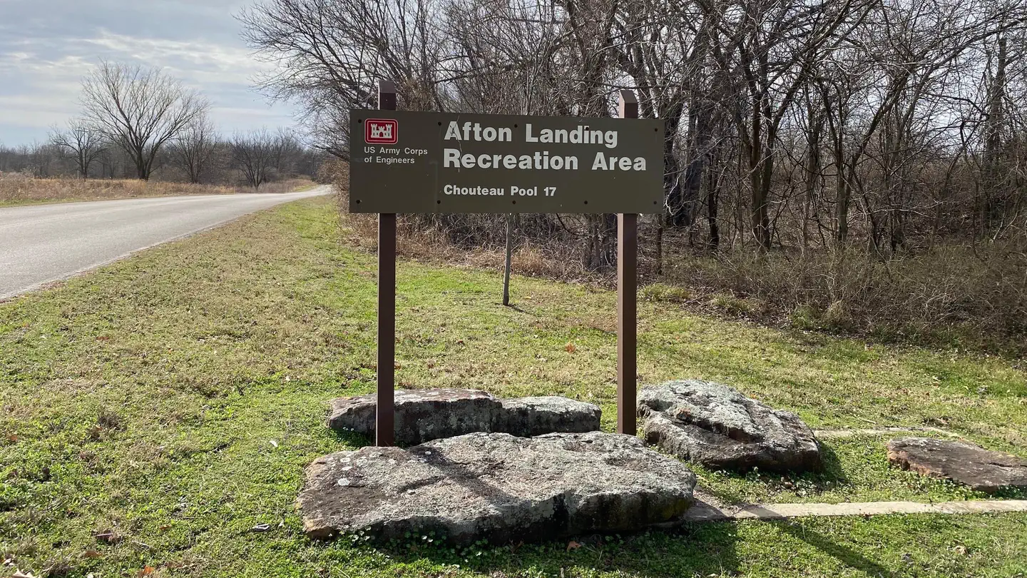
Afton Landing is located upstream of Chouteau Lock and Dam 17 on the McClellan-Kerr Navigation System approximately 6 miles west of Wagoner, OK. Visitors can enjoy camping, picnicking, fishing, boating, kayaking or simply enjoying the scenic beauty the area has to offer.
Recreation
The Chouteau Lock and Dam 17 project was primarily constructed for the improvement of the Arkansas River and its tributaries for commercial barge traffic; however, it also offers recreation and resource opportunities.
Facilities
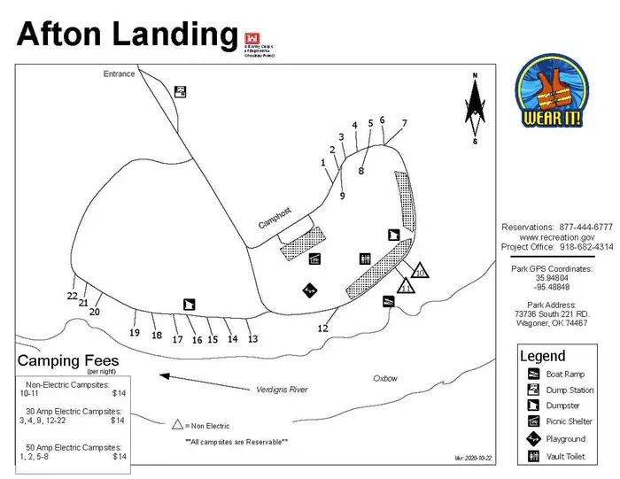
This year-around campground has two camping loops offering 19 campsites with electric, 3 non-electric campsites and a popular group day use shelter. Amenities are available throughout the year and include vault toilets, drinking water, dump station, playground, boat ramp and courtesy dock.
Natural Features
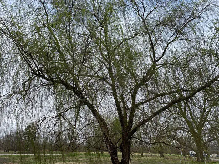
Afton Landing is located off the main river channel on an oxbow and provides excellent access to the backwaters for fishermen, boaters, and kayaks. The campground is surrounded by mixed hardwood forest and the majority of the campsites are shaded. The sloping high banks offer great water views and access to tie boats at the water's edge.
Nearby Attractions
Located just west of the city of Wagoner, Afton Landing is within driving distance to several local dining and shopping facilities. It is also within a 10-minute drive to Fort Gibson Lake and several other campgrounds and state parks.
Charges & Cancellations
Cancellations made 24 hrs prior to the start of the reservation will incur a late cancellation fee ($10 + first nights camping fee)
Cancellations made 48 hrs or more prior to the start of the reservation will incur the cancellation fee of $10.
The facts
- 23 bookable sites
- 1 site for day use only
- Up to 100 people per site
- Loops: AL-East, AL-West
Site types
- 20 Standard Electric
- 2 Standard Nonelectric
- 1 Group Shelter Electric
Amenities
- Electric hookups
- Water hookups
- Campfires allowed
- Fire pits
- Picnic tables
- Grills
- Shade
- Pets allowed
Not recorded upstream: sewer hookups.
23 campsites at Afton Landing
| Site | Loop | Type | Entry | Surface | Water | Max rig | People | |
|---|---|---|---|---|---|---|---|---|
| 1 | AL-East | Standard Electric | Back In | Paved | — | — | 8 | 🐾 |
| 10 | AL-East | Standard Nonelectric | Back In | Paved | Riverfront | — | 8 | 🐾 |
| 11 | AL-East | Standard Nonelectric | Back In | Paved | Riverfront | — | 8 | 🐾 |
| 12 | AL-East | Standard Electric | Back In | Paved | Riverfront | — | 8 | 🐾 |
| 2 | AL-East | Standard Electric | Back In | Paved | — | — | 8 | 🐾 |
| 3 | AL-East | Standard Electric | Back In | Paved | — | — | 8 | 🐾 |
| 4 | AL-East | Standard Electric | Back In | Paved | — | — | 8 | 🐾 |
| 5 | AL-East | Standard Electric | Back In | Paved | — | — | 8 | 🐾 |
| 6 | AL-East | Standard Electric | Back In | Paved | — | — | 8 | 🐾 |
| 7 | AL-East | Standard Electric | Back In | Paved | — | — | 8 | 🐾 |
| 8 | AL-East | Standard Electric | Back In | Paved | — | — | 8 | 🐾 |
| 9 | AL-East | Standard Electric | Back In | Paved | — | — | 8 | 🐾 |
| AL Shelter | AL-East | Group Shelter Electric | — | — | — | — | 100 | 🐾 |
| 13 | AL-West | Standard Electric | Back In | Paved | Riverfront | — | 8 | 🐾 |
| 14 | AL-West | Standard Electric | Back In | Paved | Riverfront | — | 8 | 🐾 |
| 15 | AL-West | Standard Electric | Back In | Paved | Riverfront | — | 8 | 🐾 |
| 16 | AL-West | Standard Electric | Back In | Paved | Riverfront | — | 8 | 🐾 |
| 17 | AL-West | Standard Electric | Back In | Paved | Riverfront | — | 8 | 🐾 |
| 18 | AL-West | Standard Electric | Back In | Paved | Riverfront | — | 8 | 🐾 |
| 19 | AL-West | Standard Electric | Back In | Paved | Riverfront | — | 8 | 🐾 |
| 20 | AL-West | Standard Electric | Back In | Paved | Riverfront | — | 8 | 🐾 |
| 21 | AL-West | Standard Electric | Back In | Paved | Riverfront | — | 8 | 🐾 |
| 22 | AL-West | Standard Electric | Back In | Paved | Riverfront | — | 8 | 🐾 |
Getting there
35.95574, -95.49242 · 35°57'20.7"N 95°29'32.7"W
Typical weather
Typically 93°F in Aug, down to 49°F in Jan.
| Jan | Feb | Mar | Apr | May | Jun | Jul | Aug | Sep | Oct | Nov | Dec | |
|---|---|---|---|---|---|---|---|---|---|---|---|---|
| High °F | 49 | 55 | 64 | 73 | 80 | 87 | 92 | 93 | 84 | 73 | 62 | 52 |
| Low °F | 29 | 33 | 41 | 50 | 60 | 68 | 73 | 71 | 63 | 51 | 40 | 32 |
| Precip in | — | — | — | — | — | — | — | — | — | — | — | — |
1991–2020 averages from the nearest NOAA station, 6.7 mi away — not measured at the facility itself, and elevation can make a real difference over that distance.
Map
More photos
Member photos
Common questions about Afton Landing
- Can you reserve a site at Afton Landing?
- Yes, Afton Landing is reservable through Recreation.gov.
- How many campsites does Afton Landing have?
- 23 sites.
- Are pets allowed at Afton Landing?
- Yes, pets are allowed at Afton Landing.
- Does Afton Landing have hookups?
- Electric, Water.
- Are campfires allowed at Afton Landing?
- Campfires are allowed at Afton Landing. Check for a current fire restriction before you go.
Camping near Afton Landing
- Tullahasse Loop 5.2 mi · Campground · we watch it
- Rocky Point (FT Gibson) 9.5 mi · Campground · we watch it
- Blue Bill Point 10.6 mi · Campground · we watch it
- Flat Rock Creek 11.1 mi · Campground · we watch it
- Taylor Ferry 11.7 mi · Campground · we watch it
- Wahoo Bay 12.5 mi · Campground · we watch it
- Dam Site (Fort Gibson Lake) 15.7 mi · Campground · we watch it
- Gentry Creek 32.9 mi · Campground · we watch it
- Pettit Bay 33.5 mi · Campground · we watch it
- Strayhorn Landing 33.9 mi · Campground · we watch it
- Cookson Bend 34.4 mi · Campground · we watch it
- Hawthorn Bluff 34.6 mi · Campground · we watch it
Contact
- Phone 918-682-4314
- Book Recreation.gov
Recreation.gov last updated this record on 2026-02-25.
Facility information and photographs from Recreation.gov (RIDB). SpotOpened is not affiliated with Recreation.gov or any federal agency.
Comments