Lightfoot Landing
Campground · Missouri · 35 bookable sites ·
Managed by the US Army Corps of Engineers
Pomme De Terre Recreation Area (Recreation Area) · Open Access
- 35
- Bookable sites
- 45 ft
- Max rig length
- up to 50
- People per site
- 1
- Accessible site
- 890 ft
- Elevation
Overview
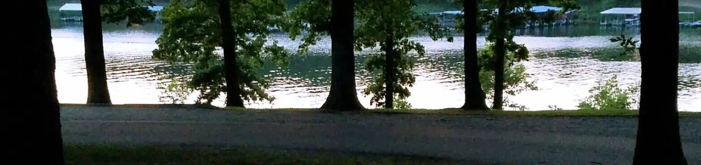
Lightfoot Landing is a smaller campground compared to neighboring park areas, making it a more quiet and peaceful location for boating and fishing on Pomme de Terre Lake, known as the ''Gem of the Ozarks.''
Recreation
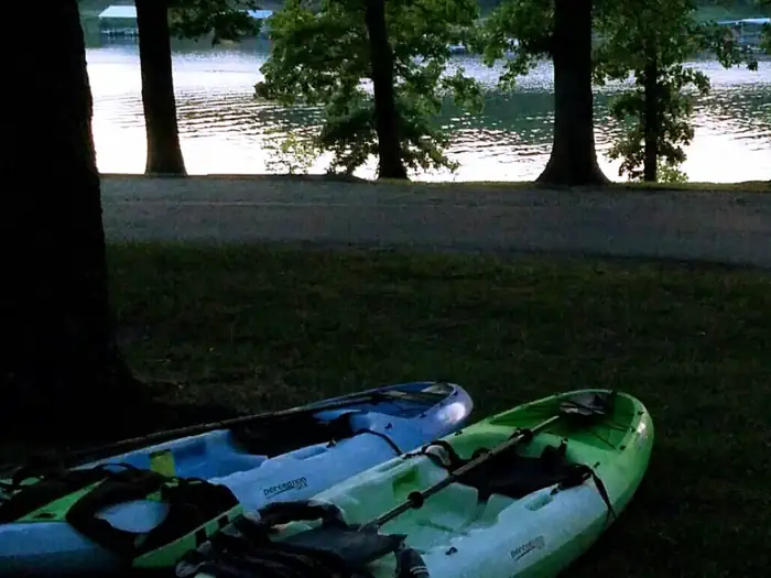
The lake is well known for fishing, with one of the highest catch ratios in the country. Species include bass, catfish, walleye and crappie, but the lake is probably best known for its muskie, which is stocked each fall.Both canoeing and power boating are popular on the lake, with a good amount of water skiing and other water activities taking place.
Facilities
Lightfoot Landing has 35 sites with electric and water hookups, including one that is accessible. Additional amenities include a shower house, boat ramp with courtesy dock, dump station, playground, horse shoe pits, and a picnic shelter.
Natural Features
The Pomme de Terre River and Lindley Creek are the major sources for Pomme de Terre Lake, which spans 7,790 sparkling surface acres, with 113 miles of shoreline.Nearby Attractions
One of the best dirt tracks in the country and is located down 83 highway in Wheatland. Also nearby is the Pomme de Terre Multipurpose Trail, located in Bolivar Landing.The facts
- 35 bookable sites
- 38 sites in total, including non-bookable
- 1 accessible site
- Vehicles up to 45 ft
- Up to 50 people per site
- Loops: LLAN
Site types
- 35 Standard Electric
- 3 Management
Amenities
- Electric hookups
- Water hookups
- Campfires allowed
- Fire pits
- Picnic tables
- Shade
- Pets allowed
Not recorded upstream: sewer hookups, grills.
38 campsites at Lightfoot Landing
Check-in 6:00 PM · Check-out 6:00 PM
| Site | Loop | Type | Entry | Surface | Max rig | People | |
|---|---|---|---|---|---|---|---|
| 01 | LLAN | Standard Electric | Back In | Gravel | 40 ft | 10 | 🐾 |
| 02 | LLAN | Standard Electric | Back In | Gravel | 30 ft | 10 | 🐾 |
| 03 | LLAN | Standard Electric | Back In | Gravel | 40 ft | 10 | 🐾 |
| 04 | LLAN | Standard Electric | Back In | Gravel | 30 ft | 10 | 🐾 |
| 05 | LLAN | Standard Electric | Back In | Gravel | 30 ft | 10 | 🐾 |
| 06 | LLAN | Standard Electric | Back In | Gravel | 30 ft | 10 | 🐾 |
| 07 | LLAN | Standard Electric | Back In | Gravel | 35 ft | 10 | 🐾 |
| 08 | LLAN | Standard Electric | Back In | Gravel | 35 ft | 10 | 🐾 |
| 09 | LLAN | Standard Electric | Back In | Gravel | 40 ft | 10 | 🐾 |
| 10 | LLAN | Standard Electric | Back In | Gravel | 40 ft | 10 | 🐾 |
| 11 | LLAN | Standard Electric | Back In | Gravel | 35 ft | 10 | 🐾 |
| 12 | LLAN | Standard Electric | Back In | Gravel | 40 ft | 10 | 🐾 |
| 13 | LLAN | Standard Electric | Pull Through | Gravel | 35 ft | 10 | 🐾 |
| 14 | LLAN | Standard Electric | Back In | Gravel | 40 ft | 10 | 🐾 |
| 15 | LLAN | Standard Electric | Back In | Gravel | 40 ft | 10 | 🐾 |
| 16 | LLAN | Standard Electric | Back In | Gravel | 40 ft | 10 | 🐾 |
| 17 | LLAN | Standard Electric | Back In | Gravel | 40 ft | 10 | 🐾 |
| 18 | LLAN | Standard Electric | Back In | Gravel | 40 ft | 10 | 🐾 |
| 19 | LLAN | Standard Electric | Back In | Paved | 35 ft | 10 | ♿ 🐾 |
| 20 | LLAN | Standard Electric | Pull Through | Gravel | 45 ft | 10 | 🐾 |
| 21 | LLAN | Standard Electric | Back In | Gravel | 45 ft | 10 | 🐾 |
| 22 | LLAN | Standard Electric | Pull Through | Gravel | 40 ft | 10 | 🐾 |
| 23 | LLAN | Standard Electric | Back In | Gravel | 40 ft | 10 | 🐾 |
| 24 | LLAN | Standard Electric | Pull Through | Gravel | 40 ft | 10 | 🐾 |
| 25 | LLAN | Standard Electric | Back In | Gravel | 35 ft | 10 | 🐾 |
| 26 | LLAN | Standard Electric | Back In | Gravel | 35 ft | 10 | |
| 27 | LLAN | Standard Electric | Back In | Gravel | 35 ft | 10 | 🐾 |
| 28 | LLAN | Standard Electric | Back In | Gravel | 35 ft | 10 | 🐾 |
| 29 | LLAN | Standard Electric | Back In | Gravel | 35 ft | 10 | 🐾 |
| 30 | LLAN | Standard Electric | Pull Through | Gravel | 40 ft | 10 | 🐾 |
| 31 | LLAN | Standard Electric | Back In | Gravel | 40 ft | 10 | 🐾 |
| 32 | LLAN | Standard Electric | Back In | Gravel | 40 ft | 10 | 🐾 |
| 33 | LLAN | Standard Electric | Pull Through | Gravel | 40 ft | 10 | 🐾 |
| 34 | LLAN | Standard Electric | Back In | Gravel | 40 ft | 10 | 🐾 |
| 35 | LLAN | Standard Electric | Back In | Gravel | 40 ft | 10 | 🐾 |
| G1 | LLAN | Management | — | Gravel | — | 50 | 🐾 |
| G2 | LLAN | Management | — | Gravel | — | 50 | 🐾 |
| T01 | LLAN | Management | — | Gravel | — | 10 | 🐾 |
Getting there
37.82611, -93.36139 · 37°49'34.0"N 93°21'41.0"W
Typical weather
| Jan | Feb | Mar | Apr | May | Jun | Jul | Aug | Sep | Oct | Nov | Dec | |
|---|---|---|---|---|---|---|---|---|---|---|---|---|
| High °F | — | — | — | — | — | — | — | — | — | — | — | — |
| Low °F | — | — | — | — | — | — | — | — | — | — | — | — |
| Precip in | 2.1 | 2.2 | 3.3 | 4.8 | 5.9 | 4.9 | 4.4 | 4.2 | 4.4 | 3.8 | 3.4 | 2.7 |
1991–2020 averages from the nearest NOAA station, 4.5 mi away — not measured at the facility itself, and elevation can make a real difference over that distance.
Map
More photos
Member photos
Common questions about Lightfoot Landing
- Can you reserve a site at Lightfoot Landing?
- Yes, Lightfoot Landing is reservable through Recreation.gov.
- How many campsites does Lightfoot Landing have?
- 38 sites in total, of which 35 can be booked.
- What is the maximum RV length at Lightfoot Landing?
- 45 ft. That is the longest vehicle the sites here are recorded as taking; individual sites may be shorter.
- Are pets allowed at Lightfoot Landing?
- Yes, pets are allowed at Lightfoot Landing.
- Does Lightfoot Landing have hookups?
- Electric, Water.
- Are campfires allowed at Lightfoot Landing?
- Campfires are allowed at Lightfoot Landing. Check for a current fire restriction before you go.
Camping near Lightfoot Landing
- Wheatland Park 3.5 mi · Campground · we watch it
- Nemo Landing 5.5 mi · Campground · we watch it
- Outlet Park 5.6 mi · Campground · we watch it
- Damsite 6.2 mi · Campground · we watch it
- Masters (MO) 23.4 mi · Campground · we watch it
- Crabtree Cove 24 mi · Campground · we watch it
- Cedar Ridge (Mo) 24.6 mi · Campground · we watch it
- Lightfoot Park Day Use less than 0.1 mi · Activity pass
- Wheatland Park Day Use 3.6 mi · Activity pass
- Nemo Landing Day Use 5.5 mi · Activity pass
- Fairfield Boat Ramp 22 mi · Activity pass
- Osage Bluff Boat Ramp 24.5 mi · Activity pass
Contact
- Phone 417-282-6890
- Book Recreation.gov
Recreation.gov last updated this record on 2026-08-11.
Facility information and photographs from Recreation.gov (RIDB). SpotOpened is not affiliated with Recreation.gov or any federal agency.
Comments