Mammoth Picnic Shelters
Campground · Kentucky · 2 bookable sites ·
Managed by the National Park Service
Mammoth Cave National Park (National Park) · Open Access
- 2
- Bookable sites
- up to 60
- People per site
- 2
- Accessible sites
- 465 ft
- Elevation
Overview
There are two shelters available at the Mammoth Cave Picnic Area for visitor use, two of which can be reserved.
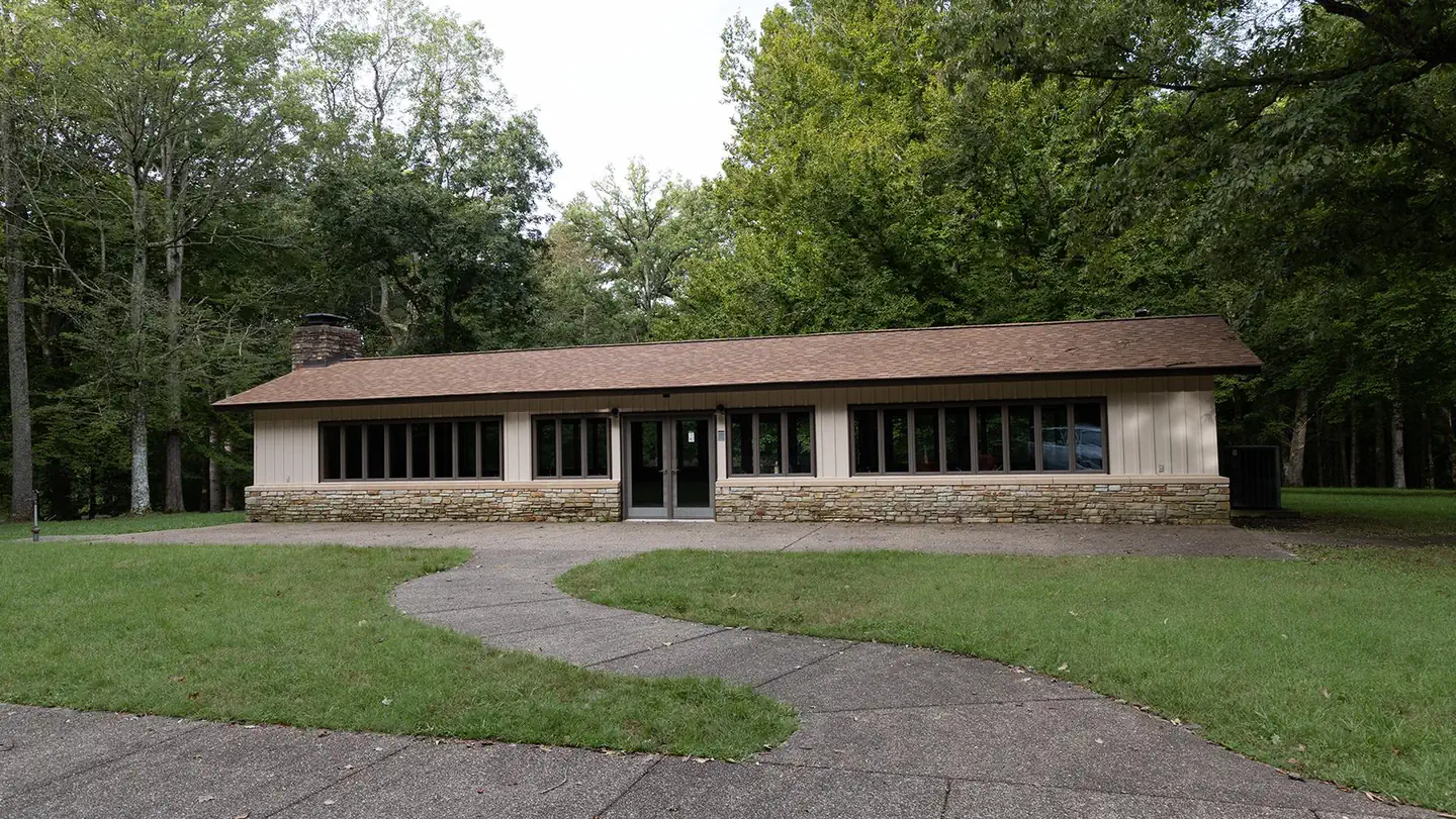
Shelter G-1 in Picnic Area is an Enclosed Shelter *(Pick up the key at the Mammoth Cave Campground Kiosk 10am on the day of your reservation.)*
Check-in 10am. Check-out is no later than 6pm. Let the attendant know when you are planning on checking out so they can make arraignments to inspect the shelter and collect the key.
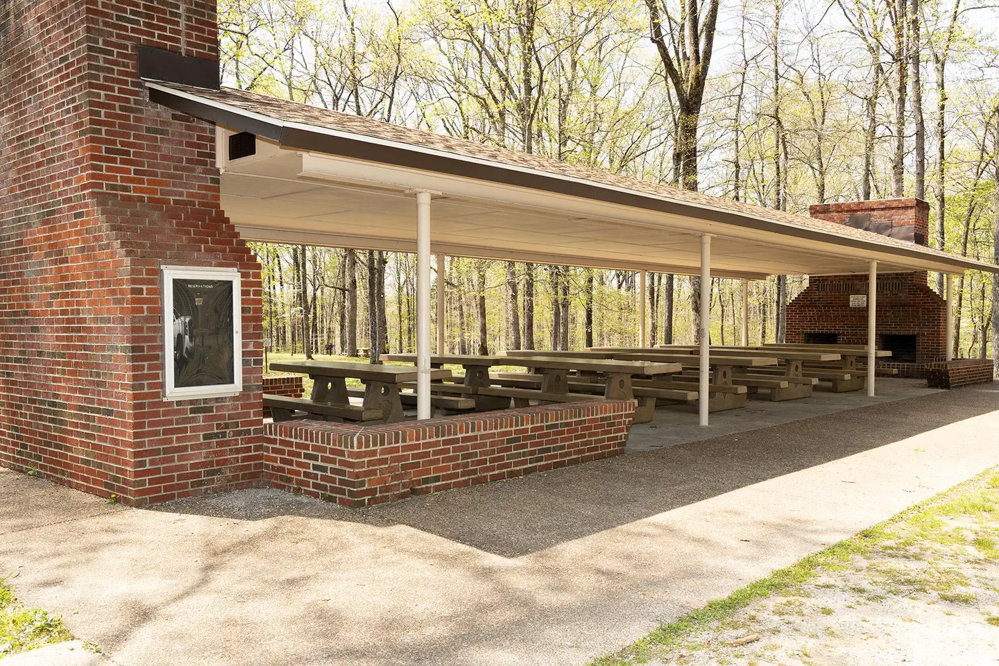
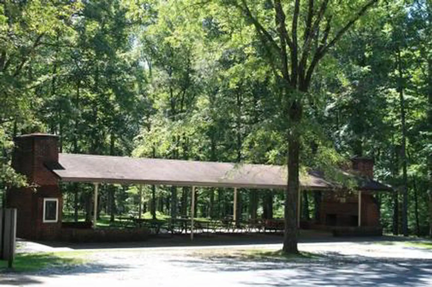
Shelter G-2 in Picnic Area is an Open Shelter
The shelters are within Mammoth Cave National Park, which is best known for its cave that extends over 400 miles. The cave formation began millions of years ago when mildly acidic groundwater dissolved on beds of limestone, creating subterranean passages. Native inhabitants of the cave include bats, spiders, and blindfish.
New Winter Hours for Enclosed shelter (G-1). December 1st, 2025, to February 28th, 2027. During this time only, hours will be 9am to 4pm. Key and instructions will be picked up at the Visitor Center.
Recreation
Picnicking, enjoying the outdoors, and exploring the caves are of primary interest to visitors. The site has trailheads to the Green River Bluffs Trail and the Dixon Cave Trail. Both hiking trails are about a mile long.
Facilities
The picnic shelters are across from the Visitor Center parking lot, nestled in the Picnic Area. Each shelter is equipped to accommodate up to 60 people. Choose from the enclosed shelter or the open shelters, and enjoy the grassy surrounding area as well.Natural Features
The picnic shelters are surrounded by oak, elm, and maple trees in the Green River Valley. The park sits above the labyrinth of underground caves and extends out over rolling hill country.Nearby Attractions
The Green River is where anglers can fish for perch, bass and bluegills, and where kayakers can paddle past lush, tree-lined banks. Any part of Mammoth Cave National Park's 52,800 acres is worth exploring through trails or scenic drives.Charges & Cancellations
For rules and reservation policies please follow the link below:
https://www.recreation.gov/rules-reservation-policies
The facts
- 2 bookable sites
- 2 sites for day use only
- 2 accessible sites
- Up to 60 people per site
- Loops: Picnic Area, Picnic Area (Enclosed)
Site types
- 2 Picnic
Amenities
- Electric hookups
- Picnic tables
- Shade
- Pets allowed — not available
Not recorded upstream: water hookups, sewer hookups, campfires allowed, fire pits, grills.
2 campsites at Mammoth Picnic Shelters
| Site | Loop | Type | Entry | Surface | Max rig | People | |
|---|---|---|---|---|---|---|---|
| G002 | Picnic Area | Picnic | — | Paved | — | 60 | ♿ |
| G001 | Picnic Area (Enclosed) | Picnic | — | Paved | — | 60 | ♿ |
Getting there
Directions from the North: Take Interstate 65 to Exit 53 (Cave City Exit). Turn right onto KY-70. Follow 70/255 as it becomes the Mammoth Cave Parkway in the park. Follow the Mammoth Cave Parkway to the Visitor Center. Once in the Visitor Center parking lot turn right into the Picnic Area.
Directions from the South: Take Interstate 65 to Exit 48 (Park City Exit). Turn left onto KY-255 and follow 255 as it becomes the Park City Road into the park. Follow Park City Road until it joins the Mammoth Cave Parkway; turn left. Follow the Mammoth Cave Parkway to the Visitor Center. Once in the Visitor Center parking lot turn right into the Picnic Area.
37.18333, -86.15000 · 37°10'60.0"N 86°9'0.0"W
Typical weather
Typically 91°F in Jul, down to 48°F in Jan.
| Jan | Feb | Mar | Apr | May | Jun | Jul | Aug | Sep | Oct | Nov | Dec | |
|---|---|---|---|---|---|---|---|---|---|---|---|---|
| High °F | 48 | 53 | 62 | 73 | 81 | 88 | 91 | 90 | 85 | 74 | 61 | 51 |
| Low °F | 29 | 32 | 40 | 48 | 57 | 64 | 68 | 67 | 60 | 49 | 40 | 33 |
| Precip in | 3.7 | 4.5 | 5.0 | 4.9 | 5.2 | 4.8 | 4.9 | 3.8 | 4.0 | 3.8 | 4.1 | 4.8 |
1991–2020 averages from the nearest NOAA station, 3.6 mi away — not measured at the facility itself, and elevation can make a real difference over that distance.
Map
Fees and stay limits
Shelter G-1 Enclosed Shelter (205173) Shelter G-2 Open Shelter (205174)
From Recreation.gov, which is not always current. The operator's own page is the authority on what you will be charged.
More photos
Member photos
Common questions about Mammoth Picnic Shelters
- Can you reserve a site at Mammoth Picnic Shelters?
- Yes, Mammoth Picnic Shelters is reservable through Recreation.gov.
- How many campsites does Mammoth Picnic Shelters have?
- 2 sites.
- Are pets allowed at Mammoth Picnic Shelters?
- No, pets are not allowed at Mammoth Picnic Shelters.
- Does Mammoth Picnic Shelters have hookups?
- Electric.
Camping near Mammoth Picnic Shelters
- Maple Springs 1.9 mi · Campground · we watch it
- Mammoth Cave National Park presents Teddy Abrams and the Louisville Orchestra with special guest Yo-Yo Ma 2.7 mi · Tickets · we watch it
- Mammoth Cave National Park Floyd Collins History Tour 2.7 mi · Tickets · we watch it
- Mammoth Cave National Park Tours 2.7 mi · Tickets · we watch it
- Mammoth Cave Campground 3.3 mi · Campground · we watch it
- Tailwater Day Use (Nolin River Lake) 8.4 mi · Campground · we watch it
- Dog Creek Day Use (KY) 9.5 mi · Campground · we watch it
- Dog Creek (Ky) 9.6 mi · Campground · we watch it
- Moutardier Day Use 10 mi · Campground · we watch it
- Moutardier 10.3 mi · Campground · we watch it
- Mammoth Cave Visitor Center 2.7 mi · Facility
- Wax 11 mi · Campground
Contact
- Phone 270-758-2424
- Book Recreation.gov
Recreation.gov last updated this record on 2026-06-15.
Facility information and photographs from Recreation.gov (RIDB). SpotOpened is not affiliated with Recreation.gov or any federal agency.
Comments