Watauga Point Recreation Area
Campground · 2 bookable sites ·
Managed by the USDA Forest Service
North Cherokee National Forest & Wildlife Management Area (National Forest/Wildlife Management Area) · Restricted Access
- 2
- Bookable sites
- 1
- Accessible site
- 1,982 ft
- Elevation
Overview
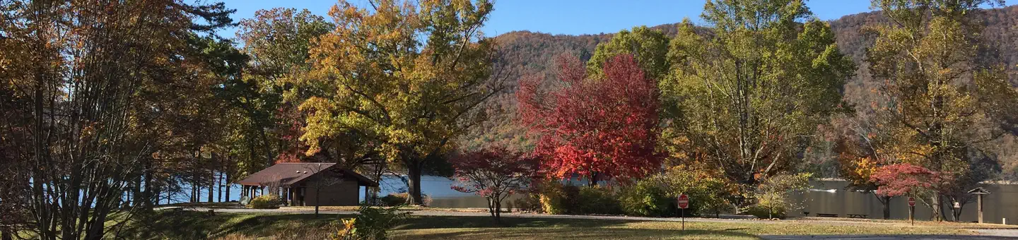
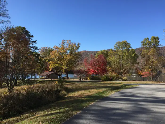
Watauga Point Recreation Area is open for the 2026 season. Watauga Point Recreation Area is located on the southern shore of Watauga Lake in Carter County. Large shade trees scattered throughout grassy areas provide a park setting for picnicking and sunbathing. In addition to picnic facilities, there is a lake and a gravel trail that loops through the nearby forest.
Recreation
Boaters, anglers, and picnickers all enjoy Watauga Point. There is a wooded trail on site as well.
Facilities
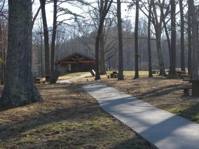
Watauga Point Recreation Area has one pavilion with electricity, a shady area, accessible flush toilets, and several other picnic tables and pedestal grills spread throughout. There are six picnic tables and two large grills at the pavilion. The shady area has five picnic tables and two grills. The pavilion and shady area are both reservable. Please make sure you are reserving the right thing (either the pavilion or the shady area) when making your reservation.
Natural Features
At more than 1,900 feet in elevation, Watauga is the highest reservoir in Tennessee. This scenic 6,400-acre reservoir is managed for flood management, power generation, aquatic ecology and recreation. Watauga Point overlooks the reservoir and the Big Laurel Branch Wilderness Area on the opposite shore.
Nearby Attractions
Both water-based and land-based recreation activities abound near Watauga Point Recreation Area. Forest Service facilities within three miles include Cardens Bluff Campground, Rat Branch Boat Ramp, and Pond Mountain Shooting Range.Contact Info
This location is unstaffed. To speak with our main office for general information, please call: (423) 735-1500.The facts
- 2 bookable sites
- 2 sites for day use only
- 1 accessible site
- Loops: WATAUGA POINT RECREATION AREA
Site types
- 2 Group Picnic Area
Amenities
- Grills
- Shade
- Pets allowed
Not recorded upstream: electric hookups, water hookups, sewer hookups, campfires allowed, fire pits, picnic tables.
2 campsites at Watauga Point Recreation Area
Check-in 10:00 AM · Check-out 8:00 PM
| Site | Loop | Type | Entry | Surface | Access | Water | Max rig | People | |
|---|---|---|---|---|---|---|---|---|---|
| Watauga Point Recreation Area - Pavilion | WATAUGA POINT RECREATION AREA | Group Picnic Area | — | — | Drive In | Lakefront | — | — | ♿ 🐾 |
| Watauga Point Recreation Area - Shady area | WATAUGA POINT RECREATION AREA | Group Picnic Area | — | — | Hike In | Lakefront | — | — | 🐾 |
Getting there
From Elizabethton, take US 19E/321 south for five miles to Hampton. Turn left on US 321/TN 67 south for six miles, then turn left into Watauga Point.
36.32083, -82.08556 · 36°19'15.0"N 82°5'8.0"W
Typical weather
Typically 86°F in Jul, down to 46°F in Jan.
| Jan | Feb | Mar | Apr | May | Jun | Jul | Aug | Sep | Oct | Nov | Dec | |
|---|---|---|---|---|---|---|---|---|---|---|---|---|
| High °F | 46 | 50 | 59 | 69 | 77 | 83 | 86 | 85 | 80 | 70 | 59 | 50 |
| Low °F | 26 | 28 | 34 | 42 | 52 | 60 | 64 | 62 | 56 | 44 | 33 | 29 |
| Precip in | 3.8 | 3.8 | 4.0 | 3.8 | 4.4 | 5.2 | 5.9 | 4.2 | 3.0 | 2.8 | 3.4 | 3.9 |
1991–2020 averages from the nearest NOAA station, 9.4 mi away — not measured at the facility itself, and elevation can make a real difference over that distance.
Map
More photos
Member photos
Common questions about Watauga Point Recreation Area
- Can you reserve a site at Watauga Point Recreation Area?
- Yes, Watauga Point Recreation Area is reservable through Recreation.gov.
- How many campsites does Watauga Point Recreation Area have?
- 2 sites.
- Are pets allowed at Watauga Point Recreation Area?
- Yes, pets are allowed at Watauga Point Recreation Area.
Camping near Watauga Point Recreation Area
- Cardens Bluff Campground 1.8 mi · Campground · we watch it
- Dennis Cove Campground 4.6 mi · Campground · we watch it
- The Laurels Picnic Area Pavilions 11.3 mi · Campground · we watch it
- Little Oak Campground 13.8 mi · Campground · we watch it
- Watauga Lake 1.7 mi · Facility
- Watauga Lake Area 5.9 mi · Facility
- Sycamore Shoals State Historic Park Visitor Center 9.4 mi · Visitor Center
- Roan Highlands 10.8 mi · Facility
- TN 91 Scenic Drive 11.5 mi · Facility
- Holston Mountain Area 11.9 mi · Facility
- Little Oak Campground 13.6 mi · Campground
- Carver's Gap 14.9 mi · Facility
Contact
- Phone 423-735-1500
- Book Recreation.gov
Recreation.gov last updated this record on 2026-08-08.
Facility information and photographs from Recreation.gov (RIDB). SpotOpened is not affiliated with Recreation.gov or any federal agency.
Comments