The Laurels Picnic Area Pavilions
Campground · Tennessee · 2 bookable sites ·
Managed by the USDA Forest Service
North Cherokee National Forest & Wildlife Management Area (National Forest/Wildlife Management Area) · Restricted Access
- 2
- Bookable sites
- 2,052 ft
- Elevation
Overview
The Laurels has been a popular area since the early days in East Tennessee. It was a common evening stopover for farmers from North Carolina taking produce to markets in Johnson City, TN. The site is named for the native Rhododendron that thrives in the area, locally called "laurel." The Civilian Conservation Corps helped construct the current facilities in the early 1930's. Today, it is a popular day-use area, providing a nice shady place for family picnics and group gatherings.
Recreation
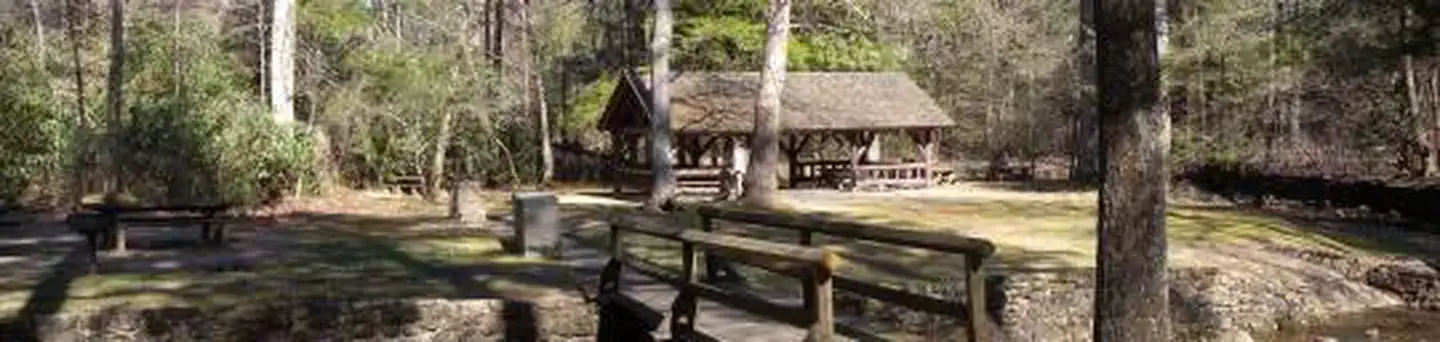
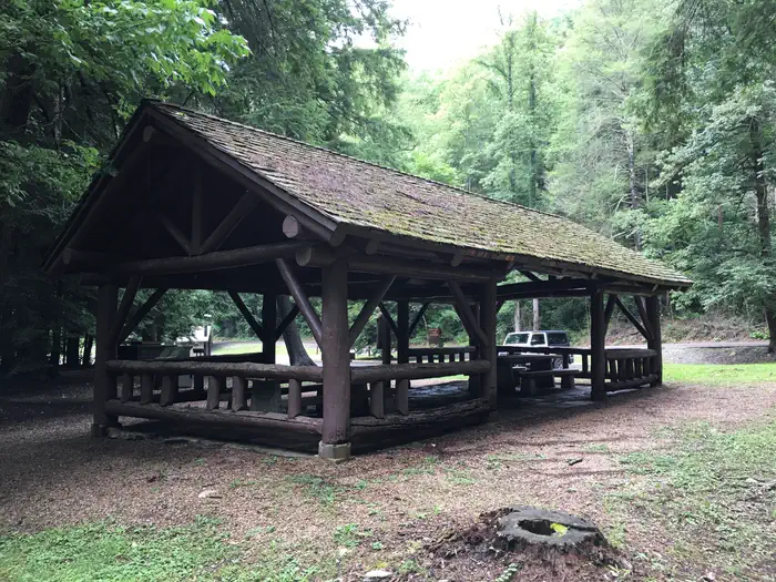
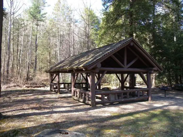
The Laurels has two pavilions, each with picnic tables and grills. An old foot path meanders through the nearby woods.Facilities
The Laurels includes two picnic pavilions, numerous tables, grills, a bear-proof dumpster, and connected by foot paths. There is a vault toilet on site. There is no potable water.
Natural Features
Honeycomb Creek flows through the picnic area and is enjoyed by kids of all ages on warm summer days.
Contact Info
This location is unstaffed. To speak with our main office for general information, please call: (423) 735-1500.The facts
- 2 bookable sites
- 2 sites for day use only
- Loops: THE LAURELS PICNIC AREA PAVILIONS
Site types
- 2 Group Picnic Area
Amenities
- Grills
- Shade
- Pets allowed
Not recorded upstream: electric hookups, water hookups, sewer hookups, campfires allowed, fire pits, picnic tables.
2 campsites at The Laurels Picnic Area Pavilions
Check-in 10:00 AM · Check-out 8:00 PM
| Site | Loop | Type | Entry | Surface | Access | Water | Max rig | People | |
|---|---|---|---|---|---|---|---|---|---|
| The Laurels Picnic Area - Pavilion #1 | THE LAURELS PICNIC AREA PAVILIONS | Group Picnic Area | — | — | Drive In | Riverfront | — | — | 🐾 |
| The Laurels Picnic Area - Pavilion #2 | THE LAURELS PICNIC AREA PAVILIONS | Group Picnic Area | — | — | Hike In | Riverfront | — | — | 🐾 |
Getting there
The Laurels is located on TN Hwy 361 near Sciota Road in Carter County.
From Johnson City, take I-26 E to Okalona exit. Turn left, drive under I-26 to TN 359. Turn right onto TN 359. Travel 1.4 miles, then turn right onto TN 361 for 3.7 miles to The Laurels.
36.24886, -82.26833 · 36°14'55.9"N 82°16'6.0"W
Typical weather
| Jan | Feb | Mar | Apr | May | Jun | Jul | Aug | Sep | Oct | Nov | Dec | |
|---|---|---|---|---|---|---|---|---|---|---|---|---|
| High °F | — | — | — | — | — | — | — | — | — | — | — | — |
| Low °F | — | — | — | — | — | — | — | — | — | — | — | — |
| Precip in | 3.9 | 3.8 | 5.3 | 4.9 | 4.8 | 5.5 | 6.2 | 4.7 | 3.7 | 2.9 | 3.7 | 4.4 |
1991–2020 averages from the nearest NOAA station, 5.4 mi away — not measured at the facility itself, and elevation can make a real difference over that distance.
Map
More photos
Member photos
Common questions about The Laurels Picnic Area Pavilions
- Can you reserve a site at The Laurels Picnic Area Pavilions?
- Yes, The Laurels Picnic Area Pavilions is reservable through Recreation.gov.
- How many campsites does The Laurels Picnic Area Pavilions have?
- 2 sites.
- Are pets allowed at The Laurels Picnic Area Pavilions?
- Yes, pets are allowed at The Laurels Picnic Area Pavilions.
Camping near The Laurels Picnic Area Pavilions
- Dennis Cove Campground 8.8 mi · Campground · we watch it
- Rock Creek Recreation Area (Cherokee National Forest, TN) 8.9 mi · Campground · we watch it
- Cardens Bluff Campground 9.5 mi · Campground · we watch it
- Watauga Point Recreation Area 11.3 mi · Campground · we watch it
- Pinnacle Tower Hike 5.5 mi · Facility
- Unaka Mountains 6.2 mi · Facility
- Sycamore Shoals State Historic Park Visitor Center 6.6 mi · Visitor Center
- Erwin National Fish Hatchery 8.6 mi · Facility
- Roan Highlands 9.6 mi · Facility
- Unaka Mountain Scenic Drive 10.6 mi · Facility
- International Storytelling Center 11.9 mi · Facility
- Watauga Lake 13.1 mi · Facility
Contact
- Phone 423-735-1500
- Book Recreation.gov
Recreation.gov last updated this record on 2026-03-19.
Facility information and photographs from Recreation.gov (RIDB). SpotOpened is not affiliated with Recreation.gov or any federal agency.
Comments