Woodrat Mountain Paragliding
Facility · Oregon ·
Managed by the Bureau of Land Management
Medford Ashland Field Office (Bureau of Land Management OR) · Open Access
- 3,805 ft
- Elevation
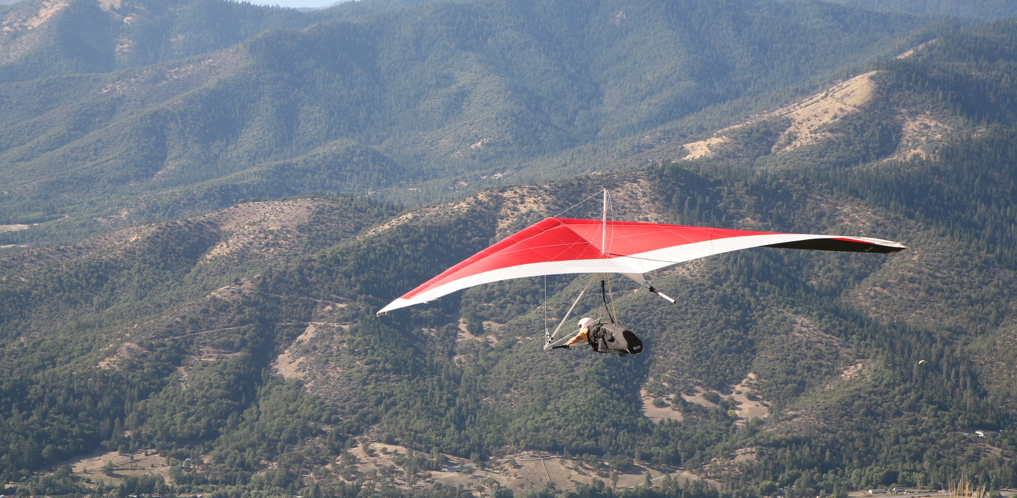
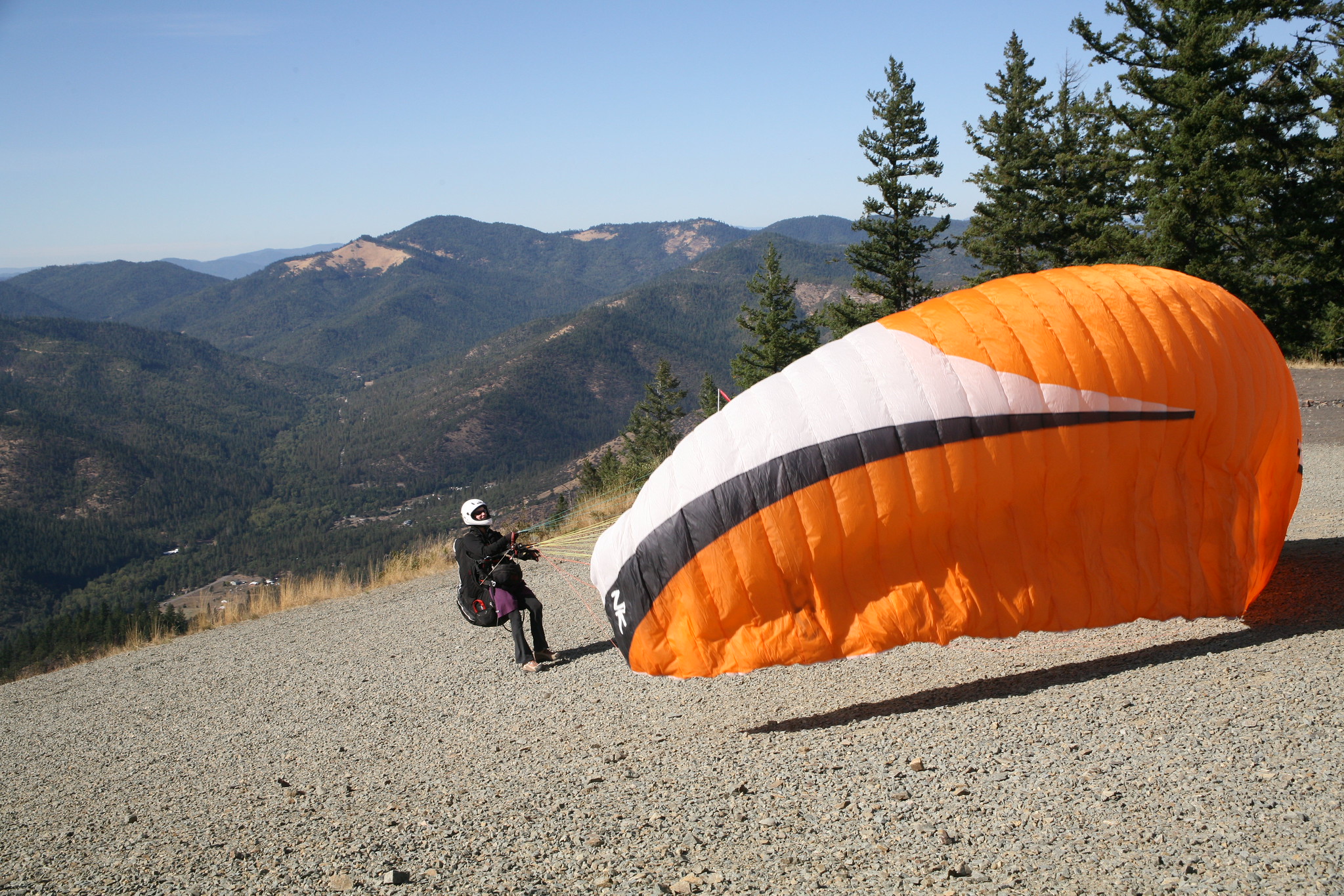
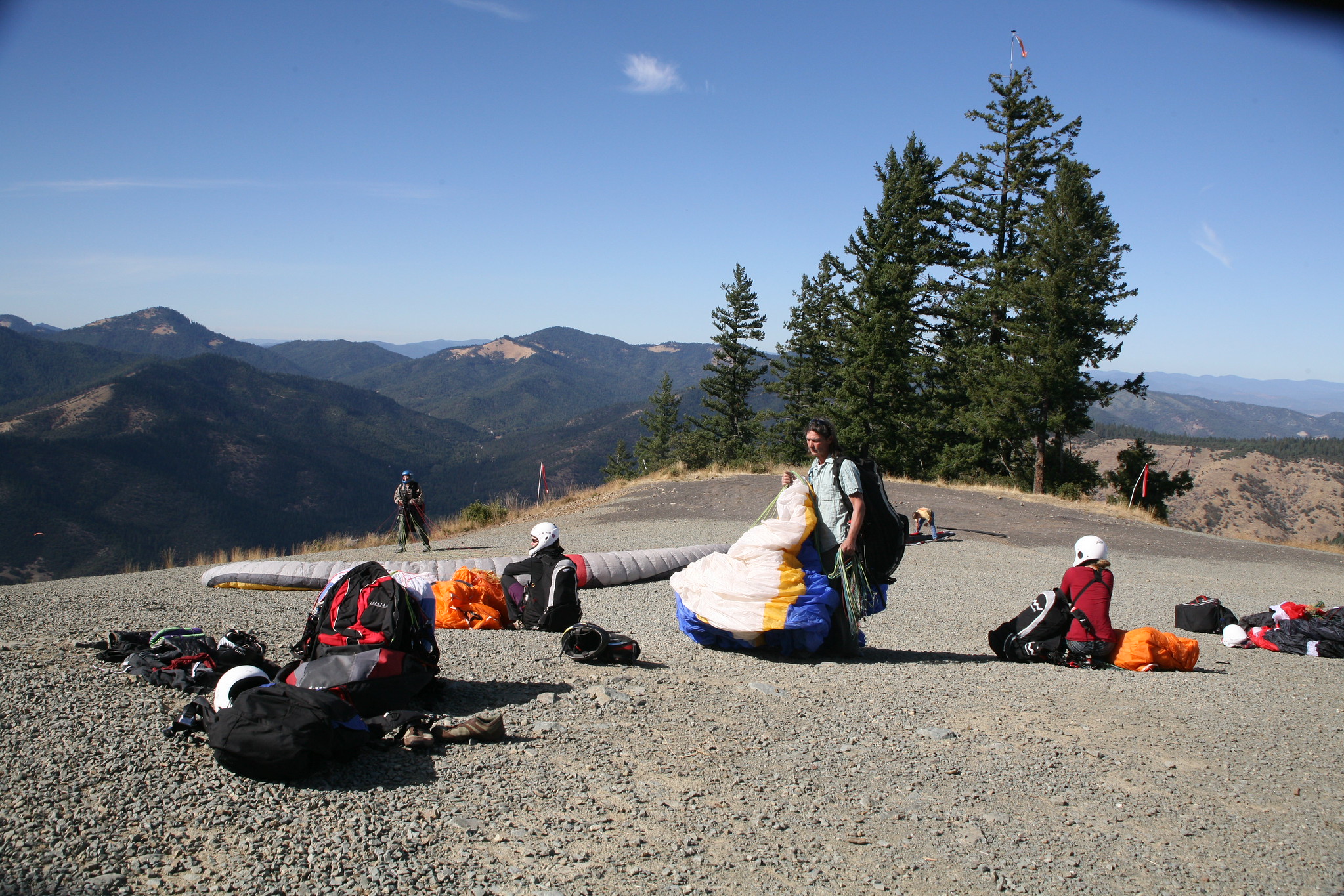
Woodrat Mountain has world class launch sites for hang and paragliding. The two sites, mid and upper launch, are accessible for passenger vehicles and offer spectacular views and opportunities to launch. The mid launch site overlooks the Bishop Creek Drainage and does not have a restroom. The upper launch has a permanent concrete restroom, wind sock, and sweeping views of much of the Applegate Valley. During the warmer summer months, both launch sites can be quite busy.
Know Before You Go
- Woodrat Mountain launch sites are open year round, but during the winter the road to the upper launch can be covered with snow, drivers should use caution.
- Bishop Creek Road provides access to mid launch.
- Woodrat Mountain Road provides access to the upper launch.
- Pets are allowed and must be leashed (max. 6 feet) in the parking lot. Please dispose all pet waste in trash receptacles.
- Target shooting is strictly prohibited.
Point of Interest
Use caution when traveling the gravel roads leading to the sites. Roads can be rough and drivers should look for oncoming traffic at corners due to dense vegetation leading to the sites.
Getting there
The mid launch can be accessed via Bishop Creek Rd, just east of the town of Ruch, off of Hwy 238. The upper launch can be accessed via Woodrat Mountain Rd, off of Sterling Creek Rd, approximately 6 miles south of the town of Jacksonville.
42.23106, -123.00385 · 42°13'51.8"N 123°0'13.9"W
Typical weather
Typically 92°F in Jul, down to 49°F in Dec.
| Jan | Feb | Mar | Apr | May | Jun | Jul | Aug | Sep | Oct | Nov | Dec | |
|---|---|---|---|---|---|---|---|---|---|---|---|---|
| High °F | 50 | 55 | 60 | 65 | 75 | 82 | 92 | 91 | 85 | 72 | 56 | 49 |
| Low °F | 30 | 31 | 33 | 36 | 42 | 47 | 52 | 51 | 45 | 38 | 33 | 30 |
| Precip in | 4.4 | 3.0 | 3.0 | 2.1 | 1.4 | 0.7 | 0.5 | 0.4 | 0.6 | 2.3 | 3.9 | 5.1 |
1991–2020 averages from the nearest NOAA station, 2.3 mi away — not measured at the facility itself, and elevation can make a real difference over that distance.
Map
Fees and stay limits
No Fees.
From Recreation.gov, which is not always current. The operator's own page is the authority on what you will be charged.
More photos
Member photos
Common questions about Woodrat Mountain Paragliding
- Can you reserve a site at Woodrat Mountain Paragliding?
- No. Woodrat Mountain Paragliding is not reservable through Recreation.gov, so sites are first-come, first-served or booked elsewhere.
Camping near Woodrat Mountain Paragliding
- McKee Bridge Community Kitchen 8.1 mi · Campground · we watch it
- Beaver Sulphur Group Campground 8.3 mi · Campground · we watch it
- Flumet Flat Group Campground 9 mi · Campground · we watch it
- Jackson Campground on the Applegate River 9.1 mi · Campground · we watch it
- Acorn Woman Lakes 9.7 mi · Campground · we watch it
- Acorn Woman Peak Lookout 11.2 mi · Campground · we watch it
- HART-TISH PARK at APPLEGATE LAKE 13.4 mi · Campground · we watch it
- Sterling Mine Ditch Trail/ACEC 3.9 mi · Facility
- Jackson Campground 9.1 mi · Campground
- Provolt Recreation Site 12.3 mi · Facility
- Acorn Woman Lakes Campground 13.6 mi · Campground
- Hart-tish Campground 13.9 mi · Campground
Contact
- Phone 541-618-2200
- Email BLM_OR_MD_Mail@blm.gov
- Info Recreation.gov
Recreation.gov last updated this record on 2026-06-15.
Facility information and photographs from Recreation.gov (RIDB). SpotOpened is not affiliated with Recreation.gov or any federal agency.
Comments