Flumet Flat Group Campground
Campground · Oregon · 1 bookable site ·
Managed by the USDA Forest Service
Applegate River (Eligible - Recreational) · Open Access
- 1
- Bookable site
- up to 50
- People per site
- 1,645 ft
- Elevation
Overview
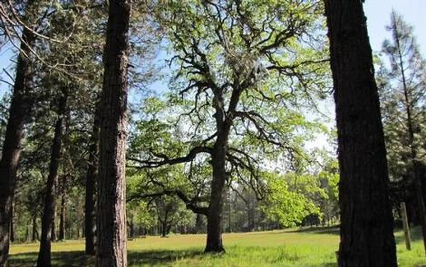
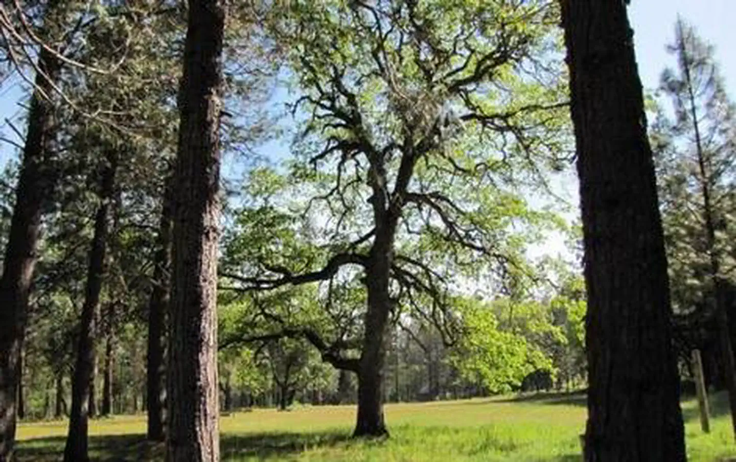
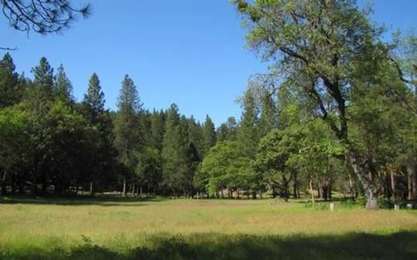
The large meadow at the Flumet Flat Group Campground makes a great location for group events such as reunions, church camps, school field trips and scouting events. Located in southwest Oregon in the Rogue River-Siskiyou National Forest, the campground's proximity to a hiking trails and scenic waterways provides visitors with access to a multitude of recreational activities.Recreation
Flumet Flat Group Campground offers outdoor enthusiasts the opportunity to hike, fish, hunt and enjoy a multitude of outdoor activities throughout the year. A handful of hiking trails are accessible from the campground and in the surrounding areas. The nearby Mule Mountain Trail offers a special opportunity to access the hillsides above Applegate Valley and witness the seasonal changes in wildlife activity. It is a long-distance hike, winding up and around the arid ridges of the Oregon Siskiyous. In the spring, dwarf star tulips, lilies, shooting stars, larkspurs and buttercups puncture the needle and leaf mat and adorn the grass floor. Nearby Applegate Lake is a popular recreation lake, located north of the spectacular Red Buttes Wilderness Area. The lake is popular for swimming, boating, canoeing, and fishing. In the area around the lake, visitors can enjoy cycling and hiking the various trails.Facilities
Flumet Flat Group Campground offers a large, reservable group site that has individual spurs for tents and trailers. The site is equipped with picnic tables, campfire rings and a vault toilet. No water or electricity is available at the site.Natural Features
Within a short walking distance, there are swimming and fishing areas on the Applegate River. The Gin Lin National Recreation Trail, with a self-guided tour of 19th century mining, is located just south of Flumet Flat. It offers a 3/4 mile loop with trail markers that correspond to the information in the brochure. History, spring wildflowers, wildlife, and a view looking down on the Applegate River make this a popular year-round attraction. Beware of rattlesnakes and ticks, which commonly occur in the Applegate Valley.Nearby Attractions
The United States Congress designated the Red Buttes Wilderness in 1984 and it now includes a total of 19,940 acres. Management of the Red Buttes Wilderness, located on the California/Oregon border, is shared by the Klamath National Forest and the Rogue River - Siskiyou National Forest. The majority of the Wilderness lies within the boundaries of the Rogue River-Siskiyou National Forest. Several lakes are accessible in the forest. Squaw Peak looks south to Squaw Lakes, a semi-primitive developed recreation area that accepts camping reservations from May through September. Applegate lake is a large reservoir with boat ramps, campgrounds, viewpoints and a developed recreation area named Hart tish. Both Squaw Lakes and Applegate lake are open for fishing year-round.The facts
- 1 bookable site
- Up to 50 people per site
- Loops: FLUMET FLAT GROUP CAMPGROUND
Site types
- 1 Group Standard Area Nonelectric
Amenities
- Campfires allowed
- Fire pits
- Picnic tables
- Shade
- Pets allowed
Not recorded upstream: electric hookups, water hookups, sewer hookups, grills.
1 campsite at Flumet Flat Group Campground
Check-in 1:00 PM · Check-out 12:00 PM
| Site | Loop | Type | Entry | Surface | Grade | Water | Max rig | People | |
|---|---|---|---|---|---|---|---|---|---|
| Flumet Flat | FLUMET FLAT GROUP CAMPGROUND | Group Standard Area Nonelectric | Back In | Paved | Slight | Riverfront | — | 50 | 🐾 |
Getting there
From Jacksonville, OR, travel west on Highway 238 for 8 miles to Ruch, OR. Turn left onto Upper Applegate Road and travel 9.6 miles to Palmer Creek Road. Turn right on to Palmer Creek Road, and travel 0.5 mile to the Flumet Flat Group Campground, entrance on the right.
42.11699, -123.08739 · 42°7'1.2"N 123°5'14.6"W
Typical weather
| Jan | Feb | Mar | Apr | May | Jun | Jul | Aug | Sep | Oct | Nov | Dec | |
|---|---|---|---|---|---|---|---|---|---|---|---|---|
| High °F | — | — | — | — | — | — | — | — | — | — | — | — |
| Low °F | — | — | — | — | — | — | — | — | — | — | — | — |
| Precip in | 3.9 | 3.2 | 2.6 | 2.1 | 1.6 | 0.8 | 0.4 | 0.4 | 0.6 | 1.9 | 3.3 | 5.2 |
1991–2020 averages from the nearest NOAA station, 6.1 mi away — not measured at the facility itself, and elevation can make a real difference over that distance.
Map
More photos
Member photos
Common questions about Flumet Flat Group Campground
- Can you reserve a site at Flumet Flat Group Campground?
- Yes, Flumet Flat Group Campground is reservable through Recreation.gov.
- How many campsites does Flumet Flat Group Campground have?
- 1 site.
- Are pets allowed at Flumet Flat Group Campground?
- Yes, pets are allowed at Flumet Flat Group Campground.
- Are campfires allowed at Flumet Flat Group Campground?
- Campfires are allowed at Flumet Flat Group Campground. Check for a current fire restriction before you go.
Camping near Flumet Flat Group Campground
- Jackson Campground on the Applegate River 0.2 mi · Campground · we watch it
- McKee Bridge Community Kitchen 1 mi · Campground · we watch it
- Acorn Woman Lakes 2 mi · Campground · we watch it
- Beaver Sulphur Group Campground 2.8 mi · Campground · we watch it
- HART-TISH PARK at APPLEGATE LAKE 4.5 mi · Campground · we watch it
- Acorn Woman Peak Lookout 5.1 mi · Campground · we watch it
- Jackson Campground 0.2 mi · Campground
- Hart-tish Campground 5 mi · Campground
- Dagelma Trailhead 5.2 mi · Facility
- Harr Point Campground 5.8 mi · Campground
- Tipsu Tyee Campground 6 mi · Campground
- Acorn Woman Lakes Campground 6.5 mi · Campground
Contact
- Phone 541-899-3800
- Book Recreation.gov
Recreation.gov last updated this record on 2026-02-25.
Facility information and photographs from Recreation.gov (RIDB). SpotOpened is not affiliated with Recreation.gov or any federal agency.
Comments