Provolt Recreation Site
Facility · Oregon ·
Managed by the Bureau of Land Management
Medford Grants Pass Field Office (Bureau of Land Management OR) · Open Access
- 1,182 ft
- Elevation
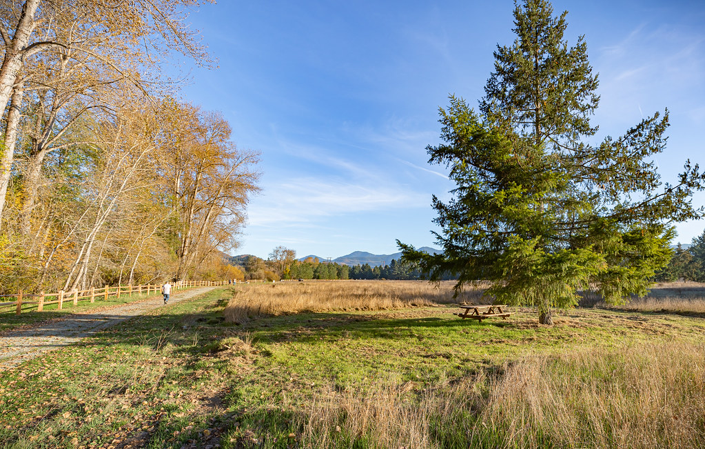
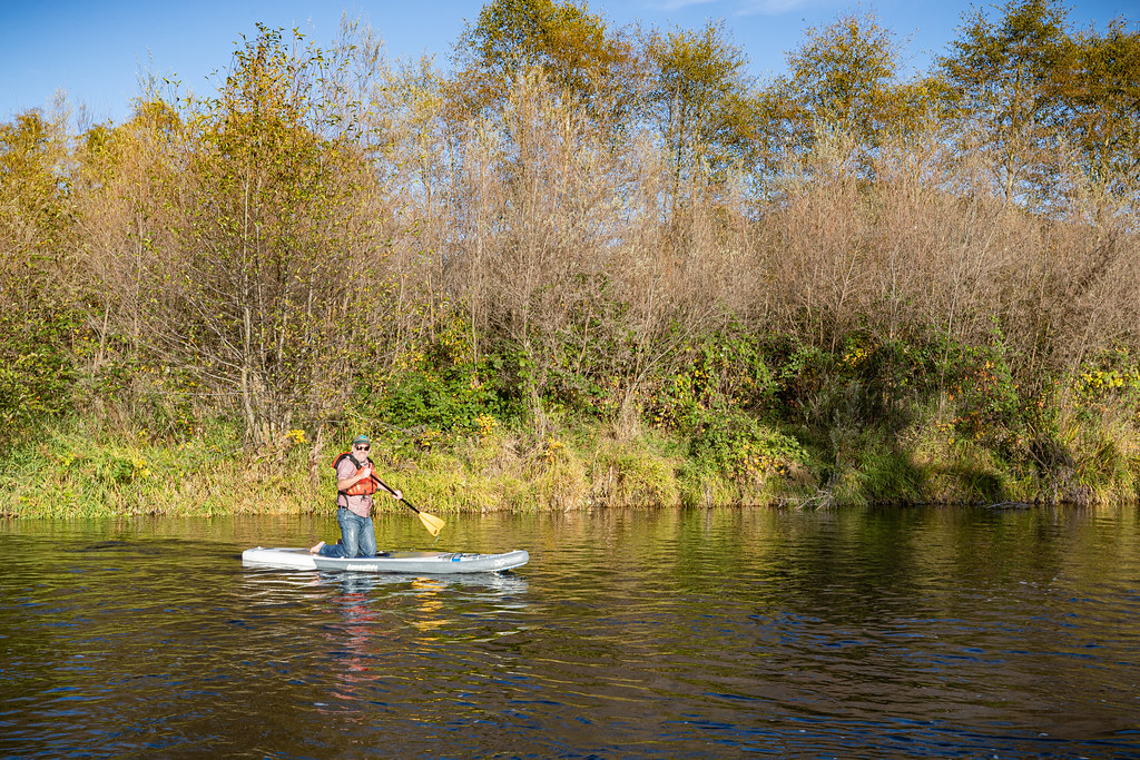
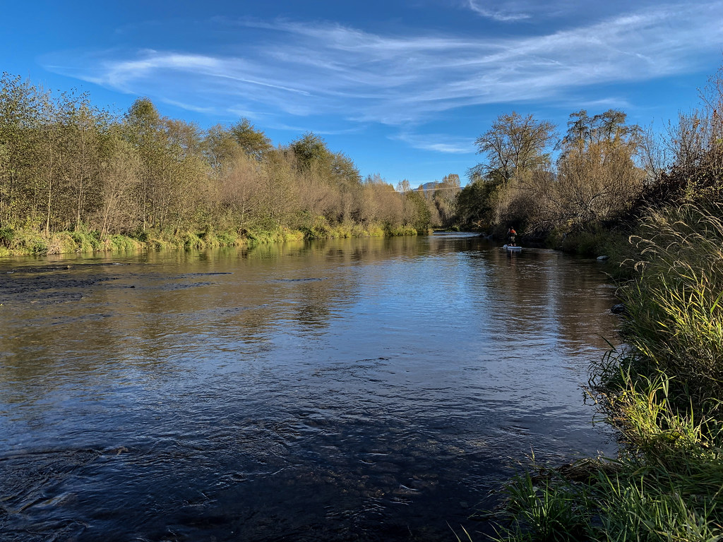
What was once a seed orchard is now a unique place to discover Oregon’s heritage! Whether hiking, biking or horseback riding along the trails that crisscross the landscape, or paddling along the Applegate River, the Douglas-fir stands, whose seeds were once used for reforestation, tell the unique story of Oregon’s timber history.
Know Before You Go
- Provolt is a day-use only site, open 7 days a week.
- Open daily:
- 7:00am (April-September)
- 7:30am (October-March)
- Gate closes at sunset.
- On-site volunteer host.
- Dog friendly, but they must be leashed.
- No drinking water.
- Visitors are asked to respect the private property boundaries surrounding the area and avoid areas that indicate “Restoration in Progress.”
- Area is closed to campfires and shooting.
Point of Interest
Near the Provolt is the confluence of Williams Creek and the Applegate River that provides flat and meandering river flows that are ideal for spawning fish like Coho and Chinook salmon. Pacific Lamprey can also be found in this area.
Getting there
From Grants Pass, Oregon: Drive 15 miles southeast on Highway 238 to 14171 Williams Hwy. Public access to land between Williams Creek, Applegate River, and Hwy 238.
42.28861, -123.23097 · 42°17'19.0"N 123°13'51.5"W
Typical weather
| Jan | Feb | Mar | Apr | May | Jun | Jul | Aug | Sep | Oct | Nov | Dec | |
|---|---|---|---|---|---|---|---|---|---|---|---|---|
| High °F | — | — | — | — | — | — | — | — | — | — | — | — |
| Low °F | — | — | — | — | — | — | — | — | — | — | — | — |
| Precip in | 4.4 | 2.9 | 3.1 | 2.2 | 1.3 | 0.8 | 0.3 | 0.2 | 0.5 | 1.7 | 3.8 | 5.3 |
1991–2020 averages from the nearest NOAA station, 4.1 mi away — not measured at the facility itself, and elevation can make a real difference over that distance.
Map
Fees and stay limits
No fees.
Stay limit: Day-use only.
From Recreation.gov, which is not always current. The operator's own page is the authority on what you will be charged.
More photos
Member photos
Common questions about Provolt Recreation Site
- Can you reserve a site at Provolt Recreation Site?
- No. Provolt Recreation Site is not reservable through Recreation.gov, so sites are first-come, first-served or booked elsewhere.
- How long can you stay at Provolt Recreation Site?
- Day-use only.
Camping near Provolt Recreation Site
- Acorn Woman Lakes 12.7 mi · Campground · we watch it
- McKee Bridge Community Kitchen 13.8 mi · Campground · we watch it
- Flumet Flat Group Campground 14 mi · Campground · we watch it
- Jackson Campground on the Applegate River 14.1 mi · Campground · we watch it
- Chinquapin Group Campground 15.4 mi · Campground · we watch it
- Beaver Sulphur Group Campground 15.8 mi · Campground · we watch it
- Oregon Caves National Monument and Preserve Tours 16.1 mi · Tickets · we watch it
- Woodrat Mountain Paragliding 12.3 mi · Facility
- Jackson Campground 14.1 mi · Campground
- Grayback Campground 15.4 mi · Campground
- Sterling Mine Ditch Trail/ACEC 15.5 mi · Facility
- Hart-tish Campground 17.1 mi · Campground
Contact
- Phone 541-471-6500
- Email BLM_OR_MD_Mail@blm.gov
- Info Recreation.gov
Recreation.gov last updated this record on 2026-05-28.
Facility information and photographs from Recreation.gov (RIDB). SpotOpened is not affiliated with Recreation.gov or any federal agency.
Comments