Sterling Mine Ditch Trail/ACEC
Facility · Oregon ·
Managed by the Bureau of Land Management
- 2,165 ft
- Elevation
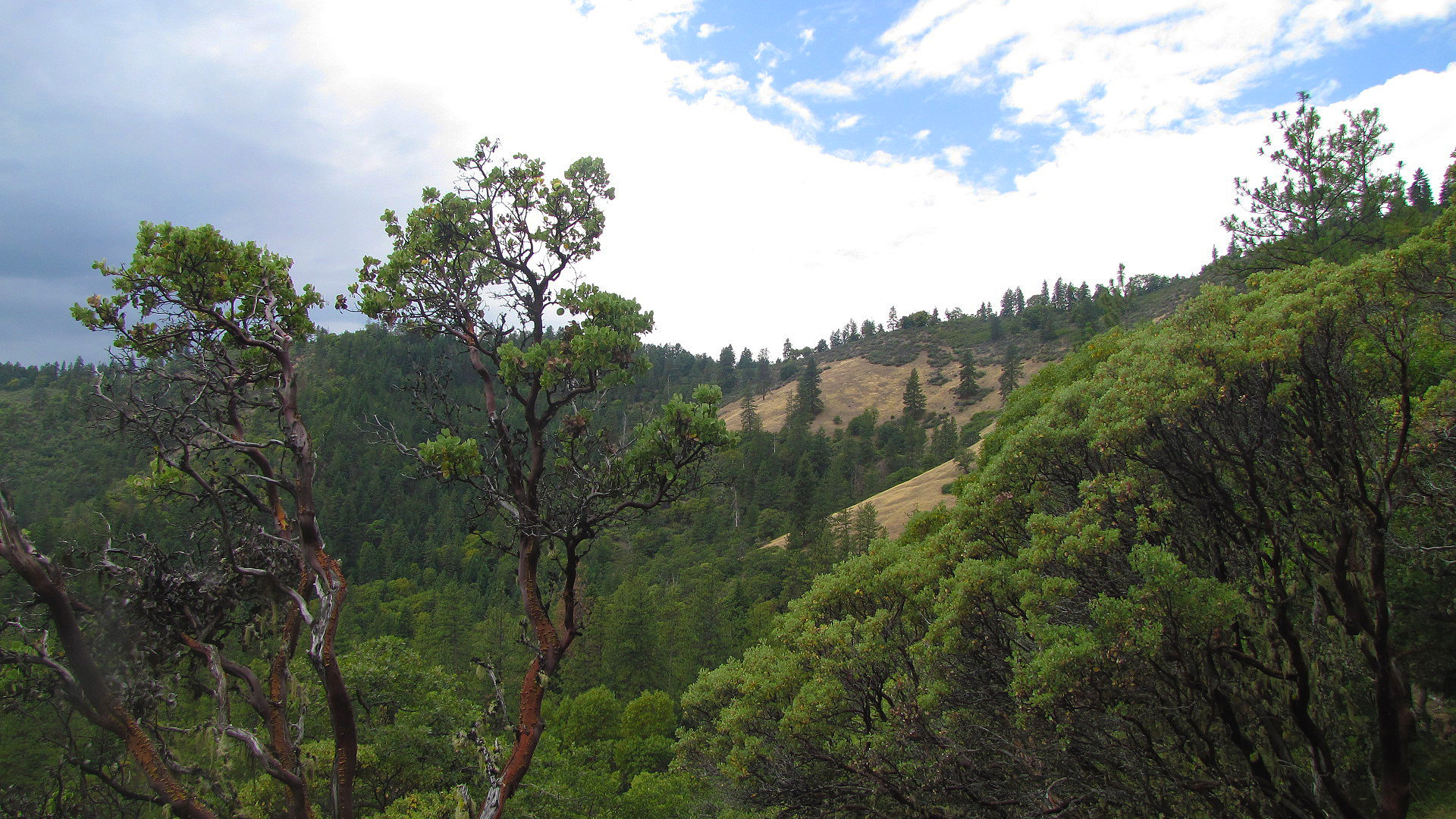
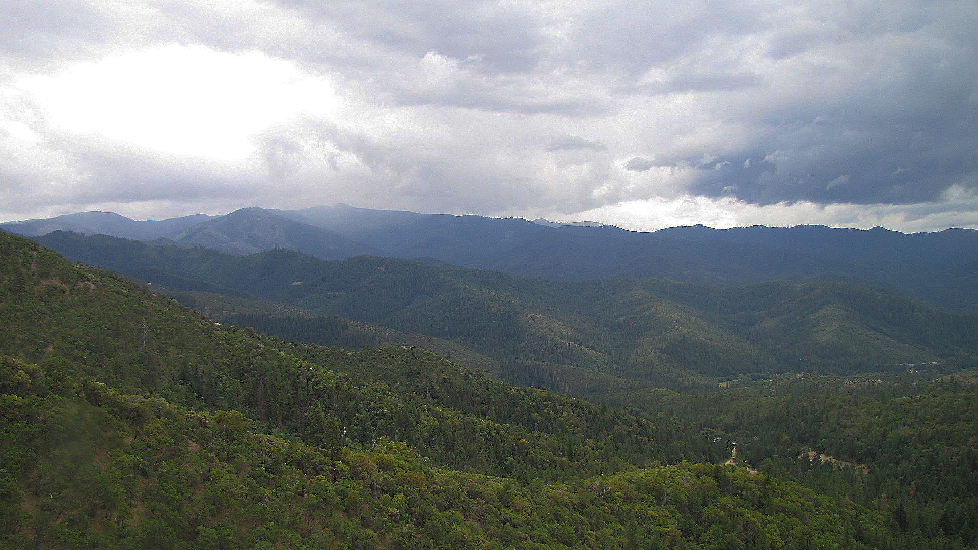
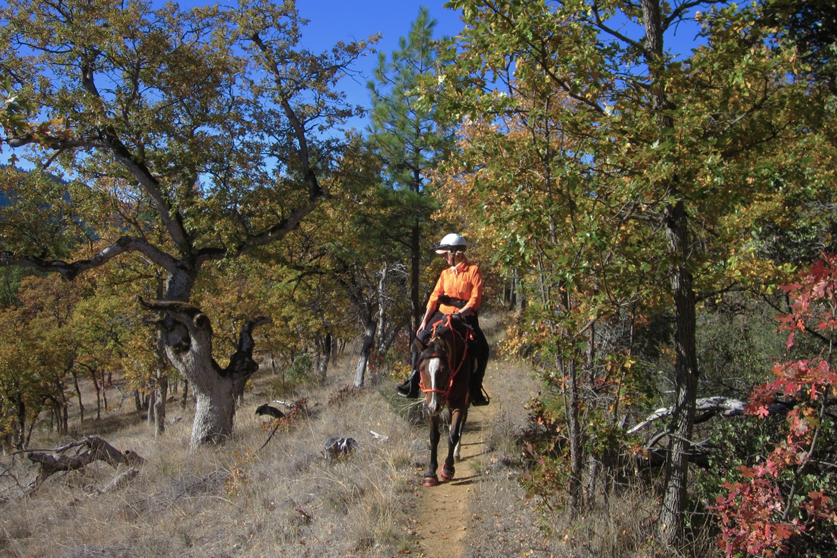
Take a trip back in time on the historic Sterling Mine Ditch Trail. The ditch carried water from the Little Applegate River to operate hydraulic giants used on Sterling Creek for gold mining. Construction of the 26.5-mile-long ditch in 1877 employed up to 400 workers, many of them Chinese laborers. Today, the ditch is used by hikers, trail runners, equestrians, and mountain bikers of all ages and abilities. The trail passes through oak and ponderosa pine woods, madrone groves, fir forests, and open grassy areas with excellent views of the mountains and Little Applegate River. The spring wildflower show is spectacular!
Know Before You Go
- Open year-round for hikers and trail runners. Equestrians and mountain bikers should avoid using the trail after significant rains. Wolf Gap trailhead is closed to mountain bikes year-round.
- Day-use only.
- Seven trailheads allow for trips of various lengths.
- Restrooms and water are not available; carry your own water.
- Dogs are allowed and must be under control.
- Respect private property and stay on trails.
- Watch for ticks, poison oak, rattlesnakes, and other trail users.
Point of Interest
The trail is maintained with help from the Siskiyou Upland Trails Association (SUTA) and community volunteers.
Getting there
From Jacksonville, Oregon: Follow Highway 238 for 7.6 miles; turn left on Upper Applegate Road. After 2.8 miles, turn left on Little Applegate Road. Drive 3 miles to intersection with Sterling Creek Road. To access the Bear Gulch, Tunnel Ridge, and Little Applegate trailheads, continue on Little Applegate Road. To access the Grub Gulch, Deming Gulch, Armstrong Gulch, and Wolf Gap trailheads, turn left on Sterling Creek Road.
42.18472, -122.96161 · 42°11'5.0"N 122°57'41.8"W
Typical weather
| Jan | Feb | Mar | Apr | May | Jun | Jul | Aug | Sep | Oct | Nov | Dec | |
|---|---|---|---|---|---|---|---|---|---|---|---|---|
| High °F | — | — | — | — | — | — | — | — | — | — | — | — |
| Low °F | — | — | — | — | — | — | — | — | — | — | — | — |
| Precip in | 3.4 | 2.8 | 2.5 | 2.0 | 1.5 | 0.8 | 0.4 | 0.5 | 0.5 | 1.6 | 3.0 | 4.7 |
1991–2020 averages from the nearest NOAA station, 1.3 mi away — not measured at the facility itself, and elevation can make a real difference over that distance.
Map
Fees and stay limits
No Fees.
Stay limit: 14 Days.
From Recreation.gov, which is not always current. The operator's own page is the authority on what you will be charged.
More photos
Member photos
Common questions about Sterling Mine Ditch Trail/ACEC
- Can you reserve a site at Sterling Mine Ditch Trail/ACEC?
- No. Sterling Mine Ditch Trail/ACEC is not reservable through Recreation.gov, so sites are first-come, first-served or booked elsewhere.
- How long can you stay at Sterling Mine Ditch Trail/ACEC?
- 14 Days.
Camping near Sterling Mine Ditch Trail/ACEC
- Beaver Sulphur Group Campground 6.2 mi · Campground · we watch it
- McKee Bridge Community Kitchen 7 mi · Campground · we watch it
- Flumet Flat Group Campground 8 mi · Campground · we watch it
- Jackson Campground on the Applegate River 8.1 mi · Campground · we watch it
- Acorn Woman Peak Lookout 8.4 mi · Campground · we watch it
- Acorn Woman Lakes 9.4 mi · Campground · we watch it
- HART-TISH PARK at APPLEGATE LAKE 11.9 mi · Campground · we watch it
- Woodrat Mountain Paragliding 3.9 mi · Facility
- Jackson Campground 8.1 mi · Campground
- Wrangle Campground 10.8 mi · Campground
- Acorn Woman Lakes Campground 10.8 mi · Campground
- Dagelma Trailhead 12.4 mi · Facility
Contact
- Phone 541-618-2200
- Email BLM_OR_MD_Mail@blm.gov
- Info Recreation.gov
Recreation.gov last updated this record on 2026-06-10.
Facility information and photographs from Recreation.gov (RIDB). SpotOpened is not affiliated with Recreation.gov or any federal agency.
Comments