Rock Creek Recreation Site
Facility · Oregon ·
Managed by the Bureau of Land Management
Roseburg District Swiftwater Field Office (Bureau of Land Management OR) · Open Access
- 1,132 ft
- Elevation
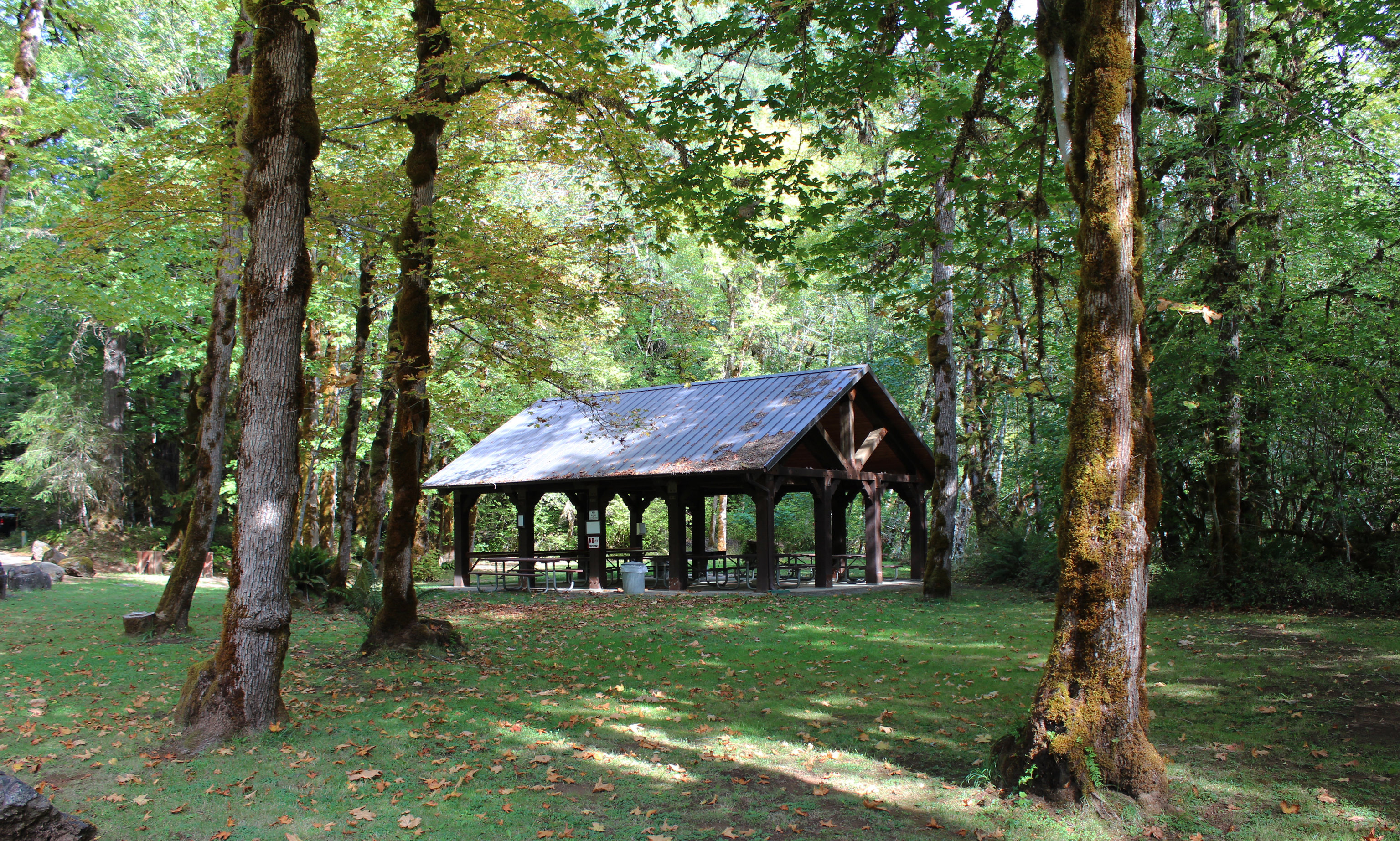
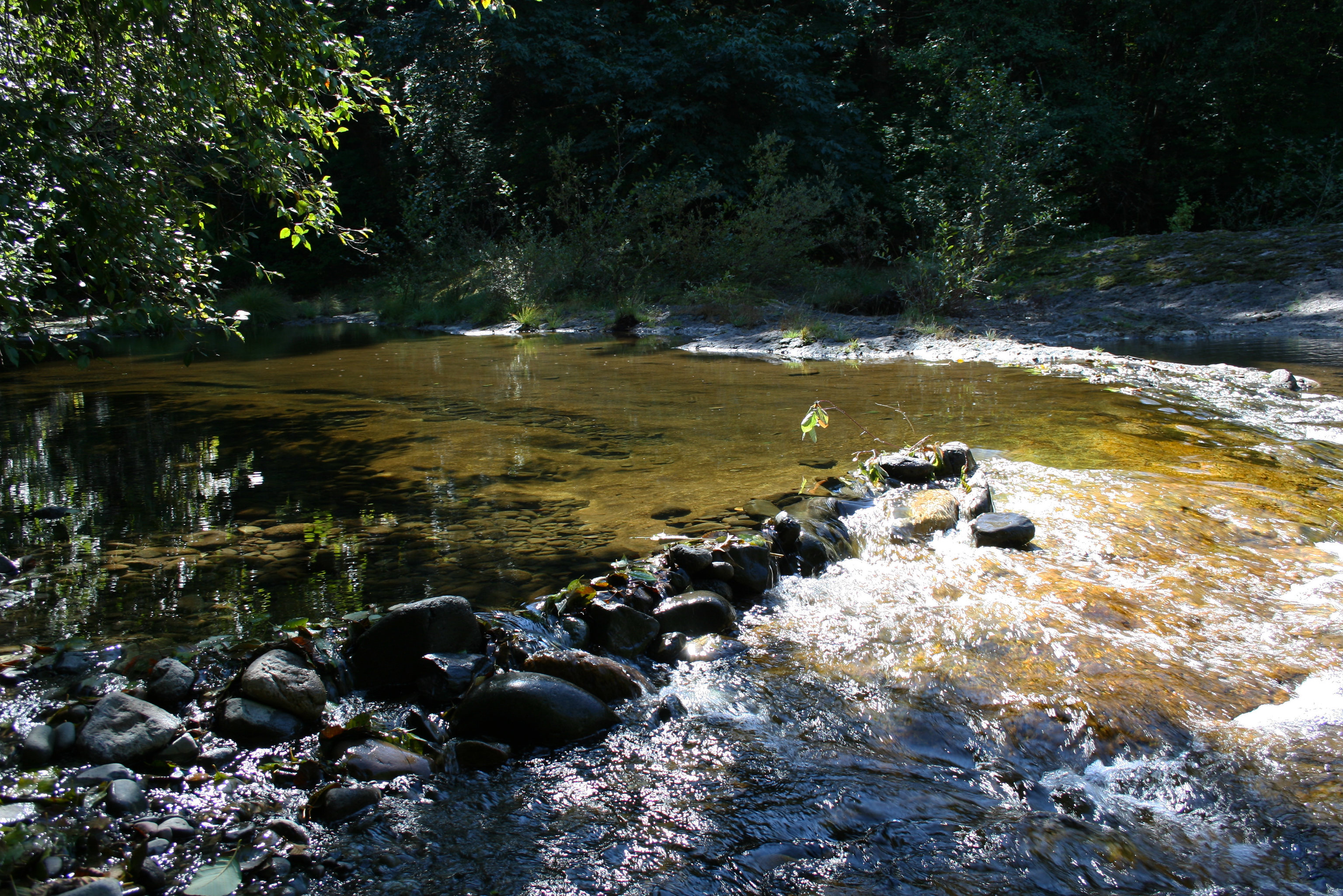
Discover this secluded, fully accessible 17-site campground along the forested banks of Rock Creek where visitors can picnic, swim, or nap in the shade. Rock Creek also features a reservable day use pavilion, horseshoe pits, and a volleyball court. Rock Creek is also a great spot to see migrating and spawning salmon. Located about seven miles from the North Umpqua River corridor, this site allows easy access to the fishing, mountain biking, and hiking opportunities found in the corridor.
Know Before You Go
- To reserve the pavilion, visit www.recreation.gov or call 1-877-444-6777.
- Firewood bundles are available for purchase.
- Open late-May through late-September.
- Pets are allowed in the campground, but must be kept on a 6-foot or shorter leash. They are not allowed in the swimming areas.
Point of Interest
Across the creek, an active bald eagle nest is visible from the campground. Watch for the majestic birds soaring above the creek looking for a meal!
Getting there
22 miles east of Roseburg (1 miles east of Idleyld Park), turn left off of Highway 138 onto Rock Creek Road. Travel 7 miles to reach Rock Creek Recreation Site, located on the right.
43.39794, -122.92818 · 43°23'52.6"N 122°55'41.4"W
Typical weather
Typically 84°F in Jul, down to 44°F in Dec.
| Jan | Feb | Mar | Apr | May | Jun | Jul | Aug | Sep | Oct | Nov | Dec | |
|---|---|---|---|---|---|---|---|---|---|---|---|---|
| High °F | 46 | 50 | 56 | 62 | 70 | 75 | 84 | 84 | 78 | 64 | 51 | 44 |
| Low °F | 34 | 35 | 36 | 39 | 43 | 47 | 51 | 50 | 46 | 41 | 38 | 33 |
| Precip in | 8.7 | 6.1 | 7.0 | 5.6 | 3.7 | 1.9 | 0.5 | 0.5 | 1.6 | 5.0 | 9.3 | 10.7 |
1991–2020 averages from the nearest NOAA station, 2.6 mi away — not measured at the facility itself, and elevation can make a real difference over that distance.
Map
Fees and stay limits
Contact the field office for more information about fees and permits.
From Recreation.gov, which is not always current. The operator's own page is the authority on what you will be charged.
More photos
Member photos
Common questions about Rock Creek Recreation Site
- Can you reserve a site at Rock Creek Recreation Site?
- No. Rock Creek Recreation Site is not reservable through Recreation.gov, so sites are first-come, first-served or booked elsewhere.
Camping near Rock Creek Recreation Site
- Rock Creek Pavilion 0.1 mi · Campground · we watch it
- Lone Pine Group Campground 1.3 mi · Campground · we watch it
- Millpond Pavilion 1.5 mi · Campground · we watch it
- Millpond Recreation Site 1.6 mi · Campground · we watch it
- Susan Creek Campground 7.2 mi · Campground · we watch it
- Bogus Creek Campground 8.2 mi · Campground · we watch it
- Scaredman Recreation Site 8.5 mi · Campground · we watch it
- Canton Creek Campground 10.5 mi · Campground · we watch it
- Steamboat Ball Field Group Site 10.8 mi · Campground · we watch it
- Wolf Creek Group Site 11 mi · Campground · we watch it
- Steamboat Inn 10.1 mi · Facility
- Island Campground 11 mi · Campground
Contact
- Phone 541-440-4930
- Email BLM_OR_RB_Mail@blm.gov
- Info Recreation.gov
Recreation.gov last updated this record on 2026-04-29.
Facility information and photographs from Recreation.gov (RIDB). SpotOpened is not affiliated with Recreation.gov or any federal agency.
Comments