Millpond Pavilion
Campground · Oregon · 1 bookable site ·
Managed by the Bureau of Land Management
Roseburg District Swiftwater Field Office (Bureau of Land Management OR) · Open Access
- 1
- Bookable site
- up to 200
- People per site
- 1,062 ft
- Elevation
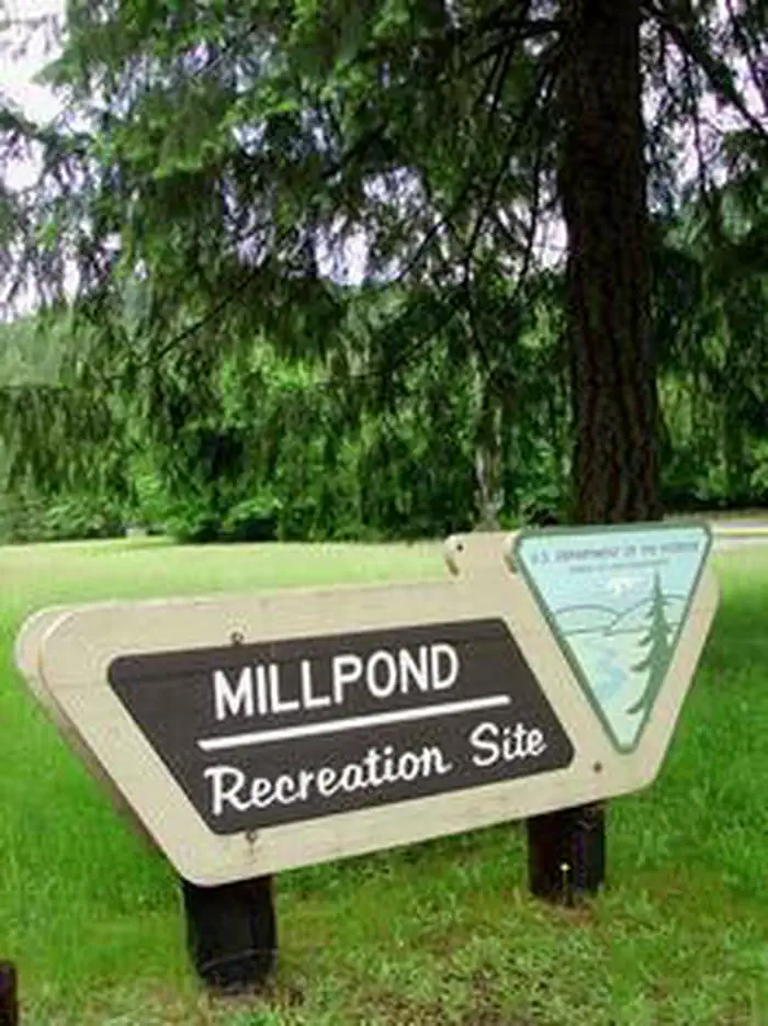
Overview
THIS LOCATION IS CLOSED UNTIL FURTHER NOTICE DUE TO WILDFIRE DAMAGE.
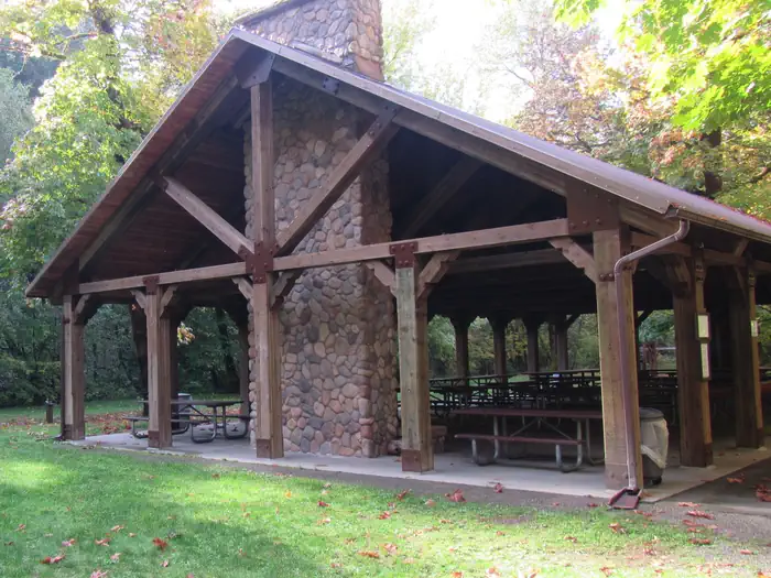
Millpond Pavilion is beautifully set along Rock Creek, which flows into the Wild and Scenic North Umpqua River. The pavilion boasts a large picnic shelter that holds up to 200 people with modern conveniences like drinking water, a sink, large grills, electrical outlets and a fireplace.
The flat grassy area is perfect for a casual game of soccer or a more special occasion, like an outdoor wedding.
In 1988 congress designated the North Umpqua River as a National Wild and Scenic River, preserving and protecting it for outdoor enthusiasts. The river is a tributary of the Umpqua River, which runs for over 200 miles from the Cascade Range of southwestern Oregon to the Pacific Ocean.
Recreation
Guests can play kickball, softball or other sports in the field that's included in the pavilion reservation.Adjacent to the pavilion are horseshoe pits and a playground to entertain young ones. From the pavilion, visitors can follow a 1-mile interpretive trail that passes through the site of an old lumber mill.
Facilities
Weddings and family reunions are very popular at this scenic destination. The long serving counter, stone fireplace, sink, two barbecue grills and multiple electric outlets create an ideal location for many festive occasions.
If groups choose to camp overnight, they can do so at the nearby Millpond Campground or the reservable Lone Pine Group Campground located across the road.
Natural Features
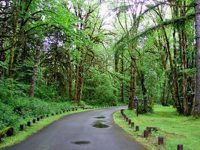
Millpond is just west of the Umpqua National Forest, in a lush region full of Douglas fir trees, western red cedar and sugar pines. The pavilion is in the foothills of the Cascade Mountains at an elevation of 1,170 feet.Nearby Attractions
Visitors can get their adventure fix with kayaking and whitewater rafting and fishing in the North Umpqua River, just five miles away.The incredibly scenic 79-mile North Umpqua Trail is ideal for mountain biking and hiking. And for a family-friendly destination, the nearby Rock Creek Fish Hatchery allows visitors to view salmon and steelhead.
The facts
- 1 bookable site
- 1 site for day use only
- Up to 200 people per site
- Loops: MILLPOND PAVILION
Site types
- 1 Group Picnic Area
Amenities
- Picnic tables
- Shade
Not recorded upstream: electric hookups, water hookups, sewer hookups, campfires allowed, fire pits, grills, pets allowed.
1 campsite at Millpond Pavilion
Check-in 10:00 AM · Check-out 9:00 PM
| Site | Loop | Type | Entry | Surface | Water | Max rig | People | |
|---|---|---|---|---|---|---|---|---|
| Pavilion | MILLPOND PAVILION | Group Picnic Area | — | Paved | Riverfront | — | 200 |
Getting there
43.38083, -122.94750 · 43°22'51.0"N 122°56'51.0"W
Typical weather
Typically 84°F in Jul, down to 44°F in Dec.
| Jan | Feb | Mar | Apr | May | Jun | Jul | Aug | Sep | Oct | Nov | Dec | |
|---|---|---|---|---|---|---|---|---|---|---|---|---|
| High °F | 46 | 50 | 56 | 62 | 70 | 75 | 84 | 84 | 78 | 64 | 51 | 44 |
| Low °F | 34 | 35 | 36 | 39 | 43 | 47 | 51 | 50 | 46 | 41 | 38 | 33 |
| Precip in | 8.7 | 6.1 | 7.0 | 5.6 | 3.7 | 1.9 | 0.5 | 0.5 | 1.6 | 5.0 | 9.3 | 10.7 |
1991–2020 averages from the nearest NOAA station, 1.1 mi away — not measured at the facility itself, and elevation can make a real difference over that distance.
Map
More photos
Member photos
Common questions about Millpond Pavilion
- Can you reserve a site at Millpond Pavilion?
- Yes, Millpond Pavilion is reservable through Recreation.gov.
- How many campsites does Millpond Pavilion have?
- 1 site.
Camping near Millpond Pavilion
- Millpond Recreation Site less than 0.1 mi · Campground · we watch it
- Lone Pine Group Campground 0.2 mi · Campground · we watch it
- Rock Creek Pavilion 1.6 mi · Campground · we watch it
- Susan Creek Campground 6.4 mi · Campground · we watch it
- Bogus Creek Campground 8.3 mi · Campground · we watch it
- Scaredman Recreation Site 9.3 mi · Campground · we watch it
- Wolf Creek Group Site 9.8 mi · Campground · we watch it
- Canton Creek Campground 11.1 mi · Campground · we watch it
- Steamboat Ball Field Group Site 11.4 mi · Campground · we watch it
- Rock Creek Recreation Site 1.5 mi · Facility
- Steamboat Inn 10.7 mi · Facility
- Coolwater Campground 10.9 mi · Campground
Contact
- Phone 541-440-4930
- Email BLM_OR_RB_Mail@blm.gov
- Book Recreation.gov
Recreation.gov last updated this record on 2026-02-25.
Facility information and photographs from Recreation.gov (RIDB). SpotOpened is not affiliated with Recreation.gov or any federal agency.
Comments