Macks Canyon Recreation Site
Facility · Oregon ·
Managed by the Bureau of Land Management
Prineville Deschutes Field Office (Bureau of Land Management OR) · Open Access
- 523 ft
- Elevation
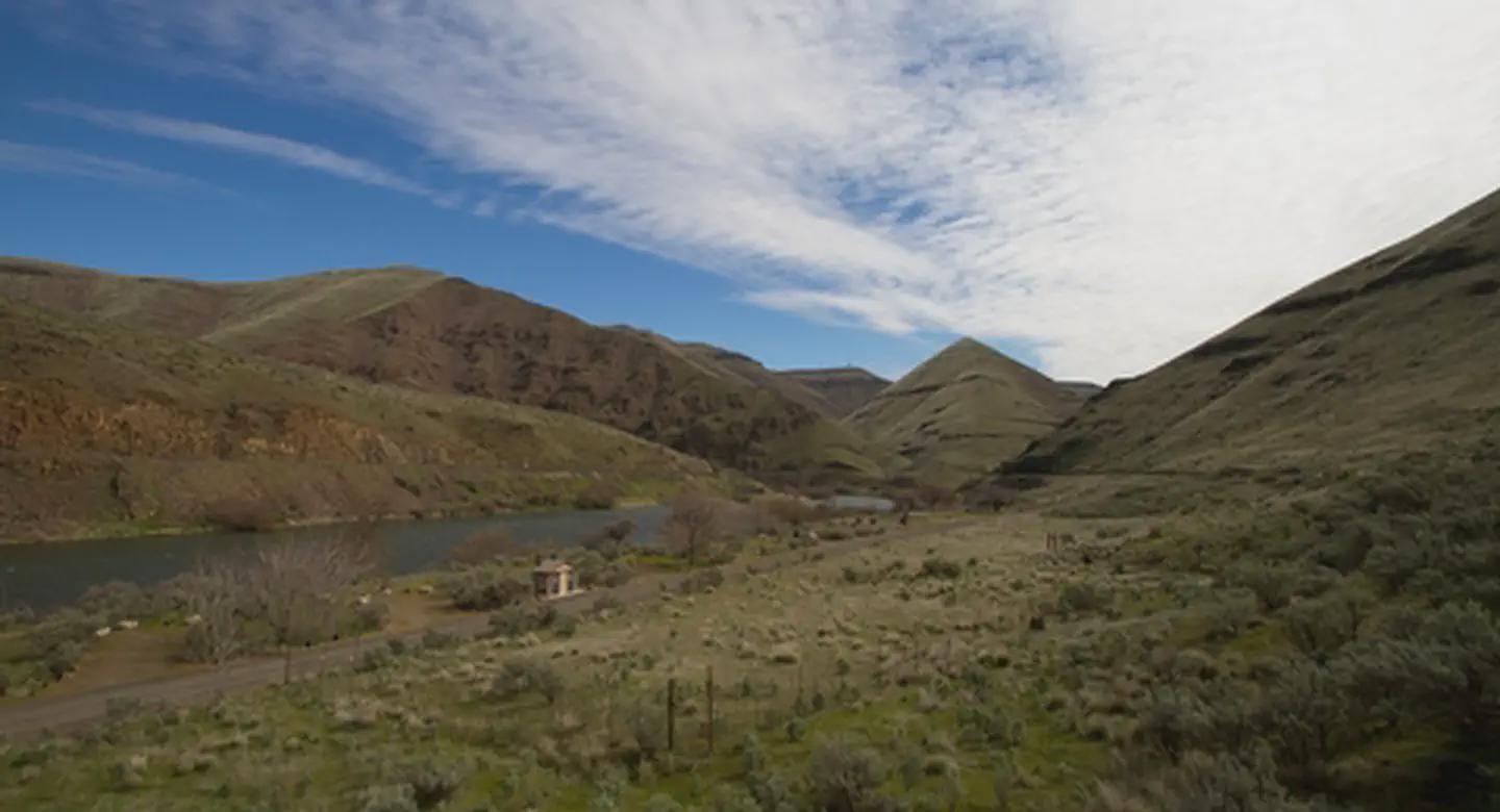
The Macks Canyon archaeological site is a large, prehistoric village locale overlooking the Deschutes River in north-central Oregon. The site is characterized by shallow, circular, semi-subterranean house depressions, surface artifacts, and riverine shell deposits. Limited excavations conducted in the late 1960s indicate that the site was the location of a winter village occupied by Sahaptin-speaking people of the Columbia Plateau. Although the main period of occupation appears to have occurred within the last 2,000 years, the site may have been occupied as early as 5,000 BC.
A campground and boat ramps are situated at the end of the Access Road along the east bank of the Lower Deschutes River. The area is popular with boaters and fishermen. The route to Macks Canyon is also a National Back Country Byway.
Know Before You G
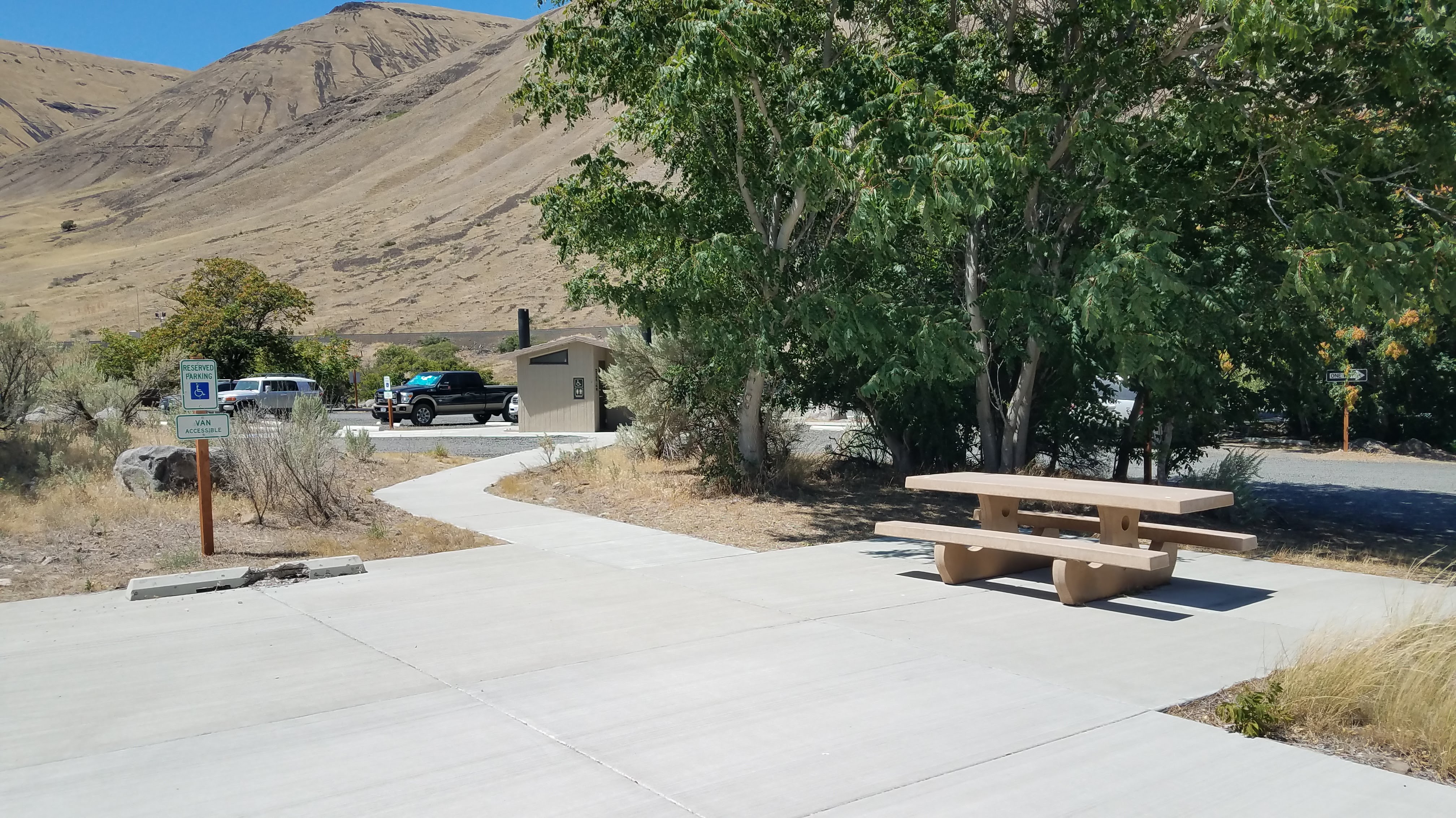
- Macks Canyon Recreation Site is open year-round and is with 18 individual campsites, two group-use campsites two vault toilets and garbage service. No drinking water or utility hookups are available.
- No reservations are accepted; all campsites, are available on a first-come, first-served basis only.
- No cell phone service is available.
- Campfires and smoking are allowed only from October 16 through May 31, annually, unless posted otherwise.
- When recreating on Public Lands, please practice the seven Leave-No-Trace Principles.
Point of Interest
Macks Canyon Recreation Site marks the northern terminus of the Lower Deschutes River Back Country Byway and the southern terminus of the non-motorized 23-mile Des Chutes Railbed Trail. This extremely rough, unmaintained trail follows a now-overgrown former railbed 11.6 miles to Harris Canyon. The northern 11.5 mile segment from Harris Canyon to Deschutes River State Recreation Area is maintained.
Getting there
From Maupin City Park in Maupin, Oregon: Proceed a short distance north to the junction of Bakeoven Road and the BLM Access Road. Turn left onto BLM Access Road and drive 7.0 miles. Continue onto Deschutes River Road for one mile. Turn right onto OR-216 E (signs for Grass Valley) and proceed for 0.5 mile. Turn left onto BLM Access Road and drive 17.4 miles to the road's end.
45.39040, -120.87867 · 45°23'25.4"N 120°52'43.2"W
Typical weather
Typically 84°F in Jul, down to 40°F in Dec.
| Jan | Feb | Mar | Apr | May | Jun | Jul | Aug | Sep | Oct | Nov | Dec | |
|---|---|---|---|---|---|---|---|---|---|---|---|---|
| High °F | 40 | 45 | 52 | 59 | 67 | 74 | 84 | 84 | 76 | 62 | 48 | 40 |
| Low °F | 25 | 26 | 30 | 35 | 42 | 47 | 53 | 53 | 45 | 36 | 29 | 24 |
| Precip in | 1.5 | 1.1 | 1.0 | 1.0 | 1.0 | 0.6 | 0.2 | 0.2 | 0.4 | 1.1 | 1.5 | 1.6 |
1991–2020 averages from the nearest NOAA station, 9.8 mi away — not measured at the facility itself, and elevation can make a real difference over that distance.
Map
Fees and stay limits
A Remote Off-Grid Kiosk (ROK) is available onsite for cashless camping transactions. No fees at the archaeological site. Individual Campsites: Weekdays: $8.00 per night Weekends*: $12.00 per night Additional Vehicle: $2.00 (excludes towed vehicles) Senior Pass Holders are half price (Individual Campsites only) Group Campsites: Weekdays: $25.00 per night Weekends*: $35.00 per night *Weekend rates apply June 1 through September 15 $8.00/night fee applies Sunday through Thursday nights, Friday and Saturday night fee is $12.00/night, Group Sites are $25.00/night Sunday through Thursday nights, Friday and Saturday night fee is $35.00/night. May 15th September 15th. There is a $2.00 charge per extra vehicle (tow vehicles excluded).
Stay limit: 14 Days
From Recreation.gov, which is not always current. The operator's own page is the authority on what you will be charged.
More photos
Member photos
Common questions about Macks Canyon Recreation Site
- Can you reserve a site at Macks Canyon Recreation Site?
- No. Macks Canyon Recreation Site is not reservable through Recreation.gov, so sites are first-come, first-served or booked elsewhere.
- How long can you stay at Macks Canyon Recreation Site?
- 14 Days
Camping near Macks Canyon Recreation Site
- Lower Deschutes River Boater Pass 17.5 mi · Permit · we watch it
- Lepage Park 25.8 mi · Campground · we watch it
- Rattlesnake Canyon Campground 4.5 mi · Facility
- Oakbrook Day Use Area 6.7 mi · Facility
- Twin Springs Campground 8.3 mi · Facility
- Buckhollow Boat Ramp 10.9 mi · Facility
- Maupin Section Foreman House Historic Site 18.3 mi · Facility
- Long Bend Campground 22 mi · Facility
- Devil's Canyon Campground 22.4 mi · Facility
- Nena Day Use Area 23.4 mi · Facility
- Locked Gate Day Use Area 23.9 mi · Facility
- Little Badger Campground 23.9 mi · Campground
Contact
- Phone 541-416-6700
- Email BLM_OR_PR_Mail@blm.gov
- Info Recreation.gov
Recreation.gov last updated this record on 2026-04-10.
Facility information and photographs from Recreation.gov (RIDB). SpotOpened is not affiliated with Recreation.gov or any federal agency.
Comments