Oakbrook Day Use Area
Facility · Oregon ·
Managed by the Bureau of Land Management
Prineville Deschutes Field Office (Bureau of Land Management OR) · Open Access
- 609 ft
- Elevation
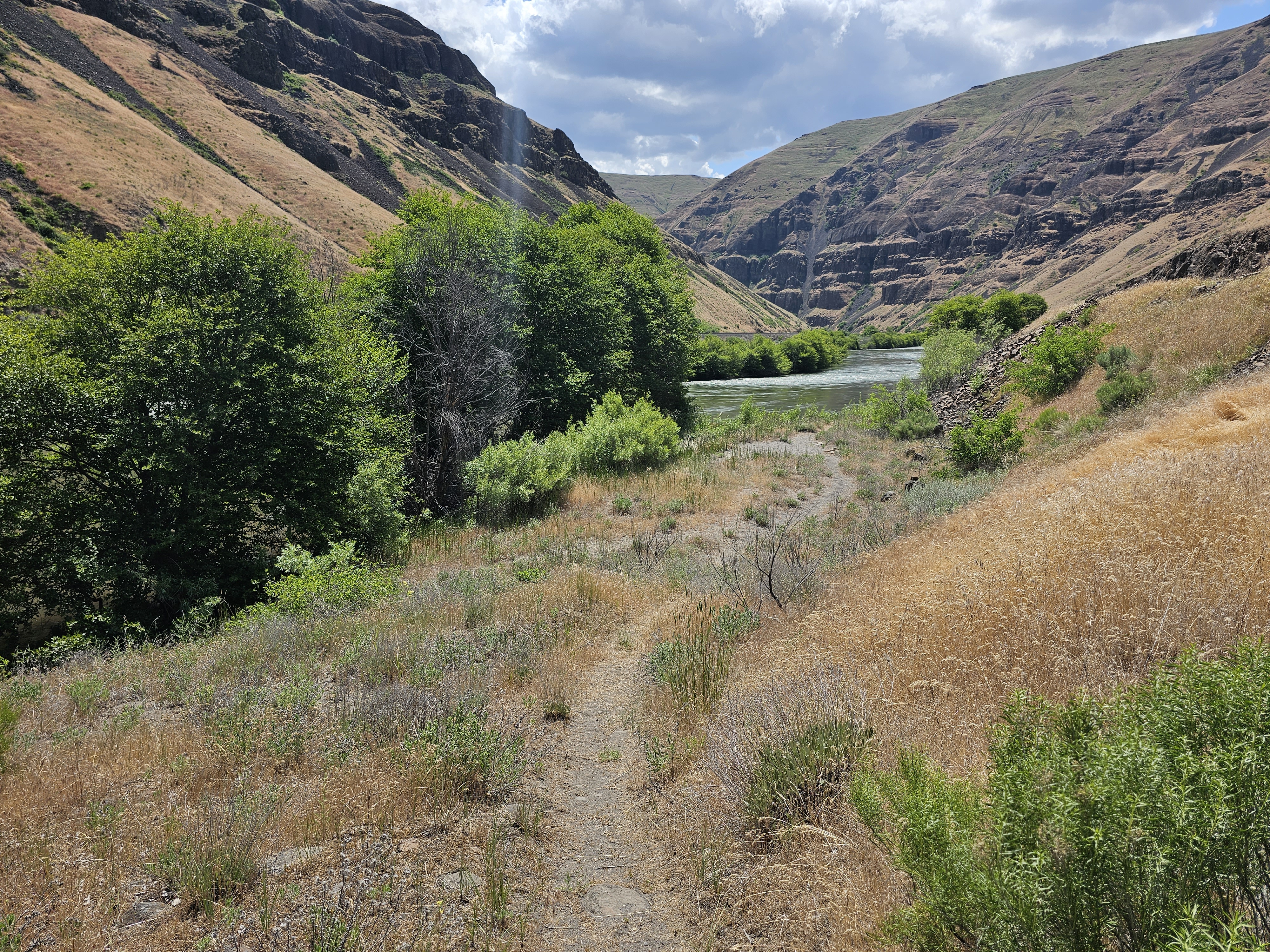
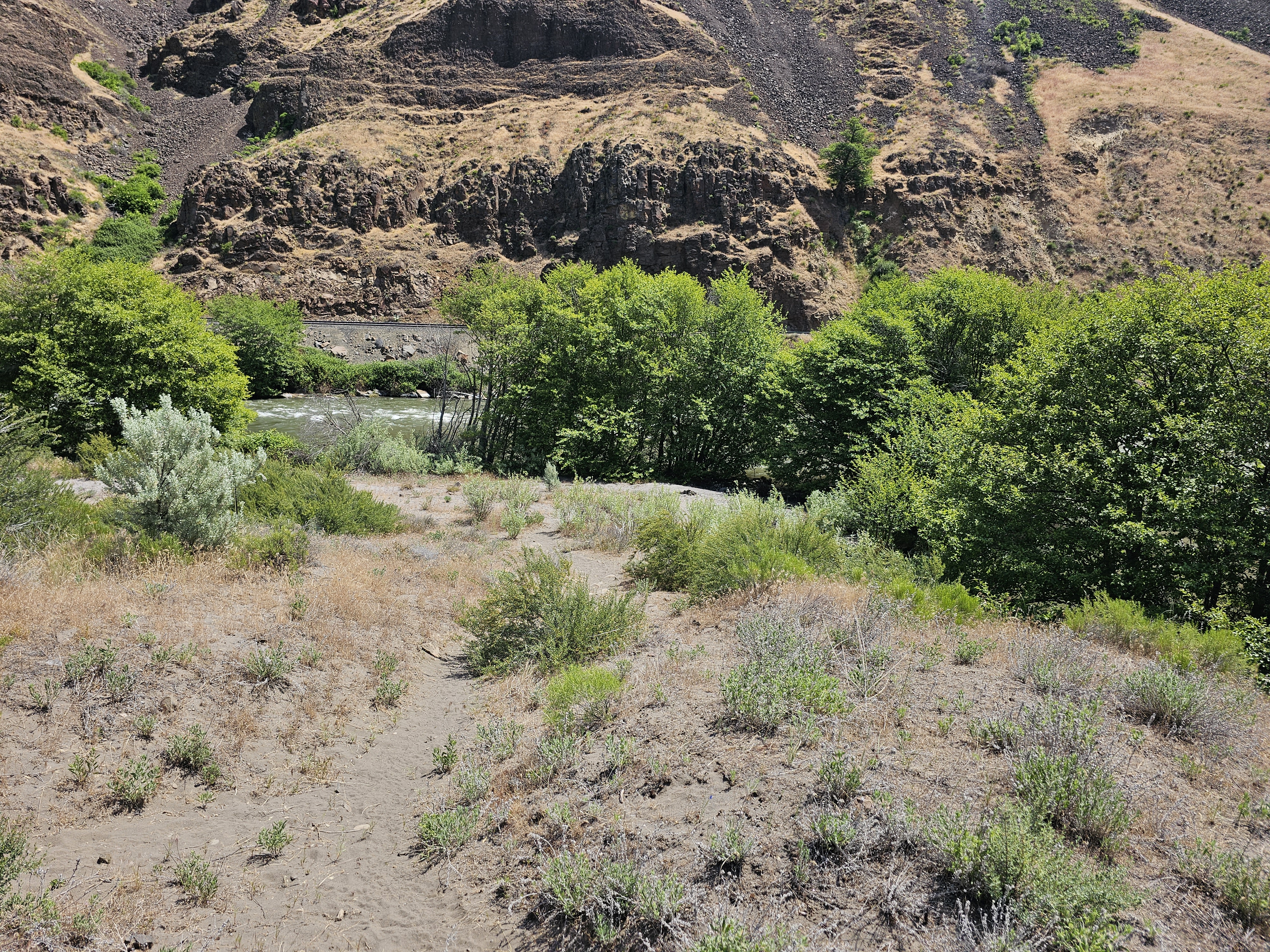
This quiet location provides a peaceful riverside sojourn along the Lower Deschutes River Back Country Byway. Short trails leading to the banks and a small beach on the Deschutes Wild and Scenic River offer opportunities for solitude only occasionally interrupted by the infrequent passage of freight trains on the opposite river bank.
Know Before You Go
- Open year-round.
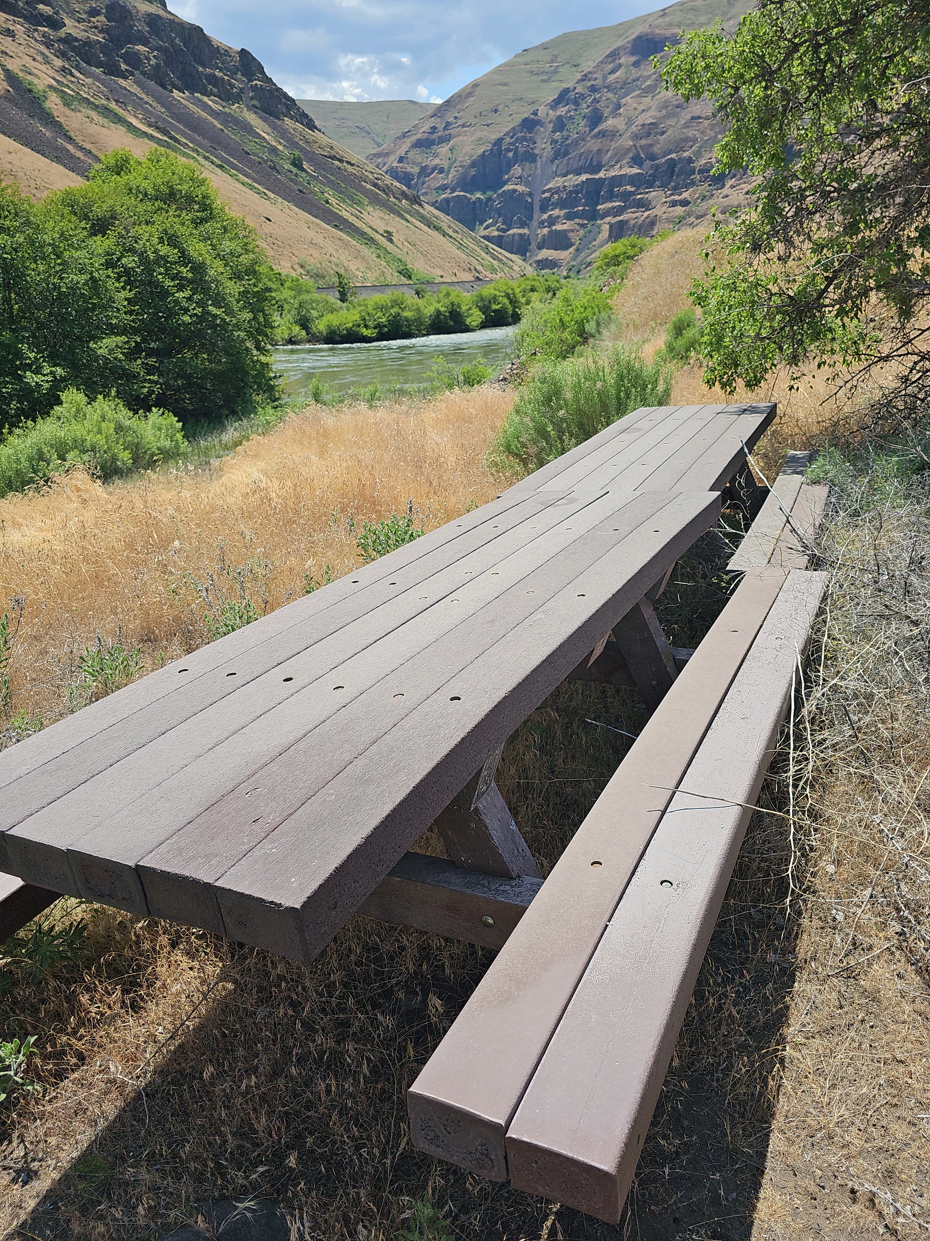
- Picnic tables and a vault toilet are available.
- Garbage service available.
- Limited to no cell phone connectivity.
Getting there
From Maupin, Oregon: Drive 8.2 miles north on the BLM Access Rd, (Lower Deschutes River Back Country Byway). Just beyond Sherars Falls, turn right on State Highway 216 and proceed for 0.5 mile. Turn left on the BLM Access Rd and drive another 6.5 miles; the day use area is on your left.
45.31899, -120.97344 · 45°19'8.4"N 120°58'24.4"W
Typical weather
Typically 89°F in Jul, down to 39°F in Dec.
| Jan | Feb | Mar | Apr | May | Jun | Jul | Aug | Sep | Oct | Nov | Dec | |
|---|---|---|---|---|---|---|---|---|---|---|---|---|
| High °F | 41 | 47 | 56 | 63 | 72 | 79 | 89 | 88 | 79 | 64 | 48 | 39 |
| Low °F | 27 | 29 | 32 | 36 | 41 | 45 | 51 | 50 | 45 | 37 | 31 | 27 |
| Precip in | 1.9 | 1.5 | 1.2 | 1.1 | 1.1 | 0.6 | 0.3 | 0.2 | 0.4 | 1.1 | 1.7 | 2.3 |
1991–2020 averages from the nearest NOAA station, 12 mi away — not measured at the facility itself, and elevation can make a real difference over that distance.
Map
Fees and stay limits
No fees.
Stay limit: Day use only.
From Recreation.gov, which is not always current. The operator's own page is the authority on what you will be charged.
More photos
Member photos
Common questions about Oakbrook Day Use Area
- Can you reserve a site at Oakbrook Day Use Area?
- No. Oakbrook Day Use Area is not reservable through Recreation.gov, so sites are first-come, first-served or booked elsewhere.
- How long can you stay at Oakbrook Day Use Area?
- Day use only.
Camping near Oakbrook Day Use Area
- Lower Deschutes River Boater Pass 10.9 mi · Permit · we watch it
- Twin Springs Campground 1.7 mi · Facility
- Rattlesnake Canyon Campground 2.4 mi · Facility
- Buckhollow Boat Ramp 4.2 mi · Facility
- Macks Canyon Recreation Site 6.7 mi · Facility
- Maupin Section Foreman House Historic Site 11.7 mi · Facility
- Long Bend Campground 15.3 mi · Facility
- Devil's Canyon Campground 15.8 mi · Facility
- Nena Day Use Area 16.8 mi · Facility
- Locked Gate Day Use Area 17.3 mi · Facility
- Little Badger Campground 18.3 mi · Campground
- Bonney Crossing Campground 20.8 mi · Campground
Contact
- Phone 541-416-6700
- Email BLM_OR_PR_Mail@blm.gov
- Info Recreation.gov
Recreation.gov last updated this record on 2026-02-25.
Facility information and photographs from Recreation.gov (RIDB). SpotOpened is not affiliated with Recreation.gov or any federal agency.
Comments