Locked Gate Day Use Area
Facility · Oregon ·
Managed by the Bureau of Land Management
Deschutes River Segment E (Designated - Recreational) · Open Access
- 955 ft
- Elevation
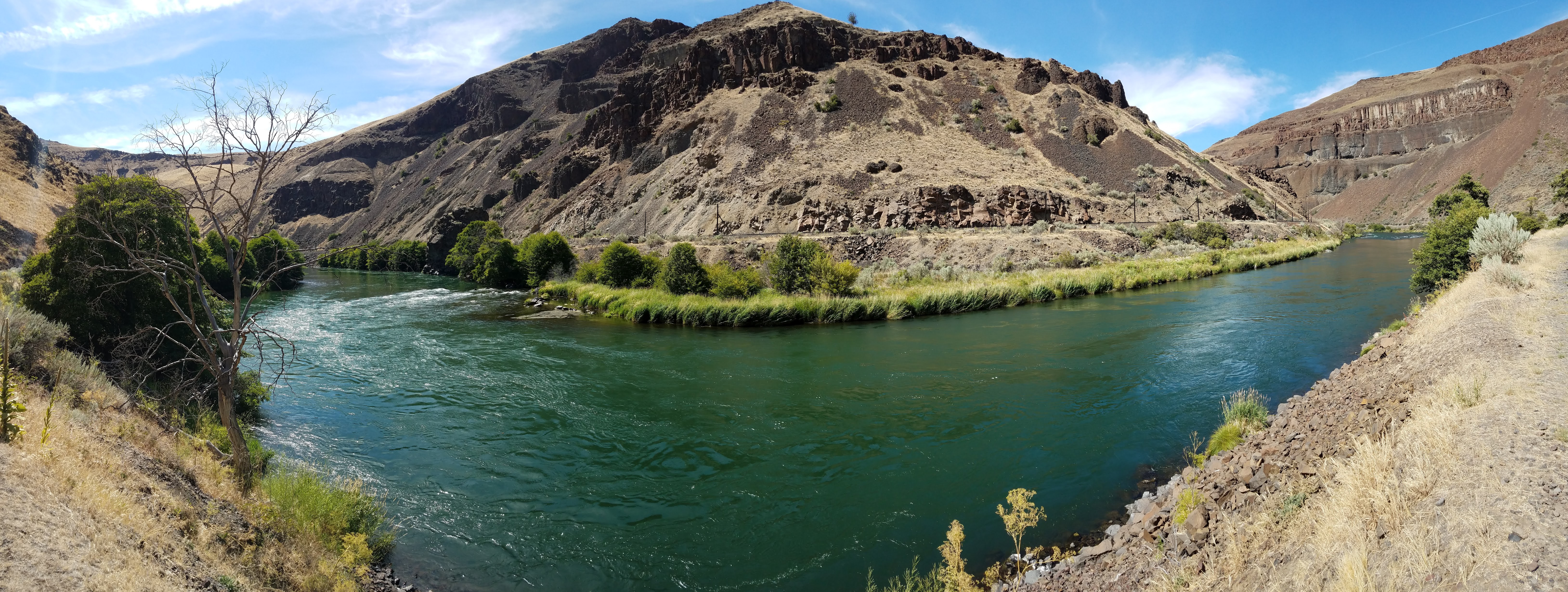
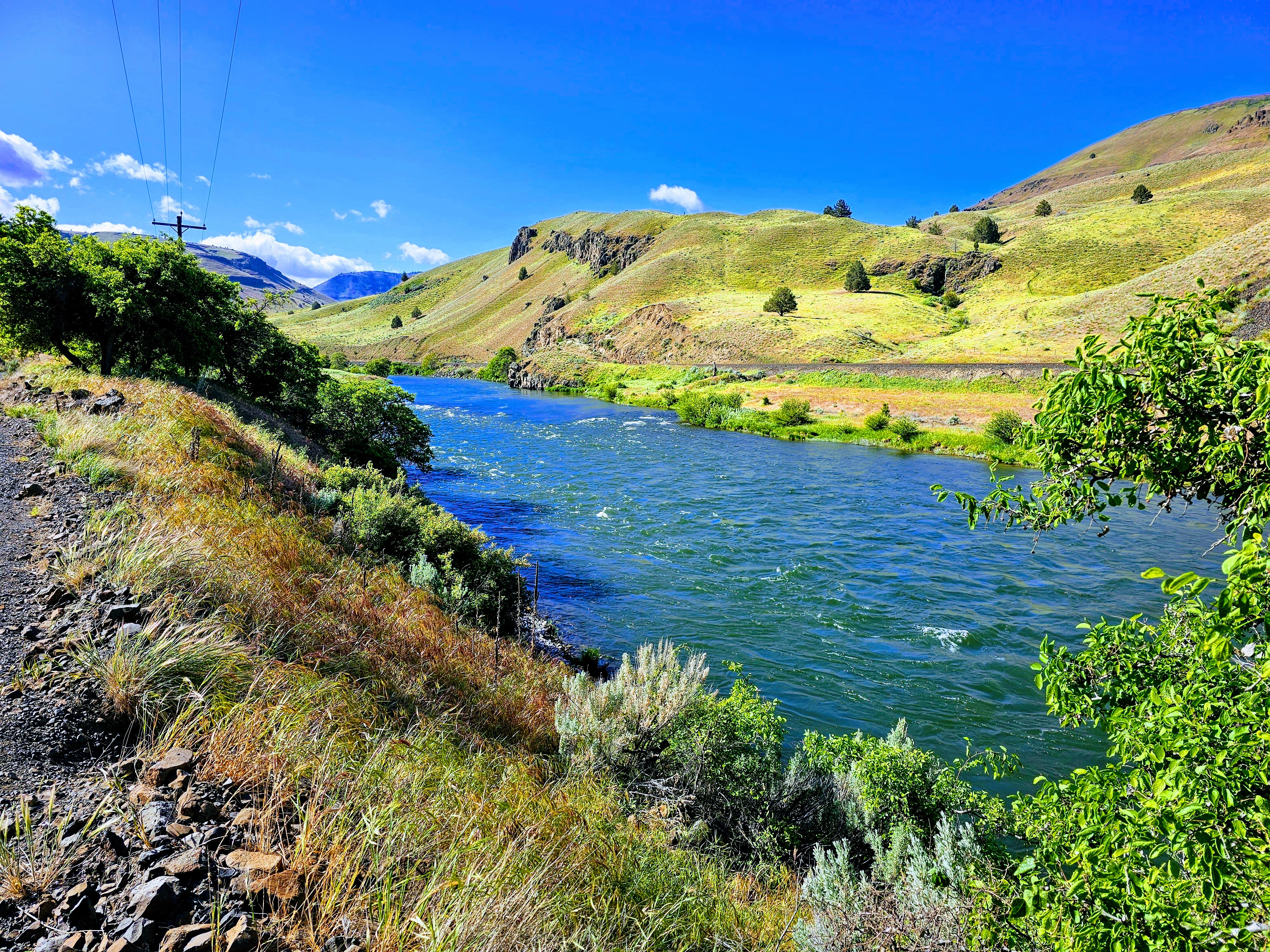
You know when you've arrived at Locked Gate Day Use Area. The name may be a bit unimaginative but it is the locked gate at this location that precludes further public motorized access to the south. Here, however, you can park your vehicle, load your pack and hike another 4.7 miles along the Deschutes River Trail to the far more imaginatively-named Buckskin Mary Rapids. Motorized use on the trail-atop-a-road beyond the gate is open only to private land owners.
Know Before You Go
- Private Property: Respect the surrounding private property; leave the trail only when crossing designated public lands.
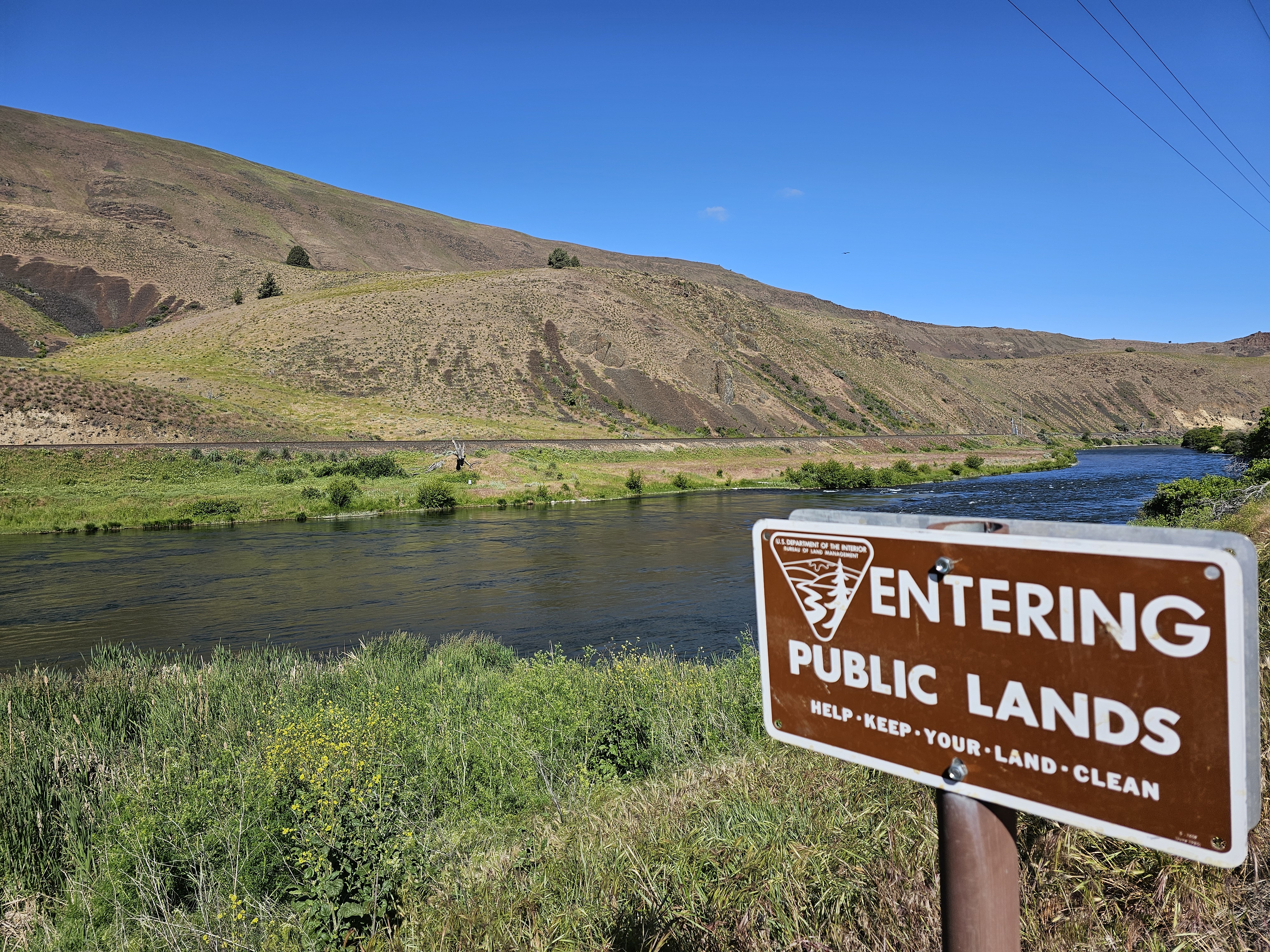
- Boundaries: Look for "Entering" and "Leaving" signs that mark the boundaries of public land.
- Regulations: Firearms and wheeled vehicles, including bicycles, are not permitted beyond the gate on private lands as per owner rules.
- River Access: There is a steep but short trail leading to the river from the day use area. No boat launching or overnight camping is allowed.
As you prepare for your hike, keep these guidelines in mind to ensure a safe and respectful experience at Locked Gate Day Use Area.
Getting there
From City Park in Maupin, Oregon: Drive south via BLM Access Rd/Deschutes River Rd for 7.5 miles; the recreation site is at the gated road terminus.
45.09290, -121.12823 · 45°5'34.4"N 121°7'41.6"W
Typical weather
Typically 86°F in Jul, down to 39°F in Dec.
| Jan | Feb | Mar | Apr | May | Jun | Jul | Aug | Sep | Oct | Nov | Dec | |
|---|---|---|---|---|---|---|---|---|---|---|---|---|
| High °F | 40 | 45 | 53 | 59 | 68 | 75 | 86 | 86 | 77 | 63 | 48 | 39 |
| Low °F | 25 | 26 | 31 | 34 | 41 | 46 | 52 | 52 | 47 | 37 | 30 | 25 |
| Precip in | — | — | — | — | — | — | — | — | — | — | — | — |
1991–2020 averages from the nearest NOAA station, 22.1 mi away — not measured at the facility itself, and elevation can make a real difference over that distance.
Map
Fees and stay limits
No fees.
Stay limit: Day use only
From Recreation.gov, which is not always current. The operator's own page is the authority on what you will be charged.
More photos
Member photos
Common questions about Locked Gate Day Use Area
- Can you reserve a site at Locked Gate Day Use Area?
- No. Locked Gate Day Use Area is not reservable through Recreation.gov, so sites are first-come, first-served or booked elsewhere.
- How long can you stay at Locked Gate Day Use Area?
- Day use only
Camping near Locked Gate Day Use Area
- Lower Deschutes River Boater Pass 6.4 mi · Permit · we watch it
- Rock Creek Campground (Mt. Hood National Forest, OR) 15.2 mi · Campground · we watch it
- Nena Day Use Area 0.6 mi · Facility
- Devil's Canyon Campground 1.7 mi · Facility
- Long Bend Campground 2.3 mi · Facility
- Maupin Section Foreman House Historic Site 5.6 mi · Facility
- Buckhollow Boat Ramp 13.2 mi · Facility
- Rock Creek Reservoir Campground 15.2 mi · Campground
- Twin Springs Campground 16.1 mi · Facility
- Warm Springs National Fish Hatchery (Oregon) 16.7 mi · Facility
- Little Badger Campground 16.8 mi · Campground
- Bonney Crossing Campground 17.1 mi · Campground
Contact
- Phone 541-416-6700
- Email BLM_OR_PR_Mail@blm.gov
- Info Recreation.gov
Recreation.gov last updated this record on 2026-02-25.
Facility information and photographs from Recreation.gov (RIDB). SpotOpened is not affiliated with Recreation.gov or any federal agency.
Comments