John Day Crossing Historic Site
Facility · Oregon ·
Managed by the Bureau of Land Management
Prineville Central Oregon Field Office (Bureau of Land Management OR) · Open Access
- 410 ft
- Elevation
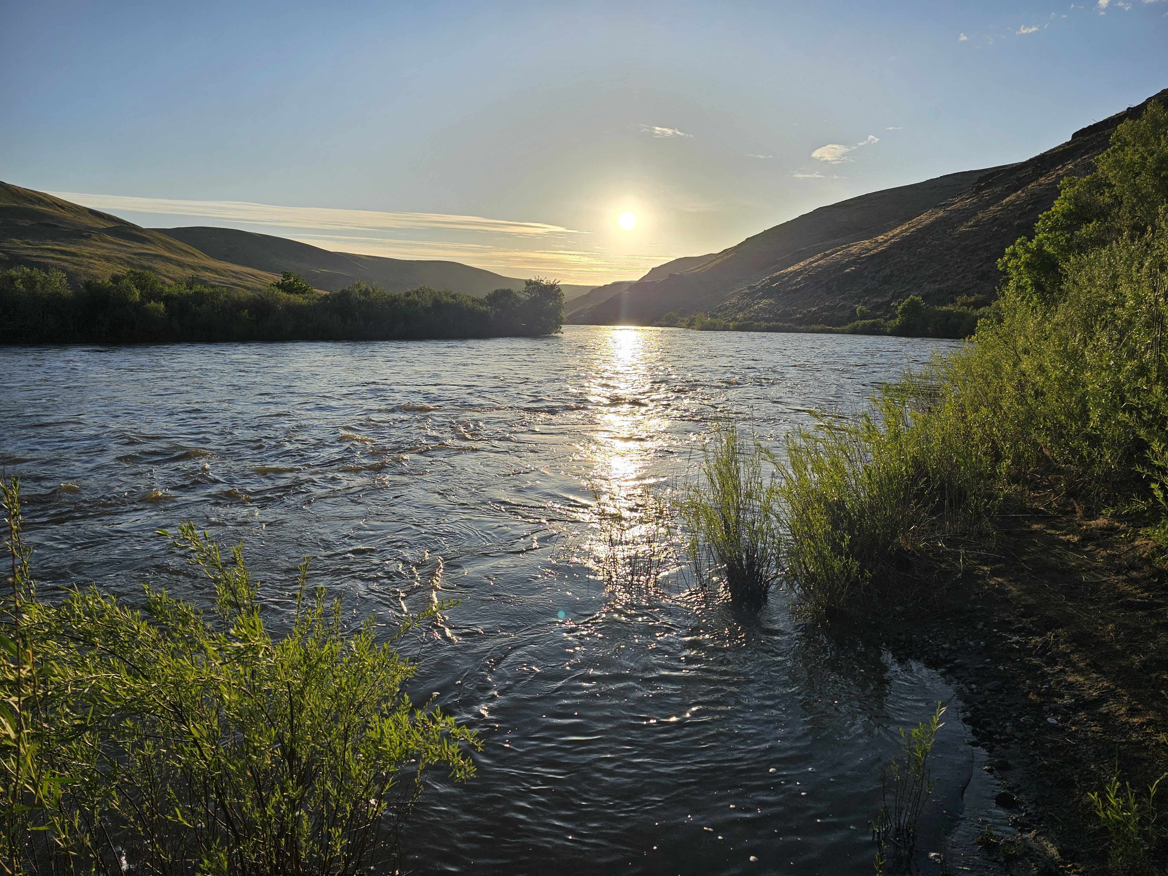
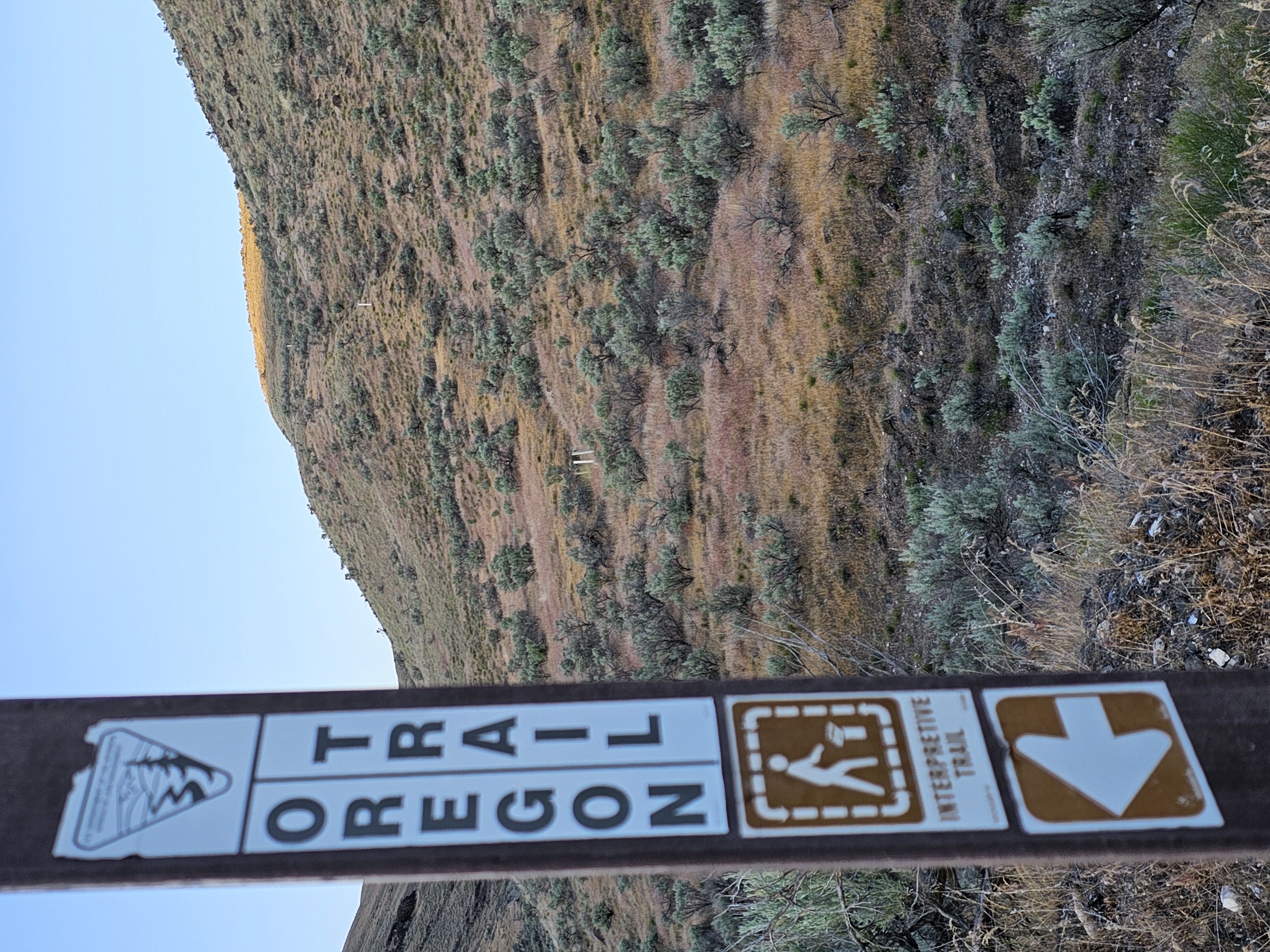
Situated on the east bank of the lower John Day River, this site marks the location where two branches of the Oregon trail converged to meet at the John Day River crossing. Looking up on the hillside, one can see white markers planted to mark the actual routes as they descend the hillside. Imagine trying to keep wagons and stock from plunging down the hillside, unchecked. Some emigrants who descended one branch of the Oregon Trail here are said to have remarked that the other branch must have been better because it could not be worse than the one they descended.
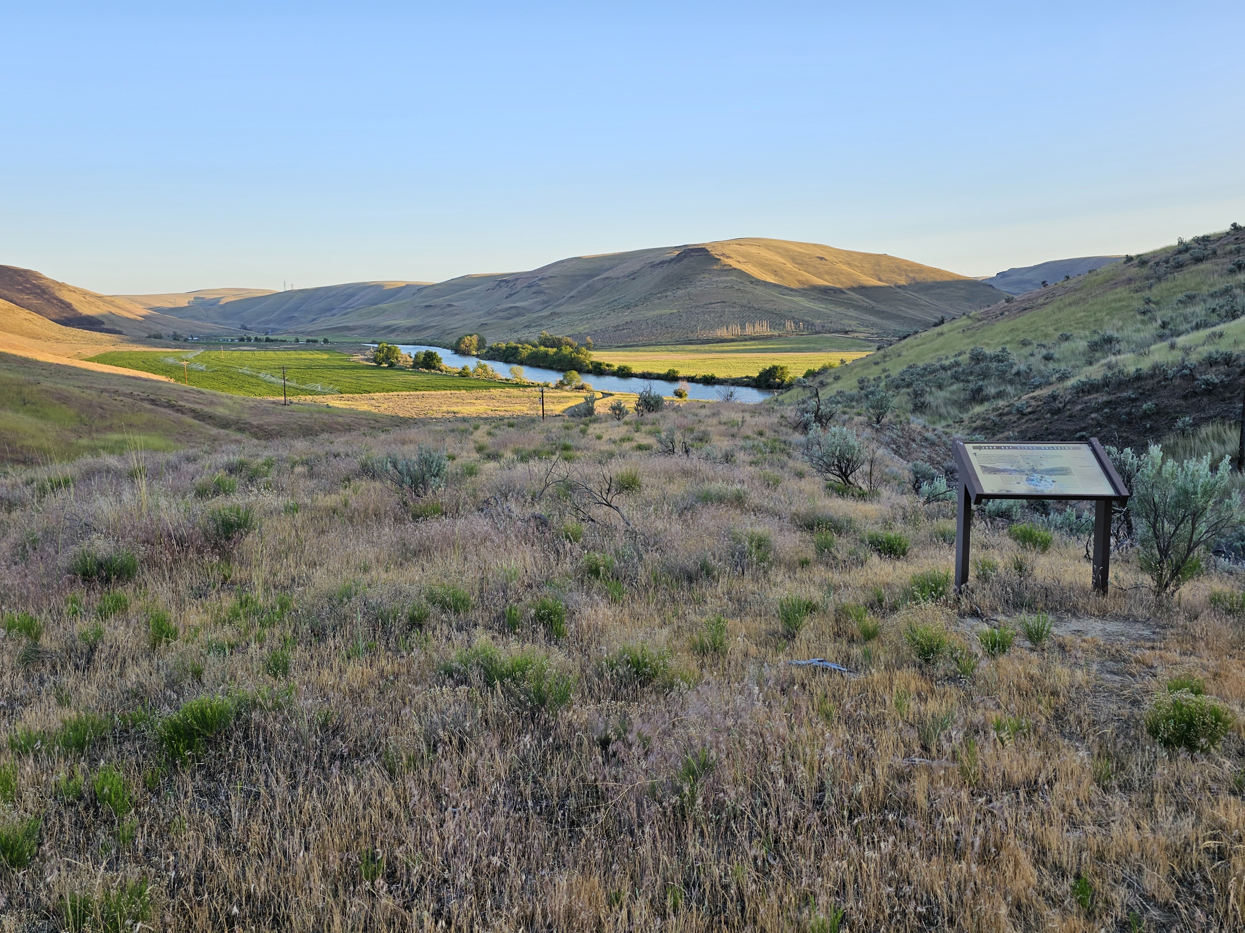
Follow the trail markers along the road just above the historic site for ¼ mile to a small interpretive site. Here, one afforded a vantage of the approach of the John Day River crossing. Depending on the time of year one views the crossing, the river’s volume of water can look quite ominous. Most of the journal entries date from the late summer and fall, however, when water levels on this free-flowing river are greatly reduced. Today, a primitive boat launch is used as the last public takeout on the John Day Wild & Scenic River before Tumwater Falls.
Know Before You Go
- Open year-round.
- Paved road access via Rock Creek ends at McDonald Ferry Road. This final, 2-mile stretch is unmaintained and impassable when wet or inundated.
- If traveling to the site via Cedar Springs, check out the interpretive panel at Cedar Springs Ranch, a stopover for Oregon Trail emigrants before the descent to the John Day River. This site is located on private property; please be respectful of this.
- The site features a small, primitive campsite nestled in a cottonwood grove, picnic tables and a vault toilet.
- No services, including potable water or garbage service is available onsite—please pack out your trash.
- An annual fire closure is in effect from June 1 through October 15. Prohibited acts during this closure period include building, igniting, maintaining, attending, using, tending, or being within 20 feet of a campfire, charcoal fire, or any other type of open flame; smoking, except while in non-public buildings, closed vehicles, in boats on the water, or while standing in the water.
Point of Interest
John Day Crossing Historic Site is just one of several Bureau of Land Management historic sites marking significant locations along the 2000-mile Oregon National Historic Trail.
Getting there
From Arlington, Oregon: Drive 6.7 miles south along State Highway 19, the John Day Highway. Turn right onto Cedar Springs Lane and continue for 9.2 miles. Make another right onto Lower Rock Creek Lane and proceed another 5.5 miles. Nearing the John Day River, turn right again onto the gravel and dirt McDonald Ferry Road and continue another 2 miles to the historic site.
45.59608, -120.40969 · 45°35'45.9"N 120°24'34.9"W
Typical weather
Typically 90°F in Jul, down to 41°F in Jan.
| Jan | Feb | Mar | Apr | May | Jun | Jul | Aug | Sep | Oct | Nov | Dec | |
|---|---|---|---|---|---|---|---|---|---|---|---|---|
| High °F | 41 | 47 | 56 | 64 | 73 | 80 | 90 | 89 | 80 | 66 | 50 | 41 |
| Low °F | 30 | 31 | 36 | 42 | 50 | 57 | 63 | 62 | 53 | 42 | 34 | 30 |
| Precip in | 1.5 | 1.0 | 0.8 | 0.6 | 0.8 | 0.5 | 0.1 | 0.1 | 0.3 | 0.8 | 1.1 | 1.7 |
1991–2020 averages from the nearest NOAA station, 13.1 mi away — not measured at the facility itself, and elevation can make a real difference over that distance.
Map
Fees and stay limits
No fees.
Stay limit: 14 days.
From Recreation.gov, which is not always current. The operator's own page is the authority on what you will be charged.
More photos
Member photos
Common questions about John Day Crossing Historic Site
- Can you reserve a site at John Day Crossing Historic Site?
- No. John Day Crossing Historic Site is not reservable through Recreation.gov, so sites are first-come, first-served or booked elsewhere.
- How long can you stay at John Day Crossing Historic Site?
- 14 days.
Camping near John Day Crossing Historic Site
- Lepage Park 14.8 mi · Campground · we watch it
- Lower Deschutes River Boater Pass 43.3 mi · Permit · we watch it
- Macks Canyon Recreation Site 26.8 mi · Facility
- Rattlesnake Canyon Campground 31 mi · Facility
- Oakbrook Day Use Area 33.4 mi · Facility
- Twin Springs Campground 35 mi · Facility
- Buckhollow Boat Ramp 37.2 mi · Facility
- Maupin Section Foreman House Historic Site 44.1 mi · Facility
- Heppner Ranger District 44.6 mi · Facility
- Long Bend Campground 47.7 mi · Facility
- Devil's Canyon Campground 48.1 mi · Facility
- Coyote Wall Recreation Area 48.5 mi · Facility
Contact
- Phone 541-416-6700
- Email BLM_OR_PR_Mail@blm.gov
- Info Recreation.gov
Recreation.gov last updated this record on 2026-08-04.
Facility information and photographs from Recreation.gov (RIDB). SpotOpened is not affiliated with Recreation.gov or any federal agency.
Comments