South Maumee
Facility · Arkansas ·
Managed by the National Park Service
Buffalo National River (National River) · Open Access
- 544 ft
- Elevation
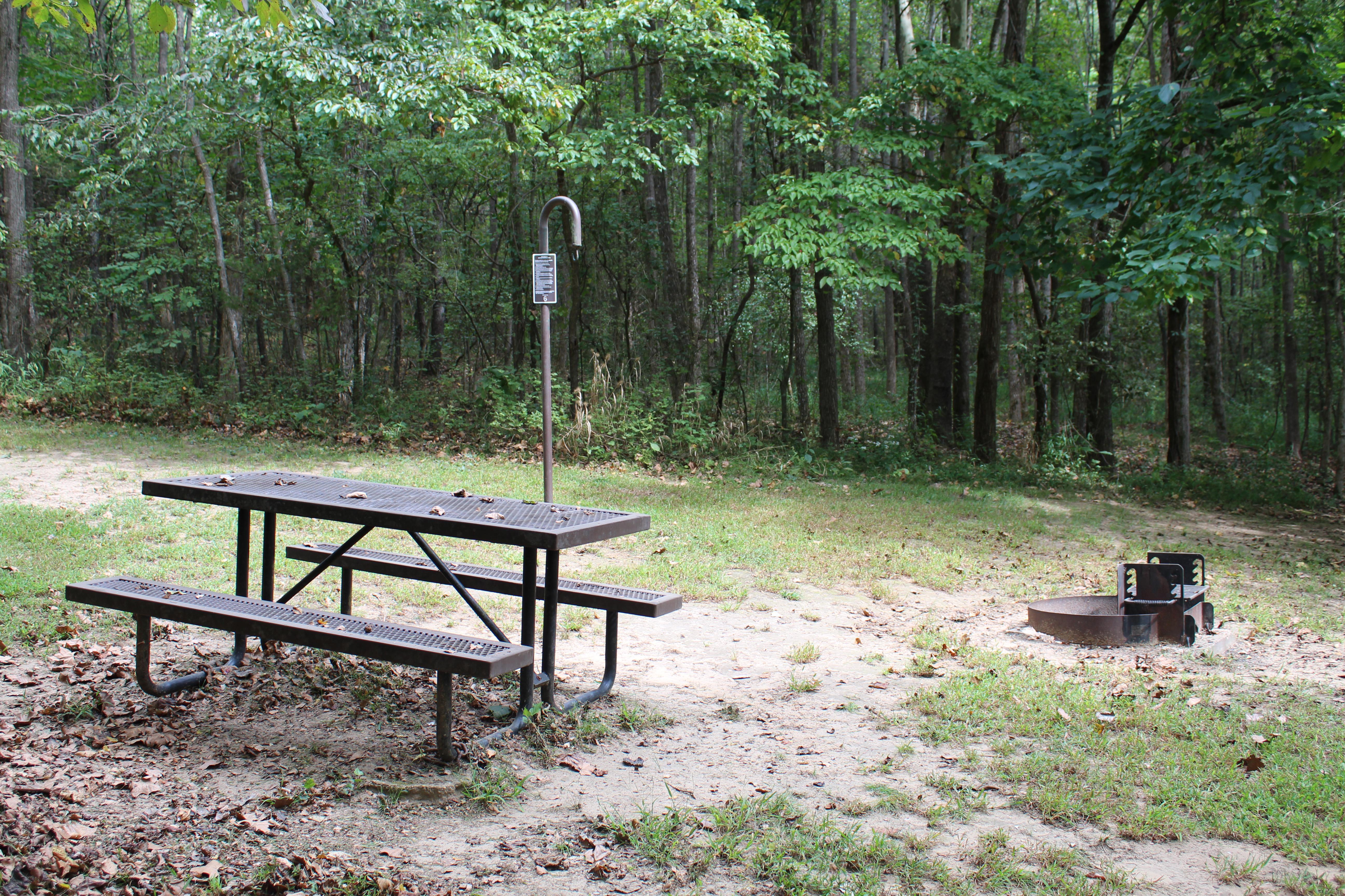
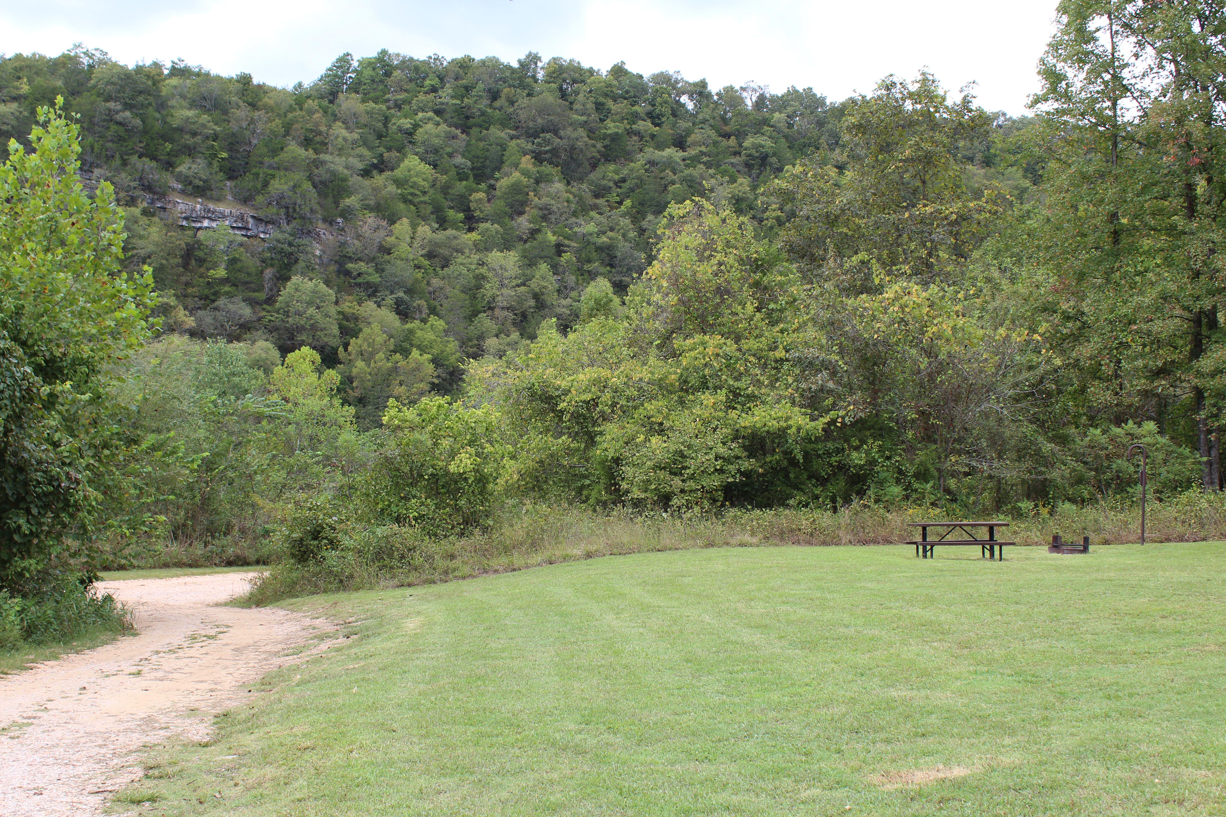
South Maumee Campground is a campground in the lower district of the Buffalo River. There are no amenities at South Maumee. There are no designated sites. A vault restroom is available. Fees are not charged at Maumee South.
Getting there
More information is available at http://www.nps.gov/buff/.
36.03948, -92.63564 · 36°2'22.1"N 92°38'8.3"W
Typical weather
Typically 90°F in Jul, down to 48°F in Jan.
| Jan | Feb | Mar | Apr | May | Jun | Jul | Aug | Sep | Oct | Nov | Dec | |
|---|---|---|---|---|---|---|---|---|---|---|---|---|
| High °F | 48 | 53 | 61 | 70 | 77 | 85 | 90 | 90 | 83 | 73 | 60 | 51 |
| Low °F | 24 | 28 | 36 | 45 | 55 | 64 | 67 | 65 | 57 | 45 | 35 | 27 |
| Precip in | 3.2 | 3.3 | 4.7 | 5.1 | 5.3 | 4.2 | 3.4 | 3.0 | 3.9 | 3.8 | 4.5 | 3.6 |
1991–2020 averages from the nearest NOAA station, 5.7 mi away — not measured at the facility itself, and elevation can make a real difference over that distance.
Map
More photos
Member photos
Common questions about South Maumee
- Can you reserve a site at South Maumee?
- No. South Maumee is not reservable through Recreation.gov, so sites are first-come, first-served or booked elsewhere.
Camping near South Maumee
- Buffalo Point 5 mi · Campground · we watch it
- Tyler Bend Campground 8 mi · Campground · we watch it
- Barkshed Campground 21.6 mi · Campground · we watch it
- Richland Creek Campground 23.7 mi · Campground · we watch it
- Lakeview Park 23.8 mi · Campground · we watch it
- Gunner Pool Campground 23.9 mi · Campground · we watch it
- Rush Campground 7.5 mi · Campground
- Tyler Bend Visitor Center 8 mi · Facility
- Woolum 14.5 mi · Facility
- Carver Campground 22.9 mi · Facility
- Richland Creek Wilderness 23.6 mi · Facility
- Gunner Pool Recreation Area 23.9 mi · Facility
Contact
- Phone (870) 439-2502
- Email buff_information@nps.gov
- Info Recreation.gov
Recreation.gov last updated this record on 2026-02-25.
Facility information and photographs from Recreation.gov (RIDB). SpotOpened is not affiliated with Recreation.gov or any federal agency.
Comments