Tyler Bend Visitor Center
Facility · Arkansas ·
Managed by the National Park Service
Buffalo National River (National River) · Open Access
- 659 ft
- Elevation
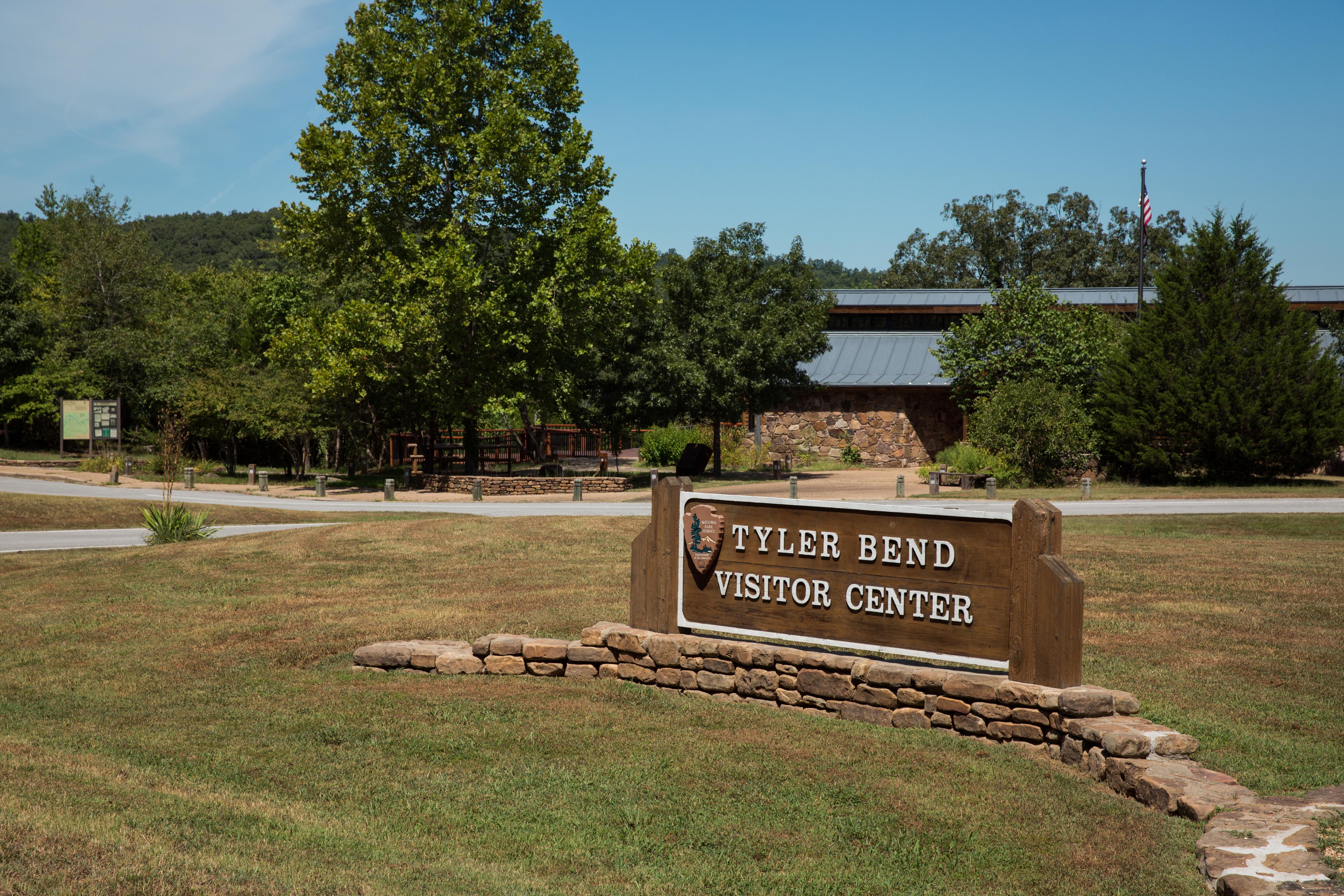
The Tyler Bend Visitor Center is located about 2 1/2 miles off of Highway 65 between St. Joe and Marshall, Arkansas. Here visitors can get park orientation information, stamp passport books, see the park film, and shop at the park bookstore.
Getting there
Buffalo National River is a long, narrow park that is crossed by three main highways. Using Harrison, Arkansas as a starting point to reach Tyler Bend, visitors travel 31 miles south of Harrison on Highway 65. Signs on the highway direct you to the turn for the park road to Tyler Bend. The access road to the Tyler Bend Visitor Center is 3 miles long and also takes you to the Tyler Bend Campground and river access.
35.98655, -92.76342 · 35°59'11.6"N 92°45'48.3"W
Typical weather
Typically 90°F in Jul, down to 48°F in Jan.
| Jan | Feb | Mar | Apr | May | Jun | Jul | Aug | Sep | Oct | Nov | Dec | |
|---|---|---|---|---|---|---|---|---|---|---|---|---|
| High °F | 48 | 53 | 61 | 70 | 77 | 85 | 90 | 90 | 83 | 73 | 60 | 51 |
| Low °F | 24 | 28 | 36 | 45 | 55 | 64 | 67 | 65 | 57 | 45 | 35 | 27 |
| Precip in | 3.2 | 3.3 | 4.7 | 5.1 | 5.3 | 4.2 | 3.4 | 3.0 | 3.9 | 3.8 | 4.5 | 3.6 |
1991–2020 averages from the nearest NOAA station, 2.6 mi away — not measured at the facility itself, and elevation can make a real difference over that distance.
Map
More photos
Member photos
Common questions about Tyler Bend Visitor Center
- Can you reserve a site at Tyler Bend Visitor Center?
- No. Tyler Bend Visitor Center is not reservable through Recreation.gov, so sites are first-come, first-served or booked elsewhere.
Camping near Tyler Bend Visitor Center
- Tyler Bend Campground less than 0.1 mi · Campground · we watch it
- Buffalo Point 13 mi · Campground · we watch it
- Richland Creek Campground 16.2 mi · Campground · we watch it
- Ozark Campground 22.8 mi · Campground · we watch it
- Barkshed Campground 28.8 mi · Campground · we watch it
- Woolum 6.6 mi · Facility
- South Maumee 8 mi · Facility
- Rush Campground 15.2 mi · Campground
- Carver Campground 15.5 mi · Facility
- Richland Creek Wilderness 15.7 mi · Facility
- Sams Throne Recreation Area 17.6 mi · Facility
- Kyles Landing 29.3 mi · Facility
Contact
- Phone (870) 439-2502
- Email buff_information@nps.gov
- Info Recreation.gov
Recreation.gov last updated this record on 2026-02-25.
Facility information and photographs from Recreation.gov (RIDB). SpotOpened is not affiliated with Recreation.gov or any federal agency.
Comments