White Oak Creek Day Use Group Shelters
Campground · Alabama · 2 bookable sites ·
Managed by the US Army Corps of Engineers
Walter F. George Recreation Area (Recreation Area) · Open Access
- 2
- Bookable sites
- up to 125
- People per site
- 199 ft
- Elevation
Overview
White Oak Creek Day Use Area is situated on the shores of Walter F. George Lake on the Georgia and Alabama border. The lake is a great place to get away for a week, a weekend or just an afternoon.
Boating, swimming, fishing and camping are popular activities.
Recreation
The Chattahoochie River lakes are an angler's paradise, where largemouth bass, white bass, hybrids, crappie, channel catfish and bream are found. The lake's 640 miles of shoreline offer many excellent locations for bank fishing, and a boat ramp is conveniently located nearby.
The lake and its surrounding forests provide a great locale for hiking, hunting or simply observing wildlife.
Facilities
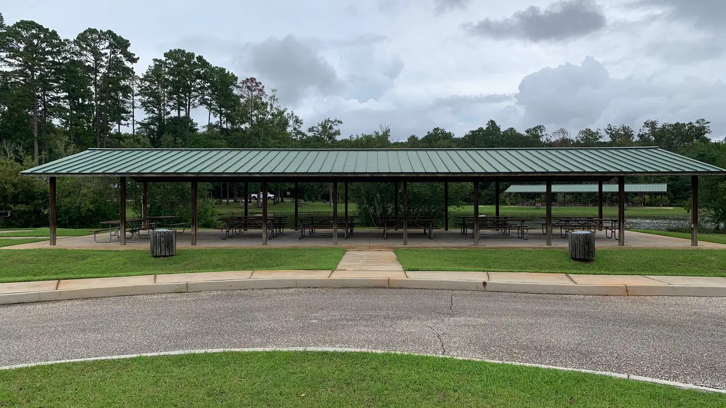
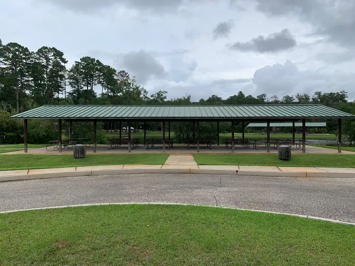
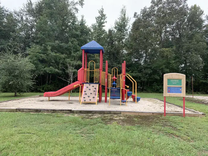
Amenities include flush toilets, drinking water, play ground, pinic tables, bbq grills and two group shelters.
Natural Features
Walter F. George Lake, sometimes called Lake Eufaula, stretches 85 miles up the Chattahoochee River. Visitors come to relax and play among the natural beauty of the area.
The lands surrounding the lake are forested with dense stands of mixed hardwoods. A wide variety of wildlife is commonly seen, including waterfowl, deer, squirrels, rabbits, eagles, hawks, bobcats and dozens of species of songbirds.
Nearby Attractions
The historic towns of Eufaula, Alabama and Cuthbert, Georgia are nearby. Eufaula boasts more than 20 structures and districts listed on the National Register of Historic Places. Beautiful antebellum mansions are located throughout both towns.
Contact Info
This location has limited staffing. Please call (229) 768-2516 for general information.The facts
- 2 bookable sites
- 2 sites for day use only
- Up to 125 people per site
Site types
- 2 Group Shelter Electric
Amenities
- Electric hookups
- Water hookups
- Pets allowed
- Campfires allowed — not available
Not recorded upstream: sewer hookups, fire pits, picnic tables, grills, shade.
2 campsites at White Oak Creek Day Use Group Shelters
Check-in 08:00 AM · Check-out 07:00 PM
| Site | Loop | Type | Entry | Surface | Water | Max rig | People | |
|---|---|---|---|---|---|---|---|---|
| White Oak Shelter #1 | — | Group Shelter Electric | — | — | Lakefront | — | 125 | 🐾 |
| White Oak Shelter #2 | — | Group Shelter Electric | — | — | Lakefront | — | 125 | 🐾 |
Getting there
From Eufaula, Alabama, take US 431 south. Turn left on SR 95 and continue for 2 miles, then follow signs to the day use area.
31.77546, -85.15797 · 31°46'31.7"N 85°9'28.7"W
Typical weather
Typically 88°F in Jul, down to 56°F in Jan.
| Jan | Feb | Mar | Apr | May | Jun | Jul | Aug | Sep | Oct | Nov | Dec | |
|---|---|---|---|---|---|---|---|---|---|---|---|---|
| High °F | 56 | 59 | 67 | 73 | 81 | 85 | 88 | 87 | 83 | 74 | 64 | 58 |
| Low °F | 36 | 38 | 45 | 50 | 59 | 66 | 68 | 69 | 64 | 54 | 44 | 37 |
| Precip in | — | — | — | — | — | — | — | — | — | — | — | — |
1991–2020 averages from the nearest NOAA station, 11 mi away — not measured at the facility itself, and elevation can make a real difference over that distance.
Map
More photos
Member photos
Common questions about White Oak Creek Day Use Group Shelters
- Can you reserve a site at White Oak Creek Day Use Group Shelters?
- Yes, White Oak Creek Day Use Group Shelters is reservable through Recreation.gov.
- How many campsites does White Oak Creek Day Use Group Shelters have?
- 2 sites.
- Are pets allowed at White Oak Creek Day Use Group Shelters?
- Yes, pets are allowed at White Oak Creek Day Use Group Shelters.
- Does White Oak Creek Day Use Group Shelters have hookups?
- Electric, Water.
- Are campfires allowed at White Oak Creek Day Use Group Shelters?
- Campfires are not allowed at White Oak Creek Day Use Group Shelters.
Camping near White Oak Creek Day Use Group Shelters
- White Oak (Creek) Campground 0.2 mi · Campground · we watch it
- Cotton Hill 8.9 mi · Campground · we watch it
- Hardridge Creek 9.9 mi · Campground · we watch it
- Bluff Creek 29.2 mi · Campground · we watch it
- White Oak Creek Day Use 0.1 mi · Activity pass
- Cheneyhatchee Creek Day Use 3.9 mi · Activity pass
- Cool Branch Day Use 5.1 mi · Activity pass
- Plains High School Visitor Center and Museum 48.4 mi · Visitor Center
- Taska Recreation Area 54.4 mi · Facility
- Tuskegee Institute National Historic Site Visitor Center 55.4 mi · Visitor Center
- Tuskegee Airmen NHS Visitor Center 56.2 mi · Visitor Center
- Uchee Shooting Range 56.4 mi · Facility
Contact
- Phone 229-768-2516
- Book Recreation.gov
Recreation.gov last updated this record on 2026-08-01.
Facility information and photographs from Recreation.gov (RIDB). SpotOpened is not affiliated with Recreation.gov or any federal agency.
Comments