Howell Run Picnic Area
Campground · West Virginia · 3 bookable sites ·
Managed by the US Army Corps of Engineers
Jennings Randolph Recreation Area (Recreation Area) · Open Access
- 3
- Bookable sites
- 20 ft
- Max rig length
- up to 30
- People per site
- 1
- Accessible site
- 1,438 ft
- Elevation
Overview
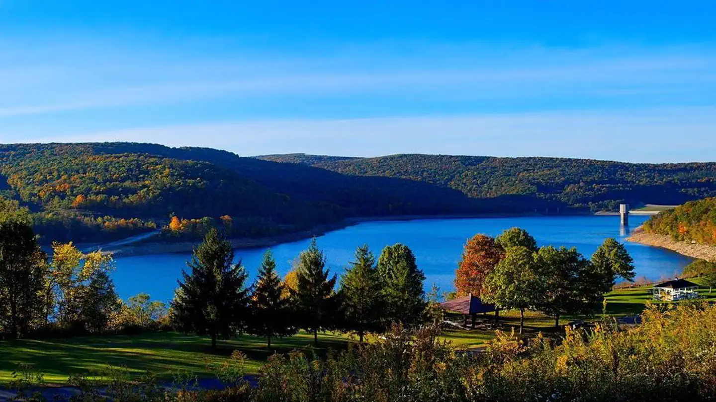
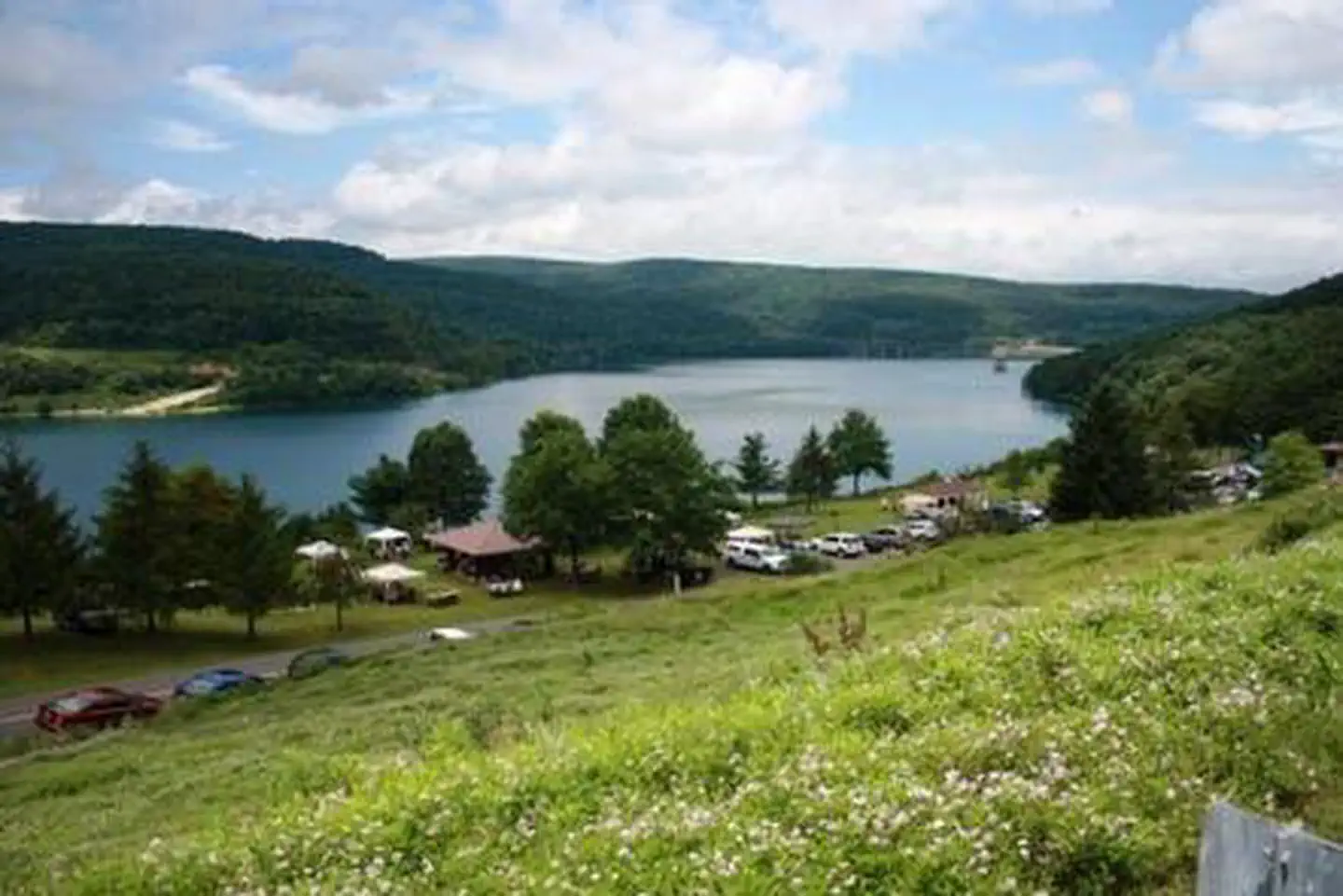
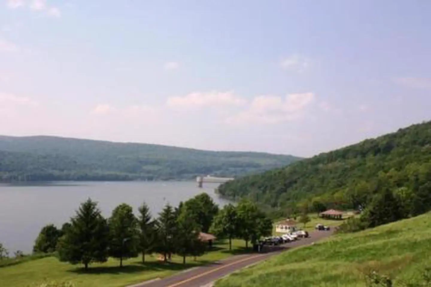
The Howell Run Picnic Area is a day use facility overlooking Jennings Randolph Lake, providing a beautiful backdrop for picnicking, sightseeing and hiking. A nesting pair of bald eagles call Jennings Randolph Lake home. Bring binoculars for the lucky chance to spot a bald eagle.Recreation
At the Howell Run Picnic Area, enjoy the panoramic view of the lake. Walk the Lakeside trail which connects the picnic area with the Shaw Beach area.Facilities
Shelter #2 is handicap accessible and has running water. It is closest to the restroom and playground equipment. The Gazebo is located in the center of the picnic area. Shelter #1 is the first shelter as you drive in. Each shelter comfortably accommodates groups of up to 30 people in a lovely lakeside setting.Natural Features
The Lake spans 952 acres in the rugged hills of the West Virginia Allegany Mountains.Nearby Attractions
A mile down the road is Shaw Beach where you can enjoy swimming. The project offers facilities for hiking, fishing, biking, swimming, boating and camping.The facts
- 3 bookable sites
- 3 sites for day use only
- 1 accessible site
- Vehicles up to 20 ft
- Up to 30 people per site
- Loops: Howell Run Picnic Area
Site types
- 3 Group Shelter Nonelectric
Amenities
- Picnic tables
- Grills
- Shade
- Pets allowed
Not recorded upstream: electric hookups, water hookups, sewer hookups, campfires allowed, fire pits.
3 campsites at Howell Run Picnic Area
Check-in 7:30 AM · Check-out 7:30 PM
| Site | Loop | Type | Entry | Surface | Max rig | People | |
|---|---|---|---|---|---|---|---|
| Gazebo | Howell Run Picnic Area | Group Shelter Nonelectric | — | Paved | 20 ft | 25 | 🐾 |
| Shelter 001 | Howell Run Picnic Area | Group Shelter Nonelectric | — | Paved | 20 ft | 30 | 🐾 |
| Shelter 002 | Howell Run Picnic Area | Group Shelter Nonelectric | — | Paved | 20 ft | 30 | ♿ 🐾 |
Getting there
From Cumberland, MD, take US 220 south to US 50W, go west to WV 42N, go north to WV 46E. Follow the signs to the Howell Run Picnic Area.
39.41694, -79.12722 · 39°25'1.0"N 79°7'38.0"W
Typical weather
Typically 81°F in Jul, down to 36°F in Jan.
| Jan | Feb | Mar | Apr | May | Jun | Jul | Aug | Sep | Oct | Nov | Dec | |
|---|---|---|---|---|---|---|---|---|---|---|---|---|
| High °F | 36 | 39 | 48 | 61 | 69 | 77 | 81 | 80 | 73 | 62 | 50 | 40 |
| Low °F | 20 | 21 | 28 | 37 | 47 | 56 | 60 | 59 | 52 | 41 | 32 | 25 |
| Precip in | 3.0 | 2.6 | 3.3 | 3.7 | 4.6 | 4.6 | 4.1 | 3.5 | 3.8 | 2.9 | 2.4 | 2.9 |
1991–2020 averages from the nearest NOAA station, 6.5 mi away — not measured at the facility itself, and elevation can make a real difference over that distance.
Map
More photos
Member photos
Common questions about Howell Run Picnic Area
- Can you reserve a site at Howell Run Picnic Area?
- Yes, Howell Run Picnic Area is reservable through Recreation.gov.
- How many campsites does Howell Run Picnic Area have?
- 3 sites.
- What is the maximum RV length at Howell Run Picnic Area?
- 20 ft. That is the longest vehicle the sites here are recorded as taking; individual sites may be shorter.
- Are pets allowed at Howell Run Picnic Area?
- Yes, pets are allowed at Howell Run Picnic Area.
Camping near Howell Run Picnic Area
- Robert W Craig 0.6 mi · Campground · we watch it
- Spring Gap Campground 24.1 mi · Campground · we watch it
- Mill Run Recreation Area 24.8 mi · Campground · we watch it
- Somerfield North Recreation Area 27.4 mi · Campground · we watch it
- Youghiogheny Recreation Area 29.1 mi · Campground · we watch it
- Outflow Camping 29.7 mi · Campground · we watch it
- Irons Mountain Hiker-Biker Campsite 24 mi · Campground
- Evitts Creek Hiker-Biker Campsite 25.2 mi · Campground
- Cumberland Visitor Center 25.2 mi · Facility
- Pigmans Ferry Hiker-Biker Campsite 26.8 mi · Campground
- Red Creek Campground 28.4 mi · Campground
- Potomac Forks Hiker-Biker Campsite 29.8 mi · Campground
Contact
- Phone 304 355-2346
- Email Bill.M.Donnellan@usace.army.mil
- Book Recreation.gov
Recreation.gov last updated this record on 2026-02-25.
Facility information and photographs from Recreation.gov (RIDB). SpotOpened is not affiliated with Recreation.gov or any federal agency.
Comments