Keller Interpretive Center, Abingdon Muster Ground
Visitor Center ·
Managed by the National Park Service
VA DHR Easement (CE) · Closed to Public Access
- 2,020 ft
- Elevation
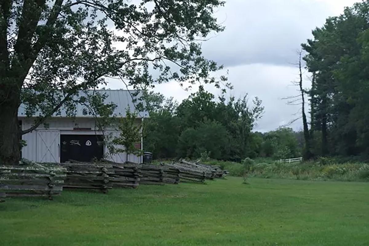
The Keller Interpretive Center at the Abingdon Muster Ground features displays and exhibits about southwest Virginia during the American Revolution, including the 400 Virginia patriots who left this spot on September 24, 1780 to join with fellow patriots at Sycamore Shoals and begin their march to the Battle of Kings Mountain. Seasonally available information, gift store, and all-year hiking trail on the Wolf Creek Trail.
Getting there
More information is available at http://www.nps.gov/ovvi/.
36.70407, -81.99389 · 36°42'14.7"N 81°59'38.0"W
Typical weather
Typically 85°F in Jul, down to 45°F in Jan.
| Jan | Feb | Mar | Apr | May | Jun | Jul | Aug | Sep | Oct | Nov | Dec | |
|---|---|---|---|---|---|---|---|---|---|---|---|---|
| High °F | 45 | 48 | 57 | 68 | 75 | 82 | 85 | 84 | 79 | 69 | 57 | 48 |
| Low °F | 24 | 27 | 33 | 41 | 50 | 59 | 62 | 61 | 55 | 43 | 33 | 27 |
| Precip in | 3.8 | 3.9 | 4.5 | 4.4 | 4.4 | 4.3 | 4.7 | 3.8 | 3.3 | 2.8 | 3.3 | 4.2 |
1991–2020 averages from the nearest NOAA station, 2.9 mi away — not measured at the facility itself, and elevation can make a real difference over that distance.
Map
Member photos
Common questions about Keller Interpretive Center, Abingdon Muster Ground
- Can you reserve a site at Keller Interpretive Center, Abingdon Muster Ground?
- No. Keller Interpretive Center, Abingdon Muster Ground is not reservable through Recreation.gov, so sites are first-come, first-served or booked elsewhere.
Camping near Keller Interpretive Center, Abingdon Muster Ground
- Jacobs Creek Campground (TN) 9.9 mi · Campground · we watch it
- Backbone Rock Recreation Area Pavilions 12.5 mi · Campground · we watch it
- Backbone Rock Campground 12.5 mi · Campground · we watch it
- Little Oak Campground 13.3 mi · Campground · we watch it
- Beartree 19.3 mi · Campground · we watch it
- South Holston Lake 11.2 mi · Facility
- Appalachian Trail Conservancy - Damascus Trail Center 12.3 mi · Visitor Center
- Little Oak Campground 13.3 mi · Campground
- Holston Mountain Area 15.2 mi · Facility
- Iron Mountains 15.9 mi · Facility
- TN 91 Scenic Drive 16.4 mi · Facility
- Beartree Recreation Area 17.5 mi · Campground
Contact
- Info Recreation.gov
Recreation.gov last updated this record on 2026-02-25.
Facility information and photographs from Recreation.gov (RIDB). SpotOpened is not affiliated with Recreation.gov or any federal agency.
Comments