Backbone Rock Campground
Campground · Tennessee · 11 bookable sites ·
Managed by the USDA Forest Service
North Cherokee National Forest & Wildlife Management Area (National Forest/Wildlife Management Area) · Restricted Access
- 11
- Bookable sites
- up to 10
- People per site
- 11
- Accessible sites
- 2,154 ft
- Elevation
Overview
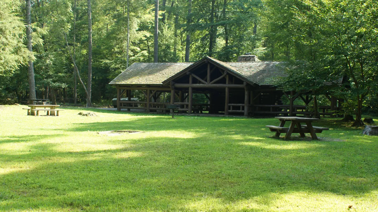
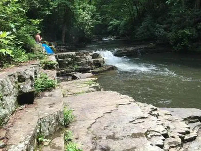
Backbone Rock Campground will open for the 2026 season on 4/27/26. The pavilion and vault toilets in the day-use area will open on 3/16/26. Backbone Rock is a small campground situated along the beautiful Beaverdam Creek at an elevation of 2,100 feet in northern Johnson County. This developed campground is popular with those visiting the nearby Backbone Rock, a tunnel originally blasted through the rock ridge for the railway. The creek side location with popular swim area and lush forest surroundings make Backbone Rock Campground particularly desirable during hot summer months. With 10 campsites and an adjacent large Civilian Conservation Corps- built reservable pavilion with lawn, Backbone Rock is a great option for a group to reserve the whole campground for retreats and other events.
Recreation
Along with camping, Beaverdam Creek is stocked with trout. The Appalachian National Scenic Trail is accessed via the Backbone Rock Trail (#53).
Facilities
There are 10 single campsites, including two double sites within Backbone Rock Campground. The campground has flush toilets. Each site contains a table, fire ring and lantern holder.Natural Features
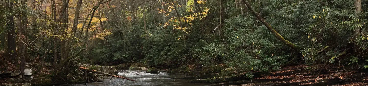
Backbone Rock Campground is located along the beautiful Beaverdam Creek nestled in the mountains of the Southern Appalachians.Nearby Attractions
The trailhead for the Backbone Rock Trail (#53) is approximately a quarter mile South of the campground on TN Highway 133. This trail is 4 miles and at the end of the trail is where it joins into the Appalachian National Scenic Trail (#1) Damascus, VA is approximately 5 minutes North of the campground. The Backbone Falls Trail (#198) is approximately a third of a mile South of the campground. This 0.4 mile loop trail takes you to the top of Backbone Falls.
The facts
- Season: 4/29/2024 – 10/15/2024 — USDA Forest Service, Aug 24, 2026
- 11 bookable sites
- 11 accessible sites
- Up to 10 people per site
- Loops: BACKBONE ROCK CAMPGROUND
Site types
- 11 Standard Nonelectric
Amenities
- Campfires allowed
- Fire pits
- Picnic tables
- Pets allowed
Not recorded upstream: electric hookups, water hookups, sewer hookups, grills, shade.
11 campsites at Backbone Rock Campground
Check-in 2:00 PM · Check-out 11:00 AM
| Site | Loop | Type | Entry | Surface | Grade | Water | Max rig | People | |
|---|---|---|---|---|---|---|---|---|---|
| 01 | BACKBONE ROCK CAMPGROUND | Standard Nonelectric | Back In | Gravel | Slight | — | — | 5 | ♿ 🐾 |
| 02 | BACKBONE ROCK CAMPGROUND | Standard Nonelectric | Back In | Gravel | Slight | — | — | 5 | ♿ 🐾 |
| 03 | BACKBONE ROCK CAMPGROUND | Standard Nonelectric | Back In | Gravel | Slight | Riverfront | — | 10 | ♿ 🐾 |
| 04 | BACKBONE ROCK CAMPGROUND | Standard Nonelectric | Back In | Gravel | Slight | Riverfront | — | 5 | ♿ 🐾 |
| 05 | BACKBONE ROCK CAMPGROUND | Standard Nonelectric | Back In | Gravel | Slight | Riverfront | — | 5 | ♿ 🐾 |
| 06 | BACKBONE ROCK CAMPGROUND | Standard Nonelectric | Back In | Gravel | Slight | Riverfront | — | 5 | ♿ 🐾 |
| 07 | BACKBONE ROCK CAMPGROUND | Standard Nonelectric | Back In | Gravel | Slight | Riverfront | — | 5 | ♿ 🐾 |
| 08 | BACKBONE ROCK CAMPGROUND | Standard Nonelectric | Back In | Gravel | Slight | Riverfront | — | 10 | ♿ 🐾 |
| 09 | BACKBONE ROCK CAMPGROUND | Standard Nonelectric | Back In | Gravel | Slight | Riverfront | — | 5 | ♿ 🐾 |
| 10 | BACKBONE ROCK CAMPGROUND | Standard Nonelectric | Back In | Gravel | Slight | Riverfront | — | 5 | ♿ 🐾 |
| Host | BACKBONE ROCK CAMPGROUND | Standard Nonelectric | Back In | Gravel | Slight | Riverfront | — | 5 | ♿ 🐾 |
Getting there
36.59389, -81.81500 · 36°35'38.0"N 81°48'54.0"W
Typical weather
Typically 82°F in Jul, down to 46°F in Jan.
| Jan | Feb | Mar | Apr | May | Jun | Jul | Aug | Sep | Oct | Nov | Dec | |
|---|---|---|---|---|---|---|---|---|---|---|---|---|
| High °F | 46 | 49 | 57 | 67 | 74 | 80 | 82 | 81 | 77 | 68 | 58 | 49 |
| Low °F | 23 | 25 | 31 | 39 | 49 | 56 | 60 | 59 | 53 | 41 | 31 | 26 |
| Precip in | 3.7 | 3.4 | 4.1 | 4.3 | 5.2 | 4.5 | 5.0 | 4.2 | 3.3 | 2.8 | 2.9 | 3.9 |
1991–2020 averages from the nearest NOAA station, 8.3 mi away — not measured at the facility itself, and elevation can make a real difference over that distance.
Map
More photos
Member photos
Common questions about Backbone Rock Campground
- Can you reserve a site at Backbone Rock Campground?
- Yes, Backbone Rock Campground is reservable through Recreation.gov.
- How many campsites does Backbone Rock Campground have?
- 11 sites.
- Are pets allowed at Backbone Rock Campground?
- Yes, pets are allowed at Backbone Rock Campground.
- Are campfires allowed at Backbone Rock Campground?
- Campfires are allowed at Backbone Rock Campground. Check for a current fire restriction before you go.
Also listed by
Backbone Rock Campground also appears in other federal recreation data. Facts below are matched by name and location, not confirmed by Backbone Rock Campground's operator.
USDA Forest Service — data as of Aug 24, 2026
- Camping is $10 for single site (8 sites) and $20 for double site (2 sites). One pavilion is reservable at $50 per day. (Pavilion is currently closed for renovations).
Restrictions:
- Starting Nov 1, 2023 the Large reservable pavilion and the smaller non-reservable pavilion will be CLOSED due to Historic Preservation Repair. This closure will last until approx Sept 23, 2024.
- Campsites are limited to a single family or not more than 5 people and 2 vehicles. Double campsites allow for up to 10 individuals and 4 vehicles.
- No alcoholic beverages are allowed in the area.
- No burning plastic or other non-wood materials except local wood in fire pits and charcoal in grills.
- Food storage restrictions apply at all areas on the Cherokee National Forest. All food and beverages must be stored in an approved bear-proof container , your locked vehicle or hard-sided camper at all times unless being eaten, prepared, or transported.
- Pets must be on a maximum 6 ft. leash at all times, and pick up after them.
- It is your responsibility to read, know, understand, and follow all specific rules and regulations which are also posted at the campground.
Camping near Backbone Rock Campground
- Backbone Rock Recreation Area Pavilions less than 0.1 mi · Campground · we watch it
- Jacobs Creek Campground (TN) 10.5 mi · Campground · we watch it
- Beartree 11.2 mi · Campground · we watch it
- Little Oak Campground 14.6 mi · Campground · we watch it
- Appalachian Trail Conservancy - Damascus Trail Center 3.2 mi · Visitor Center
- Iron Mountains 8.1 mi · Facility
- Beartree Recreation Area 9 mi · Campground
- Whitetop Station Visitor Center 11 mi · Facility
- Keller Interpretive Center, Abingdon Muster Ground 12.5 mi · Visitor Center
- TN 91 Scenic Drive 12.9 mi · Facility
- South Holston Lake 13.3 mi · Facility
- Little Oak Campground 13.7 mi · Campground
Contact
- Phone 423-735-1500
- Email wataugarec@gmail.com
- Book Recreation.gov
Recreation.gov last updated this record on 2026-03-11.
Facility information and photographs from Recreation.gov (RIDB). SpotOpened is not affiliated with Recreation.gov or any federal agency.
Comments