Greenville Campground
Campground · 19 bookable sites ·
Managed by the USDA Forest Service
Plumas National Forest (NF) · Open Access
- 19
- Bookable sites
- up to 8
- People per site
- 3,630 ft
- Elevation
Overview
Greenville Campground (3,500 feet) is a small campground, located on Plumas National Forest on the edge of scenic Indian Valley near CA Hwy 70, approximately one mile from the historic town of Greenville, CA. Conveniently located, numerous attractions are an easy drive in almost any direction!
Recreation
Beautiful Lake Almanor is a mere nine miles away, offering boating, swimming, hiking, biking, kayaking and fishing opportunities. In addition, fishing, kayaking, hiking and biking are less than five miles away at Round Valley Reservoir. Bird watching is a big attraction at both Round Valley and Lake Almanor. Biking and other sports equipment are available in nearby towns of Quincy & Chester.
Facilities
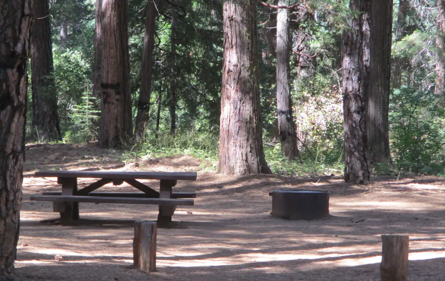
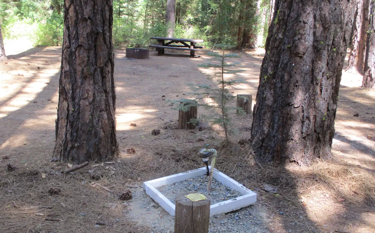
Each campsite has a picnic table and fire ring. Water spigots are available throughout the campground. There are vault toilets and a dumpster for garbage.
Natural Features
The campground scenery is a mix of evergreen trees, ferns, grasses and shrubs. There is plenty of shade and a small, typically shallow, creek meanders behind the campground. Wildflowers dot the area in the spring.
Nearby Attractions
Three quaint, small towns - Greenville, Crescent Mills, and Taylorsville, are located nearby in Indian Valley. They offer groceries, gas, dining, antique shops, museums and a nine-hole golf course, in addition to a beautiful drive or bike “around the valley.” If you are interested in volcanoes, geology or National Parks, take a picturesque 47 mile drive to Lassen Volcanic National Park. There you will find all four types of volcanoes found around the world and the most thermal features outside of Yellowstone!
The facts
- 19 bookable sites
- Up to 8 people per site
- Loops: A
Site types
- 19 Standard Nonelectric
Amenities
- Campfires allowed
- Fire pits
- Picnic tables
- Shade
- Pets allowed
- Water hookups — not available
- Sewer hookups — not available
Not recorded upstream: electric hookups, grills.
19 campsites at Greenville Campground
Check-in 2:00 PM · Check-out 12:00 PM
| Site | Loop | Type | Entry | Surface | Max rig | People | |
|---|---|---|---|---|---|---|---|
| 1 | A | Standard Nonelectric | Back In | — | — | 8 | 🐾 |
| 10 | A | Standard Nonelectric | Back In | — | — | 8 | 🐾 |
| 11 | A | Standard Nonelectric | Back In | — | — | 8 | 🐾 |
| 12 | A | Standard Nonelectric | Back In | — | — | 8 | 🐾 |
| 13 | A | Standard Nonelectric | Back In | — | — | 8 | 🐾 |
| 14 | A | Standard Nonelectric | — | — | — | 8 | 🐾 |
| 15 | A | Standard Nonelectric | Back In | — | — | 8 | 🐾 |
| 16 | A | Standard Nonelectric | Back In | — | — | 8 | 🐾 |
| 17 | A | Standard Nonelectric | Back In | — | — | 8 | 🐾 |
| 18 | A | Standard Nonelectric | Back In | — | — | 8 | 🐾 |
| 19 | A | Standard Nonelectric | Back In | — | — | 8 | 🐾 |
| 2 | A | Standard Nonelectric | Back In | — | — | 8 | 🐾 |
| 3 | A | Standard Nonelectric | Back In | — | — | 8 | 🐾 |
| 4 | A | Standard Nonelectric | Back In | — | — | 8 | 🐾 |
| 5 | A | Standard Nonelectric | Back In | — | — | 8 | 🐾 |
| 6 | A | Standard Nonelectric | Back In | — | — | 8 | 🐾 |
| 7 | A | Standard Nonelectric | Back In | — | — | 8 | 🐾 |
| 8 | A | Standard Nonelectric | Back In | — | — | 8 | 🐾 |
| 9 | A | Standard Nonelectric | Back In | — | — | 8 | 🐾 |
Getting there
One mile from Greenville, California and nine miles from Lake Almanor, California.
40.15792, -120.95676 · 40°9'28.5"N 120°57'24.3"W
Typical weather
Typically 86°F in Jul, down to 41°F in Dec.
| Jan | Feb | Mar | Apr | May | Jun | Jul | Aug | Sep | Oct | Nov | Dec | |
|---|---|---|---|---|---|---|---|---|---|---|---|---|
| High °F | 42 | 45 | 51 | 58 | 68 | 78 | 86 | 85 | 79 | 66 | 50 | 41 |
| Low °F | 25 | 26 | 29 | 32 | 39 | 45 | 50 | 49 | 44 | 36 | 30 | 25 |
| Precip in | 6.4 | 6.4 | 5.7 | 2.9 | 1.9 | 0.8 | 0.1 | 0.2 | 0.3 | 1.9 | 3.6 | 6.8 |
1991–2020 averages from the nearest NOAA station, 7 mi away — not measured at the facility itself, and elevation can make a real difference over that distance.
Map
More photos
Member photos
Common questions about Greenville Campground
- Can you reserve a site at Greenville Campground?
- Yes, Greenville Campground is reservable through Recreation.gov.
- How many campsites does Greenville Campground have?
- 19 sites.
- Are pets allowed at Greenville Campground?
- Yes, pets are allowed at Greenville Campground.
- Does Greenville Campground have hookups?
- No hookups are recorded here.
- Are campfires allowed at Greenville Campground?
- Campfires are allowed at Greenville Campground. Check for a current fire restriction before you go.
Also listed by
Greenville Campground also appears in other federal recreation data. Facts below are matched by name and location, not confirmed by Greenville Campground's operator.
USDA Forest Service — data as of Aug 24, 2026
- Senior and Access passes honored
Restrictions:
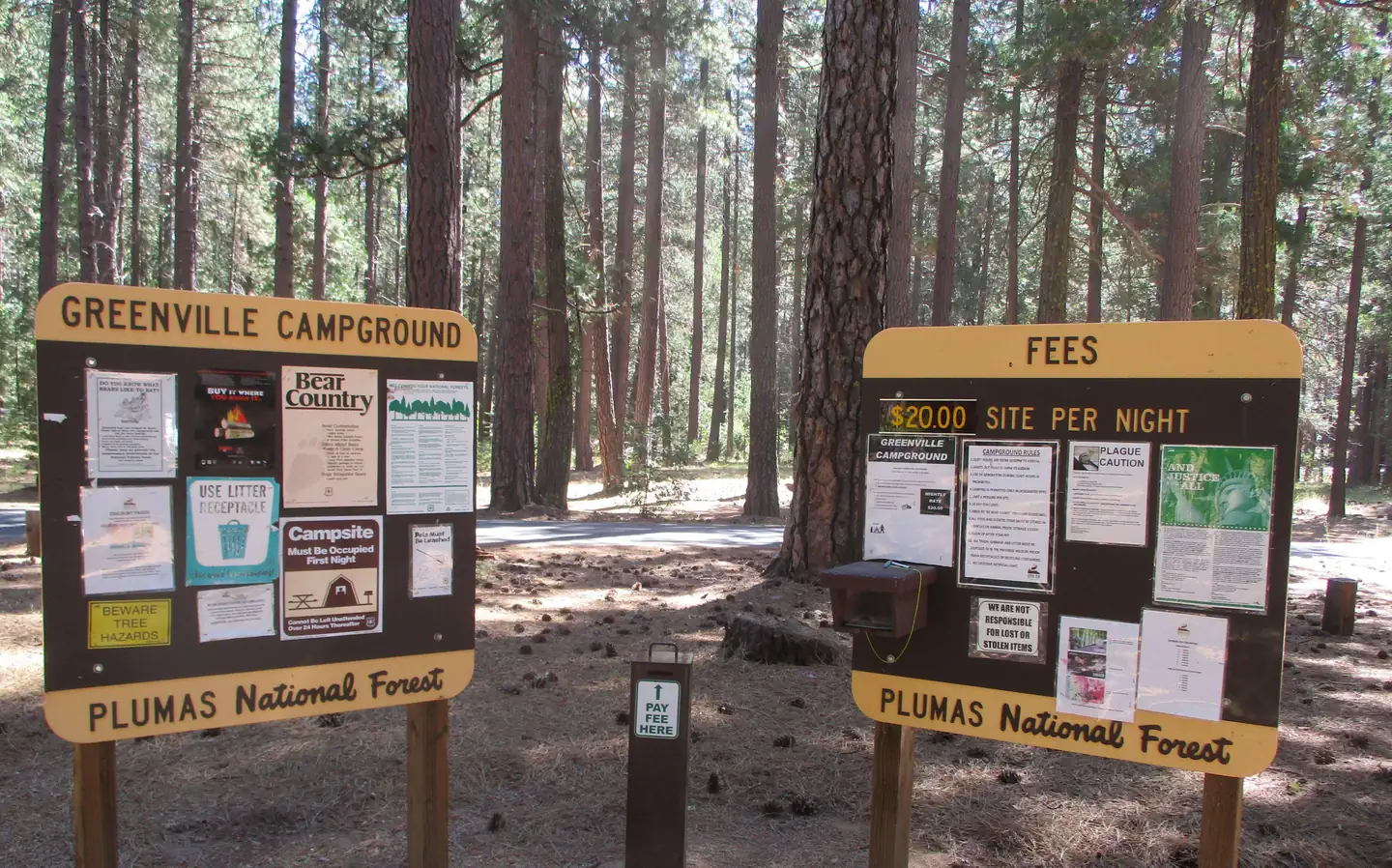
- 14 day camping limit
- 6 people per campsite, 12 people for double sites
- 2 vehicles per campsite
- OHV riding is not allowed:
- Store food, trash and scented items appropriately - Be Bear Aware
Camping near Greenville Campground
- Spanish Creek Campground 9.1 mi · Campground · we watch it
- Hallsted 11.5 mi · Campground · we watch it
- Almanor 11.9 mi · Campground · we watch it
- Snake Lake Campground and Equestrian Camp 13.1 mi · Campground · we watch it
- Round Valley Reservoir Day Use 3.2 mi · Campground
- Spanish Creek Campground 8.4 mi · Campground
- Almanor RV Dump Station 13 mi · Campground
- Legacy Campground 13 mi · Campground
- Brady's Camp Campground 14 mi · Campground
- Red Bridge Campground 14 mi · Campground
- Long Point Group Campground (25 people per site) 14 mi · Campground
- Roxie Peconom Campground 15.7 mi · Campground
Contact
- Phone 530-283-0555--Mt. Hough Ranger District
- Email adam@royalelkparkmanagement.com
- Book Recreation.gov
Recreation.gov last updated this record on 2026-03-11.
Facility information and photographs from Recreation.gov (RIDB). SpotOpened is not affiliated with Recreation.gov or any federal agency.
Comments