Tadra Point
Campground · Texas · 1 bookable site ·
Managed by the USDA Forest Service
Lyndon B. Johnson National Grassland (NF) · Open Access
- 1
- Bookable site
- 965 ft
- Elevation
Overview
This location is available on a first-come, first-served basis only. Visitors are required to physically arrive at the campground to purchase and claim a site. Once on-site, you may be able to pay for your campsite(s) by scanning a QR code using the Recreation.gov mobile app, and the Scan and Pay feature.
If this option is available, you will need to first download the free Recreation.gov mobile app https://www.recreation.gov/mobile-app prior to your arrival as some remote areas have limited or no cellular service.
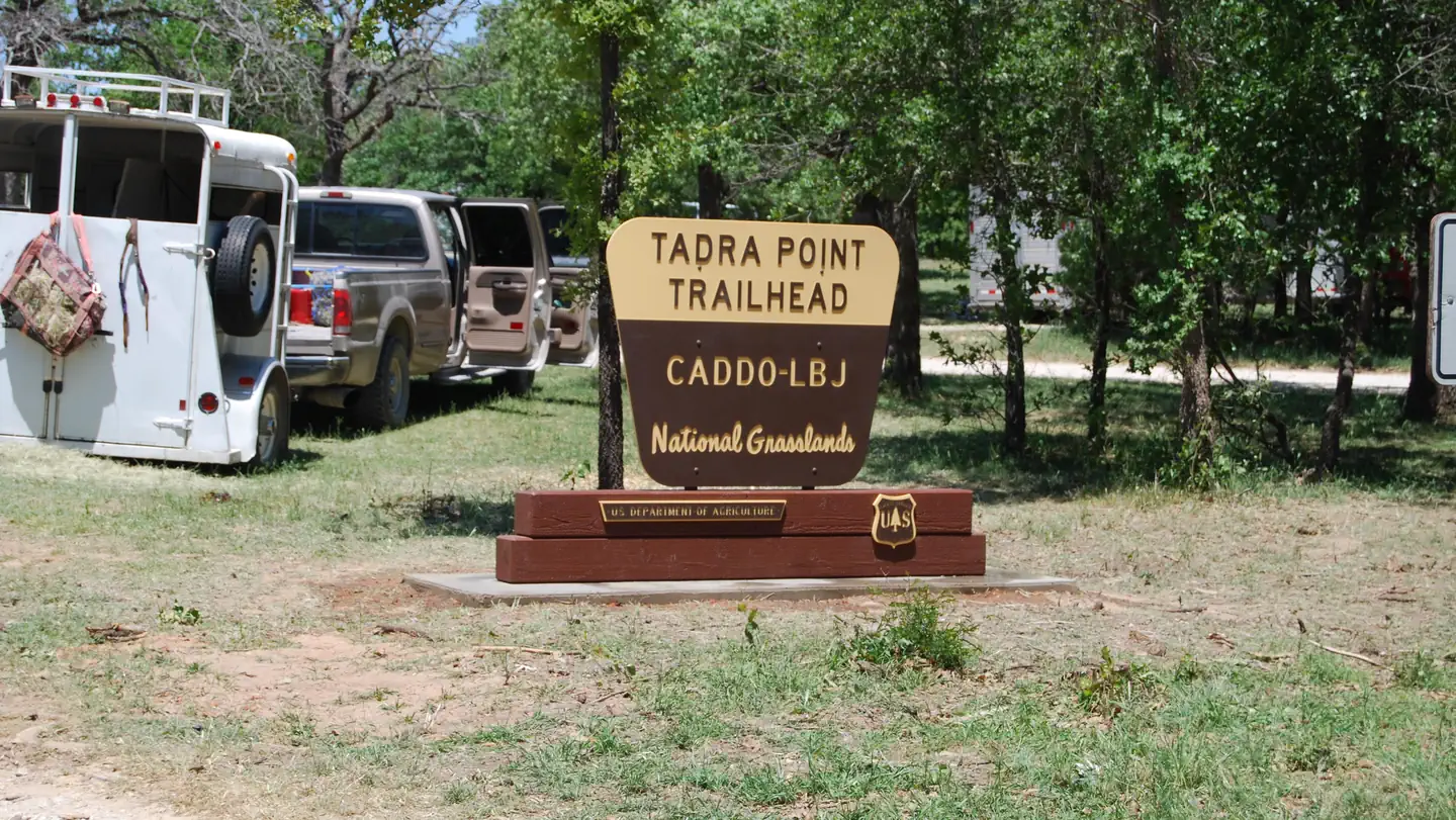
TADRA Point Trailhead has 20 parking spurs and 6 pull thoughs with numerous hitching posts available. There is water for horses and a pavilion with grill.
Facilities
Located south of Cottonwood Lake along FS Road 900, TADRA Point Trailhead is at the confluence of the five loops that comprise the 75-mile LBJ Multi-Use Trail System.
The trailhead was constructed through the volunteer efforts of local equestrian groups and is used throughout the year as headquarters for various non-commercial group events, including equestrian endurance rides.
Nearby Attractions
Cottonwood Lake and Little Cottonwood Lake
The facts
- 1 bookable site
- 4 sites in total, including non-bookable
- Loops: Scan and Pay
Site types
- 3 Management
- 1 Standard Nonelectric
4 campsites at Tadra Point
| Site | Loop | Type | Entry | Surface | Max rig | People | |
|---|---|---|---|---|---|---|---|
| ScanPay 2 | Scan and Pay | Management | — | — | — | — | |
| ScanPay 3 | Scan and Pay | Management | — | — | — | — | |
| ScanPay 4 | Scan and Pay | Management | — | — | — | — | |
| Standard | Scan and Pay | Standard Nonelectric | — | — | — | — |
Getting there
From Decatur: North on FM 730 for 10 miles, left on CR 2461 (Cottonwood Cemetery Road), at fork turn right on CR 2560 for 3 miles then left on FS 900 for 2 miles. TADRA Point Trailhead will be on the right.
33.37150, -97.58660 · 33°22'17.4"N 97°35'11.8"W
Typical weather
| Jan | Feb | Mar | Apr | May | Jun | Jul | Aug | Sep | Oct | Nov | Dec | |
|---|---|---|---|---|---|---|---|---|---|---|---|---|
| High °F | — | — | — | — | — | — | — | — | — | — | — | — |
| Low °F | — | — | — | — | — | — | — | — | — | — | — | — |
| Precip in | 1.7 | 2.4 | 3.2 | 3.1 | 4.6 | 4.0 | 2.0 | 1.9 | 3.4 | 3.9 | 2.5 | 2.3 |
1991–2020 averages from the nearest NOAA station, 6.5 mi away — not measured at the facility itself, and elevation can make a real difference over that distance.
Map
More photos
Member photos
Common questions about Tadra Point
- Can you reserve a site at Tadra Point?
- Yes, Tadra Point is reservable through Recreation.gov.
- How many campsites does Tadra Point have?
- 4 sites in total, of which 1 can be booked.
Camping near Tadra Point
- Black Creek Lake 2.1 mi · Campground · we watch it
- Valley View Group Use 2.7 mi · Campground · we watch it
- Hickory Creek (TX) 36.4 mi · Campground · we watch it
- Westlake Day Use 38.6 mi · Campground · we watch it
- Murrell Park 38.7 mi · Campground · we watch it
- North Holiday Park 50.1 mi · Campground · we watch it
- Longhorn 50.5 mi · Campground · we watch it
- Holiday (Texas) 52.3 mi · Campground · we watch it
- Valley View Group Use: (940) 627-5475 2.7 mi · Campground
- Bureau of Engraving and Printing: Fort Worth 35.5 mi · Federal
- The Ashton Hotel 45.2 mi · Facility
- Hilton Fort Worth 45.6 mi · Facility
Contact
- Phone N/A
- Book Recreation.gov
Recreation.gov last updated this record on 2026-02-25.
Facility information and photographs from Recreation.gov (RIDB). SpotOpened is not affiliated with Recreation.gov or any federal agency.
Comments