Slocum Creek Campground
Facility · Oregon ·
Managed by the Bureau of Land Management
Vale Malheur Field Office (Bureau of Land Management OR) · Open Access
- 2,719 ft
- Elevation
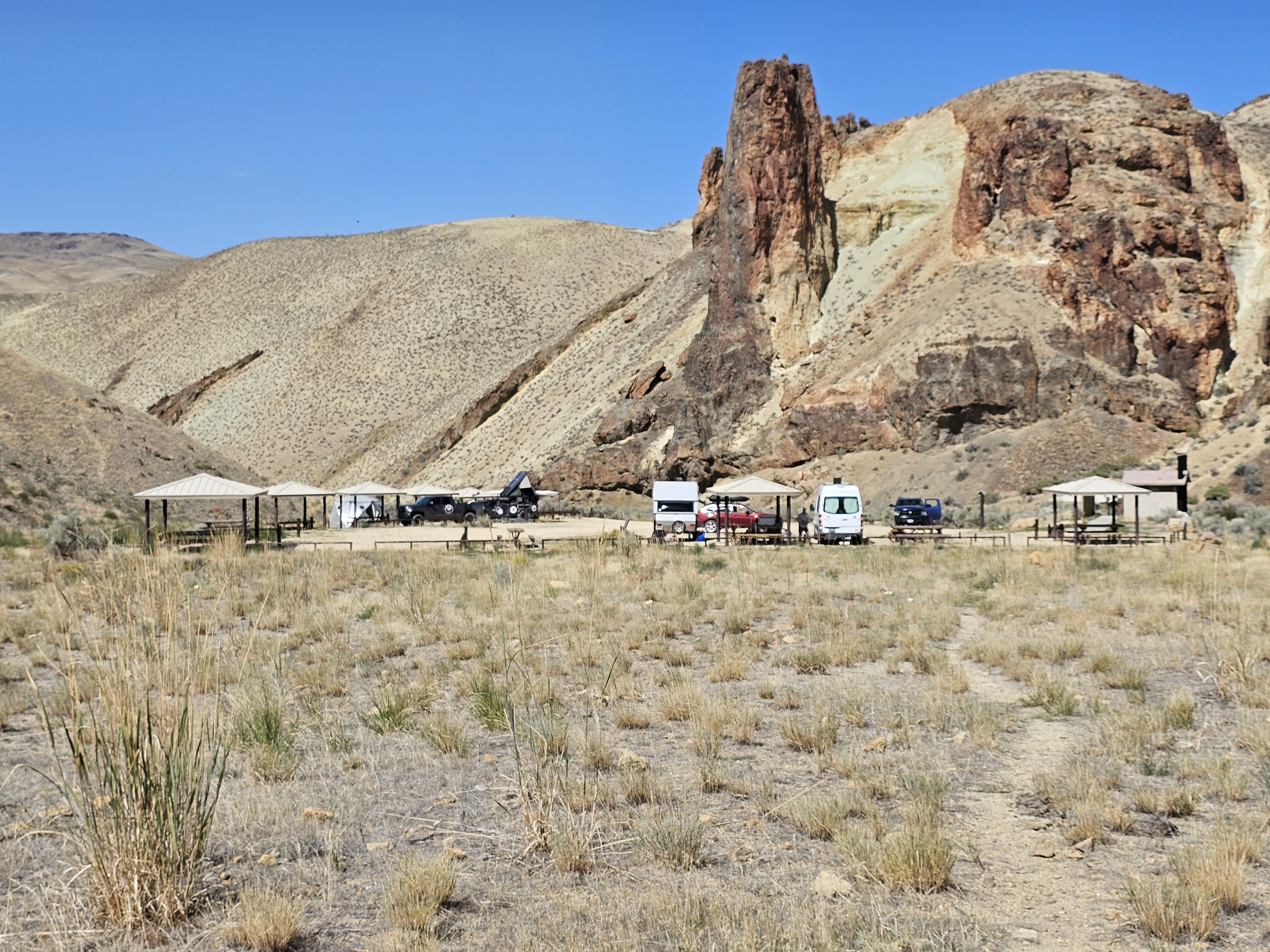
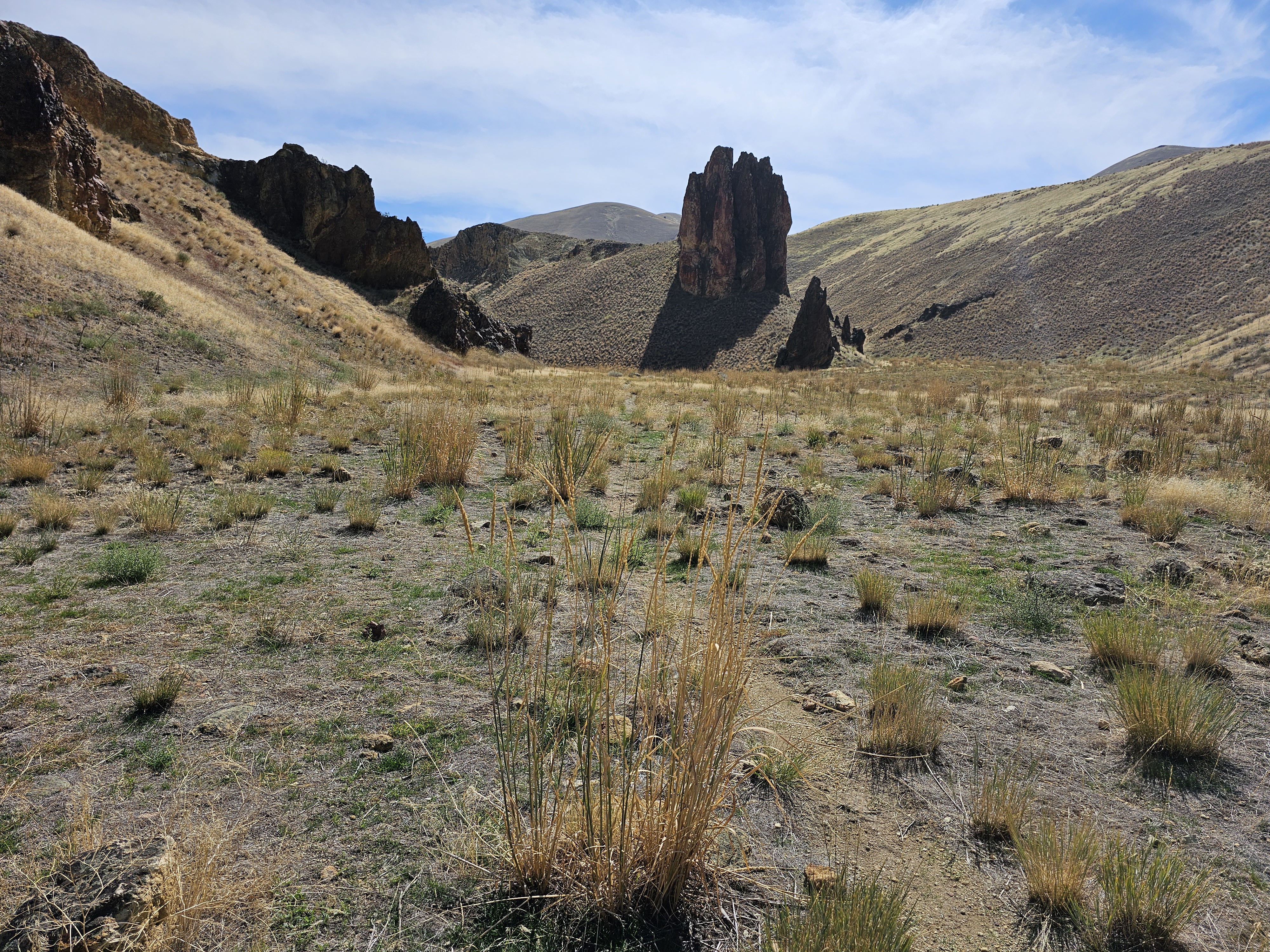
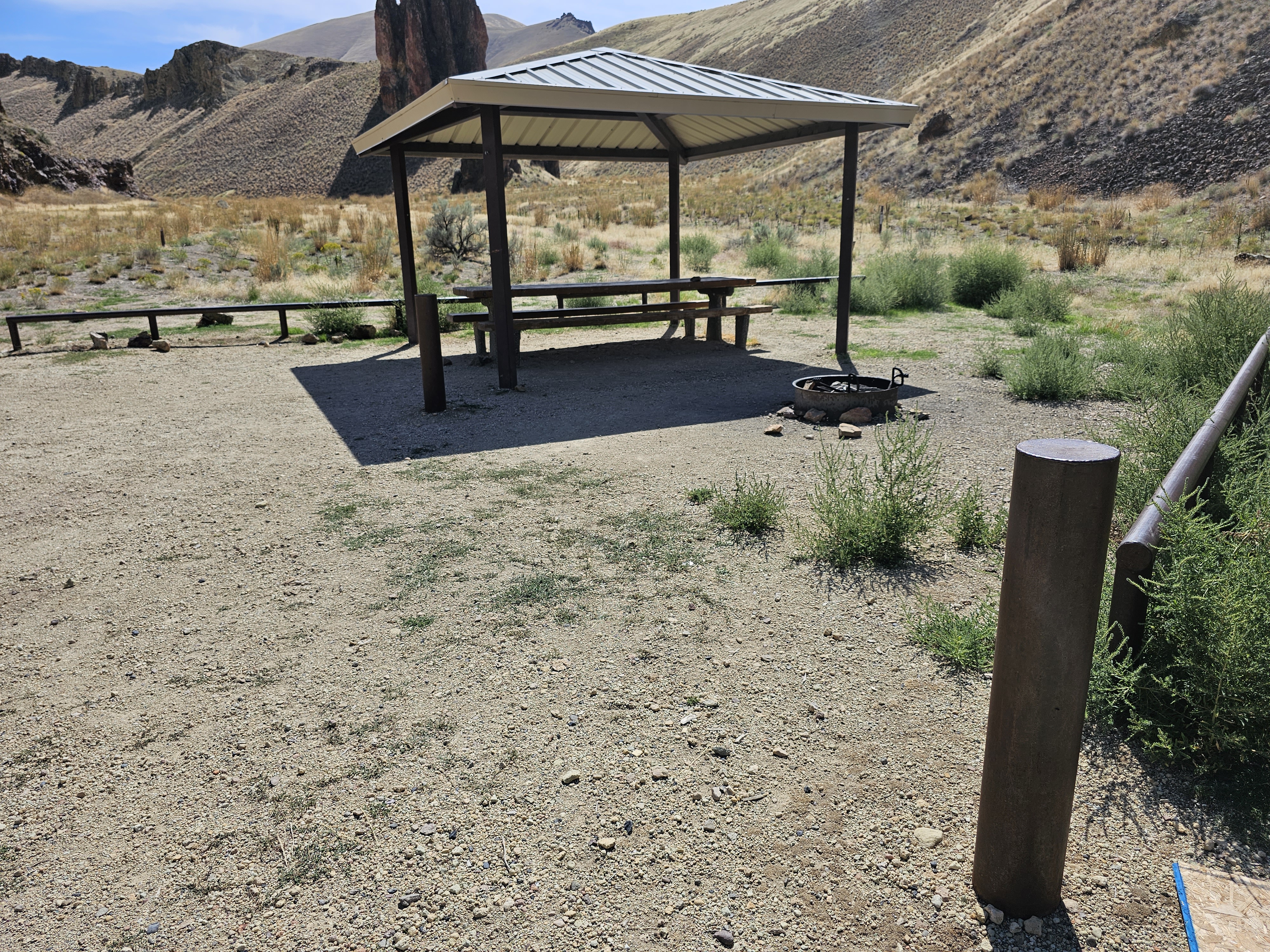
Nestled in a side canyon near the mouth of Leslie Gulch, Slocum Creek Campground makes a good base for gulch explorations. Cool off in the waters of nearby Lake Owyhee or hike the Leslie Gulch Area of Critical Environmental Concern. The campground includes nine campsites, eight of which contain some accessible amenities. The low light of early morning and late evening transforms the abutting rock outcrops of Slocum Creek Wilderness Study Area into magnificent fiery wonder.
Know Before You Go
- Camping and fires are limited to the Slocum Creek campground.
- Maximum stay is 14 days. Overnight backpacking and horses are not allowed in the Area of Critical Environmental Concern.
- Vehicles are limited to existing roads and parking areas.
- Collection of vegetation, rocks and firewood is prohibited.
- Drinking water is not available.
- Flash floods, wet roads, or winter conditions can make the road impassable high-clearance vehicles are recommended. Large recreational vehicles are not recommended.
Getting there
Leslie Gulch is located east of the Owyhee Reservoir in Malheur County, Oregon. From Highway 95 in Idaho, go west 8 miles on McBride Creek Road to Rockville, then 1 mile north to Leslie Gulch Road and 15 miles west. You can also take Succor Creek Road from either Oregon Highway 201 or US-95 to the Leslie Gulch Road Junction.
43.32140, -117.31891 · 43°19'17.0"N 117°19'8.1"W
Typical weather
Typically 91°F in Jul, down to 38°F in Dec.
| Jan | Feb | Mar | Apr | May | Jun | Jul | Aug | Sep | Oct | Nov | Dec | |
|---|---|---|---|---|---|---|---|---|---|---|---|---|
| High °F | 39 | 44 | 54 | 62 | 71 | 80 | 91 | 89 | 78 | 63 | 48 | 38 |
| Low °F | 22 | 25 | 28 | 32 | 39 | 44 | 49 | 48 | 39 | 31 | 25 | 21 |
| Precip in | — | — | — | — | — | — | — | — | — | — | — | — |
1991–2020 averages from the nearest NOAA station, 10.7 mi away — not measured at the facility itself, and elevation can make a real difference over that distance.
Map
Fees and stay limits
No fees.
Stay limit: 14 days
From Recreation.gov, which is not always current. The operator's own page is the authority on what you will be charged.
More photos
Member photos
Common questions about Slocum Creek Campground
- Can you reserve a site at Slocum Creek Campground?
- No. Slocum Creek Campground is not reservable through Recreation.gov, so sites are first-come, first-served or booked elsewhere.
- How long can you stay at Slocum Creek Campground?
- 14 days
Camping near Slocum Creek Campground
- Birch Creek Historic Ranch 11.8 mi · Facility
- Jordan Craters Area of Environmental Concern 14.1 mi · Facility
- Snively Hot Springs Recreation Site 28.8 mi · Facility
- Hemingway Butte OHV Trailhead 34 mi · Facility
- Silver City Campground 36.9 mi · Campground
- Halverson Bar/Lake 41.5 mi · Facility
- Dedication Point Overlook 46.6 mi · Facility
- Swan Falls Picnic Area 47.7 mi · Facility
- North Fork Campground 53.2 mi · Campground
- Chukar Park Campground 53.5 mi · Facility
- Three Forks 54.2 mi · Facility
- Little Gem 57.3 mi · Facility
Contact
- Phone 541-473-3144
- Email BLM_OR_VL_Mail@blm.gov
- Info Recreation.gov
Recreation.gov last updated this record on 2026-04-23.
Facility information and photographs from Recreation.gov (RIDB). SpotOpened is not affiliated with Recreation.gov or any federal agency.
Comments