Raab
Campground · Oregon · 6 bookable sites ·
Managed by the USDA Forest Service
Mt. Hood National Forest (NF) · Open Access
- 6
- Bookable sites
- 26 ft
- Max rig length
- up to 60
- People per site
- 1
- Accessible site
- 1,555 ft
- Elevation
Overview
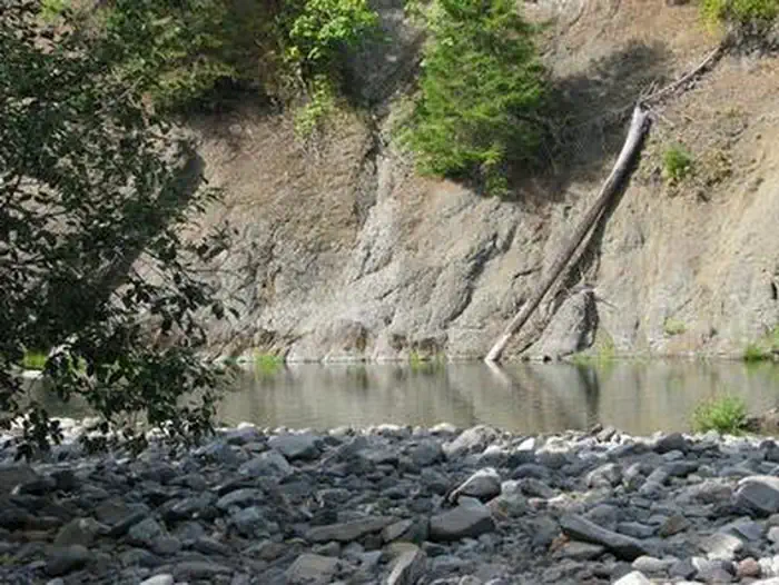
Raab Group Campground is a new group campground for those that are looking for multiple campsites or have large families. It is located on the banks of the Collawash River, which flows into the mighty Clackamas River in the mountains of northern Oregon.
Recreational opportunities are not far from the campground, making it the perfect getaway spot. It can comfortably accommodate any outdoorsman, including the hiking enthusiast, the fly fisherman, bicyclist and whitewater rafter, among others who wish to enjoy nature.
Recreation
Catch and release fishing for trout is allowed on the main fork of the Collawash, but the streams are closed to fishing for salmon and steelhead. Whitewater rafting and kayaking are popular activities. At least one 5-mile stretch of the more than 17-mile river boasts class III-IV whitewater.The Collawash flows into the nearby Clackamas River, which also provides miles of wild water as it snakes through the scenic Cascade Range. Anglers enjoy fishing the Clackamas for steelhead, Kokanee and Chinook salmon. The river provides a perfect habitat for the federally protected bald eagle and northern spotted owl, as well as an occasional peregrine falcon. A variety of other wildlife makes its home in the area.
Visitors enjoy hiking in the Bull of the Woods Wilderness, which is south of the campground. Several primitive forest roads nearby are open to mountain biking.
West Cascades Scenic Byway runs just outside the campground, meandering along the Wild and Scenic Clackamas River.
Facilities
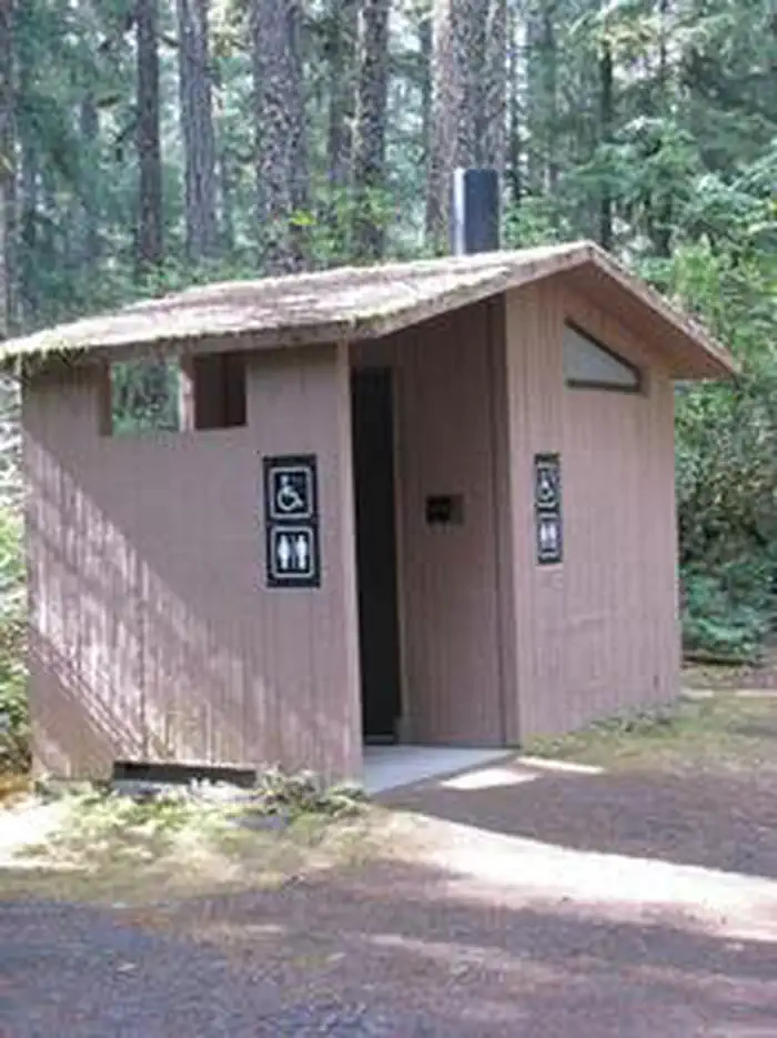
The campground offers six group campsites for tent and RV camping. Large RVs, however, might have a hard time negotiating tight turns within the campground .The sites are limited to no more than four RV�s per RV group. Utility hookups are not available and parking surfaces are mostly gravel and mossy.The group sites can accommodate between 30 to 60 people. Picnic tables and campfire rings with grills are provided, as are accessible vault toilets. Drinking water is not available. Firewood & water is available for purchase at the camp store.
Natural Features
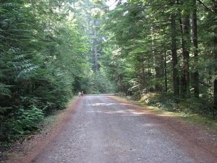
The campground is located southeast of the city of Estacada, on the Collawash River at an elevation of about 1,500 feet. It lies in a dense forest of old-growth Douglas fir trees and plentiful rhododendron bushes that provide privacy between campsites.Nearby Attractions
Bagby Hot Springs is located about 10 miles southwest of the campground. A popular site for soaking and relaxing, the springs are in a heavily wooded area in the scenic Cascade Range. A historic guard station was built there in 1913 and the available bathhouses are fed by three major hot springs and several minor outlets in the area.The facts
- 6 bookable sites
- 1 accessible site
- Vehicles up to 26 ft
- Up to 60 people per site
- Loops: Loop 1, Loop 2
Site types
- 6 Group Standard Area Nonelectric
Amenities
- Campfires allowed
- Fire pits
- Picnic tables
- Grills
- Shade
- Pets allowed
- Water hookups — not available
- Sewer hookups — not available
Not recorded upstream: electric hookups.
6 campsites at Raab
Check-in 2:00 PM · Check-out 12:00 PM
| Site | Loop | Type | Entry | Surface | Grade | Water | Max rig | People | |
|---|---|---|---|---|---|---|---|---|---|
| A | Loop 1 | Group Standard Area Nonelectric | Back In | Gravel | Slight | — | 26 ft | 60 | ♿ 🐾 |
| B | Loop 1 | Group Standard Area Nonelectric | Back In | Gravel | Slight | — | 26 ft | 60 | 🐾 |
| F | Loop 1 | Group Standard Area Nonelectric | Back In | Gravel | Moderate | — | 26 ft | 60 | 🐾 |
| C | Loop 2 | Group Standard Area Nonelectric | Back In | Gravel | Moderate | — | — | 60 | 🐾 |
| D | Loop 2 | Group Standard Area Nonelectric | Back In | Gravel | Moderate | — | — | 60 | 🐾 |
| E | Loop 2 | Group Standard Area Nonelectric | Back In | Gravel | Moderate | Riverfront | — | 60 | 🐾 |
Getting there
45.02503, -122.06714 · 45°1'30.1"N 122°4'1.7"W
Typical weather
Typically 79°F in Aug, down to 41°F in Dec.
| Jan | Feb | Mar | Apr | May | Jun | Jul | Aug | Sep | Oct | Nov | Dec | |
|---|---|---|---|---|---|---|---|---|---|---|---|---|
| High °F | 41 | 46 | 51 | 57 | 64 | 69 | 78 | 79 | 73 | 59 | 47 | 41 |
| Low °F | 33 | 33 | 35 | 39 | 44 | 49 | 53 | 52 | 48 | 42 | 37 | 33 |
| Precip in | 9.3 | 7.1 | 8.0 | 6.2 | 4.4 | 3.0 | 0.6 | 0.7 | 2.1 | 6.2 | 10.1 | 11.3 |
1991–2020 averages from the nearest NOAA station, 6.7 mi away — not measured at the facility itself, and elevation can make a real difference over that distance.
Map
More photos
Member photos
Common questions about Raab
- Can you reserve a site at Raab?
- Yes, Raab is reservable through Recreation.gov.
- How many campsites does Raab have?
- 6 sites.
- What is the maximum RV length at Raab?
- 26 ft. That is the longest vehicle the sites here are recorded as taking; individual sites may be shorter.
- Are pets allowed at Raab?
- Yes, pets are allowed at Raab.
- Does Raab have hookups?
- No hookups are recorded here.
- Are campfires allowed at Raab?
- Campfires are allowed at Raab. Check for a current fire restriction before you go.
Also listed by
Raab also appears in other federal recreation data. Facts below are matched by name and location, not confirmed by Raab's operator.
USDA Forest Service — data as of Aug 24, 2026
Restrictions:
- Vehicles 24 ft. maximum.
Camping near Raab
- Riverside (Mt. Hood National Forest, OR) 2.3 mi · Campground · we watch it
- Kingfisher 3.5 mi · Campground · we watch it
- Rainbow (Or) 3.9 mi · Campground · we watch it
- Ripplebrook 4 mi · Campground · we watch it
- Indian Henry 5.8 mi · Campground · we watch it
- Lake Harriet Campground 6.3 mi · Campground · we watch it
- Riverford Campground 0.7 mi · Campground
- Riverside Campground 1.3 mi · Campground
- Little Fan Creek Camp 2.7 mi · Campground
- Bagby Campground 7 mi · Campground
- Shellrock Creek Campground 8.2 mi · Campground
- Hideaway Lake Campground 8.4 mi · Campground
Contact
- Phone 503-630-5721
- Email clm@clm-services.com
- Book Recreation.gov
Recreation.gov last updated this record on 2026-02-25.
Facility information and photographs from Recreation.gov (RIDB). SpotOpened is not affiliated with Recreation.gov or any federal agency.
Comments