Magone Lake
Campground · Oregon · 2 bookable sites ·
Managed by the USDA Forest Service
Malheur National Forest (NF) · Open Access
- 2
- Bookable sites
- 50 ft
- Max rig length
- up to 75
- People per site
- 2
- Accessible sites
- 5,014 ft
- Elevation
Overview
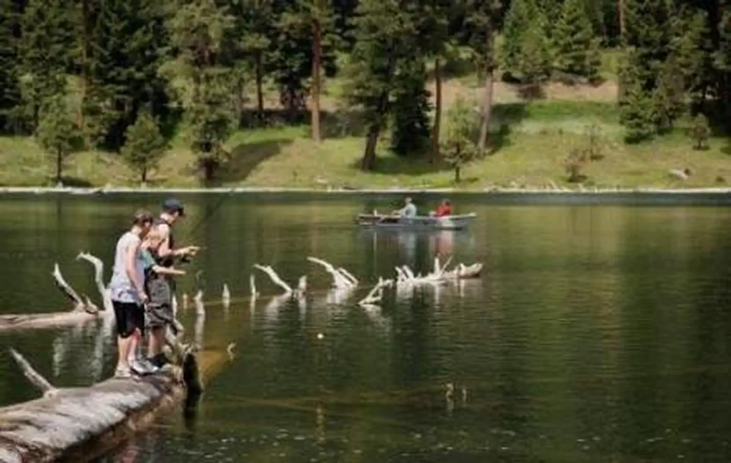
Magone Lake Campground is situated along its namesake lake in the northern reaches of Malheur National Forest in the Blue Mountains of eastern Oregon. Visitors enjoy fishing, canoeing, swimming and hiking.Recreation
The Magone Lake area offers swimming, fishing, hiking and mountain biking opportunities. The lake contains eastern brook and rainbow trout. A boat ramp is available on-site. Visitors also enjoy viewing wildflowers and interesting geology throughout the region.Facilities
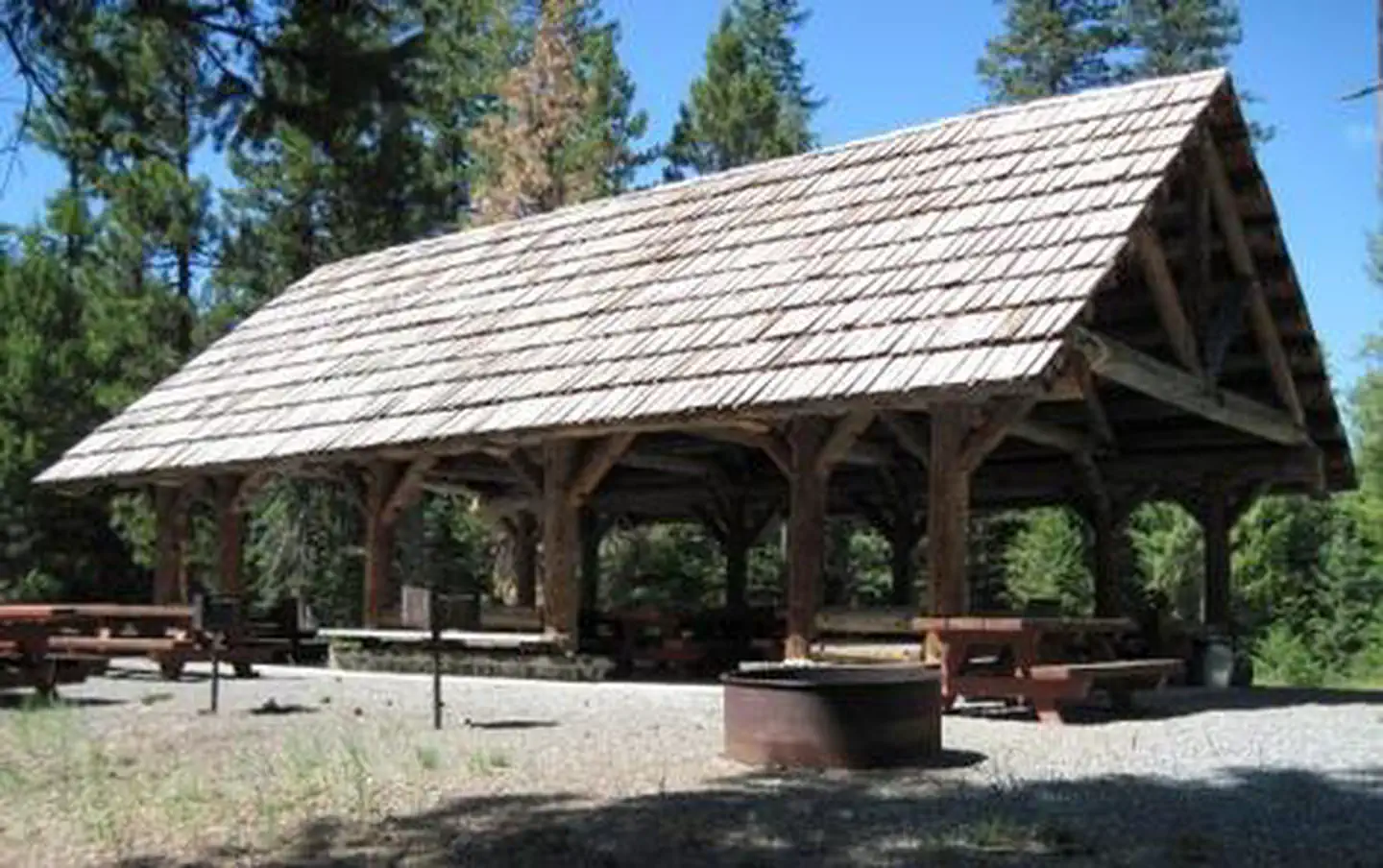
The campground offers both a picnic shelter and overnight campsite for groups to reserve. These sites can accommodate up to 75 people each. Individual family sites are available on a first-come, first-served basis.Picnic tables and campfire rings with grills are provided, as are vault toilets and drinking water.
Natural Features
The campground is set in a forest of Engelmann spruce and ponderosa pine. Magone Lake covers about 50 acres and features both deep holes of up to 100 feet and shoals on the north side. Geologists believe Magone Lake was created by a landslide in the early 1800s. It is located in the southern reaches of the Malheur National Forest.Contact Info
For facility specific information, please call (541) 575-3131.The facts
- 2 bookable sites
- 1 site for day use only
- 2 accessible sites
- Vehicles up to 50 ft
- Up to 75 people per site
- Loops: GCG, GPS
Site types
- 1 Group Shelter Nonelectric
- 1 Group Standard Area Nonelectric
Amenities
- Shade
- Pets allowed
Not recorded upstream: electric hookups, water hookups, sewer hookups, campfires allowed, fire pits, picnic tables, grills.
2 campsites at Magone Lake
| Site | Loop | Type | Entry | Surface | Max rig | People | |
|---|---|---|---|---|---|---|---|
| 01 | GCG | Group Standard Area Nonelectric | Back In | Paved | 50 ft | 75 | ♿ 🐾 |
| SHEL | GPS | Group Shelter Nonelectric | — | Paved | 15 ft | 75 | ♿ 🐾 |
Getting there
44.54940, -118.91282 · 44°32'57.8"N 118°54'46.2"W
Typical weather
Typically 86°F in Jul, down to 39°F in Dec.
| Jan | Feb | Mar | Apr | May | Jun | Jul | Aug | Sep | Oct | Nov | Dec | |
|---|---|---|---|---|---|---|---|---|---|---|---|---|
| High °F | 40 | 45 | 52 | 57 | 66 | 75 | 86 | 86 | 77 | 62 | 48 | 39 |
| Low °F | 21 | 23 | 26 | 30 | 37 | 43 | 48 | 46 | 39 | 31 | 26 | 21 |
| Precip in | 1.1 | 0.6 | 1.1 | 1.5 | 1.8 | 1.3 | 0.4 | 0.5 | 0.5 | 1.0 | 1.2 | 1.1 |
1991–2020 averages from the nearest NOAA station, 9 mi away — not measured at the facility itself, and elevation can make a real difference over that distance.
Map
More photos
Member photos
Common questions about Magone Lake
- Can you reserve a site at Magone Lake?
- Yes, Magone Lake is reservable through Recreation.gov.
- How many campsites does Magone Lake have?
- 2 sites.
- What is the maximum RV length at Magone Lake?
- 50 ft. That is the longest vehicle the sites here are recorded as taking; individual sites may be shorter.
- Are pets allowed at Magone Lake?
- Yes, pets are allowed at Magone Lake.
Also listed by
Magone Lake also appears in other federal recreation data. Facts below are matched by name and location, not confirmed by Magone Lake's operator.
USDA Forest Service — data as of Aug 24, 2026
- The Group Sites range from $25-60. See details at Recreation.gov $13/Night for single unit, $6.50/Night for extra vehicle - All individual sights are first come first serve.
Accessibility:
- Accessible fishing dock, parking, picnic area and picnic shelter.
Camping near Magone Lake
- Sunshine Guard Station 13.2 mi · Campground · we watch it
- Middle Fork Campground 16.1 mi · Campground · we watch it
- Fall Mountain Lookout Cabin 18.8 mi · Campground · we watch it
- Lower Camp Creek Campground 10.2 mi · Campground
- Davis Creek West Trailhead 14.4 mi · Facility
- Dixie Campground 16 mi · Campground
- Deerhorn Campground 17.1 mi · Campground
- Head O' Boulder Forest Camp 17.9 mi · Facility
- Slide Creek Campground 19 mi · Campground
- Fall Mountain Lookout 19.4 mi · Campground
- Strawberry Campground 19.7 mi · Campground
- Vinegar Hill Indian Rock Scenic Area 20.3 mi · Facility
Contact
- Phone 541-820-3800
- Email SM.FS.malpubinfo@usda.gov
- Book Recreation.gov
Recreation.gov last updated this record on 2026-02-25.
Facility information and photographs from Recreation.gov (RIDB). SpotOpened is not affiliated with Recreation.gov or any federal agency.
Comments