Lost Forest/Dunes/Fossil ACEC
Facility · Oregon ·
Managed by the Bureau of Land Management
Lakeview District Lakeview Field Office (Bureau of Land Management OR) · Open Access
- 4,310 ft
- Elevation
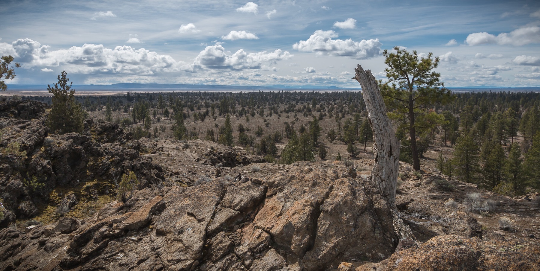
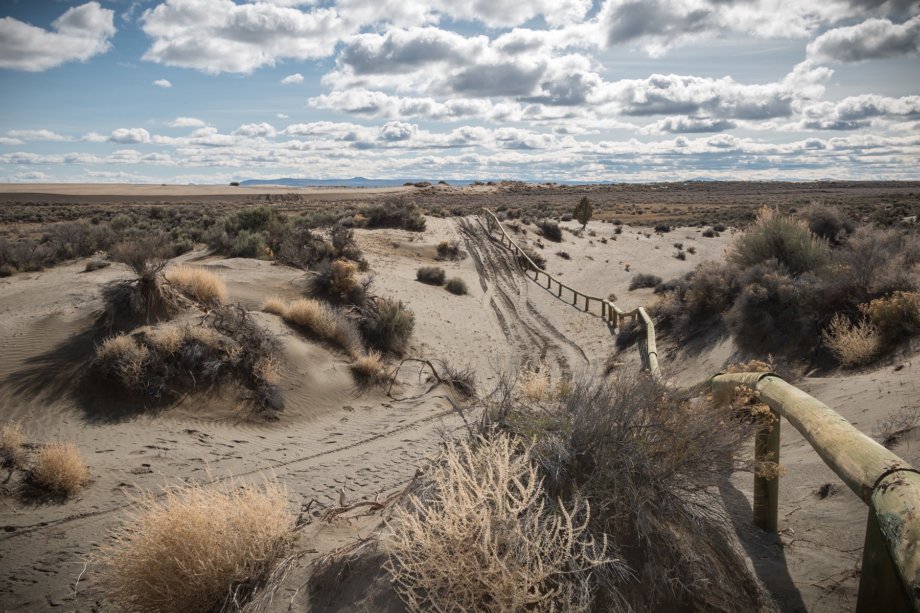
The Christmas Valley Sand Dunes Area of Critical Environmental Concern (ACEC) in south-central Oregon is the largest inland shifting sand dune system in the Pacific Northwest. It is a popular destination for off-highway vehicle enthusiasts with nearly 8,900 acres of the Sand Dunes site open to vehicle use. Nearby, the Lost Forest Research Natural Area is an unusual stand of ancient ponderosa pine forest, the remnant of a forest that existed in a cooler and wetter age. Another facet of the ACEC is Fossil Lake, the site of paleontological work for more than 100 years and where hundreds of species of reptiles, birds, fish, and mammals have been identified.
Know Before You Go
- Off-Highway Vehicles (OHVs) are allowed only on designated routes or areas. Oregon ATV permits required.
- Camping is allowed in designated sites only. Sites are primitive with no facilities, water, or restrooms provided.
- Firewood collecting or cutting is PROHIBITED.
- The Fossil Lake Area is CLOSED to OHVs.
- Collecting fossils by the public is STRICTLY PROHIBITED throughout the Fossil Lake Area.
- The nearest services are located in Christmas Valley, Oregon, approximately 16 miles southwest.
Point of Interest
Fossils found at nearby Fossil Lake range in age from about 10,000 years to as much as 400,000 years. Access to this special area is limited to walk-in traffic only.
Getting there
From Christmas Valley, Oregon, travel east on County Road 5-14 for 8 miles. Turn left (north) on County Road 5-14D and travel another 8 miles. Turn right (east) at the “T” and travel 3 miles on County Road 5-14E to the entrance of the Sand Dunes. Another 4 miles on Bureau of Land Management Road 6155 will bring you to the Lost Forest.
43.35641, -120.37113 · 43°21'23.1"N 120°22'16.1"W
Typical weather
Typically 85°F in Jul, down to 38°F in Dec.
| Jan | Feb | Mar | Apr | May | Jun | Jul | Aug | Sep | Oct | Nov | Dec | |
|---|---|---|---|---|---|---|---|---|---|---|---|---|
| High °F | 39 | 43 | 51 | 57 | 66 | 74 | 85 | 83 | 76 | 61 | 46 | 38 |
| Low °F | 21 | 22 | 25 | 27 | 34 | 40 | 45 | 43 | 35 | 28 | 23 | 18 |
| Precip in | 1.3 | 0.9 | 1.4 | 0.8 | 1.3 | 0.7 | 0.4 | 0.5 | 0.5 | 0.8 | 1.2 | 1.4 |
1991–2020 averages from the nearest NOAA station, 29.5 mi away — not measured at the facility itself, and elevation can make a real difference over that distance.
Map
Fees and stay limits
No fees.
Stay limit: 14 Days
From Recreation.gov, which is not always current. The operator's own page is the authority on what you will be charged.
More photos
Member photos
Common questions about Lost Forest/Dunes/Fossil ACEC
- Can you reserve a site at Lost Forest/Dunes/Fossil ACEC?
- No. Lost Forest/Dunes/Fossil ACEC is not reservable through Recreation.gov, so sites are first-come, first-served or booked elsewhere.
- How long can you stay at Lost Forest/Dunes/Fossil ACEC?
- 14 Days
Camping near Lost Forest/Dunes/Fossil ACEC
- Hager Mountain Lookout 41 mi · Campground · we watch it
- Fremont Point Cabin 41.1 mi · Campground · we watch it
- Crack-In-The-Ground 15.4 mi · Facility
- Green Mountain Campground 17.8 mi · Facility
- Black Hills Area of Critical Environmental Concern 20.1 mi · Facility
- Derrick Cave 27.2 mi · Facility
- Duncan Reservoir Campground 35 mi · Campground
- China Hat Campground 39.3 mi · Campground
- South Lava OHV Staging Area 39.7 mi · Facility
- Chickahominy Recreation Site 40.3 mi · Facility
- Pine Mountain Campground 41.5 mi · Campground
- Road 25 OHV Staging Area 42.9 mi · Facility
Contact
- Phone 541-947-6100
- Email BLM_OR_LV_Mailbox@blm.gov
- Info Recreation.gov
Recreation.gov last updated this record on 2026-05-20.
Facility information and photographs from Recreation.gov (RIDB). SpotOpened is not affiliated with Recreation.gov or any federal agency.
Comments