Derrick Cave
Facility · Oregon ·
Managed by the Bureau of Land Management
Lakeview District Lakeview Field Office (Bureau of Land Management OR) · Open Access
- 4,919 ft
- Elevation
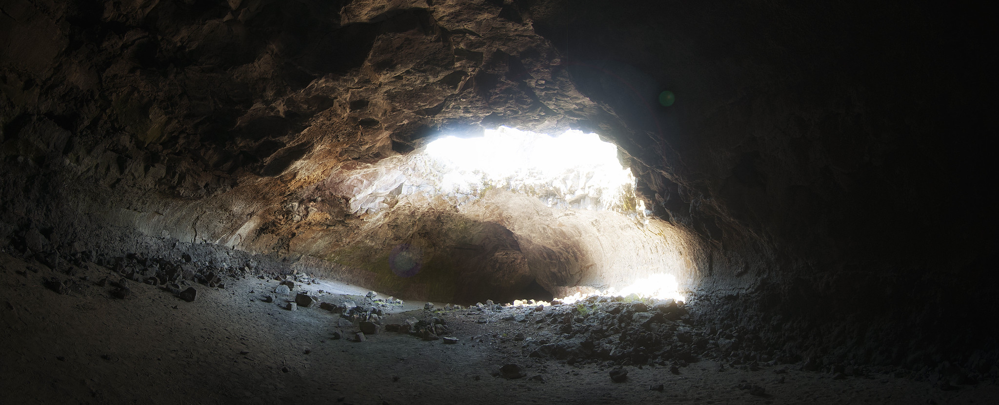
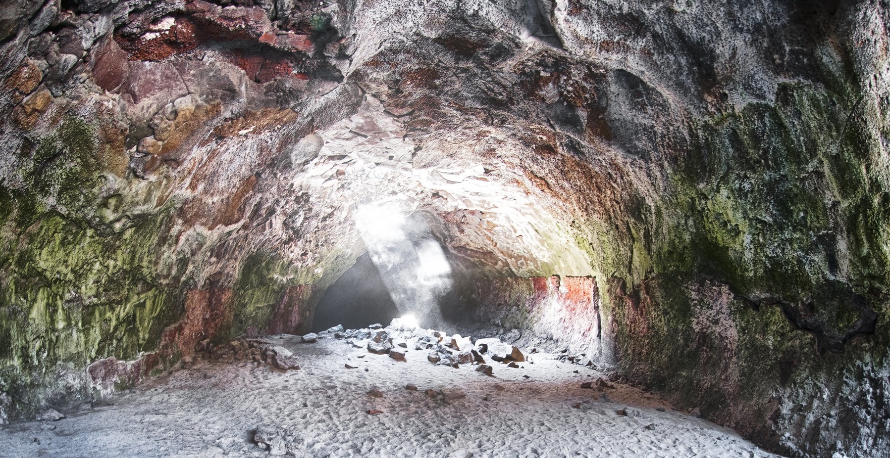
A lava tube 30 feet high, 50 feet wide and 1/4 mile long, Derrick Cave was named for H.E. Derrick, a pioneer rancher in the Devils Garden area. Derrick Cave developed just south of the main vent for the Devils Garden Flows and was the route of most of the lava which spread south from the vent. In the 1960s, Derrick Cave was a designated nuclear fallout shelter with supplies of food and water.
Know Before You Go
- There are no facilities.
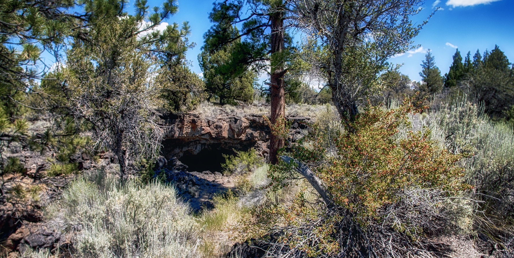
- The road to reach the Derrick Cave area is unpaved and minimally maintained. Most of the time, two-wheel-drive, high-clearance vehicles can get to the trailhead. However, four-wheel-drive, high-clearance vehicles may be required when the road is wet. During the rainy season and the winter months, the road may become impassable for all vehicles, even those with four-wheel-drive.
- The cave is quite cool; visitors should wear a jacket while exploring.
- Don't forget a light source. Battery powered lights are best, as long as they provide reliable illumination.
Prohibited activities in and around natural caves
- Defacing, removing or destroying plants, soil, rocks, minerals, or other cave resources,
- Digging, excavating, or displacing any natural or cultural features,
- Camping,
- Building campfires, using stoves, or smoking,
- Depositing or disposing of human waste in or near a cave,
- Discharging a firearm, air rifle, or paint gun,
- Possessing or discharging fireworks or other pyrotechnics,
- Bringing a domestic animal into a cave,
- Any activity that disturbs the environment within a 350 feet radius of a cave opening or any known cave passages.
Getting there
From Bend: Take US-20 east, approximately 45 miles; turn right onto Moffitt Road; continue onto NF-2312; turn left onto NF-23/Sand Springs Road; turn left onto NF-2325; follow NR-2325 to Derrick Cave. From Fort Rock: Take Cabin Lake Road to NF-23; continue on NF-23; turn right on NF-2325 to Derrick Cave.
43.52043, -120.86400 · 43°31'13.5"N 120°51'50.4"W
Typical weather
Typically 85°F in Jul, down to 38°F in Dec.
| Jan | Feb | Mar | Apr | May | Jun | Jul | Aug | Sep | Oct | Nov | Dec | |
|---|---|---|---|---|---|---|---|---|---|---|---|---|
| High °F | 39 | 43 | 51 | 57 | 66 | 74 | 85 | 83 | 76 | 61 | 46 | 38 |
| Low °F | 21 | 22 | 25 | 27 | 34 | 40 | 45 | 43 | 35 | 28 | 23 | 18 |
| Precip in | 1.3 | 0.9 | 1.4 | 0.8 | 1.3 | 0.7 | 0.4 | 0.5 | 0.5 | 0.8 | 1.2 | 1.4 |
1991–2020 averages from the nearest NOAA station, 18.1 mi away — not measured at the facility itself, and elevation can make a real difference over that distance.
Map
Fees and stay limits
No Fees.
From Recreation.gov, which is not always current. The operator's own page is the authority on what you will be charged.
More photos
Member photos
Common questions about Derrick Cave
- Can you reserve a site at Derrick Cave?
- No. Derrick Cave is not reservable through Recreation.gov, so sites are first-come, first-served or booked elsewhere.
Camping near Derrick Cave
- East Lake Campground 22.1 mi · Campground · we watch it
- Cinder Hill Campground 22.5 mi · Campground · we watch it
- Green Mountain Campground 11.6 mi · Facility
- South Lava OHV Staging Area 12.5 mi · Facility
- China Hat Campground 12.8 mi · Campground
- Crack-In-The-Ground 16 mi · Facility
- Pine Mountain Campground 19.1 mi · Campground
- Road 25 OHV Staging Area 19.1 mi · Facility
- Cinder Hill Campground 21.9 mi · Campground
- East Lake 22.4 mi · Facility
- Paulina Peak Observation Site 22.8 mi · Facility
- Little Crater Day Use Site 23.1 mi · Facility
Contact
- Phone 541-947-6100
- Email BLM_OR_LV_Mailbox@blm.gov
- Info Recreation.gov
Recreation.gov last updated this record on 2026-07-24.
Facility information and photographs from Recreation.gov (RIDB). SpotOpened is not affiliated with Recreation.gov or any federal agency.
Comments