John Day River Day Use Permits
Permit · Oregon ·
Managed by the Bureau of Land Management
- 2,913 ft
- Elevation
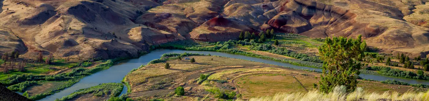
The John Day is the second longest free-flowing river in the continental United States and the longest undammed tributary of the Columbia.
Getting there
44.30265, -120.81083 · 44°18'9.5"N 120°48'39.0"W
Typical weather
Typically 87°F in Jul, down to 42°F in Dec.
| Jan | Feb | Mar | Apr | May | Jun | Jul | Aug | Sep | Oct | Nov | Dec | |
|---|---|---|---|---|---|---|---|---|---|---|---|---|
| High °F | 43 | 48 | 55 | 60 | 69 | 76 | 87 | 86 | 79 | 65 | 51 | 42 |
| Low °F | 25 | 26 | 29 | 33 | 40 | 45 | 49 | 48 | 42 | 34 | 29 | 24 |
| Precip in | 1.1 | 0.8 | 0.9 | 0.8 | 1.4 | 0.8 | 0.4 | 0.4 | 0.3 | 0.9 | 1.2 | 1.3 |
1991–2020 averages from the nearest NOAA station, 1.5 mi away — not measured at the facility itself, and elevation can make a real difference over that distance.
Map
More photos


Member photos
Common questions about John Day River Day Use Permits
- Can you reserve a site at John Day River Day Use Permits?
- Yes, John Day River Day Use Permits is reservable through Recreation.gov.
Camping near John Day River Day Use Permits
- Castle Rock Campground 10.1 mi · Campground
- Stillwater Campground 10.9 mi · Campground
- Chimney Rock Campground 11.6 mi · Campground
- Chimney Rock Trail 11.6 mi · Facility
- Greenwood Day-Use Area 11.7 mi · Facility
- Palisades Campground 11.9 mi · Facility
- Lone Pine Campground 11.9 mi · Facility
- Post Pile Campground 12 mi · Facility
- Cobble Rock Campground 12.1 mi · Facility
- Upper Lone Pine Day-Use Area 12.1 mi · Facility
- Poison Butte Campground 12.6 mi · Facility
- Big Bend Campground (Crooked River) 13.1 mi · Facility
Contact
- Phone (541) 416-6700
- Email hmottl@blm.gov
- Book Recreation.gov
Recreation.gov last updated this record on 2026-02-25.
Facility information and photographs from Recreation.gov (RIDB). SpotOpened is not affiliated with Recreation.gov or any federal agency.
Comments