Chimney Rock Trail
Facility · Oregon ·
Managed by the Bureau of Land Management
Prineville Deschutes Field Office (Bureau of Land Management OR) · Open Access
- 3,040 ft
- Elevation
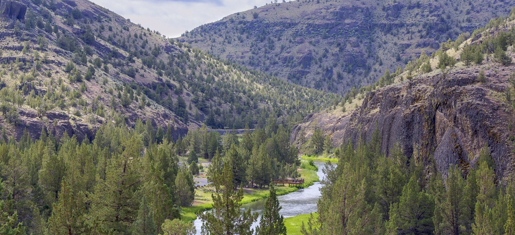
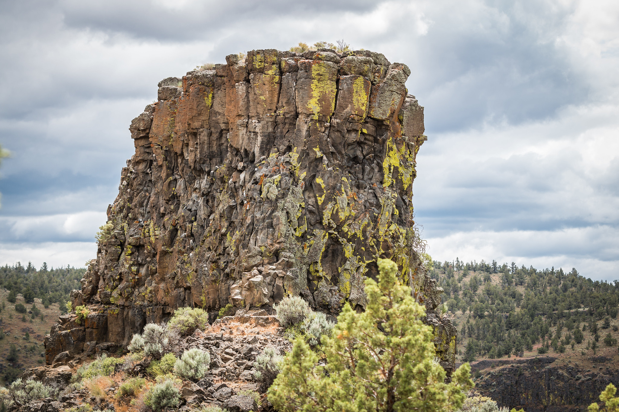
Take a break from your scenic drive along the Lower Crooked Wild and Scenic River south of Prineville and hike one of the gems of the High Desert. Walk in the shadows of lichen-covered basalt cliffs as you zigzag up and out of the river canyon to spectacular views of Central Oregon. The trek is about 1.3 miles and ends at the namesake chimney basalt rock formation. Pause on one of the benches along the way for a drink of water and just absorb the beauty of the area before heading back to your car and the rest of your travels.
Know Before You Go
- Open YEAR ROUND but really nice in the spring or fall when a little moisture has tamped down the dust.
- Accessibility: Out and back trail, 2.6 miles round trip and a little steep at points.
- Amenities: The trail is near Chimney Rock campground, with toilets and potable water near campsite 8.
- Pets are allowed but should on leash—and please pack out any waste!
Point of Interest
This part of the Lower Crooked River has 9 campgrounds and 2 day-use areas. Come for the hike and stay for some wildlife viewing, fly-fishing, and camping!
Getting there
Head south from Prineville on Highway 27 toward Bowman Dam and Prineville Reservoir about 16 miles. The trailhead is on the opposite side of the road from the Chimney Rock Campground.
44.13503, -120.81315 · 44°8'6.1"N 120°48'47.3"W
Typical weather
Typically 87°F in Jul, down to 42°F in Dec.
| Jan | Feb | Mar | Apr | May | Jun | Jul | Aug | Sep | Oct | Nov | Dec | |
|---|---|---|---|---|---|---|---|---|---|---|---|---|
| High °F | 43 | 48 | 55 | 60 | 69 | 76 | 87 | 86 | 79 | 65 | 51 | 42 |
| Low °F | 25 | 26 | 29 | 33 | 40 | 45 | 49 | 48 | 42 | 34 | 29 | 24 |
| Precip in | 1.1 | 0.8 | 0.9 | 0.8 | 1.4 | 0.8 | 0.4 | 0.4 | 0.3 | 0.9 | 1.2 | 1.3 |
1991–2020 averages from the nearest NOAA station, 11.5 mi away — not measured at the facility itself, and elevation can make a real difference over that distance.
Map
Fees and stay limits
No fees to park or hike
From Recreation.gov, which is not always current. The operator's own page is the authority on what you will be charged.
More photos

Member photos
Common questions about Chimney Rock Trail
- Can you reserve a site at Chimney Rock Trail?
- No. Chimney Rock Trail is not reservable through Recreation.gov, so sites are first-come, first-served or booked elsewhere.
Camping near Chimney Rock Trail
- Chimney Rock Campground 0.1 mi · Campground
- Cobble Rock Campground 0.5 mi · Facility
- Palisades Campground 0.6 mi · Facility
- Lone Pine Campground 0.6 mi · Facility
- Post Pile Campground 0.7 mi · Facility
- Stillwater Campground 1.1 mi · Campground
- Upper Lone Pine Day-Use Area 1.2 mi · Facility
- Greenwood Day-Use Area 1.2 mi · Facility
- Poison Butte Campground 1.2 mi · Facility
- Big Bend Campground (Crooked River) 1.8 mi · Facility
- Castle Rock Campground 1.9 mi · Campground
- Reservoir Road Off Highway Vehicle Play Area 3.7 mi · Facility
Contact
- Phone 541-416-6700
- Email BLM_OR_PR_Mail@blm.gov
- Info Recreation.gov
Recreation.gov last updated this record on 2026-07-17.
Facility information and photographs from Recreation.gov (RIDB). SpotOpened is not affiliated with Recreation.gov or any federal agency.
Comments