John C. Briscoe Group Use
Campground · Missouri · 2 bookable sites ·
Managed by the US Army Corps of Engineers
- 2
- Bookable sites
- 60 ft
- Max rig length
- up to 200
- People per site
- 1
- Accessible site
- 694 ft
- Elevation
Overview
The scenic John C. "Jack" Briscoe Group area, previously named the M.W. Boudreaux Group Area, is an ideal place for families and groups to explore and enjoy Mark Twain Lake.More than 2 million visitors travel to the Mark Twain lake region to enjoy the overall magnetism of the area, thanks in part to the author's beloved classics, "The Adventures of Tom Sawyer" and sequel, "Adventures of Huckleberry Finn."
Recreation
Fishing, boating and hunting are very popular at John C. Briscoe. Deer and turkey are common wildlife, and bass is the most popular catch in the lake.Facilities
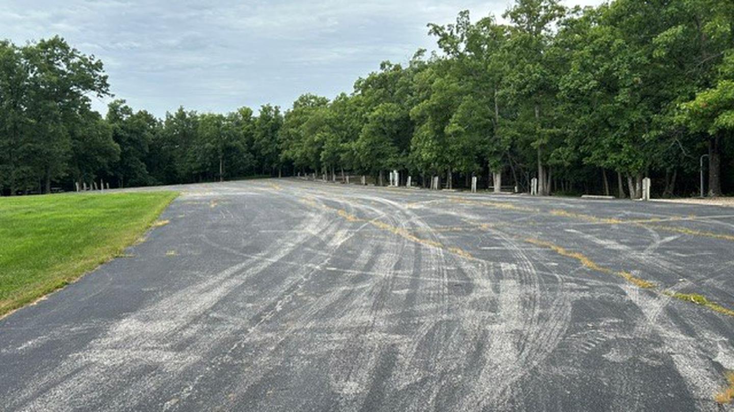
The John C. "Jack" Briscoe Group Use Area includes the entire campground, excluding the picnic shelter. The campsites offer paved parking for RVs, a shaded area for tent campers and an open area for sporting activities. All sites have electric hookups.
Natural Features
Mark Twain lake is large reservoir fed by the waters of the Salt River in northern Missouri. A variety of recreation areas line the lake, in addition to Mark Twain State Park on the western edge of the lake.Nearby Attractions
Beside the lake is the village of Florida, where Mark Twain was born. Twenty-five miles east is the town of Hannibal, where visitors can tour the author's boyhood home.The facts
- 2 bookable sites
- 7 sites in total, including non-bookable
- 1 site for day use only
- 1 accessible site
- Vehicles up to 60 ft
- Up to 200 people per site
- Loops: GRUP, MB04
Site types
- 5 Management
- 1 Group Shelter Electric
- 1 Group Standard Electric
Amenities
- Electric hookups
- Shade
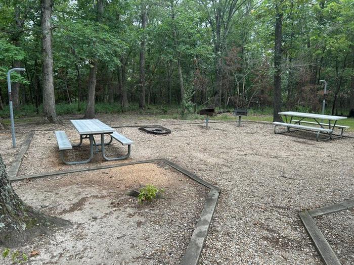
Not recorded upstream: water hookups, sewer hookups, campfires allowed, fire pits, picnic tables, grills, pets allowed.
7 campsites at John C. Briscoe Group Use
| Site | Loop | Type | Entry | Surface | Max rig | People | |
|---|---|---|---|---|---|---|---|
| GRP2 | GRUP | Management | Back In | Paved | 60 ft | 24 | |
| GRP3 | GRUP | Management | Back In | Paved | 60 ft | 24 | |
| GRP4 | GRUP | Management | Back In | Paved | 50 ft | 32 | |
| GRP5 | GRUP | Management | Back In | Paved | 50 ft | 24 | |
| GRP6 | GRUP | Management | Back In | Paved | 50 ft | 24 | |
| Group Campground | GRUP | Group Standard Electric | Back In | Paved | 60 ft | 200 | |
| GS1 | MB04 | Group Shelter Electric | Back In | Paved | — | 125 | ♿ |
Getting there
39.51889, -91.64583 · 39°31'8.0"N 91°38'45.0"W
Typical weather
| Jan | Feb | Mar | Apr | May | Jun | Jul | Aug | Sep | Oct | Nov | Dec | |
|---|---|---|---|---|---|---|---|---|---|---|---|---|
| High °F | — | — | — | — | — | — | — | — | — | — | — | — |
| Low °F | — | — | — | — | — | — | — | — | — | — | — | — |
| Precip in | 1.9 | 2.1 | 2.7 | 4.3 | 5.1 | 4.9 | 4.4 | 4.0 | 4.0 | 3.5 | 2.6 | 2.0 |
1991–2020 averages from the nearest NOAA station, 1 mi away — not measured at the facility itself, and elevation can make a real difference over that distance.
Map
More photos
Member photos
Common questions about John C. Briscoe Group Use
- Can you reserve a site at John C. Briscoe Group Use?
- Yes, John C. Briscoe Group Use is reservable through Recreation.gov.
- How many campsites does John C. Briscoe Group Use have?
- 7 sites in total, of which 2 can be booked.
- What is the maximum RV length at John C. Briscoe Group Use?
- 60 ft. That is the longest vehicle the sites here are recorded as taking; individual sites may be shorter.
- Does John C. Briscoe Group Use have hookups?
- Electric.
Camping near John C. Briscoe Group Use
- Ray Behrens 0.9 mi · Campground · we watch it
- Frank Russell 1.2 mi · Campground · we watch it
- John Spalding Rec Ar 2.5 mi · Campground · we watch it
- Indian Creek (Mo) 4.9 mi · Campground · we watch it
- Bluffview (Mark Twain Lake) 5.4 mi · Campground · we watch it
- Dry Fork Recreation Area 56.9 mi · Campground
- Pine Ridge Recreation Area 58.9 mi · Campground
Contact
- Phone 573-735-4097
- Email marktwaininfo@usace.army.mil
- Book Recreation.gov
Recreation.gov last updated this record on 2026-07-30.
Facility information and photographs from Recreation.gov (RIDB). SpotOpened is not affiliated with Recreation.gov or any federal agency.
Comments