South Maricopa Mountains Wilderness Area
Facility · Arizona ·
Managed by the Bureau of Land Management
Sonoran Desert National Monument (BLM_MON) · Open Access
- 2,070 ft
- Elevation
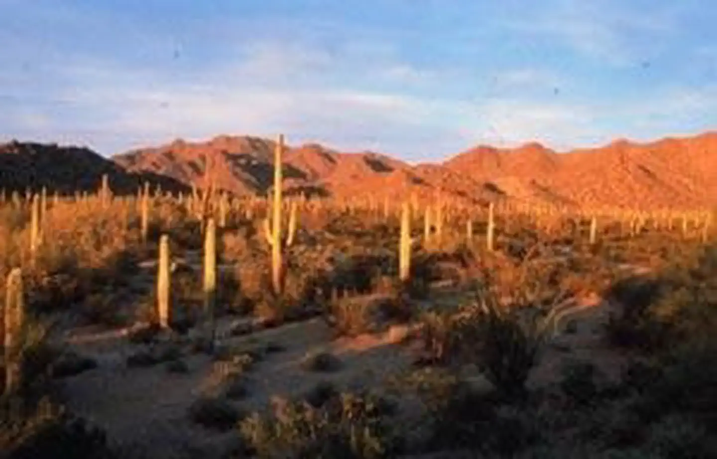
The 60,100-acre South Maricopa Mountains Wilderness is located in southwestern Maricopa County, Arizona. It is 16 miles east of Gila Bend and 30 miles southwest of Phoenix. It is within the Sonoran Desert National Monument.
The monument offers many opportunities to explore and discover the secrets of the Sonoran Desert and includes three wilderness areas: the North Maricopa Mountains Wilderness, the South Maricopa Mountains Wilderness, and the Table Top Wilderness.
This wilderness includes 13 miles of the Maricopa Mountain range, a low elevation Sonoran Desert range, and extensive desert plains. The eastern part of the wilderness has an isolated and screened mountainous interior, formed by long ridges and isolated peaks, separated by plains and washes. The western part is dominated by desert flats fronting the east-west trending Maricopa Mountains ridgeline.
This area's large size, varied landforms, and wildness provide outstanding opportunities for solitude and primitive recreation. Hiking, backpacking, horseback riding, camping, wildlife observation and photography are some activities both experienced and family-oriented outdoor enthusiasts can enjoy.
Desert bighorn sheep, desert tortoise, coyotes, bobcat, fox, deer, Gambel's quail, and various raptors live in the wilderness. Plant species include saguaro, cholla, ocotillo, palo verde, and mesquite.
Know Before You Go
- In wilderness, you can enjoy challenging recreational activities and extraordinary opportunities for solitude. Please follow the regulations in place for this area. Use Leave No Trace techniques when visiting to ensure protection of its unique natural and experiential qualities.
- Motorized equipment and equipment used for mechanical transport are generally prohibited on all federal lands designated as wilderness. This includes the use of motor vehicles (including OHVs), motorboats, bicycles, hang gliders, wagons, carts, portage wheels, and the landing of aircraft including helicopters. Contact the agency for more information about regulations.
Getting there
This wilderness area is a two-hour drive from metropolitan Phoenix, but access is difficult. Because road conditions vary, high-clearance and four wheel-drive vehicles are recommended.
Interstate 8 parallels the south boundary of the wilderness but offers no access to the wilderness. The north boundary can be accessed from primitive dirt roads south of Maricopa Road, but active railroad tracks and rights-of-way restrict public crossings.
No roads lead to the western and eastern boundaries of the wilderness.
32.92530, -112.39834 · 32°55'31.1"N 112°23'54.0"W
Typical weather
Typically 109°F in Jul, down to 70°F in Dec.
| Jan | Feb | Mar | Apr | May | Jun | Jul | Aug | Sep | Oct | Nov | Dec | |
|---|---|---|---|---|---|---|---|---|---|---|---|---|
| High °F | 71 | 75 | 82 | 90 | 98 | 107 | 109 | 109 | 104 | 93 | 80 | 70 |
| Low °F | 41 | 44 | 49 | 55 | 63 | 72 | 81 | 81 | 74 | 60 | 48 | 40 |
| Precip in | 0.8 | 0.9 | 0.7 | 0.3 | 0.3 | 0.1 | 0.6 | 0.9 | 0.3 | 0.4 | 0.5 | 0.6 |
1991–2020 averages from the nearest NOAA station, 16.4 mi away — not measured at the facility itself, and elevation can make a real difference over that distance.
Map
Member photos
Common questions about South Maricopa Mountains Wilderness Area
- Can you reserve a site at South Maricopa Mountains Wilderness Area?
- No. South Maricopa Mountains Wilderness Area is not reservable through Recreation.gov, so sites are first-come, first-served or booked elsewhere.
Camping near South Maricopa Mountains Wilderness Area
- Painted Rock Petroglyph Campground 38.1 mi · Campground · we watch it
- Brittlebush Trailhead 8.6 mi · Facility
- Margies Cove East Trailhead 11.3 mi · Facility
- North Maricopa Mountains Wilderness Area 14.4 mi · Facility
- Box Canyon Recreational Shooting Site 15.5 mi · Facility
- Margies Cove West Trailhead 17.5 mi · Facility
- Margies Cove West Campground 17.5 mi · Campground
- Gila Bend Visitor Center 19.2 mi · Visitor Center
- Painted Rock Petroglyph Site and Campground 38.1 mi · Campground
- Hotel San Carlos 40.9 mi · Facility
- West Valley Art Museum 49.7 mi · Facility
- Casa Grande Ruins National Monument 50.2 mi · Facility
Contact
- Phone 602-867-5400
- Email blm_az_pdoweb@blm.gov
- Info Recreation.gov
Recreation.gov last updated this record on 2026-02-25.
Facility information and photographs from Recreation.gov (RIDB). SpotOpened is not affiliated with Recreation.gov or any federal agency.
Comments