Margies Cove East Trailhead
Facility · Arizona ·
Managed by the Bureau of Land Management
Sonoran Desert National Monument (BLM_MON) · Open Access
- 1,696 ft
- Elevation
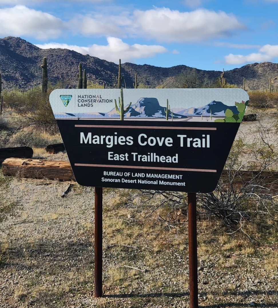
Margies Cove Trail is a near level, 9-mile route through the heart of the 63,200-acre North Maricopa Mountains Wilderness within the Sonoran Desert National Monument.
The North Maricopa Mountains are a jumble of long ridges and isolated peaks separated by extensive, saguaro-studded bajadas and wide desert washes. Cholla, ocotillo, prickly pear, paloverde, ironwood, and Mexican jumping bean complement thick stands of saguaro to form classic Sonoran Desert vistas. Commonly seen wildlife includes desert mule deer, javelina, desert bighorn sheep, coyote, desert tortoise, and numerous varieties of lizards and birds.
Margies Cove Trail follows a combination of former vehicle tracks and wide, unmarked desert washes. No trail signage or directional markers are available along the route; therefore, this trail is recommended only for experienced hikers skilled in reading topographic maps. Margies Cove Trail intersects the northern terminus of the Brittlebush Trail in the interior of the North Maricopa Mountains Wilderness.
Hours and Seasons
Trail can be used year-round; however, it is recommended for use from late October through mid-April. At other times of the year, the trail is seldom used due to high temperatures.
Summer temperatures may often exceed 110°F. Wear a hat, long sleeve shirt, sunglasses, and sunscreen. Drink plenty of water!
Features and Services
- Drinking Water: There is no drinking water available. Bring plenty of water.
- Toilets: Accessible vault toilet onsite.
- Cell Phone and Internet: Cell phone service may be unreliable. There is no public internet or Wi-Fi.
- Pets: Service dogs are legally permitted anywhere that visitors can go. Pack out all waste.
Safety and Conditions
You are responsible for your own safety. Call 911 to contact local law enforcement, obtain emergency services, or report a fire.
While enjoying your visit, keep in mind that there is no first aid available on-site.
Expect potential hazards such as venomous snakes, extreme heat, and flash floods. Be prepared for changes in weather and stay informed on weather warning alerts. Make sure you have the appropriate gear, food and water.
Respect and Protect
The area is home to many species of wildlife. Please remember to practice outdoor ethics and recreate responsibly. Help us protect this unique environment by leaving no trace during your visit.
Check for fire restrictions before your visit. Using exploding targets, fireworks, sky lanterns, tracer ammunition and other incendiary devices is prohibited on BLM-managed public land in Arizona.
Report crimes to resources including vandalism, dumping and suspicious activity at 1-800-637-9152.
Getting there
To reach Margies Cove East from State Route 238, turn north onto BLM Route 8002. Continue on Route 8002 for about 6.6 miles and turn left onto Route 8002A toward Margies Cove East. The road ends in about 1.6 miles at the trailhead. High clearance is recommended.
You can also reach the Margies Cove Trail from Margies Cove West Trailhead.
33.07771, -112.47030 · 33°4'39.8"N 112°28'13.1"W
Typical weather
Typically 109°F in Jul, down to 70°F in Dec.
| Jan | Feb | Mar | Apr | May | Jun | Jul | Aug | Sep | Oct | Nov | Dec | |
|---|---|---|---|---|---|---|---|---|---|---|---|---|
| High °F | 71 | 75 | 82 | 90 | 98 | 107 | 109 | 109 | 104 | 93 | 80 | 70 |
| Low °F | 41 | 44 | 49 | 55 | 63 | 72 | 81 | 81 | 74 | 60 | 48 | 40 |
| Precip in | 0.8 | 0.9 | 0.7 | 0.3 | 0.3 | 0.1 | 0.6 | 0.9 | 0.3 | 0.4 | 0.5 | 0.6 |
1991–2020 averages from the nearest NOAA station, 15.6 mi away — not measured at the facility itself, and elevation can make a real difference over that distance.
Map
Fees and stay limits
There are no permits, passes, or fees required to visit this wilderness area. It is free. However, commercial, competitive, and large organized group events require a special recreation permit. Contact the local managing field office for more information about special recreation permits. Recreational activities on any nearby state trust land require a permit from the State of Arizona. Visits to the Sand Tank Mountains, located south of Interstate 8, require a free Barry M. Goldwater Range permit. Permits are only available online and not at the local BLM office.
Stay limit: Most of public lands are open to dispersed camping, as long as it does not conflict with other authorized uses or in areas posted "closed to camping," or in some way adversely affects wildlife species or natural resources. Dispersed camping is generally allowed on public land for a period not to exceed 14 days within a 28 consecutive day period.
From Recreation.gov, which is not always current. The operator's own page is the authority on what you will be charged.
Member photos
Common questions about Margies Cove East Trailhead
- Can you reserve a site at Margies Cove East Trailhead?
- No. Margies Cove East Trailhead is not reservable through Recreation.gov, so sites are first-come, first-served or booked elsewhere.
- How long can you stay at Margies Cove East Trailhead?
- Most of public lands are open to dispersed camping, as long as it does not conflict with other authorized uses or in areas posted "closed to camping," or in some way adversely affects wildlife species or natural resources. Dispersed camping is generally allowed on public land for a period not to exceed 14 days within a 28 consecutive day period.
Camping near Margies Cove East Trailhead
- Painted Rock Petroglyph Campground 33.5 mi · Campground · we watch it
- North Maricopa Mountains Wilderness Area 3.8 mi · Facility
- Brittlebush Trailhead 6.6 mi · Facility
- Margies Cove West Trailhead 7.3 mi · Facility
- Margies Cove West Campground 7.3 mi · Campground
- South Maricopa Mountains Wilderness Area 11.3 mi · Facility
- Gila Bend Visitor Center 17.6 mi · Visitor Center
- Box Canyon Recreational Shooting Site 19 mi · Facility
- Painted Rock Petroglyph Site and Campground 33.5 mi · Campground
- Hotel San Carlos 34.5 mi · Facility
- West Valley Art Museum 40 mi · Facility
- Challenger Learning Center of Arizona 43.5 mi · Facility
Contact
- Phone 602-867-5400
- Email blm_az_pdoweb@blm.gov
- Info Recreation.gov
Recreation.gov last updated this record on 2026-04-30.
Facility information and photographs from Recreation.gov (RIDB). SpotOpened is not affiliated with Recreation.gov or any federal agency.
Comments