Trout Pond Recreation Area
Campground · West Virginia · 47 bookable sites ·
Managed by the USDA Forest Service
Wardensville Wildlife Management Area (Wildlife Management Area) · Restricted Access
- 47
- Bookable sites
- 99 ft
- Max rig length
- up to 100
- People per site
- 52
- Accessible sites
- 1,976 ft
- Elevation
Overview
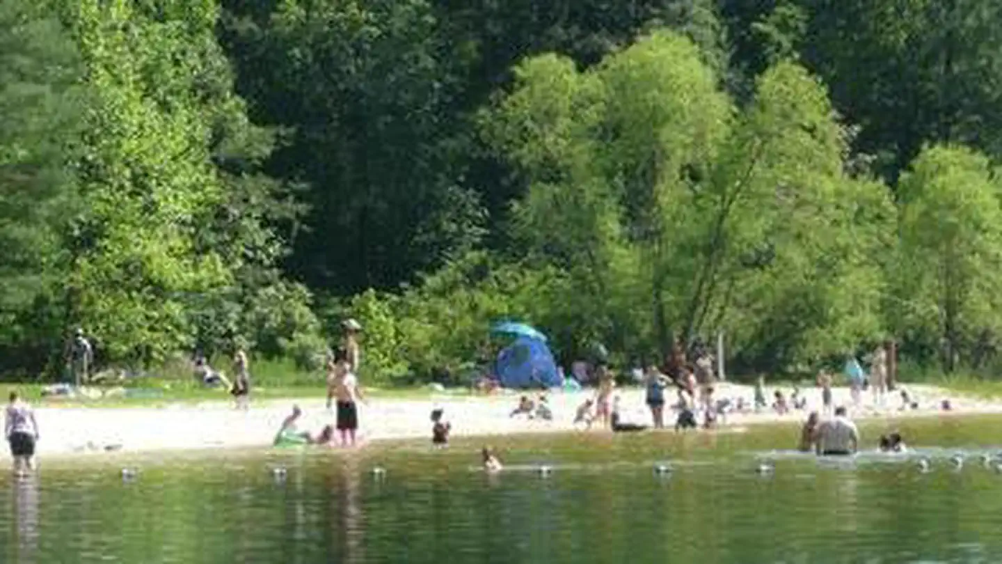
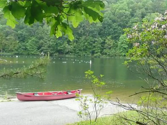
Trout Pond Recreation Area boasts two bodies of water, Rock Cliff Lake and Trout Pond. Relax on a sandy mountain beach or fish for stocked trout while relaxing along the cool waters of Rock Cliff Lake.Trout Pond, home to native Brook trout, is the only natural lake in West Virginia. A designated swimming area, easy lakeside trails, and a children's playground make this a perfect family destination.
Recreation
A trail surrounding the entire lake provides bank fishing access at Rock Cliff Lake. All types of boating from motor to sailboats are welcome.Hike the Trout Pond Loop trail, an easy 4-mile excursion, with an optional 2-mile side route, to an overlook of Rockcliff Lake. For a more challenging hike, a connecting trail provides a steep climb up Long and Devil's Hole Mountains.
Facilities
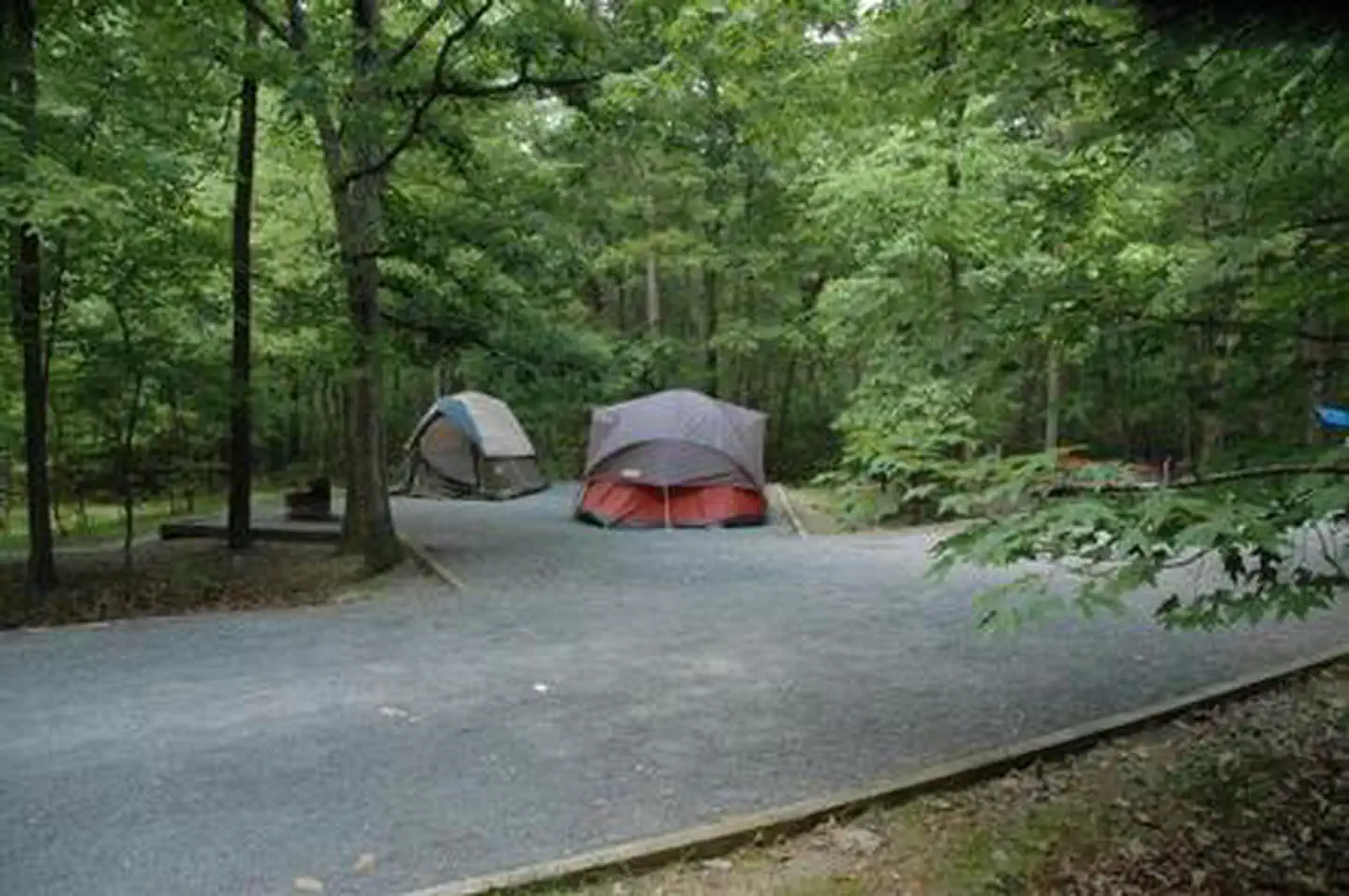
Campsites come with a campfire ring and picnic table, and some of have electric hookups. Hot showers and flush toilets are an easy walk away from each site.The day-use area includes a white-sand swim beach, boat ramp, showers, playground and 30 picnic sites.
Natural Features
Rock Cliff Lake is a 17-acre man-made lake with a maximum depth of 36 feet and an average depth of 12 feet. Trout Pond, the naturally formed lake, was created by a sinkhole that filled with mountain stream water and run-off from Long Mountain. Trout Pond can vary in waterflow. Please visit the Forest Service website for our most up to date conditions.
Contact Info
This location has limited staffing. Please call (540) 984-4101 for general information.Charges & Cancellations
group shelter nonelectric 1-50 people $65, 51-100 people $100, standard non electric is $19.00 per nightThe facts
- Season: early-May – October — USDA Forest Service, Aug 24, 2026
- 47 bookable sites
- 52 sites in total, including non-bookable
- 2 sites for day use only
- 52 accessible sites
- Vehicles up to 99 ft
- Up to 100 people per site
- Loops: DOUB, PICA, PICB, S&P, SING, Sing
Site types
- 35 Standard Nonelectric
- 11 Standard Electric
- 5 Management
- 1 Group Shelter Nonelectric
Amenities
- Electric hookups
- Campfires allowed
- Shade
- Pets allowed
- Water hookups — not available
- Sewer hookups — not available
Not recorded upstream: fire pits, picnic tables, grills.
52 campsites at Trout Pond Recreation Area
| Site | Loop | Type | Entry | Surface | Max rig | People | |
|---|---|---|---|---|---|---|---|
| 014 | DOUB | Standard Electric | Back In | Gravel | 99 ft | 16 | ♿ 🐾 |
| 033 | DOUB | Standard Nonelectric | Back In | Gravel | 99 ft | 16 | ♿ 🐾 |
| 034 | DOUB | Standard Nonelectric | Back In | Gravel | 99 ft | 16 | ♿ 🐾 |
| 00A | PICA | Group Shelter Nonelectric | — | Gravel | — | 100 | ♿ 🐾 |
| 00B | PICB | Management | — | Gravel | — | 100 | ♿ 🐾 |
| Double Electric S&P | S&P | Management | Back In | Gravel | 45 ft | 16 | ♿ 🐾 |
| Double S&P | S&P | Management | Back In | Gravel | 45 ft | 16 | ♿ 🐾 |
| Electric S&P | S&P | Management | Back In | Gravel | 30 ft | 8 | ♿ 🐾 |
| Standard S&P | S&P | Management | Back In | Gravel | 45 ft | 8 | ♿ 🐾 |
| 001 | SING | Standard Electric | Back In | Gravel | 45 ft | 8 | ♿ 🐾 |
| 002 | SING | Standard Electric | Back In | Gravel | 30 ft | 8 | ♿ 🐾 |
| 004 | SING | Standard Electric | Back In | Gravel | 45 ft | 8 | ♿ 🐾 |
| 006 | SING | Standard Electric | Back In | Gravel | 45 ft | 8 | ♿ 🐾 |
| 008 | SING | Standard Electric | Back In | Gravel | 45 ft | 8 | ♿ 🐾 |
| 010 | SING | Standard Electric | Back In | Gravel | 45 ft | 8 | ♿ 🐾 |
| 011 | SING | Standard Electric | Back In | Gravel | 45 ft | 8 | ♿ 🐾 |
| 012 | SING | Standard Electric | Back In | Gravel | 30 ft | 8 | ♿ 🐾 |
| 013 | SING | Standard Electric | Back In | Gravel | 45 ft | 8 | ♿ 🐾 |
| 015 | SING | Standard Nonelectric | Back In | Gravel | 45 ft | 8 | ♿ 🐾 |
| 017 | SING | Standard Nonelectric | Back In | Gravel | 45 ft | 8 | ♿ 🐾 |
| 019 | SING | Standard Nonelectric | Back In | Gravel | 35 ft | 8 | ♿ 🐾 |
| 020 | SING | Standard Nonelectric | Back In | Gravel | 35 ft | 8 | ♿ 🐾 |
| 021 | SING | Standard Nonelectric | Back In | Gravel | 35 ft | 8 | ♿ 🐾 |
| 022 | SING | Standard Nonelectric | Back In | Gravel | 45 ft | 8 | ♿ 🐾 |
| 026 | SING | Standard Nonelectric | Back In | Gravel | 40 ft | 8 | ♿ 🐾 |
| 028 | SING | Standard Nonelectric | Back In | Gravel | 45 ft | 8 | ♿ 🐾 |
| 032 | SING | Standard Nonelectric | Back In | Gravel | 99 ft | 8 | ♿ 🐾 |
| 035 | SING | Standard Nonelectric | Pull Through | Gravel | 99 ft | 8 | ♿ 🐾 |
| 036 | SING | Standard Nonelectric | Back In | Gravel | 45 ft | 8 | ♿ 🐾 |
| 037 | SING | Standard Nonelectric | Back In | Gravel | 45 ft | 8 | ♿ 🐾 |
| 038 | SING | Standard Nonelectric | Back In | Gravel | 40 ft | 8 | ♿ 🐾 |
| 039 | SING | Standard Nonelectric | Pull Through | Gravel | 99 ft | 8 | ♿ 🐾 |
| 040 | SING | Standard Nonelectric | Back In | Gravel | 35 ft | 8 | ♿ 🐾 |
| 041 | SING | Standard Electric | Back In | Gravel | 99 ft | 8 | ♿ 🐾 |
| 042 | SING | Standard Nonelectric | Back In | Gravel | 30 ft | 8 | ♿ 🐾 |
| 044 | SING | Standard Nonelectric | Back In | Gravel | 40 ft | 8 | ♿ 🐾 |
| 045 | SING | Standard Nonelectric | Back In | Gravel | 35 ft | 8 | ♿ 🐾 |
| 046 | SING | Standard Nonelectric | Back In | Gravel | 40 ft | 8 | ♿ 🐾 |
| 047 | SING | Standard Nonelectric | Back In | Gravel | 40 ft | 8 | ♿ 🐾 |
| 048 | SING | Standard Nonelectric | Back In | Gravel | 30 ft | 8 | ♿ 🐾 |
| 049 | SING | Standard Nonelectric | Back In | Gravel | 40 ft | 8 | ♿ 🐾 |
| 050 | SING | Standard Nonelectric | Back In | Gravel | 99 ft | 8 | ♿ 🐾 |
| 016 | Sing | Standard Nonelectric | Back In | Gravel | 45 ft | 8 | ♿ 🐾 |
| 018 | Sing | Standard Nonelectric | Back In | Gravel | 45 ft | 8 | ♿ 🐾 |
| 023 | Sing | Standard Nonelectric | Back In | Gravel | 45 ft | 8 | ♿ 🐾 |
| 024 | Sing | Standard Nonelectric | Back In | Gravel | 45 ft | 8 | ♿ 🐾 |
| 025 | Sing | Standard Nonelectric | Back In | Gravel | 45 ft | 8 | ♿ 🐾 |
| 027 | Sing | Standard Nonelectric | Back In | Gravel | 45 ft | 8 | ♿ 🐾 |
| 029 | Sing | Standard Nonelectric | Back In | Gravel | 45 ft | 8 | ♿ 🐾 |
| 030 | Sing | Standard Nonelectric | Back In | Gravel | 45 ft | 8 | ♿ 🐾 |
| 031 | Sing | Standard Nonelectric | Back In | Gravel | 45 ft | 8 | ♿ 🐾 |
| 043 | Sing | Standard Nonelectric | Back In | Gravel | 45 ft | 8 | ♿ 🐾 |
Getting there
38.95278, -78.73472 · 38°57'10.0"N 78°44'5.0"W
Typical weather
Typically 84°F in Jul, down to 41°F in Jan.
| Jan | Feb | Mar | Apr | May | Jun | Jul | Aug | Sep | Oct | Nov | Dec | |
|---|---|---|---|---|---|---|---|---|---|---|---|---|
| High °F | 41 | 44 | 51 | 64 | 72 | 79 | 84 | 82 | 76 | 65 | 55 | 45 |
| Low °F | 19 | 20 | 26 | 37 | 46 | 55 | 58 | 57 | 50 | 39 | 30 | 23 |
| Precip in | — | — | — | — | — | — | — | — | — | — | — | — |
1991–2020 averages from the nearest NOAA station, 3.4 mi away — not measured at the facility itself, and elevation can make a real difference over that distance.
Map
More photos
Member photos
Common questions about Trout Pond Recreation Area
- Can you reserve a site at Trout Pond Recreation Area?
- Yes, Trout Pond Recreation Area is reservable through Recreation.gov.
- How many campsites does Trout Pond Recreation Area have?
- 52 sites in total, of which 47 can be booked.
- What is the maximum RV length at Trout Pond Recreation Area?
- 99 ft. That is the longest vehicle the sites here are recorded as taking; individual sites may be shorter.
- Are pets allowed at Trout Pond Recreation Area?
- Yes, pets are allowed at Trout Pond Recreation Area.
- Does Trout Pond Recreation Area have hookups?
- Electric.
- Are campfires allowed at Trout Pond Recreation Area?
- Campfires are allowed at Trout Pond Recreation Area. Check for a current fire restriction before you go.
Also listed by
Trout Pond Recreation Area also appears in other federal recreation data. Facts below are matched by name and location, not confirmed by Trout Pond Recreation Area's operator.
USDA Forest Service — data as of Aug 24, 2026
- Day use fee is $8/vehicle up to 8 passengers and $2 per person for vans and buses carrying more than 8 passengers and walk-ins. $25 per single campsite per night. $40 per double campsite per night. $7 E-hookup fee. We currently do not accept credit/debits cards at this campground. Cash or checks onl
Restrictions:
- Alcoholic beverages prohibited.
Camping near Trout Pond Recreation Area
- Wolf Gap 3.1 mi · Campground · we watch it
- Little Fort 16.7 mi · Campground · we watch it
- Camp Roosevelt 19.2 mi · Campground · we watch it
- Elizabeth Furnace 21.8 mi · Campground · we watch it
- Wolf Gap Recreation Area 3.1 mi · Facility
- Hawk Recreation Area 17 mi · Facility
- Camp Roosevelt Recreation Area 19.2 mi · Facility
- Strasburg Visitor & Information Center 21 mi · Visitor Center
- Batzell Boat Launch 21.4 mi · Facility
- Moody Boat Launch 21.5 mi · Facility
- Seekford Boat Launch 21.7 mi · Facility
- Elizabeth Furnace Recreation Area 21.8 mi · Facility
Contact
- Phone 1(304)897-6450
- Book Recreation.gov
Recreation.gov last updated this record on 2026-02-25.
Facility information and photographs from Recreation.gov (RIDB). SpotOpened is not affiliated with Recreation.gov or any federal agency.
Comments