Camp Roosevelt
Campground · 1 bookable site ·
Managed by the USDA Forest Service
George Washington National Forest (NF) · Open Access
- 1
- Bookable site
- 1,256 ft
- Elevation
Overview
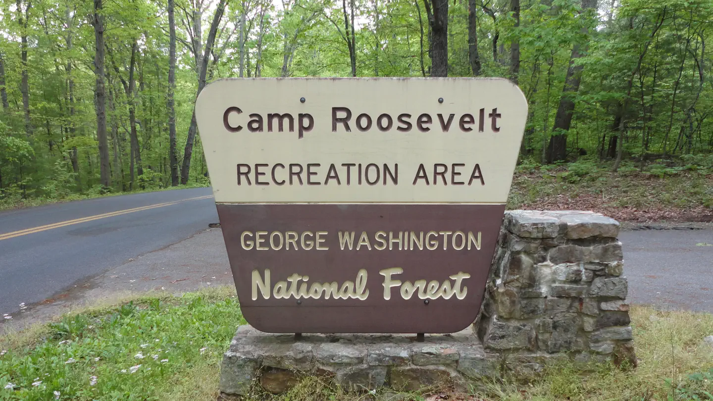
Camp Roosevelt Campground is the site of the first Civilian Conservation Corps Camp in the Nation. Follow the path through the CCC camp and view the foundations where the actual buildings once stood. Proud and lofty oak trees create the perfect atmosphere for enjoying a simple picnic or camping out with friends or family.
This location is available on a first-come, first-served basis only. Visitors are required to physically arrive at the campground to purchase and claim a site. Once on-site, you may be able to pay for your campsite(s) by scanning a QR code using the Recreation.gov mobile app, and the Scan and Pay feature.
If this option is available, you will need to first download the free Recreation.gov mobile app https://www.recreation.gov/mobile-app prior to your arrival as some remote areas have limited or no cellular service.
Facilities
Portable bathrooms will be placed by the campground loop and the picnic area.
Water will not be available at the campground.
Contact Info
This location is unstaffed. To speak with our main office for general information, please call: (540) 984-4101.The facts
- Season: late-May – mid-October — USDA Forest Service, Aug 24, 2026
- 1 bookable site
- 4 sites in total, including non-bookable
- Loops: Scan and Pay
Site types
- 3 Management
- 1 Standard Nonelectric
4 campsites at Camp Roosevelt
| Site | Loop | Type | Entry | Surface | Max rig | People | |
|---|---|---|---|---|---|---|---|
| ScanPay 2 | Scan and Pay | Management | — | — | — | — | |
| ScanPay 3 | Scan and Pay | Management | — | — | — | — | |
| ScanPay 4 | Scan and Pay | Management | — | — | — | — | |
| Standard | Scan and Pay | Standard Nonelectric | — | — | — | — |
Getting there
From I-81: Take exit 279. Turn east on SR 675. At intersection of US 11 and SR 675 in the center of Edinburg (T-intersection), turn left onto US 11. Make another right turn back onto SR 675 at the north end of Edinburg. Follow SR 675 for 5.9 miles over Massanutten Mountain to STOP sign at Kings Crossing (T-intersection). Turn right and continue on SR 675 for 3.4 miles to an X-intersection of SR 675, FDR 274, and SR 730. Turn left, still on SR 675. Camp entrance is 0.3 miles up, on the left side of the road.
38.73306, -78.51722 · 38°43'59.0"N 78°31'2.0"W
Typical weather
Typically 85°F in Jul, down to 43°F in Jan.
| Jan | Feb | Mar | Apr | May | Jun | Jul | Aug | Sep | Oct | Nov | Dec | |
|---|---|---|---|---|---|---|---|---|---|---|---|---|
| High °F | 43 | 46 | 54 | 65 | 74 | 81 | 85 | 84 | 78 | 67 | 56 | 46 |
| Low °F | 21 | 23 | 29 | 38 | 49 | 58 | 62 | 60 | 53 | 41 | 31 | 24 |
| Precip in | 2.4 | 1.8 | 2.9 | 3.1 | 4.0 | 4.3 | 4.1 | 3.4 | 3.7 | 2.5 | 2.3 | 2.7 |
1991–2020 averages from the nearest NOAA station, 6 mi away — not measured at the facility itself, and elevation can make a real difference over that distance.
Map
Member photos
Common questions about Camp Roosevelt
- Can you reserve a site at Camp Roosevelt?
- Yes, Camp Roosevelt is reservable through Recreation.gov.
- How many campsites does Camp Roosevelt have?
- 4 sites in total, of which 1 can be booked.
Also listed by
Camp Roosevelt also appears in other federal recreation data. Facts below are matched by name and location, not confirmed by Camp Roosevelt's operator.
USDA Forest Service — data as of Aug 24, 2026
- $10 per site per night. We currently do not accept credit/debits cards at this campground. Cash or checks only
Restrictions:
- Alcoholic beverages prohibited.
Camping near Camp Roosevelt
- Rapidan Camp Tours 9.6 mi · Tickets · we watch it
- Little Fort 10 mi · Campground · we watch it
- Mathews Arm Campground 12 mi · Campground · we watch it
- Big Meadows Campground - Shenandoah (VA) 14.7 mi · Campground · we watch it
- Wolf Gap 16.1 mi · Campground · we watch it
- Elizabeth Furnace 16.6 mi · Campground · we watch it
- Camp Roosevelt Recreation Area less than 0.1 mi · Facility
- Moody Boat Launch 6.6 mi · Facility
- Seekford Boat Launch 7.7 mi · Facility
- Batzell Boat Launch 8.7 mi · Facility
- Harry F. Byrd Sr. Visitor Center 15.5 mi · Facility
- Wolf Gap Recreation Area 16.1 mi · Facility
Contact
- Phone N/A
- Book Recreation.gov
Recreation.gov last updated this record on 2026-02-25.
Facility information and photographs from Recreation.gov (RIDB). SpotOpened is not affiliated with Recreation.gov or any federal agency.
Comments