Burnsville Lake Shelters
Campground · West Virginia · 6 bookable sites ·
Managed by the US Army Corps of Engineers
Burnsville Lake Wildlife Management Area (Wildlife Management Area) · Open Access
- 6
- Bookable sites
- up to 100
- People per site
- 5
- Accessible sites
- 861 ft
- Elevation
Overview
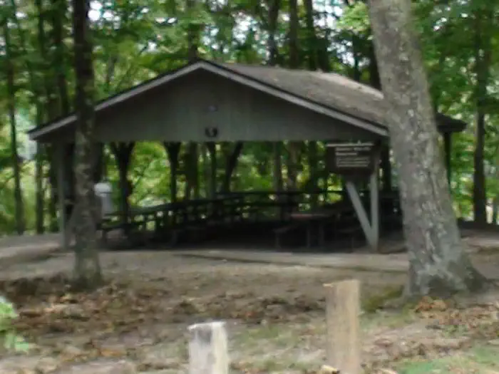
Burnsville Lake Shelters create a wonderful setting for daytime gatherings on Burnsville Lake. The six group picnic shelters are scattered across two ends of the lake. Shelters 1-4 are near the dam while shelters 5 and 6 are upstream near the inflow from the Little Kanawha River.Recreation
The primary pastime at the picnic shelters, naturally, is picnicking. Activities like biking, hiking and fishing are also quite popular.Facilities
The shelters are equipped with drinking water and a large charcoal grill; shelters 3 and 5 have electricity. All shelters are close to playgrounds and flush toilets. Groups with young children may prefer shelters 2, 3, 4 and 5, as they are nearest to playground facilities.Natural Features
The reservoir was built in 1978 for flood control. Its beautiful setting between the Allegheny Mountains and Allegheny Plateau create a lush backdrop of steep hills.Nearby Attractions
Take a trip back in time at the Bulltown Historical Village to get a taste of life during the Civil War era. The village and visitor center is nearest to shelters 5 and 6.The facts
- 6 bookable sites
- 6 sites for day use only
- 5 accessible sites
- Up to 100 people per site
- Loops: SHELTERS
Site types
- 4 Group Shelter Nonelectric
- 2 Group Shelter Electric
Amenities
- Electric hookups
- Water hookups
- Shade
Not recorded upstream: sewer hookups, campfires allowed, fire pits, picnic tables, grills, pets allowed.
6 campsites at Burnsville Lake Shelters
Check-in 6:00 AM · Check-out 10:00 PM
| Site | Loop | Type | Entry | Surface | Max rig | People | |
|---|---|---|---|---|---|---|---|
| 001 | SHELTERS | Group Shelter Nonelectric | — | Paved | — | 100 | ♿ |
| 002 | SHELTERS | Group Shelter Nonelectric | — | Paved | — | 100 | ♿ |
| 003 | SHELTERS | Group Shelter Electric | — | Paved | — | 100 | ♿ |
| 004 | SHELTERS | Group Shelter Nonelectric | — | Paved | — | 100 | ♿ |
| 005 | SHELTERS | Group Shelter Electric | — | Paved | — | 100 | ♿ |
| 006 | SHELTERS | Group Shelter Nonelectric | — | Paved | — | 100 |
Getting there
To reach Picnic Shelters 1-4:
From Clarksburg, drive south on I-79 to Exit 79 (Burnsville). Turn left and proceed through town until you reach a junction. Turn right onto Route 5 East. Follow approximately 2.5 miles. Turn right and enter the downstream area.
For Shelter 1: Turn right and enter the downstream area; shelter is next to the restroom. For Shelter 2: Turn right and enter the downstream area; shelter is next to the playground and ball field directly below the dam. For Shelters 3-4: Turn left into the Left Fork area adjacent the boat ramp.
To reach Picnic Shelters 5-6: From Clarksburg, drive south on I-79. Take Exit 67 (Flatwoods). Turn left at the stop light and proceed north on Route 19. Follow for 10 miles. Shelters will be on the left, adjacent to the Confederate Overlook.
For Shelter 1: Turn right and enter the downstream area; shelter is next to the restroom. For Shelter 2: Turn right and enter the downstream area; shelter is next to the playground and ball field directly below the dam. For Shelters 3-4: Turn left into the Left Fork area adjacent the boat ramp.
To reach Picnic Shelters 5-6: From Clarksburg, drive south on I-79. Take Exit 67 (Flatwoods). Turn left at the stop light and proceed north on Route 19. Follow for 10 miles. Shelters will be on the left, adjacent to the Confederate Overlook.
38.79167, -80.56639 · 38°47'30.0"N 80°33'59.0"W
Typical weather
| Jan | Feb | Mar | Apr | May | Jun | Jul | Aug | Sep | Oct | Nov | Dec | |
|---|---|---|---|---|---|---|---|---|---|---|---|---|
| High °F | — | — | — | — | — | — | — | — | — | — | — | — |
| Low °F | — | — | — | — | — | — | — | — | — | — | — | — |
| Precip in | 3.8 | 3.4 | 4.3 | 3.9 | 5.0 | 5.2 | 5.6 | 4.2 | 3.5 | 3.5 | 3.1 | 4.0 |
1991–2020 averages from the nearest NOAA station, 4.7 mi away — not measured at the facility itself, and elevation can make a real difference over that distance.
Map
Member photos
Common questions about Burnsville Lake Shelters
- Can you reserve a site at Burnsville Lake Shelters?
- Yes, Burnsville Lake Shelters is reservable through Recreation.gov.
- How many campsites does Burnsville Lake Shelters have?
- 6 sites.
- Does Burnsville Lake Shelters have hookups?
- Electric, Water.
Camping near Burnsville Lake Shelters
- Bulltown Camp less than 0.1 mi · Campground · we watch it
- Riffle Run Campground 4.2 mi · Campground · we watch it
- Gerald Freeman Campground 7.8 mi · Campground · we watch it
- Bee Run Campground 10.4 mi · Campground · we watch it
- Sutton Lake Picnic Shelters 11.2 mi · Campground · we watch it
- Bakers Run Campground 12.2 mi · Campground · we watch it
- Bishop Knob Campground 31.6 mi · Campground
- Cranberry Campground 32.9 mi · Campground
- Big Rock Campground 34.3 mi · Campground
- Cranberry River Sites 34.4 mi · Campground
- Williams River Sites 35.6 mi · Facility
- Tea Creek Campground 35.9 mi · Campground
Contact
- Phone (304) 853-2371
- Book Recreation.gov
Recreation.gov last updated this record on 2026-02-25.
Facility information and photographs from Recreation.gov (RIDB). SpotOpened is not affiliated with Recreation.gov or any federal agency.
Comments