Blue Bend Rec Area
Campground · West Virginia · 23 bookable sites ·
Managed by the USDA Forest Service
Neola Wildlife Management Area (Wildlife Management Area) · Restricted Access
- 23
- Bookable sites
- 60 ft
- Max rig length
- up to 75
- People per site
- 1,913 ft
- Elevation
Overview
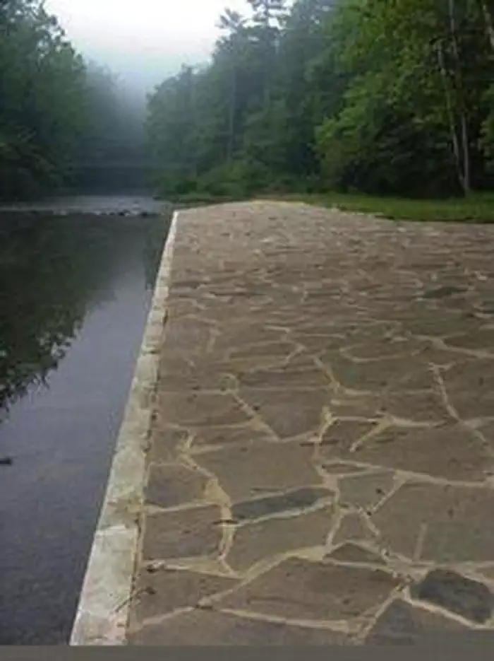
Blue Bend Recreation Area is a quaint wooded area filled with plenty of hiking, picnicking and camping opportunities. Constructed in the 1930s by the Civilian Conservation Corps, the rustic wood tables and shelters appeal to many day and overnight visitors.The recreation area, along Anthony Creek, has a selection of single family campsites and 2 picnic shelters. The large group picnic shelter accommodates 75 people and can be reserved in peak season.
Recreation
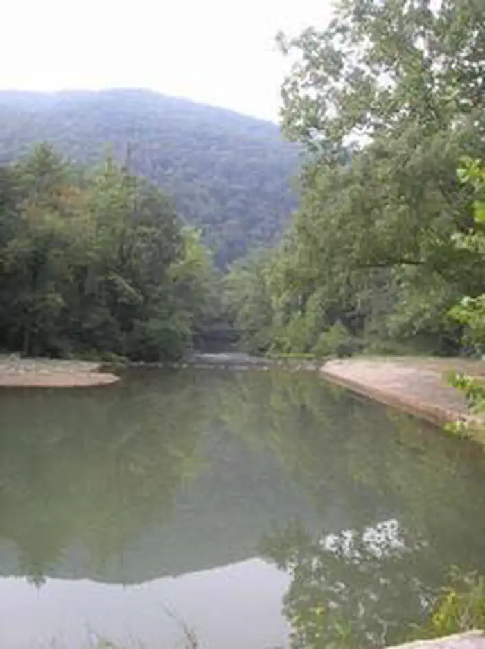
Swimming is nice and refreshing in Anthony Creek, and anglers can find trout here. The Blue Bend Recreation Area provides access to the BIg Draft WIlderness. A popular excursion into the wilderness is the 5-mile Blue Bend Loop Trail, which connects to the Anthony Creek Trail. Blue Bend Loop Trail offers 3 scenic overlooks.Facilities
Flush toilets and showers are available in summer, and vault toilets can be used through the spring and fall seasons. Running water is also seasonal, but a hand pump is available through spring and fall.Each site is on a parking spur with a picnic table, campfire ring, trash bin and lantern post.
Natural Features
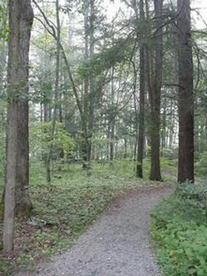
At an elevation of 1,860 feet, the campground is in a pleasant, wooded valley facing Round Mountain in the Monongahela National Forest. The forest comprises about a million acres of forest that attracts 1.3 million visitors each year.A variety of animals make their home here, including black bear, coyote, wild turkey, white-tailed deer, red and gray fox, bobcat, fisher, otter and mink.
Nearby Attractions
The facts
- 23 bookable sites
- 2 sites for day use only
- Vehicles up to 60 ft
- Up to 75 people per site
- Loops: BLUE, BLUE BEND, BLUS
Site types
- 18 Standard Nonelectric
- 2 Standard Electric
- 1 Group Shelter Electric
- 1 Group Shelter Nonelectric
- 1 RV Electric
Amenities
- Electric hookups
- Campfires allowed
- Picnic tables
- Shade
- Pets allowed
- Water hookups — not available
- Sewer hookups — not available
Not recorded upstream: fire pits, grills.
23 campsites at Blue Bend Rec Area
| Site | Loop | Type | Entry | Surface | Max rig | People | |
|---|---|---|---|---|---|---|---|
| 001 | BLUE | Group Shelter Electric | — | Gravel | — | 75 | |
| 001 | BLUE BEND | Standard Nonelectric | Back In | Gravel | 55 ft | 8 | |
| 002 | BLUE BEND | Standard Electric | Back In | Gravel | 60 ft | 8 | |
| 003 | BLUE BEND | Standard Nonelectric | Back In | Gravel | 55 ft | 8 | |
| 004 | BLUE BEND | Standard Nonelectric | Back In | Gravel | 40 ft | 8 | |
| 005 | BLUE BEND | Standard Nonelectric | Back In | Gravel | 45 ft | 8 | |
| 006 | BLUE BEND | Standard Nonelectric | Back In | Gravel | 40 ft | 8 | |
| 007 | BLUE BEND | Standard Nonelectric | Back In | Gravel | 45 ft | 8 | |
| 008 | BLUE BEND | Standard Nonelectric | Back In | Gravel | 45 ft | 8 | |
| 009 | BLUE BEND | Standard Nonelectric | Back In | Gravel | 50 ft | 8 | |
| 010 | BLUE BEND | Standard Nonelectric | Back In | Gravel | 30 ft | 8 | |
| 011 | BLUE BEND | Standard Nonelectric | Back In | Gravel | 45 ft | 8 | |
| 012 | BLUE BEND | Standard Nonelectric | Back In | Gravel | 55 ft | 8 | |
| 013 | BLUE BEND | Rv Electric | Back In | Gravel | 60 ft | 16 | 🐾 |
| 014 | BLUE BEND | Standard Nonelectric | Back In | Gravel | 60 ft | 8 | |
| 015 | BLUE BEND | Standard Electric | Back In | Gravel | 55 ft | 8 | |
| 016 | BLUE BEND | Standard Nonelectric | Back In | Gravel | 45 ft | 8 | |
| 017 | BLUE BEND | Standard Nonelectric | Back In | Gravel | 45 ft | 8 | |
| 018 | BLUE BEND | Standard Nonelectric | Back In | Gravel | 45 ft | 8 | |
| 019 | BLUE BEND | Standard Nonelectric | Back In | Gravel | 45 ft | 8 | |
| 020 | BLUE BEND | Standard Nonelectric | Back In | Gravel | 45 ft | 8 | |
| 021 | BLUE BEND | Standard Nonelectric | Back In | Gravel | 55 ft | 8 | |
| 002 | BLUS | Group Shelter Nonelectric | — | Gravel | — | 25 |
Getting there
37.92028, -80.27111 · 37°55'13.0"N 80°16'16.0"W
Typical weather
| Jan | Feb | Mar | Apr | May | Jun | Jul | Aug | Sep | Oct | Nov | Dec | |
|---|---|---|---|---|---|---|---|---|---|---|---|---|
| High °F | — | — | — | — | — | — | — | — | — | — | — | — |
| Low °F | — | — | — | — | — | — | — | — | — | — | — | — |
| Precip in | 3.6 | 3.2 | 4.0 | 4.0 | 4.6 | 4.1 | 4.5 | 3.6 | 3.6 | 2.8 | 2.8 | 3.9 |
1991–2020 averages from the nearest NOAA station, 7.1 mi away — not measured at the facility itself, and elevation can make a real difference over that distance.
Map
Fees and stay limits
Fees are reduced when water system is shut down in the fall each year in mid October and then raised again in teh spring when water systems are turned back on. Water system availabiliy is based on weahter conditions and varies between mid April and early May. Call ahead to check on status before planning your trip.
From Recreation.gov, which is not always current. The operator's own page is the authority on what you will be charged.
More photos
Member photos
Common questions about Blue Bend Rec Area
- Can you reserve a site at Blue Bend Rec Area?
- Yes, Blue Bend Rec Area is reservable through Recreation.gov.
- How many campsites does Blue Bend Rec Area have?
- 23 sites.
- What is the maximum RV length at Blue Bend Rec Area?
- 60 ft. That is the longest vehicle the sites here are recorded as taking; individual sites may be shorter.
- Are pets allowed at Blue Bend Rec Area?
- Yes, pets are allowed at Blue Bend Rec Area.
- Does Blue Bend Rec Area have hookups?
- Electric.
- Are campfires allowed at Blue Bend Rec Area?
- Campfires are allowed at Blue Bend Rec Area. Check for a current fire restriction before you go.
Camping near Blue Bend Rec Area
- Blue Meadow 1.2 mi · Campground · we watch it
- Hopkins Mountain Fireman's Cabin 2.1 mi · Campground · we watch it
- Lake Sherwood 15.4 mi · Campground · we watch it
- Morris Hill Campground 16.4 mi · Campground · we watch it
- Coles Point 17 mi · Campground · we watch it
- Bolar Mountain Recreation Area 17.1 mi · Campground · we watch it
- McClintic Point 17.1 mi · Campground · we watch it
- Blue Bend Recreation Area and Campground 0.6 mi · Campground
- White Sulphur Springs National Fish Hatchery 8.6 mi · Facility
- Greenwood Point Campground 16.9 mi · Campground
- Cranberry Glades Botanical Area 19.5 mi · Campground
- McClintic Point Campground 20.2 mi · Campground
Contact
- Phone 304-536-2144 FOR DISTRICT OFFICE AND 304-536-1440 FOR CAMPGROUND FROM MAY TO AUGUST
- Email visit@svlandmgt.com
- Book Recreation.gov
Recreation.gov last updated this record on 2026-04-01.
Facility information and photographs from Recreation.gov (RIDB). SpotOpened is not affiliated with Recreation.gov or any federal agency.
Comments