Lac Vieux Desert Campground
Campground · Wisconsin · 31 bookable sites ·
Managed by the USDA Forest Service
Nicolet National Forest (NF) · Open Access
- 31
- Bookable sites
- 40 ft
- Max rig length
- up to 8
- People per site
- 1,693 ft
- Elevation
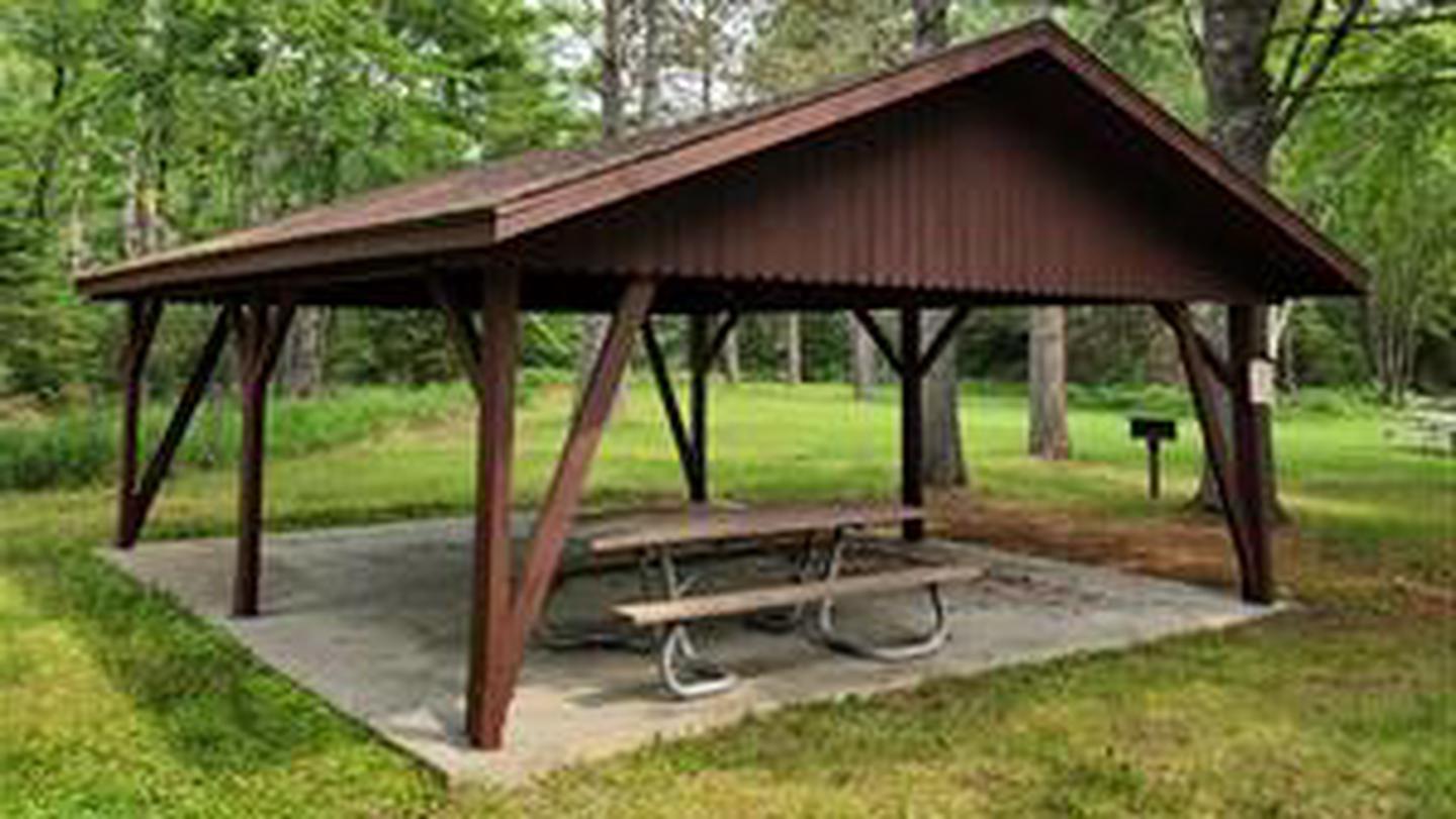
Overview
Lac Vieux Desert Campground is located on the western shore of Lac Vieux Desert, the headwaters of the Wisconsin River. Located in the northwest corner of the Nicolet National Forest, just miles from the Michigan Border, Lac Vieux Desert is one of the premier fisheries in the State of Wisconsin.
Recreation
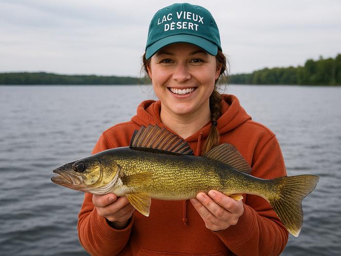
With walleye, northern pike, musky, large and smallmouth bass, as well as a variety of panfish, Lac Vieux Desert is an angler's paradise. The campgrounds boat landing provides direct access to the lake for the early morning or late evening bite.
Facilities
With 31 campsites accommodating trailers from 35 to 40 feet in length, drinking water, accessible vault toilets, and garbage dumpsters provided, Lac Vieux Desert Campground may become your new fishing headquarters.
Natural Features
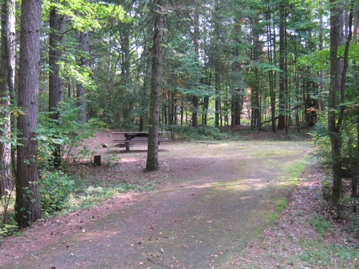
Sitting on the western shore of 4,017-acre Lac Vieux Desert, the campground and its sites are nestled amongst tall pines and maples, creating the perfect setting for a weekend getaway.
Nearby Attractions
The town of Phelps and the Phelps to Conover bicycle trail lie a few miles southeast of the campground. Other lakes in close proximity to the campground are North Twin, Long, Big Sand, and Smokey Lake, all of which are known to have excellent fisheries.
Contact Info
For facility specific information, please call (715) 479-2827.The facts
- Season: May 2 – October 15 — USDA Forest Service, Aug 24, 2026
- 31 bookable sites
- 32 sites in total, including non-bookable
- Vehicles up to 40 ft
- Up to 8 people per site
- Loops: LVD
Site types
- 31 Standard Nonelectric
- 1 Management
Amenities
- Campfires allowed
- Fire pits
- Picnic tables
- Shade
- Pets allowed
- Water hookups — not available
Not recorded upstream: electric hookups, sewer hookups, grills.
32 campsites at Lac Vieux Desert Campground
Check-in 02:00 PM · Check-out 12:00 PM
| Site | Loop | Type | Entry | Surface | Grade | Max rig | People | |
|---|---|---|---|---|---|---|---|---|
| 1 | LVD | Standard Nonelectric | Back In | Paved | Slight | 40 ft | 8 | 🐾 |
| 10 | LVD | Standard Nonelectric | Back In | Paved | Slight | 40 ft | 8 | 🐾 |
| 11 | LVD | Standard Nonelectric | — | — | — | 40 ft | 8 | 🐾 |
| 12 | LVD | Standard Nonelectric | Back In | Paved | Slight | 40 ft | 8 | 🐾 |
| 13 | LVD | Standard Nonelectric | — | — | — | 40 ft | 8 | 🐾 |
| 14 | LVD | Standard Nonelectric | — | — | — | 40 ft | 8 | 🐾 |
| 15 | LVD | Standard Nonelectric | — | — | — | 35 ft | 8 | 🐾 |
| 16 | LVD | Standard Nonelectric | — | — | — | 40 ft | 8 | 🐾 |
| 17 | LVD | Standard Nonelectric | — | — | — | 40 ft | 8 | 🐾 |
| 18 | LVD | Standard Nonelectric | Back In | Paved | Slight | 40 ft | 8 | 🐾 |
| 19 | LVD | Standard Nonelectric | — | — | — | 40 ft | 8 | 🐾 |
| 2 | LVD | Standard Nonelectric | — | — | — | 40 ft | 8 | 🐾 |
| 20 | LVD | Standard Nonelectric | — | — | — | 40 ft | 8 | 🐾 |
| 21 | LVD | Standard Nonelectric | — | — | — | 40 ft | 8 | 🐾 |
| 22 | LVD | Standard Nonelectric | Back In | Paved | Slight | 35 ft | 8 | 🐾 |
| 23 | LVD | Standard Nonelectric | — | — | — | 40 ft | 8 | 🐾 |
| 24 | LVD | Standard Nonelectric | Back In | Paved | Slight | 35 ft | 8 | 🐾 |
| 25 | LVD | Standard Nonelectric | Back In | Paved | Slight | 40 ft | 8 | 🐾 |
| 26 | LVD | Standard Nonelectric | Back In | Paved | Slight | 40 ft | 8 | 🐾 |
| 27 | LVD | Standard Nonelectric | — | — | — | 40 ft | 8 | 🐾 |
| 28 | LVD | Standard Nonelectric | — | — | — | 40 ft | 8 | 🐾 |
| 29 | LVD | Standard Nonelectric | Back In | Paved | Slight | 40 ft | 8 | 🐾 |
| 3 | LVD | Standard Nonelectric | — | — | — | 40 ft | 8 | 🐾 |
| 30 | LVD | Standard Nonelectric | Back In | Paved | Slight | 40 ft | 8 | 🐾 |
| 31 | LVD | Standard Nonelectric | Back In | Paved | Slight | 35 ft | 8 | 🐾 |
| 4 | LVD | Standard Nonelectric | Back In | Paved | Slight | 40 ft | 8 | 🐾 |
| 5 | LVD | Standard Nonelectric | — | — | — | 40 ft | 8 | 🐾 |
| 6 | LVD | Standard Nonelectric | Back In | Paved | Slight | 40 ft | 8 | 🐾 |
| 7 | LVD | Standard Nonelectric | — | — | — | 40 ft | 8 | 🐾 |
| 8 | LVD | Standard Nonelectric | Back In | Paved | Slight | 40 ft | 8 | 🐾 |
| 9 | LVD | Standard Nonelectric | Back In | Paved | Slight | 40 ft | 8 | 🐾 |
| S&P Single | LVD | Management | — | — | — | — | 8 | 🐾 |
Getting there
From Conover drive north 5.9 miles on Highway 45/32 to County Road E. Turn right (east) on E and drive 2.8 miles to FR2205 (West Shore Road). Turn left (north) and drive 1.3 miles to the campground entrance on the right.
From Land O'Lakes drive south 2 miles on Highway 45/32 to County Road E. Turn right (east) on E and drive 2.8 miles to FR2205 (West Shore Road). Turn left (north) and drive 1.3 miles to the campground entrance on the right.
46.13640, -89.15270 · 46°8'11.0"N 89°9'9.7"W
Typical weather
| Jan | Feb | Mar | Apr | May | Jun | Jul | Aug | Sep | Oct | Nov | Dec | |
|---|---|---|---|---|---|---|---|---|---|---|---|---|
| High °F | — | — | — | — | — | — | — | — | — | — | — | — |
| Low °F | — | — | — | — | — | — | — | — | — | — | — | — |
| Precip in | 1.6 | 1.3 | 1.8 | 3.0 | 3.6 | 4.2 | 4.6 | 3.6 | 3.8 | 3.8 | 2.3 | 2.0 |
1991–2020 averages from the nearest NOAA station, 3.8 mi away — not measured at the facility itself, and elevation can make a real difference over that distance.
Map
More photos
Member photos
Common questions about Lac Vieux Desert Campground
- Can you reserve a site at Lac Vieux Desert Campground?
- Yes, Lac Vieux Desert Campground is reservable through Recreation.gov.
- How many campsites does Lac Vieux Desert Campground have?
- 32 sites in total, of which 31 can be booked.
- What is the maximum RV length at Lac Vieux Desert Campground?
- 40 ft. That is the longest vehicle the sites here are recorded as taking; individual sites may be shorter.
- Are pets allowed at Lac Vieux Desert Campground?
- Yes, pets are allowed at Lac Vieux Desert Campground.
- Does Lac Vieux Desert Campground have hookups?
- No hookups are recorded here.
- Are campfires allowed at Lac Vieux Desert Campground?
- Campfires are allowed at Lac Vieux Desert Campground. Check for a current fire restriction before you go.
Also listed by
Lac Vieux Desert Campground also appears in other federal recreation data. Facts below are matched by name and location, not confirmed by Lac Vieux Desert Campground's operator.
USDA Forest Service — data as of Aug 24, 2026
- Individual campsite fee is $15, or $7.50 with the use of an Interagency pass (access or senior). The interagency pass applies only to the fee for the campsite physically occupied by the pass holder, not to any additional fees or campsite(s) occupied by members of the pass holder's party.
Camping near Lac Vieux Desert Campground
- Marion Lake Group Site 9.6 mi · Campground · we watch it
- Sylvania (Clark Lake) Campground 10.6 mi · Campground · we watch it
- Sylvania Wilderness Backcountry Camping 10.6 mi · Campground · we watch it
- Clark Lake Pavilion 10.6 mi · Campground · we watch it
- Spectacle Lake Campground (Wisconsin) 11 mi · Campground · we watch it
- Kentuck Lake Campground 13.1 mi · Campground · we watch it
- Anvil Lake Campground 14.5 mi · Campground · we watch it
- Imp Lake Campground 6.9 mi · Campground
- Iron River Ranger District 8.7 mi · Facility
- Blackjack Springs Wilderness 12.3 mi · Facility
- Golden Lake Campground 13.1 mi · Campground
- Burned Dam Campground 13.1 mi · Campground
Contact
- Email evan.miller@usda.gov
- Book Recreation.gov
Recreation.gov last updated this record on 2026-03-11.
Facility information and photographs from Recreation.gov (RIDB). SpotOpened is not affiliated with Recreation.gov or any federal agency.
Comments