Patos Island
Facility · Washington ·
Managed by the Bureau of Land Management
Spokane Wenatchee Field Office (Bureau of Land Management OR) · Open Access
- 43 ft
- Elevation
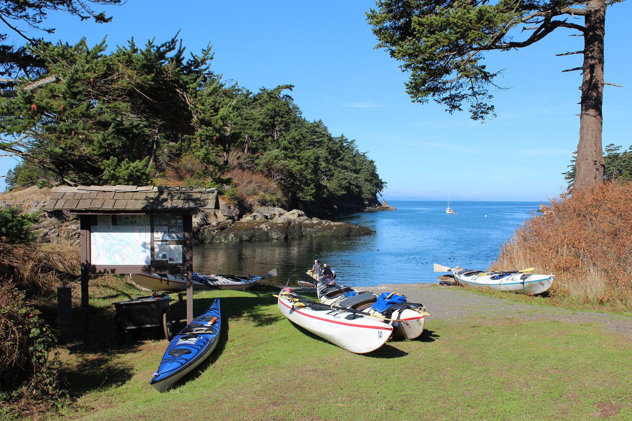
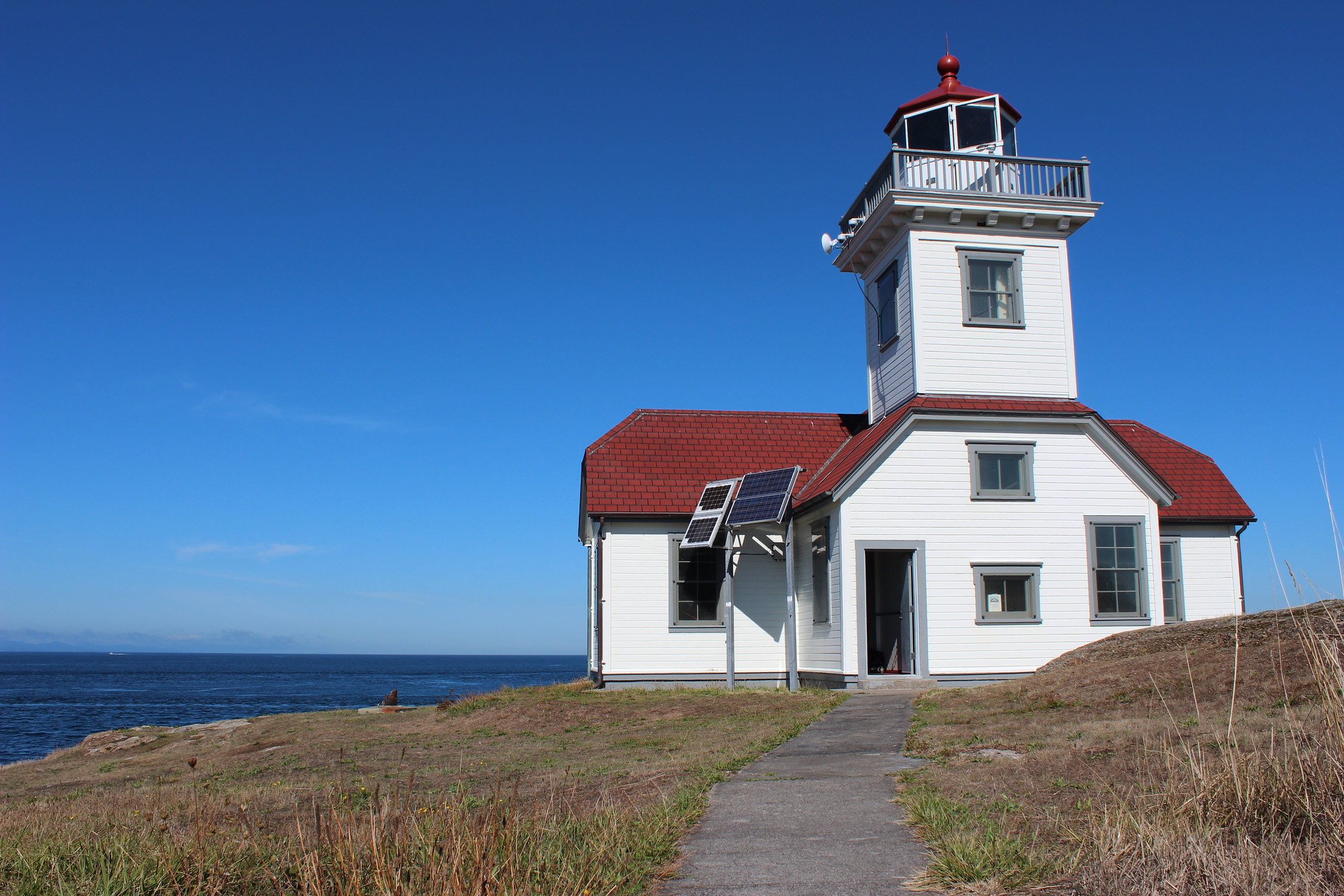
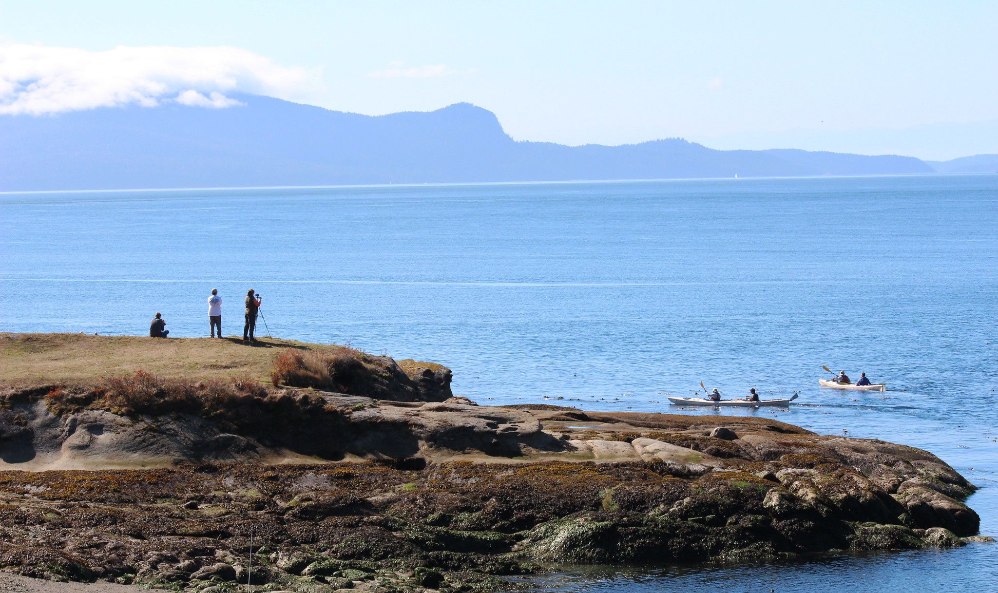
Welcome to the northwestern-most point in the lower 48 states! Patos Island is a wild and remote 200-acre island in the beautiful Salish Sea. The mountains of Canada and the spectacular Cascade and Olympic mountain ranges provide scenic backdrops to this special area. Recreational activities include hiking, camping, boating, sea kayaking, watching wildlife, and viewing wildflowers along the beaches, wooded areas, and at overlooks. The BLM cooperatively manages the area with Washington State Parks. Patos Island Lighthouse, built in 1893, stands on the western-most end of the island, providing light and reference to mariners.
Know Before You Go
- Patos Island is open YEAR ROUND.
- Limited mooring buoys and campsites in Active Cove are offered on a first-come, first-served basis. Patos Island is only accessible by watercraft.
- Patos Island is very primitive and there is no fresh water available on site.
- On October 7, 2014, San Juan County became the first County in the U.S. designated as a voluntary Leave No Trace Area.
- Don't Move Firewood: Help protect our public lands! Prevent the spread of tree-killing pests by obtaining firewood at or near your destination and burning it on-site. Moving firewood is illegal in some states. Visit dontmovefirewood.org to learn more.
Point of Interest
Keepers of the Patos Light are a nonprofit partner group that operates a small interpretive museum during the summer weekends from June through September, based on weather and available volunteers.
Getting there
Patos Island State Park is located five miles northwest of Orcas Island in San Juan County. It is accessible only by boat and there is no commercial ferry service to the park. The nearest launch sites are at Point Roberts Marina (13 miles north), Blaine Harbor (11 miles northeast), and Squallicum Harbor in Bellingham (24 miles east).
48.78285, -122.95218 · 48°46'58.3"N 122°57'7.8"W
Typical weather
| Jan | Feb | Mar | Apr | May | Jun | Jul | Aug | Sep | Oct | Nov | Dec | |
|---|---|---|---|---|---|---|---|---|---|---|---|---|
| High °F | — | — | — | — | — | — | — | — | — | — | — | — |
| Low °F | — | — | — | — | — | — | — | — | — | — | — | — |
| Precip in | 4.8 | 3.8 | 4.0 | 2.6 | 2.3 | 1.5 | 1.1 | 1.2 | 1.9 | 3.7 | 5.3 | 4.8 |
1991–2020 averages from the nearest NOAA station, 11.2 mi away — not measured at the facility itself, and elevation can make a real difference over that distance.
Map
Fees and stay limits
Washington State Park fees apply.
From Recreation.gov, which is not always current. The operator's own page is the authority on what you will be charged.
More photos
Member photos
Common questions about Patos Island
- Can you reserve a site at Patos Island?
- No. Patos Island is not reservable through Recreation.gov, so sites are first-come, first-served or booked elsewhere.
Camping near Patos Island
- Douglas Fir Campground 48 mi · Campground · we watch it
- Excelsior Group Camp 52.1 mi · Campground · we watch it
- Blind Island 13.7 mi · Facility
- American Camp Visitor Center 22.2 mi · Facility
- Forest Info Center with HQ Administration Building 38 mi · Facility
- Fort Casey State Park 45.1 mi · Facility
- San Juan Wilderness 45.7 mi · Facility
- Mt. Baker Highway (SR 542) 45.8 mi · Facility
- Coleman Glacier Climbing Route 48.1 mi · Facility
- Olympic Coast Discovery Center 50.7 mi · Facility
- Mt. Baker Summit - Climbing 51.6 mi · Facility
- Olympic National Park Visitor Center 52 mi · Facility
Contact
- Phone 509-220-5976
- Email blm_or_sanjuanislandsnm@blm.gov
- Info Recreation.gov
Recreation.gov last updated this record on 2026-05-28.
Facility information and photographs from Recreation.gov (RIDB). SpotOpened is not affiliated with Recreation.gov or any federal agency.
Comments