Money Creek Campground
Campground · Washington · 23 bookable sites ·
Managed by the USDA Forest Service
Snoqualmie National Forest (NF) · Open Access
- 23
- Bookable sites
- 40 ft
- Max rig length
- up to 12
- People per site
- 1
- Accessible site
- 871 ft
- Elevation
Overview
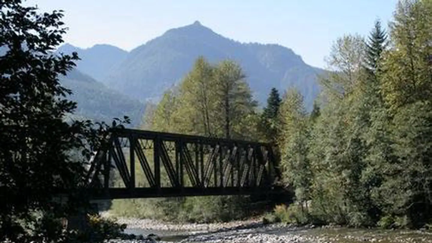
Situated on the banks of the South Fork Skykomish River in Mt. Baker-Snoqualmie National Forest, Money Creek campground offers some of the most stunning scenery in the northern Cascade Range in Washington.Scattered beneath a towering canopy of old-growth forest, the sites in this campground are widely spaced and several are at the river's edge, making it an ideal setting for visitors wanting to camp in a private, rustic setting.
Recreation
In addition to being a prime location for hiking, and fishing in summer and early fall, Money Creek offers excellent skiing and snowshoeing in the winter months.The Mt. Baker-Snoqualmie National Forest's 1,500 miles of trails can entice any hiker to get outdoors. From smooth paths meandering through deep quiet forests to challenging ascents up boulder-studded mountains, opportunities abound for every skill level.
Nearby Barclay Creek Trail is an easier hike that follows Barclay Creek through diverse forest until reaching Barclay Lake at an elevation of 2,422 feet. Along the trail, hikers will encounter old growth trees, deer ferns, trillium, wood violets, bleeding hearts and salmon berries in season. Cedar boardwalks lead to a log bridge that crosses Barclay Creek. Once over the bridge, visitors will arrive at the lake and can take in an outstanding view of the north wall of Baring Mountain, dramatically rising 3,700 feet above the lake.
Facilities
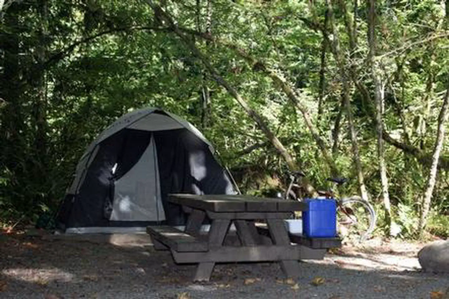
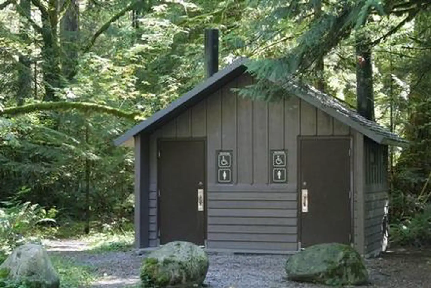
Money Creek campground offers standard sites, accommodating both tent and RV camping. Picnic tables, vault toilets and drinking water are also available.The nearby Miller River/Money Creek Winter Sports Area is popular base for winter activities.
Natural Features
Hemmed in by several designated wilderness areas, the Mt. Baker-Snoqualmie National Forest showcases rugged peaks, sparkling alpine lakes and old-growth forests.Mt. Baker, the most prominent feature of the Mt. Baker Wilderness Area, dominates the landscape on a clear day. Rising to an elevation of 10,781 feet, the active volcano from which the forest takes its name is perpetually snow-capped and mantled with an extensive network of creeping glaciers. Mt. Baker's summit, Grant Peak, is actually a 1,300-foot-deep mound of ice, which hides a massive volcanic crater.
Wildlife in the area include mountain goats, coyotes, pine marten and a variety of migratory birds and native fish.
Contact Info
For facility specific information, please call (530) 932-0242.Nearby Attractions
The nearby Stevens Pass Historic District offers education on the area's colorful railroad and mining history. The slopes at Steven's Pass Ski Area are only a two hour drive from Money Creek campground.Visitors enjoy the North Cascades and Mt. Rainer National Parks, where interpretive programs and exhibits offer education about the diverse landscape and history of the area.
Charges & Cancellations
Once your reservation start date has begun, neither the Recreation.gov Contact Center nor the campground manager will be able to modify your reservation.
The facts
- 23 bookable sites
- 24 sites in total, including non-bookable
- 1 site for day use only
- 1 accessible site
- Vehicles up to 40 ft
- Up to 12 people per site
- Loops: MONEY CREEK
Site types
- 22 Standard Nonelectric
- 1 Management
- 1 Tent Only Nonelectric
Amenities
- Campfires allowed
- Fire pits
- Picnic tables
- Grills
- Shade
- Pets allowed
Not recorded upstream: electric hookups, water hookups, sewer hookups.
24 campsites at Money Creek Campground
Check-in 2:00 PM · Check-out 12:00 PM
| Site | Loop | Type | Entry | Surface | Water | Max rig | People | |
|---|---|---|---|---|---|---|---|---|
| 001 | MONEY CREEK | Tent Only Nonelectric | Pull Through | Paved | — | 30 ft | 6 | 🐾 |
| 002 | MONEY CREEK | Standard Nonelectric | Back In | Gravel | — | 30 ft | 6 | 🐾 |
| 003 | MONEY CREEK | Standard Nonelectric | Back In | Gravel | — | 35 ft | 6 | 🐾 |
| 004 Multi | MONEY CREEK | Standard Nonelectric | Back In | Paved | — | 35 ft | 12 | 🐾 |
| 005 | MONEY CREEK | Standard Nonelectric | Pull Through | Paved | Riverfront | 20 ft | 6 | 🐾 |
| 006 | MONEY CREEK | Standard Nonelectric | Back In | Gravel | Riverfront | 34 ft | 6 | 🐾 |
| 007 | MONEY CREEK | Standard Nonelectric | Pull Through | Paved | Riverfront | 40 ft | 6 | 🐾 |
| 008 | MONEY CREEK | Standard Nonelectric | Back In | Gravel | Riverfront | 30 ft | 6 | 🐾 |
| 009 | MONEY CREEK | Standard Nonelectric | Pull Through | Paved | — | 40 ft | 6 | 🐾 |
| 010 | MONEY CREEK | Standard Nonelectric | Back In | Paved | — | 35 ft | 6 | 🐾 |
| 011 | MONEY CREEK | Standard Nonelectric | Pull Through | Paved | — | 30 ft | 6 | 🐾 |
| 012 | MONEY CREEK | Standard Nonelectric | Pull Through | Paved | — | 40 ft | 6 | 🐾 |
| 013 | MONEY CREEK | Standard Nonelectric | Back In | Gravel | — | 30 ft | 6 | 🐾 |
| 014 | MONEY CREEK | Standard Nonelectric | Back In | Gravel | — | 30 ft | 6 | 🐾 |
| 015 | MONEY CREEK | Standard Nonelectric | Back In | Gravel | — | 30 ft | 6 | 🐾 |
| 016 Closed | MONEY CREEK | Management | — | — | Riverfront | 32 ft | 6 | |
| 017 | MONEY CREEK | Standard Nonelectric | Back In | Gravel | Riverfront | 30 ft | 6 | 🐾 |
| 018 | MONEY CREEK | Standard Nonelectric | Back In | Gravel | Riverfront | 30 ft | 6 | 🐾 |
| 019 | MONEY CREEK | Standard Nonelectric | Back In | Gravel | Riverfront | 30 ft | 6 | 🐾 |
| 020 | MONEY CREEK | Standard Nonelectric | Back In | Gravel | Riverfront | 30 ft | 6 | 🐾 |
| 021 | MONEY CREEK | Standard Nonelectric | Back In | Gravel | Riverfront | 28 ft | 6 | 🐾 |
| 022 | MONEY CREEK | Standard Nonelectric | Back In | Gravel | Riverfront | 25 ft | 6 | ♿ 🐾 |
| 023 | MONEY CREEK | Standard Nonelectric | Back In | Gravel | Riverfront | 34 ft | 6 | 🐾 |
| 024 | MONEY CREEK | Standard Nonelectric | Back In | Gravel | Riverfront | 25 ft | 6 | 🐾 |
Getting there
47.72909, -121.40816 · 47°43'44.7"N 121°24'29.4"W
Typical weather
Typically 77°F in Aug, down to 41°F in Dec.
| Jan | Feb | Mar | Apr | May | Jun | Jul | Aug | Sep | Oct | Nov | Dec | |
|---|---|---|---|---|---|---|---|---|---|---|---|---|
| High °F | 42 | 47 | 52 | 59 | 66 | 69 | 77 | 77 | 71 | 58 | 47 | 41 |
| Low °F | 32 | 32 | 34 | 38 | 44 | 48 | 52 | 52 | 48 | 42 | 36 | 32 |
| Precip in | 16.7 | 10.6 | 11.9 | 8.3 | 5.0 | 4.0 | 1.7 | 1.9 | 4.8 | 12.3 | 18.1 | 14.6 |
1991–2020 averages from the nearest NOAA station, 4.5 mi away — not measured at the facility itself, and elevation can make a real difference over that distance.
Map
More photos
Member photos
Common questions about Money Creek Campground
- Can you reserve a site at Money Creek Campground?
- Yes, Money Creek Campground is reservable through Recreation.gov.
- How many campsites does Money Creek Campground have?
- 24 sites in total, of which 23 can be booked.
- What is the maximum RV length at Money Creek Campground?
- 40 ft. That is the longest vehicle the sites here are recorded as taking; individual sites may be shorter.
- Are pets allowed at Money Creek Campground?
- Yes, pets are allowed at Money Creek Campground.
- Are campfires allowed at Money Creek Campground?
- Campfires are allowed at Money Creek Campground. Check for a current fire restriction before you go.
Also listed by
Money Creek Campground also appears in other federal recreation data. Facts below are matched by name and location, not confirmed by Money Creek Campground's operator.
USDA Forest Service — data as of Aug 24, 2026
- View Recreation.gov for Fee Information and for open season dates.
Restrictions:
- Dogs must be leashed.
Camping near Money Creek Campground
- Miller River Group Camp 2.7 mi · Campground · we watch it
- Beckler River Campground 3.5 mi · Campground · we watch it
- Heybrook Lookout 8.1 mi · Campground · we watch it
- Evergreen Mountain Lookout 10 mi · Campground · we watch it
- Troublesome Creek Campground 11.7 mi · Campground · we watch it
- Middle Fork Campground 13.9 mi · Campground · we watch it
- US Highway 2 - Skykomish Area east to Stevens Pass 10.1 mi · Facility
- San Juan Campground 11.2 mi · Campground
- Troublesome Creek Campground 11.2 mi · Campground
- Old Stevens Pass Highway (FS Road #6099) 14.7 mi · Facility
- Stevens Pass Guard Station 14.7 mi · Facility
- Bygone Byways Trailhead 18 mi · Facility
Contact
- Phone 360-419-5115
- Book Recreation.gov
Recreation.gov last updated this record on 2026-03-11.
Facility information and photographs from Recreation.gov (RIDB). SpotOpened is not affiliated with Recreation.gov or any federal agency.
Comments