East Sullivan
Campground · Washington · 46 bookable sites ·
Managed by the USDA Forest Service
Colville National Forest (NF) · Open Access
- 46
- Bookable sites
- 55 ft
- Max rig length
- up to 40
- People per site
- 38
- Accessible sites
- 3,353 ft
- Elevation
Overview
East Sullivan Campground is located at the north end of Sullivan Lake about five miles east of Metaline Falls, Washington. The campground provides a unique environment where campers can enjoy many recreational opportunities.
Recreation
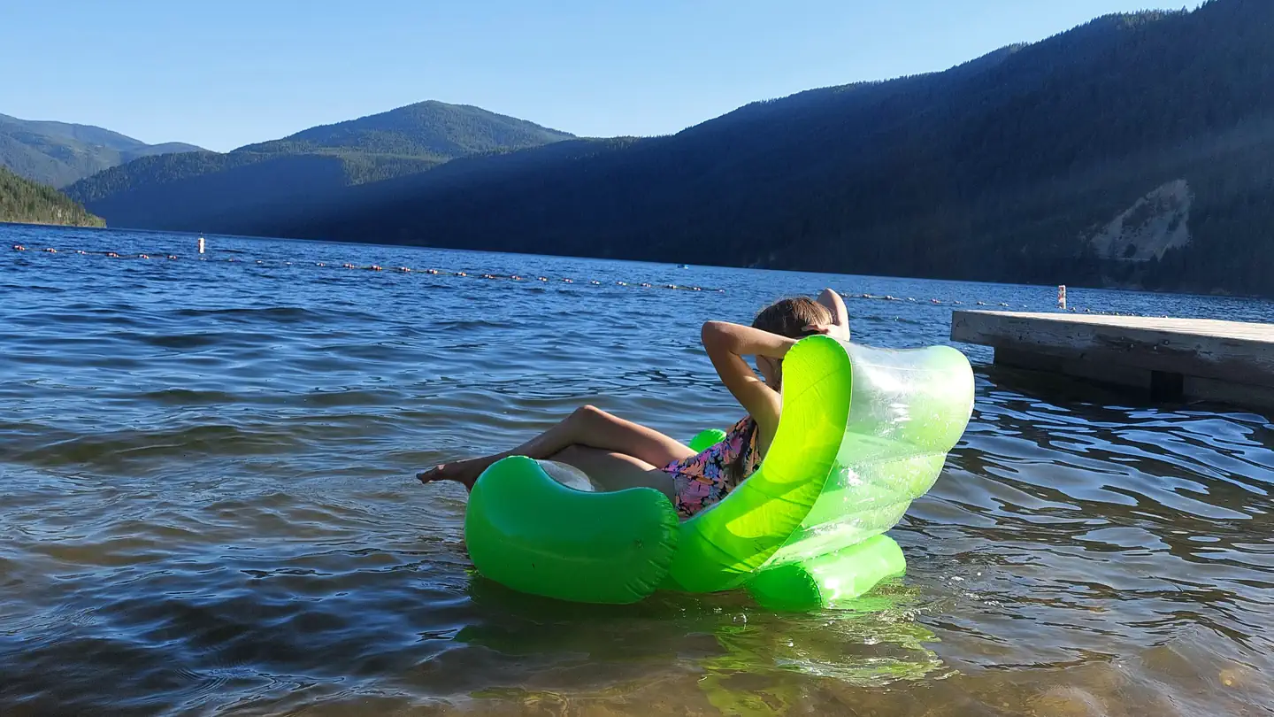
The Sullivan Lake Basin provides campers with opportunities for swimming, biking, fishing, boating and hiking. Canoeing , kayaking, paddle boarding and power boating are among the water sports popular on the lake.
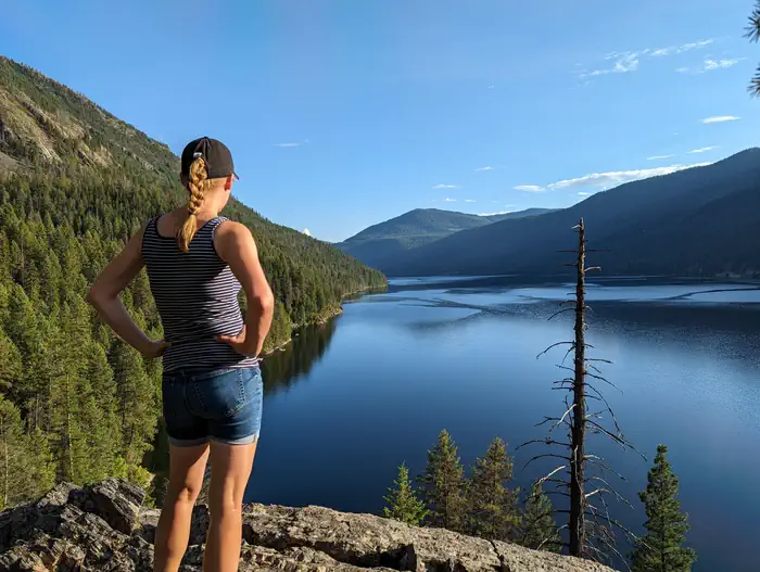
Campers can walk directly from their campsite to a short nature trail, as well as the Lakeshore Trail, a National Scenic Trail that runs along the eastern shore of the lake. This 4.2 mile trail offers viewpoint of the lake and is a popular day-hike for all ages. Biking along local trails and roads is also popular.
Common fish species include burbot and Kokanee salmon. Fishing in this deep mountain lake is most successful from a boat.
Facilities
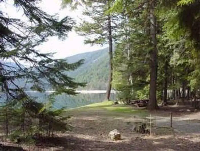
Campsites do not have a view of the lake, but they are all a short walk away. Along the lake is a day-use area, walking trail, boat ramp, picnic tables and swimming area. The group campground is located near the boat ramp and can accommodate up to 40 people. A small airstrip adjacent to the campground is used by some campers who fly in with their small aircraft, or via a chartered plane.
Natural Features
Sullivan Lake covers 1291 acres and has a depth of 320 feet. Hall Mountain rises abruptly from the eastern shore of the lake to a height of over 6000 feet. The densely wooded nature of the campground provides privacy at each campsite, and plenty of shade for warm summer days. Wildlife such as elk, moose, white-tailed deer, and black bears can be spotted in the area. In the fall, the surrounding forests are ablaze with the yellow foliage of western larch and aspen.
Nearby Attractions
The trail to the top of nearby Hall Mountain offers great views of the lake basin and surrounding mountains. Wildflowers canb abundant on this popular trail. A 20 mile drive will take you to the Salmo-Priest Wilderness area, which offers excellent hikes and rugged mountain scenery.
Sullivan Lake is about four miles southeast of Metaline Falls, a quaint town with historic buildings. Crawford State Park is located on the west side of the Pend Oreille River near the U.S.- Canada border. In the summer, a park ranger conducts under-ground tours of Gardiner Cave, the main attraction at this park. Seattle City Light offers tours of their Boundary Hydroelectric Project, on the main-stem Pend Oreille River one mile from the international border.
The facts
- 46 bookable sites
- 38 accessible sites
- Vehicles up to 55 ft
- Up to 40 people per site
- Loops: CEDAR, FIR, PINE, SULL, Walk-In
Site types
- 38 Standard Nonelectric
- 7 Walk To
- 1 Group Standard Nonelectric
Amenities
- Campfires allowed
- Fire pits
- Picnic tables
- Pets allowed
Not recorded upstream: electric hookups, water hookups, sewer hookups, grills, shade.
46 campsites at East Sullivan
Check-in 2:00 PM · Check-out 12:00 PM
| Site | Loop | Type | Entry | Surface | Access | Max rig | People | |
|---|---|---|---|---|---|---|---|---|
| 017 | CEDAR | Standard Nonelectric | Pull Through | Gravel | — | 45 ft | 8 | ♿ 🐾 |
| 018 | CEDAR | Standard Nonelectric | Back In | Gravel | — | 45 ft | 8 | ♿ 🐾 |
| 019 | CEDAR | Standard Nonelectric | Back In | Gravel | — | 40 ft | 8 | ♿ 🐾 |
| 020 | CEDAR | Standard Nonelectric | Pull Through | Gravel | — | 45 ft | 16 | ♿ 🐾 |
| 021 | CEDAR | Standard Nonelectric | Back In | Gravel | — | 40 ft | 8 | ♿ 🐾 |
| 022 | CEDAR | Standard Nonelectric | Back In | Gravel | — | 30 ft | 8 | ♿ 🐾 |
| 023 | CEDAR | Standard Nonelectric | Pull Through | Gravel | — | 45 ft | 16 | ♿ 🐾 |
| 024 | CEDAR | Standard Nonelectric | Back In | Gravel | — | 25 ft | 8 | ♿ 🐾 |
| 025 | CEDAR | Standard Nonelectric | Back In | Gravel | — | 45 ft | 16 | ♿ 🐾 |
| 026 | CEDAR | Standard Nonelectric | Back In | Gravel | — | 30 ft | 8 | ♿ 🐾 |
| 027 | CEDAR | Standard Nonelectric | Pull Through | Gravel | — | 45 ft | 16 | ♿ 🐾 |
| 028 | CEDAR | Standard Nonelectric | Back In | Gravel | — | 35 ft | 8 | ♿ 🐾 |
| 029 | CEDAR | Standard Nonelectric | Back In | Gravel | — | 35 ft | 8 | ♿ 🐾 |
| 030 | CEDAR | Standard Nonelectric | Pull Through | Gravel | — | 45 ft | 16 | ♿ 🐾 |
| 031 | CEDAR | Standard Nonelectric | Back In | Gravel | — | 35 ft | 8 | ♿ 🐾 |
| 001 | FIR | Standard Nonelectric | Back In | Gravel | — | 40 ft | 8 | ♿ 🐾 |
| 002 | FIR | Standard Nonelectric | Back In | Gravel | — | 25 ft | 8 | ♿ 🐾 |
| 003 | FIR | Standard Nonelectric | Back In | Gravel | — | 40 ft | 8 | ♿ 🐾 |
| 004 | FIR | Standard Nonelectric | Back In | Gravel | — | 55 ft | 8 | ♿ 🐾 |
| 005 | FIR | Standard Nonelectric | Back In | Gravel | — | 40 ft | 8 | ♿ 🐾 |
| 006 | FIR | Standard Nonelectric | Back In | Gravel | — | 45 ft | 8 | ♿ 🐾 |
| 007 | FIR | Standard Nonelectric | Back In | Gravel | — | 45 ft | 8 | ♿ 🐾 |
| 008 | FIR | Standard Nonelectric | Back In | Gravel | — | 45 ft | 8 | ♿ 🐾 |
| 009 | FIR | Standard Nonelectric | Back In | Gravel | — | 35 ft | 8 | ♿ 🐾 |
| 010 | FIR | Standard Nonelectric | Back In | Gravel | — | 25 ft | 8 | ♿ 🐾 |
| 011 | FIR | Standard Nonelectric | Back In | Gravel | — | 45 ft | 8 | ♿ 🐾 |
| 012 | FIR | Standard Nonelectric | Back In | Gravel | — | 25 ft | 8 | ♿ 🐾 |
| 013 | FIR | Standard Nonelectric | Back In | Gravel | — | 45 ft | 8 | ♿ 🐾 |
| 014 | FIR | Standard Nonelectric | Back In | Gravel | — | 25 ft | 8 | ♿ 🐾 |
| 015 | FIR | Standard Nonelectric | Back In | Gravel | — | 45 ft | 8 | ♿ 🐾 |
| 016 | FIR | Standard Nonelectric | Back In | Gravel | — | 35 ft | 16 | ♿ 🐾 |
| 032 | PINE | Standard Nonelectric | Back In | Gravel | — | 30 ft | 8 | ♿ 🐾 |
| 033 | PINE | Standard Nonelectric | Back In | Gravel | — | 30 ft | 8 | ♿ 🐾 |
| 034 | PINE | Standard Nonelectric | Back In | Gravel | — | 30 ft | 8 | ♿ 🐾 |
| 035 | PINE | Standard Nonelectric | Back In | Gravel | — | 45 ft | 8 | ♿ 🐾 |
| 036 | PINE | Standard Nonelectric | Back In | Gravel | — | 30 ft | 8 | ♿ 🐾 |
| 037 | PINE | Standard Nonelectric | Back In | Gravel | — | 40 ft | 8 | ♿ 🐾 |
| 038 | PINE | Standard Nonelectric | Back In | Gravel | — | 25 ft | 8 | ♿ 🐾 |
| G01 | SULL | Group Standard Nonelectric | Back In | Gravel | — | 45 ft | 40 | 🐾 |
| A1 | Walk-In | Walk To | Back In | Gravel | Hike In | 16 ft | 8 | 🐾 |
| A2 | Walk-In | Walk To | Back In | Gravel | Hike In | 16 ft | 8 | 🐾 |
| A3 | Walk-In | Walk To | Back In | Gravel | Hike In | 16 ft | 8 | 🐾 |
| B1 | Walk-In | Walk To | Back In | Gravel | Hike In | 16 ft | 8 | 🐾 |
| B2 | Walk-In | Walk To | Back In | Gravel | Hike In | 16 ft | 8 | 🐾 |
| C1 | Walk-In | Walk To | Back In | Gravel | Hike In | 16 ft | 8 | 🐾 |
| C2 | Walk-In | Walk To | Back In | Gravel | Hike In | 16 ft | 8 | 🐾 |
Getting there
Campground is located 95 miles north of Spokane, Washington. From the junction of State Highway 20, follow State Highway 31 three miles north to the junction of the Sullivan Lake Road (County Road 9345). Follow the Sullivan Lake Road for 12.5 miles to the junction of Forest Road 2200 (Sullivan Creek). Turn right onto Sullivan Creek Road and follow it for 0.25 mile to the entrance of East Sullivan Campground.
48.86139, -117.28278 · 48°51'41.0"N 117°16'58.0"W
Typical weather
| Jan | Feb | Mar | Apr | May | Jun | Jul | Aug | Sep | Oct | Nov | Dec | |
|---|---|---|---|---|---|---|---|---|---|---|---|---|
| High °F | — | — | — | — | — | — | — | — | — | — | — | — |
| Low °F | — | — | — | — | — | — | — | — | — | — | — | — |
| Precip in | 3.9 | 2.2 | 2.8 | 2.4 | 2.5 | 3.0 | 1.5 | 1.1 | 1.4 | 2.6 | 4.8 | 3.7 |
1991–2020 averages from the nearest NOAA station, 4.1 mi away — not measured at the facility itself, and elevation can make a real difference over that distance.
Map
More photos
Member photos
Common questions about East Sullivan
- Can you reserve a site at East Sullivan?
- Yes, East Sullivan is reservable through Recreation.gov.
- How many campsites does East Sullivan have?
- 46 sites.
- What is the maximum RV length at East Sullivan?
- 55 ft. That is the longest vehicle the sites here are recorded as taking; individual sites may be shorter.
- Are pets allowed at East Sullivan?
- Yes, pets are allowed at East Sullivan.
- Are campfires allowed at East Sullivan?
- Campfires are allowed at East Sullivan. Check for a current fire restriction before you go.
Camping near East Sullivan
- West Sullivan 0.3 mi · Campground · we watch it
- Noisy Creek 5.4 mi · Campground · we watch it
- Edgewater Campground 9.2 mi · Campground · we watch it
- Mill Pond Campground 0.6 mi · Campground
- West Sullivan Campground 1.5 mi · Campground
- East Sullivan Campground 1.6 mi · Campground
- Silver Creek Campground 11.2 mi · Campground
- Big Meadow Lake Campground 15.7 mi · Campground
- Navigation Campground 17.5 mi · Campground
- Lake Leo Campground 17.6 mi · Campground
- Trapper Creek Campground 18.4 mi · Campground
- Plowboy Campground 19.5 mi · Campground
Contact
- Phone 509-446-7500
- Book Recreation.gov
Recreation.gov last updated this record on 2026-02-25.
Facility information and photographs from Recreation.gov (RIDB). SpotOpened is not affiliated with Recreation.gov or any federal agency.
Comments