Wilderness Gateway
Campground · 71 bookable sites ·
Managed by the USDA Forest Service
Middle Fork Clearwater, Idaho Wild and Scenic River (Recreational) · Open Access
- 71
- Bookable sites
- 99 ft
- Max rig length
- up to 208
- People per site
- 2,183 ft
- Elevation
Overview
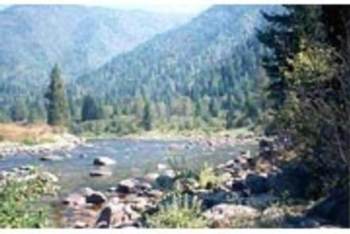
Wilderness Gateway Campground provides direct access to the Wild and Scenic Lochsa River. Visitors enjoy a variety of recreational opportunities, including world famous whitewater rafting. Hiking and horseback riding trails abound in the nearby Selway-Bitterroot Wilderness area, which is the 3rd-largest in the lower 48 United States. This large and unique campground offers respite for a variety of campers, including those with horses, horse trailers and RVs.Recreation
The Lochsa River is world famous for its exciting whitewater rafting opportunities. Visitors do not need a permit to float the Lochsa, but technical expertise is a must. The river is also a destination fly fishing experience for cutthroat and rainbow trout, chinook salmon and steelhead. There are a number of river access points near the campground, along Highway 12. Highway 12, also known as the Lewis and Clark Highway, winds along the narrow river canyon through evergreen trees and large rock outcroppings. Visitors to the area enjoy the scenic drive and historic sites along the way. Elk, deer, moose, bear, cougar and mountain goats make the steep canyon country their home, as well as other wildlife. A variety of birds are also active in the area. Boulder Creek cascades down into the campground on its descent from the neighboring 1.5-million acre Selway-Bitterroot Wilderness area. Several trails head into the wilderness from the campground, including the 15-mile Lochsa Peak Trail and the 27-mile Boulder Creek Trail. A 1-mile birding trail loops around the campground and the half-mile Downriver Trail leads to a scenic river overlook. All trails are open to hiking and the wilderness trails are also open to horseback riding. The Lochsa Historical Ranger Station, a living history visitor center, is located one mile southwest of the campground.Facilities
The campground offers dozens of accessible, single-family campsites and a large-group site, available for tent and RV camping. Utility hookups are not available and parking surfaces are paved. The group campsite can accommodate up to 208 people and 52 vehicles. If the group campsite (Loop A) is reserved, a combination code will be provided in your confirmation email to gain access to the site. Loop D hosts equestrian sites, which provide access to hitching rails, a watering and feeding station and staging area. Please only reserve Loop D if you have stock you intend to bring with you. From April until June 1 of every year, individuals with boats or campers are allowed to camp in the site. After June 1 - no other campers are allowed.
All campsites are equipped with tables and campfire rings with grills. Accessible vault toilets, flush toilets and drinking water are provided throughout the campground. Firewood is not provided, nor is it always available at the campground. Some sites are available on a first-come, first-served basis.
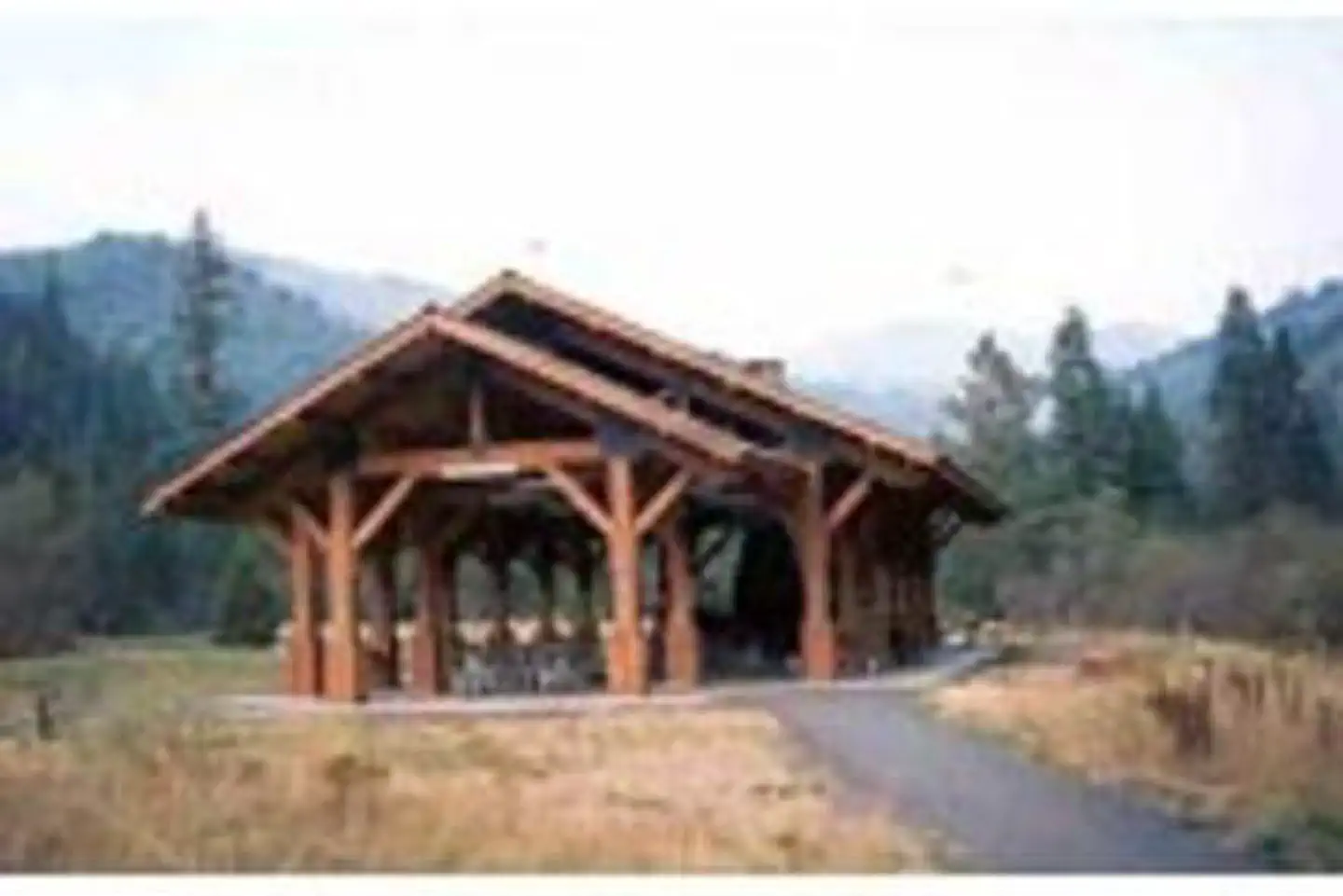
An adjacent, accessible group shelter is also available and can accommodate up to 200 people. If reserved, a combination code will be provided in the confirmation email. the code is needed to access the utility room which has a converter plug for the use with your personal generator. Access to the utility room is required to run the lights and electrical outlets in the pavilion. The pavilion is equipped with a stone fireplace and multiple tables. The Accessible flush toilets and a parking area are adjacent to the pavilion.
Natural Features
The campground is located in heavily wooded forest in north-central Idaho at an elevation of 2,100 feet. It is adjacent to the Lochsa River. Lochsa is a Nez Perce word meaning "rough water." The 70-mile river and its tributaries have no dams and flow is unregulated from its headwaters near the Powell Ranger Station in the Bitterroots, to Lowell, where it joins the Selway River to form the Middle Fork of the Clearwater River. The Lochsa is one of the world's best for continuous whitewater.Contact Info
For facility specific information, please call (208) 942-3113.Nearby Attractions
*1 hour from access to the National Historic Lolo Trail Corridor *1 mile from the Lochsa Historical Ranger Station and Visitor CenterThe facts
- Season: opens may 14 – closes september 30 — USDA Forest Service, Aug 24, 2026
- 71 bookable sites
- 1 site for day use only
- Vehicles up to 99 ft
- Up to 208 people per site
- Loops: AREA WILDERNESS GATEWAY, GPAV, GROUP LOOP A, GW B, GW C, GW D
Site types
- 69 Standard Nonelectric
- 1 Group Shelter Nonelectric
- 1 Group Standard Nonelectric
Amenities
- Campfires allowed
- Fire pits
- Picnic tables
- Shade
- Pets allowed
Not recorded upstream: electric hookups, water hookups, sewer hookups, grills.
71 campsites at Wilderness Gateway
| Site | Loop | Type | Entry | Surface | Max rig | People | |
|---|---|---|---|---|---|---|---|
| HOST | AREA WILDERNESS GATEWAY | Standard Nonelectric | Back In | Paved | 50 ft | 8 | 🐾 |
| 001 | GPAV | Group Shelter Nonelectric | — | Paved | — | 200 | 🐾 |
| Group | GROUP LOOP A | Group Standard Nonelectric | Back In | Paved | 60 ft | 208 | 🐾 |
| B | GW B | Standard Nonelectric | Back In | Paved | 50 ft | 8 | 🐾 |
| B03 | GW B | Standard Nonelectric | Pull Through | Paved | 99 ft | 8 | 🐾 |
| B05 | GW B | Standard Nonelectric | Pull Through | Paved | 99 ft | 8 | 🐾 |
| B07 | GW B | Standard Nonelectric | Back In | Paved | 54 ft | 8 | 🐾 |
| B09 | GW B | Standard Nonelectric | Back In | Paved | 48 ft | 8 | 🐾 |
| B1 | GW B | Standard Nonelectric | — | — | — | — | |
| B10 | GW B | Standard Nonelectric | Back In | Paved | 50 ft | 8 | 🐾 |
| B11 | GW B | Standard Nonelectric | Back In | Paved | 46 ft | 8 | 🐾 |
| B11-N | GW B | Standard Nonelectric | — | — | — | — | |
| B12 | GW B | Standard Nonelectric | Back In | Paved | 48 ft | 8 | 🐾 |
| B13 | GW B | Standard Nonelectric | — | — | — | — | |
| B14 | GW B | Standard Nonelectric | — | — | — | — | |
| B15 | GW B | Standard Nonelectric | Pull Through | Paved | 52 ft | 8 | 🐾 |
| B16 | GW B | Standard Nonelectric | — | — | — | — | |
| B17 | GW B | Standard Nonelectric | Back In | Paved | 32 ft | 8 | 🐾 |
| B18 | GW B | Standard Nonelectric | Back In | Paved | 36 ft | 8 | 🐾 |
| B19 | GW B | Standard Nonelectric | Back In | Paved | 49 ft | 8 | 🐾 |
| B2 | GW B | Standard Nonelectric | — | — | — | — | |
| B20 | GW B | Standard Nonelectric | Back In | Paved | 44 ft | 8 | 🐾 |
| B21 | GW B | Standard Nonelectric | — | — | — | — | |
| B22 | GW B | Standard Nonelectric | — | — | — | — | |
| B23 | GW B | Standard Nonelectric | — | — | — | — | |
| B24 | GW B | Standard Nonelectric | Pull Through | Paved | 75 ft | 8 | 🐾 |
| B25 | GW B | Standard Nonelectric | — | — | — | — | |
| B26 | GW B | Standard Nonelectric | — | — | — | — | |
| B27 | GW B | Standard Nonelectric | — | — | — | — | |
| B4 | GW B | Standard Nonelectric | — | — | — | — | |
| B6 | GW B | Standard Nonelectric | — | — | — | — | |
| B8 | GW B | Standard Nonelectric | — | — | — | — | |
| C | GW C | Standard Nonelectric | Back In | Paved | 35 ft | 8 | 🐾 |
| C1 | GW C | Standard Nonelectric | — | — | — | — | |
| C10 | GW C | Standard Nonelectric | — | — | — | — | |
| C11 | GW C | Standard Nonelectric | Back In | Paved | 30 ft | 8 | 🐾 |
| C12 | GW C | Standard Nonelectric | Back In | Paved | 29 ft | 8 | 🐾 |
| C13 | GW C | Standard Nonelectric | Back In | Paved | 30 ft | 8 | 🐾 |
| C14 | GW C | Standard Nonelectric | — | — | — | — | |
| C15 | GW C | Standard Nonelectric | Back In | Paved | 26 ft | 8 | 🐾 |
| C16 | GW C | Standard Nonelectric | — | — | — | — | |
| C17 | GW C | Standard Nonelectric | Back In | Paved | 31 ft | 8 | 🐾 |
| C18 | GW C | Standard Nonelectric | — | — | — | — | |
| C19 | GW C | Standard Nonelectric | — | — | — | — | |
| C2 | GW C | Standard Nonelectric | — | — | — | — | |
| C20 | GW C | Standard Nonelectric | Back In | Paved | 19 ft | 8 | 🐾 |
| C21 | GW C | Standard Nonelectric | — | — | — | — | |
| C22 | GW C | Standard Nonelectric | Back In | Paved | 27 ft | 8 | 🐾 |
| C23 | GW C | Standard Nonelectric | Back In | Paved | 45 ft | 8 | 🐾 |
| C24 | GW C | Standard Nonelectric | Back In | Paved | 45 ft | 8 | 🐾 |
| C25 | GW C | Standard Nonelectric | — | — | — | — | |
| C26 | GW C | Standard Nonelectric | — | — | — | — | |
| C3 | GW C | Standard Nonelectric | — | — | — | — | |
| C4 | GW C | Standard Nonelectric | — | — | — | — | |
| C5 | GW C | Standard Nonelectric | — | — | — | — | |
| C6 | GW C | Standard Nonelectric | — | — | — | — | |
| C7 | GW C | Standard Nonelectric | — | — | — | — | |
| C8 | GW C | Standard Nonelectric | — | — | — | — | |
| C9 | GW C | Standard Nonelectric | — | — | — | — | |
| D | GW D | Standard Nonelectric | Back In | Paved | 47 ft | 8 | 🐾 |
| D02 | GW D | Standard Nonelectric | Back In | Paved | 50 ft | 8 | 🐾 |
| D04 | GW D | Standard Nonelectric | Back In | Paved | 54 ft | 8 | 🐾 |
| D08 | GW D | Standard Nonelectric | Back In | Paved | 45 ft | 8 | 🐾 |
| D09 | GW D | Standard Nonelectric | Back In | Paved | 47 ft | 8 | 🐾 |
| D1 | GW D | Standard Nonelectric | — | — | — | — | |
| D10 | GW D | Standard Nonelectric | Back In | Paved | 37 ft | 8 | 🐾 |
| D11 | GW D | Standard Nonelectric | — | — | — | — | |
| D3 | GW D | Standard Nonelectric | — | — | — | — | |
| D5 | GW D | Standard Nonelectric | — | — | — | — | |
| D6 | GW D | Standard Nonelectric | — | — | — | — | |
| D7 | GW D | Standard Nonelectric | — | — | — | — |
Getting there
The campground is located 120 miles east of Lewiston, Idaho; and 100 miles west of Missoula, Mont. It is located at milepost 122 on Highway 12.
46.34000, -115.30667 · 46°20'24.0"N 115°18'24.0"W
Typical weather
| Jan | Feb | Mar | Apr | May | Jun | Jul | Aug | Sep | Oct | Nov | Dec | |
|---|---|---|---|---|---|---|---|---|---|---|---|---|
| High °F | — | — | — | — | — | — | — | — | — | — | — | — |
| Low °F | — | — | — | — | — | — | — | — | — | — | — | — |
| Precip in | 9.9 | 7.7 | 7.9 | 6.3 | 5.0 | 4.4 | 1.4 | 1.6 | 2.7 | 6.1 | 9.4 | 9.6 |
1991–2020 averages from the nearest NOAA station, 15.2 mi away — not measured at the facility itself, and elevation can make a real difference over that distance.
Map
More photos
Member photos
Common questions about Wilderness Gateway
- Can you reserve a site at Wilderness Gateway?
- Yes, Wilderness Gateway is reservable through Recreation.gov.
- How many campsites does Wilderness Gateway have?
- 71 sites.
- What is the maximum RV length at Wilderness Gateway?
- 99 ft. That is the longest vehicle the sites here are recorded as taking; individual sites may be shorter.
- Are pets allowed at Wilderness Gateway?
- Yes, pets are allowed at Wilderness Gateway.
- Are campfires allowed at Wilderness Gateway?
- Campfires are allowed at Wilderness Gateway. Check for a current fire restriction before you go.
Also listed by
Wilderness Gateway also appears in other federal recreation data. Facts below are matched by name and location, not confirmed by Wilderness Gateway's operator.
USDA Forest Service — data as of Aug 24, 2026
- $14.00 per site with an 8 person site maximum. $2 per extra vehicle. Senior Passes are accepted.
Restrictions:
- Stock camping Loop D only.
Camping near Wilderness Gateway
- Castle Butte Lookout 7.7 mi · Campground · we watch it
- Liz Creek Cabin 9.7 mi · Campground · we watch it
- Glade Creek Campground 13.4 mi · Campground · we watch it
- Walde Lookout Cabin 17.3 mi · Campground · we watch it
- Split Creek Trailhead and River Access 8.7 mi · Facility
- Eagle Mountain Trailhead 9.8 mi · Facility
- Knife Edge Campground and River Access 11.1 mi · Campground
- Apgar Campground 13.9 mi · Campground
- Mocus Point Trailhead 16.2 mi · Facility
- Fog Mountain Trailhead 16.3 mi · Facility
- Glover Campground 18.7 mi · Campground
- Twenty-mile Bar Dispersed Site 18.7 mi · Campground
Contact
- Phone 208-926-4258
- Book Recreation.gov
Recreation.gov last updated this record on 2026-05-12.
Facility information and photographs from Recreation.gov (RIDB). SpotOpened is not affiliated with Recreation.gov or any federal agency.
Comments