West Point Recreation Area
Campground · 1 bookable site ·
Managed by the USDA Forest Service
Chequamegon National Forest (NF) · Open Access
- 1
- Bookable site
- up to 8
- People per site
- 1,404 ft
- Elevation
Overview
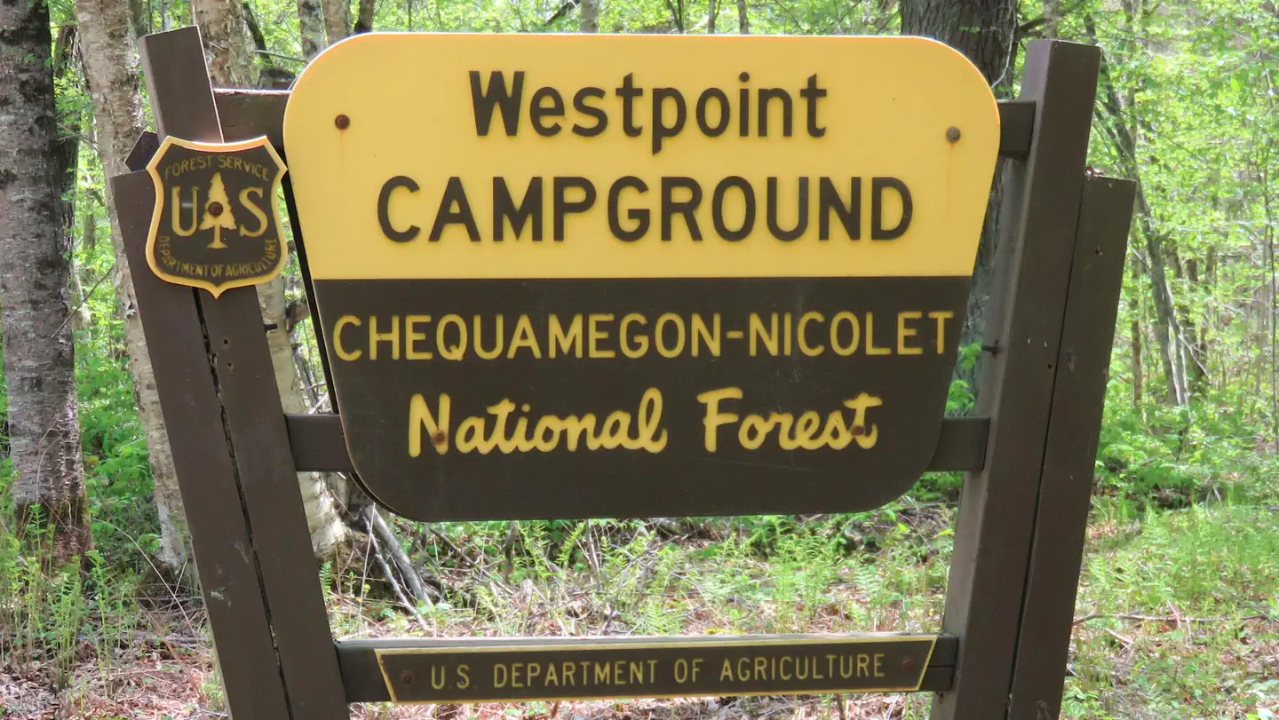
The Westpoint Campground is a family-friendly campground with access to a beautiful northern Wisconsin recreation area, complete with hiking trails and a scenic lake.
Recreation
A boat ramp into the 411-acre Mondeaux Flowage is available not far from the campground. The lake, although rather shallow, is popular for swimming and fishing. Anglers can expect a catch of musky, pan fish, largemouth bass and pike, among other varieties.
A series of hiking trails is available in the area, including for the 1,200-mile Ice Age National Scenic Trail, which traces the edges of a historic glacier that once covered the state of Wisconsin and much of North America.
Facilities
The campground offers a dozen sites for tent or RV camping. No hookups are available.
Each site is equipped with tables and campfire rings with grills. Accessible vault toilets are provided. Drinking water is available at the campround or at Glacial Springs, located on Park Road (FR 1563). A picnic area is available at the nearby Mondeaux Picnic Area.
Natural Features
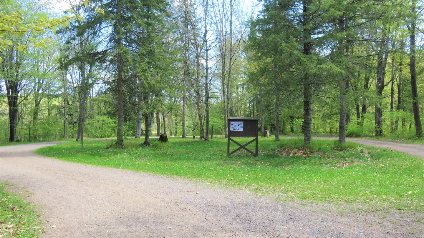
The campground sits within the Chequamegon-Nicolet National Forest, near the city of Medford. Shady sites are nestled along the Mondeaux Flowage, with the Ice Age National Scenic Trail traversing the campground.
Nearby Attractions
The campground is just a couple miles from the popular Mondeaux Picnic Area at the Mondeaux Dam Recreation Area.
The facts
- Season: May 2 – October 31 — USDA Forest Service, Aug 24, 2026
- 1 bookable site
- Up to 8 people per site
- Loops: Scan and Pay
Site types
- 1 Standard Nonelectric
Amenities
- Campfires allowed
- Fire pits
- Picnic tables
- Shade
- Pets allowed
- Water hookups — not available
Not recorded upstream: electric hookups, sewer hookups, grills.
1 campsite at West Point Recreation Area
Check-in 2:00 PM · Check-out 2:00 PM
| Site | Loop | Type | Entry | Surface | Max rig | People | |
|---|---|---|---|---|---|---|---|
| Standard | Scan and Pay | Standard Nonelectric | — | Gravel | — | 8 | 🐾 |
Getting there
45.31770, -90.43810 · 45°19'3.7"N 90°26'17.2"W
Typical weather
Typically 79°F in Jul, down to 21°F in Jan.
| Jan | Feb | Mar | Apr | May | Jun | Jul | Aug | Sep | Oct | Nov | Dec | |
|---|---|---|---|---|---|---|---|---|---|---|---|---|
| High °F | 21 | 26 | 38 | 52 | 66 | 75 | 79 | 77 | 69 | 55 | 39 | 26 |
| Low °F | 2 | 6 | 18 | 31 | 43 | 53 | 57 | 55 | 47 | 35 | 23 | 10 |
| Precip in | 1.1 | 1.1 | 1.7 | 3.0 | 3.7 | 4.8 | 4.0 | 4.3 | 3.9 | 3.3 | 1.9 | 1.4 |
1991–2020 averages from the nearest NOAA station, 13.7 mi away — not measured at the facility itself, and elevation can make a real difference over that distance.
Map
More photos

Member photos
Common questions about West Point Recreation Area
- Can you reserve a site at West Point Recreation Area?
- Yes, West Point Recreation Area is reservable through Recreation.gov.
- How many campsites does West Point Recreation Area have?
- 1 site.
- Are pets allowed at West Point Recreation Area?
- Yes, pets are allowed at West Point Recreation Area.
- Does West Point Recreation Area have hookups?
- No hookups are recorded here.
- Are campfires allowed at West Point Recreation Area?
- Campfires are allowed at West Point Recreation Area. Check for a current fire restriction before you go.
Also listed by
West Point Recreation Area also appears in other federal recreation data. Facts below are matched by name and location, not confirmed by West Point Recreation Area's operator.
USDA Forest Service — data as of Aug 24, 2026
- $15 per night. $7.50 with the use of an Interagency Pass (access or senior) .
Restrictions:
- A maximum of eight people and four vehicles are allowed at each campsite. Vehicles include vehicles, wheeled camping units, and trailers.
- Pets must be crated, caged, or on a leash less than 6’ in length while in developed recreation areas.
- The firewood closure order prohibits possessing, storing, or transporting any firewood that originates more than 25 miles from your campsite. For more information, click here .
- For current fire danger, check the Wisconsin Department of Natural Resources burn restrictions website . Any prohibitions in place, including fire bans, will be posted on our website and site bulletin boards.
- Quiet hours are from 10 pm to 6 am.
- The use of generators is not allowed during quiet hours.
- Restrictions for all National Forest System lands can be found by visiting Title 36 Code of Federal Regulations 261 . The Chequamegon-Nicolet National Forest-specific restrictions can be found on the Occupancy and Use Restrictions page.
Camping near West Point Recreation Area
- Spearhead Point Shelter 0.8 mi · Campground · we watch it
- Spearhead Point 0.8 mi · Campground · we watch it
- Picnic Point (Wi) 0.8 mi · Campground · we watch it
- Eastwood 1 mi · Campground · we watch it
- Chippewa 14.6 mi · Campground · we watch it
- Sailor Lake 37.1 mi · Campground · we watch it
- Sailor Lake Pavilion 37.5 mi · Campground · we watch it
- Smith Rapids Pavilion 42.9 mi · Campground · we watch it
- Smith Rapids 42.9 mi · Campground · we watch it
- Twin Lakes (Wi) 47.4 mi · Campground · we watch it
- North Twin Lake Recreation Area 2.5 mi · Campground
- Kathryn Lake Recreation Area 12 mi · Campground
Contact
- Book Recreation.gov
Recreation.gov last updated this record on 2026-02-25.
Facility information and photographs from Recreation.gov (RIDB). SpotOpened is not affiliated with Recreation.gov or any federal agency.
Comments