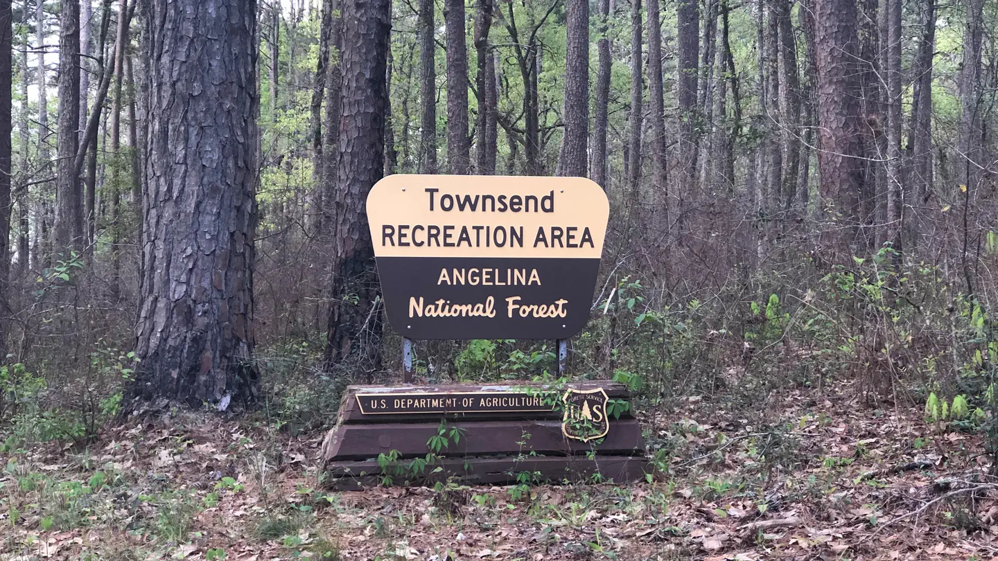
Townsend
Campground · 10 bookable sites ·
Managed by the USDA Forest Service
Bannister Wildlife Management Area (Wildlife Management Area) · Restricted Access
- 10
- Bookable sites
- 181 ft
- Elevation
Overview
This location is available on a first-come, first-served basis only. Visitors are required to physically arrive at the campground to purchase and claim a site. Once on-site, you may be able to pay for your campsite(s) by scanning a QR code using the Recreation.gov mobile app, and the Scan and Pay feature.
If this option is available, you will need to first download the free Recreation.gov mobile app https://www.recreation.gov/mobile-app prior to your arrival as some remote areas have limited or no cellular service.
Recreation
Boat ramp,Tent camping,Picnic tables,Parking
Natural Features
ocated in the heart of east Texas, the 153,179-acre Angelina National Forest is located in Angelina, Nacogdoches, San Augustine and Jasper counties. The forest lies in the Neches River Basin and on the north and south shores of Sam Rayburn Reservoir, a 114,500-acre lake on the Angelina River formed by the construction of Sam Rayburn Dam in the early 1960's.
Nearby Attractions
Lake Sam Rayburn
The facts
- 10 bookable sites
- 26 sites in total, including non-bookable
- 1 site for day use only
- Loops: Scan and Pay, Townsend
Site types
- 16 Management
- 10 Standard Nonelectric
26 campsites at Townsend
| Site | Loop | Type | Entry | Surface | Max rig | People | |
|---|---|---|---|---|---|---|---|
| ScanPay 2 | Scan and Pay | Management | — | — | — | — | |
| ScanPay 3 | Scan and Pay | Management | — | — | — | — | |
| ScanPay 4 | Scan and Pay | Management | — | — | — | — | |
| Standard | Scan and Pay | Standard Nonelectric | — | — | — | — | |
| 01 | Townsend | Standard Nonelectric | — | — | — | — | |
| 02 | Townsend | Standard Nonelectric | — | — | — | — | |
| 03 | Townsend | Standard Nonelectric | — | — | — | — | |
| 04 | Townsend | Standard Nonelectric | — | — | — | — | |
| 05 | Townsend | Standard Nonelectric | — | — | — | — | |
| 06 | Townsend | Standard Nonelectric | — | — | — | — | |
| 07 | Townsend | Standard Nonelectric | — | — | — | — | |
| 08 | Townsend | Standard Nonelectric | — | — | — | — | |
| 09 | Townsend | Standard Nonelectric | — | — | — | — | |
| 10 | Townsend | Management | — | — | — | — | |
| 11 | Townsend | Management | — | — | — | — | |
| 12 | Townsend | Management | — | — | — | — | |
| 13 | Townsend | Management | — | — | — | — | |
| 14 | Townsend | Management | — | — | — | — | |
| 15 | Townsend | Management | — | — | — | — | |
| 16 | Townsend | Management | — | — | — | — | |
| 17 | Townsend | Management | — | — | — | — | |
| 18 | Townsend | Management | — | — | — | — | |
| 19 | Townsend | Management | — | — | — | — | |
| 20 | Townsend | Management | — | — | — | — | |
| 21 | Townsend | Management | — | — | — | — | |
| 22 | Townsend | Management | — | — | — | — |
Getting there
31.35230, -94.31380 · 31°21'8.3"N 94°18'49.7"W
Typical weather
| Jan | Feb | Mar | Apr | May | Jun | Jul | Aug | Sep | Oct | Nov | Dec | |
|---|---|---|---|---|---|---|---|---|---|---|---|---|
| High °F | — | — | — | — | — | — | — | — | — | — | — | — |
| Low °F | — | — | — | — | — | — | — | — | — | — | — | — |
| Precip in | 4.7 | 4.1 | 4.5 | 4.2 | 3.9 | 4.9 | 3.0 | 3.5 | 3.8 | 5.1 | 4.5 | 5.9 |
1991–2020 averages from the nearest NOAA station, 4.2 mi away — not measured at the facility itself, and elevation can make a real difference over that distance.
Map
Member photos
Common questions about Townsend
- Can you reserve a site at Townsend?
- Yes, Townsend is reservable through Recreation.gov.
- How many campsites does Townsend have?
- 26 sites in total, of which 10 can be booked.
Camping near Townsend
- Hanks Creek 7.7 mi · Campground · we watch it
- Caney Creek 15.3 mi · Campground · we watch it
- San Augustine 17.4 mi · Campground · we watch it
- Boykin Springs Camping 20.4 mi · Campground · we watch it
- Rayburn 20.9 mi · Campground · we watch it
- Boykin Springs Pavilion 20.9 mi · Campground · we watch it
- Ebenezer Park 22.5 mi · Campground · we watch it
- Mill Creek (Texas) 22.9 mi · Campground · we watch it
- Twin Dikes 24.5 mi · Campground · we watch it
- ANGELINA (Sam Rayburn Reservoir Area) 936-897-1068 9.5 mi · Facility
- National Forests and Grasslands in Texas Day Use 20.2 mi · Activity pass
- Boykin Springs: (936) 897-1068 20.4 mi · Campground
Contact
- Phone N/A
- Book Recreation.gov
Recreation.gov last updated this record on 2026-02-25.
Facility information and photographs from Recreation.gov (RIDB). SpotOpened is not affiliated with Recreation.gov or any federal agency.
Comments