Rosita Flats
Facility ·
Managed by the National Park Service
- 3,387 ft
- Elevation
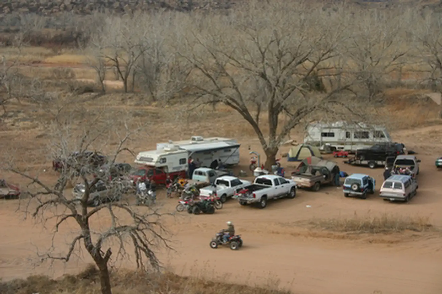
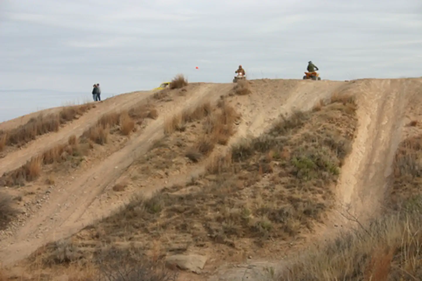
This campground consists of dispersed camping along the Canadian River in one of the park's ORV-use areas. ORV operators must have state of Texas Off-Highway Vehicle decal and wear DOT-approved safety gear.
Getting there
(From Amarillo):
Head north on US‑287.
• Turn right (east) onto FM 1060 at Masterson.
• Continue to TX‑136, turn right (south).
• Watch for Rosita Flats signs, turn left to the access road.
From Fritch, Texas: Head south out of Fritch on TX‑136.
• Continue for several miles.
• Look for Rosita Flats signage on the left side of the highway.
• Turn left onto the gravel access road and follow it into the campground/OHV area.
GPS Coordinates
35.5669° N, 101.4975° W
35.36629, -101.23698 · 35°21'58.6"N 101°14'13.1"W
Typical weather
Typically 93°F in Jul, down to 50°F in Jan.
| Jan | Feb | Mar | Apr | May | Jun | Jul | Aug | Sep | Oct | Nov | Dec | |
|---|---|---|---|---|---|---|---|---|---|---|---|---|
| High °F | 50 | 54 | 64 | 72 | 80 | 89 | 93 | 91 | 84 | 73 | 60 | 50 |
| Low °F | 24 | 27 | 34 | 42 | 52 | 62 | 66 | 65 | 57 | 45 | 33 | 25 |
| Precip in | 0.5 | 0.5 | 1.2 | 1.6 | 2.7 | 3.2 | 2.6 | 3.1 | 1.9 | 2.0 | 0.8 | 0.9 |
1991–2020 averages from the nearest NOAA station, 8.7 mi away — not measured at the facility itself, and elevation can make a real difference over that distance.
Map
More photos
Member photos
Common questions about Rosita Flats
- Can you reserve a site at Rosita Flats?
- No. Rosita Flats is not reservable through Recreation.gov, so sites are first-come, first-served or booked elsewhere.
Camping near Rosita Flats
- Sanford Yake Campground 6.3 mi · Campground
- Sanford Yake 6.3 mi · Campground
- Lake McClellan UTV/ATV Area 23.3 mi · Activity pass
- McDowell Campground 23.4 mi · Campground
- East Bluff #1 Campground - Lake McClellan 23.5 mi · Campground
- Park Headquarters 27.5 mi · Facility
- Fort Ebey State Park 29.4 mi · Facility
- Harbor Bay Campground 29.4 mi · Campground
- Cedar Canyon Campground 29.7 mi · Campground
- Fritch Fortress 29.8 mi · Facility
- Alibates Visitor Center 30.1 mi · Facility
- Blue West Campground 31 mi · Campground
Contact
- Phone (806) 85-7 3151
- Email lamr_interpretation@nps.gov
- Info Recreation.gov
Recreation.gov last updated this record on 2026-02-25.
Facility information and photographs from Recreation.gov (RIDB). SpotOpened is not affiliated with Recreation.gov or any federal agency.
Comments